Haybrow Plantation
Wood, Forest in Yorkshire Scarborough
England
Haybrow Plantation
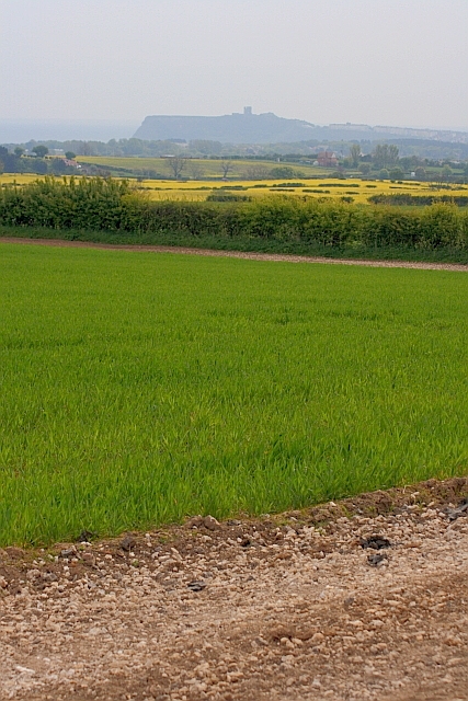
Haybrow Plantation is a picturesque woodland located in the heart of Yorkshire, England. Spread across several acres, this enchanting forest offers a serene and tranquil escape from the bustling city life. The plantation is nestled amidst the rolling hills of Yorkshire, surrounded by lush greenery and diverse wildlife.
The woodland is primarily composed of a mix of deciduous and coniferous trees, creating a unique and varied ecosystem. Towering oak, beech, and maple trees dominate the landscape, providing a dense canopy that filters the sunlight and creates a soothing atmosphere. The forest floor is covered in a thick carpet of moss, ferns, and wildflowers, adding to the natural beauty of the area.
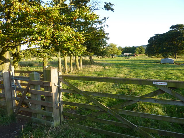
Haybrow Plantation is a haven for nature enthusiasts and hikers, offering numerous walking trails that wind through the forest. These trails cater to all levels of fitness and provide an opportunity to explore the diverse flora and fauna that call this woodland home. Birdwatching is also a popular activity in the area, as the forest is frequented by various species of birds, including woodpeckers, owls, and thrushes.
The plantation is managed sustainably, with efforts focused on preserving the natural habitat and promoting biodiversity. Conservation initiatives are in place to protect rare and endangered species that reside within the woodland. This commitment to environmental stewardship has earned Haybrow Plantation recognition as an important site for conservation and a valuable educational resource.
Visitors to Haybrow Plantation can expect to experience a harmonious blend of nature and tranquility. The combination of breathtaking scenery, diverse wildlife, and well-maintained trails make this woodland a must-visit destination for nature lovers and those seeking respite in the serene embrace of Yorkshire's natural beauty.
If you have any feedback on the listing, please let us know in the comments section below.
Haybrow Plantation Images
Images are sourced within 2km of 54.302892/-0.47894937 or Grid Reference SE9990. Thanks to Geograph Open Source API. All images are credited.


![Bungalows on North Street, Scalby The road sign reminds drivers to test their brakes after crossing the [usually dry] ford on Barmoor Lane.](https://s3.geograph.org.uk/geophotos/02/69/80/2698091_53c5dc2d.jpg)


Haybrow Plantation is located at Grid Ref: SE9990 (Lat: 54.302892, Lng: -0.47894937)
Division: North Riding
Administrative County: North Yorkshire
District: Scarborough
Police Authority: North Yorkshire
What 3 Words
///overdone.disposal.afflict. Near Burniston, North Yorkshire
Nearby Locations
Related Wikis
Suffield, North Yorkshire
Suffield is a hamlet in the parish of Suffield-cum-Everley in the Scarborough district of North Yorkshire, England. the hamlet is 4.5 miles (7.2 km) north...

Newby and Scalby
Newby and Scalby is a civil parish in the Scarborough district of North Yorkshire, England, formed by the smaller southern area of Newby and the larger...

Scalby, North Yorkshire
Scalby, a village on the north edge of Scarborough, North Yorkshire, England, is part of the civil parish of Newby and Scalby. From 1902 to 1974, Scalby...

Hackness
Hackness is a village and civil parish in the Scarborough district of the county of North Yorkshire, England. It lies within the North York Moors National...
Nearby Amenities
Located within 500m of 54.302892,-0.47894937Have you been to Haybrow Plantation?
Leave your review of Haybrow Plantation below (or comments, questions and feedback).