Anglesea Spinney
Wood, Forest in Bedfordshire
England
Anglesea Spinney
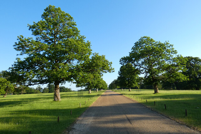
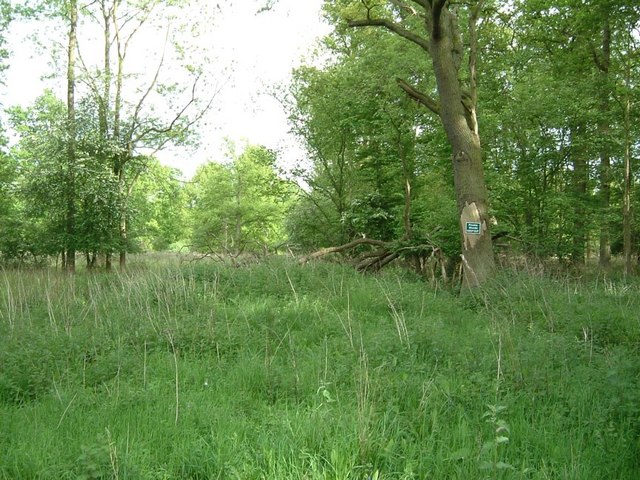
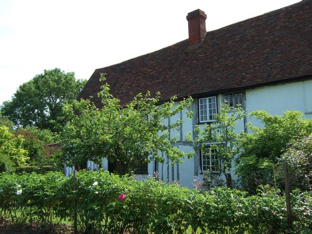
Anglesea Spinney is a small woodland area located in Bedfordshire, England. The spinney is nestled between the towns of Ampthill and Maulden, and covers an area of approximately 10 acres. It is part of the wider Anglesea Abbey estate, which is managed by the National Trust.
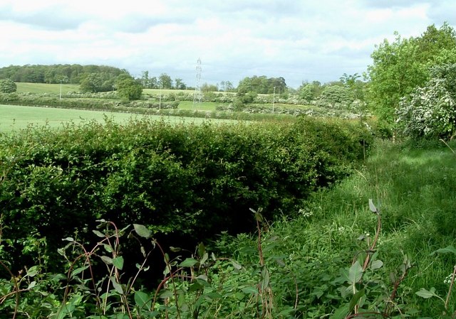
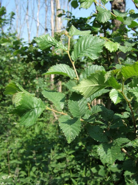
The spinney is predominantly made up of mixed broadleaf trees, including oak, ash, beech, and birch. These trees provide a diverse habitat for a variety of wildlife, including birds, mammals, and insects. The woodland floor is covered in a carpet of bluebells during the springtime, creating a picturesque scene.
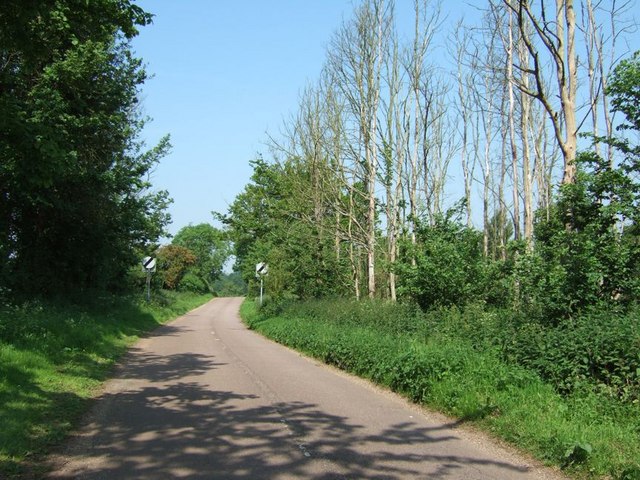
Visitors to Anglesea Spinney can enjoy a network of well-maintained footpaths that wind through the woodland, allowing for peaceful walks and nature exploration. The paths are suitable for all ages and abilities, making it an ideal destination for families and nature enthusiasts alike.
Throughout the year, the spinney hosts a range of events and activities, organized by the National Trust. These include guided walks, nature trails, and educational programs for children, aimed at fostering a deeper understanding and appreciation for the natural environment.
Anglesea Spinney provides a tranquil retreat from the hustle and bustle of everyday life, offering visitors the opportunity to immerse themselves in the beauty of nature. Whether it's a leisurely stroll through the trees, birdwatching, or simply enjoying a picnic in the peaceful surroundings, Anglesea Spinney is a hidden gem in Bedfordshire that is well worth exploring.
If you have any feedback on the listing, please let us know in the comments section below.
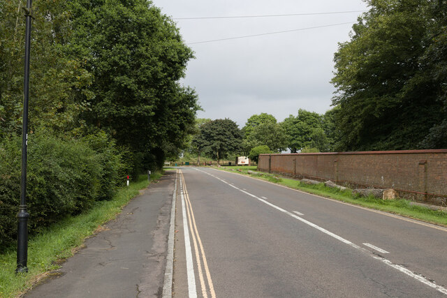
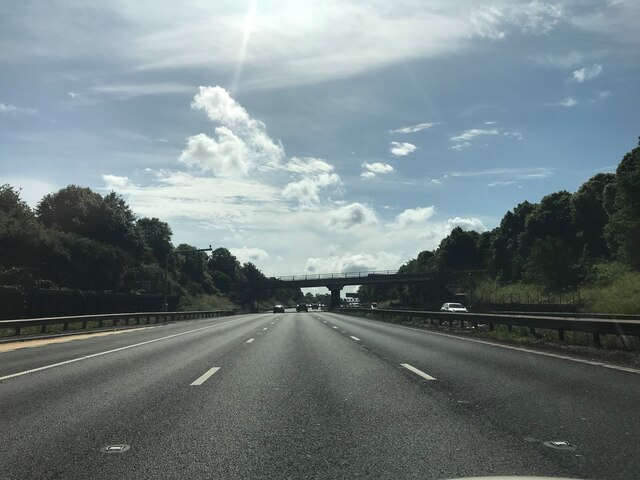
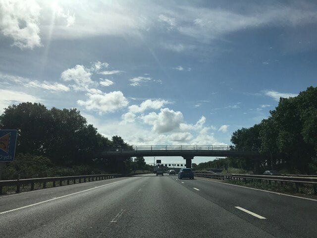
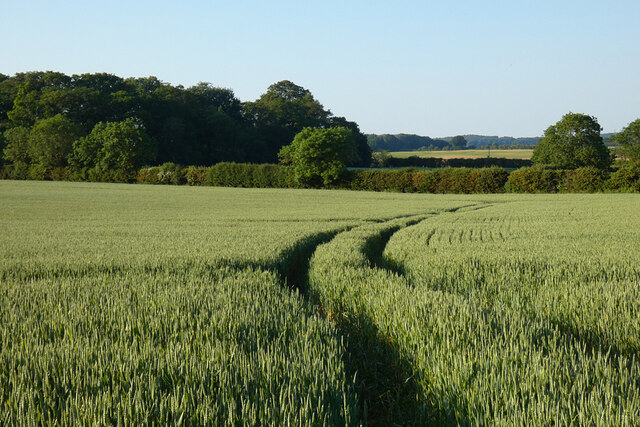
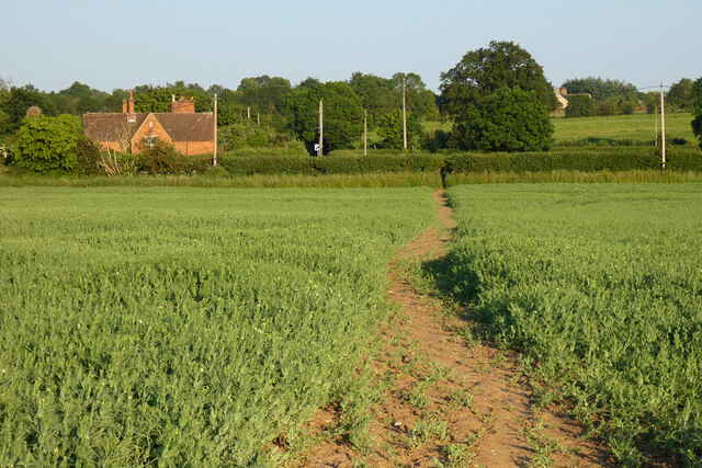
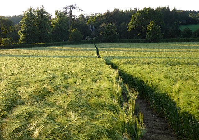
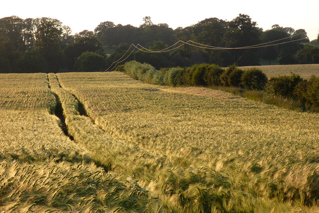
Anglesea Spinney Images
Images are sourced within 2km of 52.001985/-0.56729334 or Grid Reference SP9834. Thanks to Geograph Open Source API. All images are credited.
Anglesea Spinney is located at Grid Ref: SP9834 (Lat: 52.001985, Lng: -0.56729334)
Unitary Authority: Central Bedfordshire
Police Authority: Bedfordshire
What 3 Words
///yard.brotherly.villa. Near Ridgmont, Bedfordshire
Nearby Locations
Related Wikis
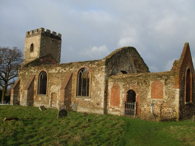
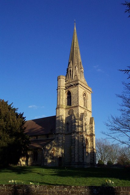
All Saints Church, Segenhoe
All Saints Church, Segenhoe is a ruined medieval church located near the village of Ridgmont, Bedfordshire. It contains architectural details that range...
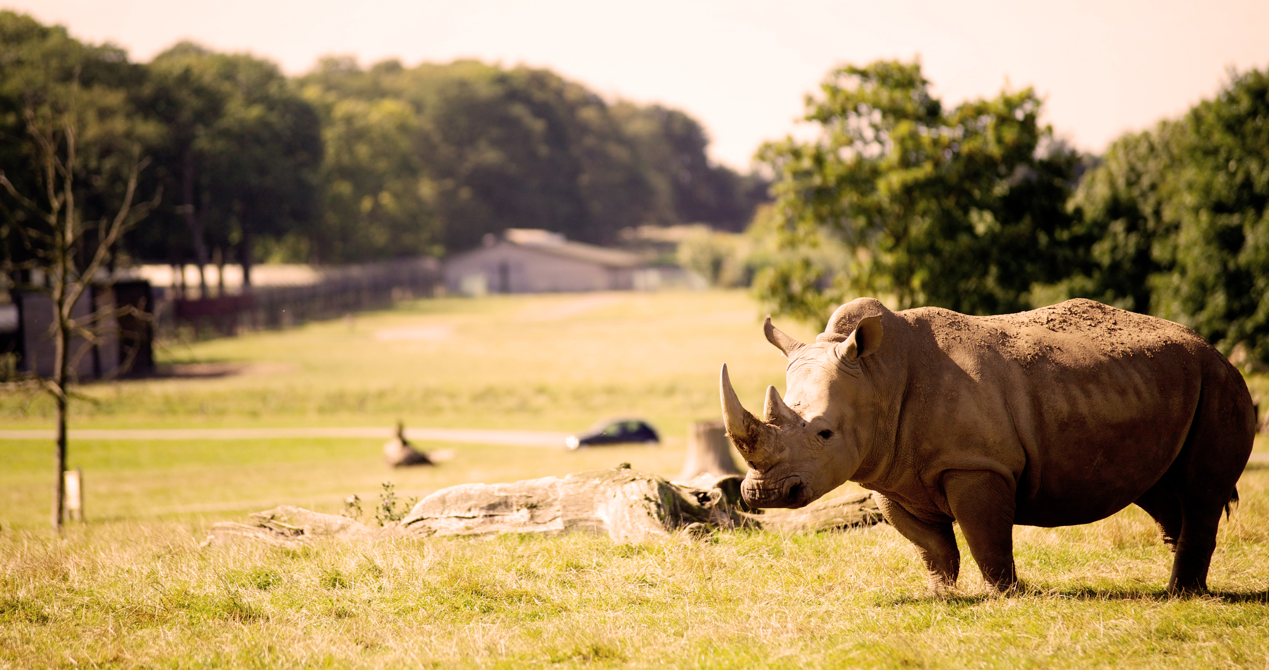
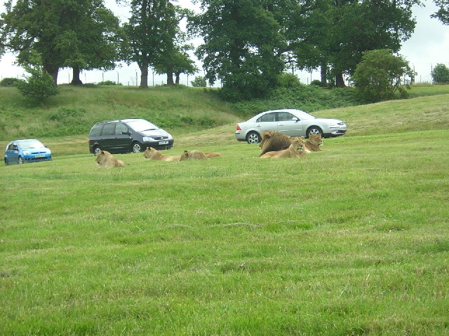
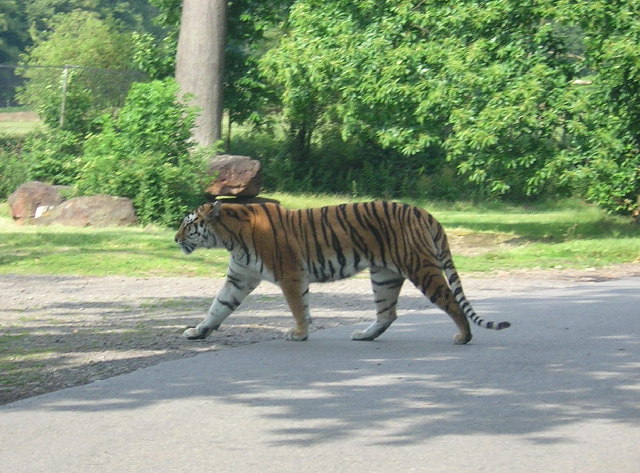
Woburn Safari Park
Woburn Safari Park is a safari park located in Woburn, Bedfordshire, England. Visitors to the park can drive through exhibits, which contain species such...

Froxfield, Bedfordshire
Froxfield is a small hamlet in Bedfordshire, England. == References == The geographic coordinates are from the Ordnance Survey.

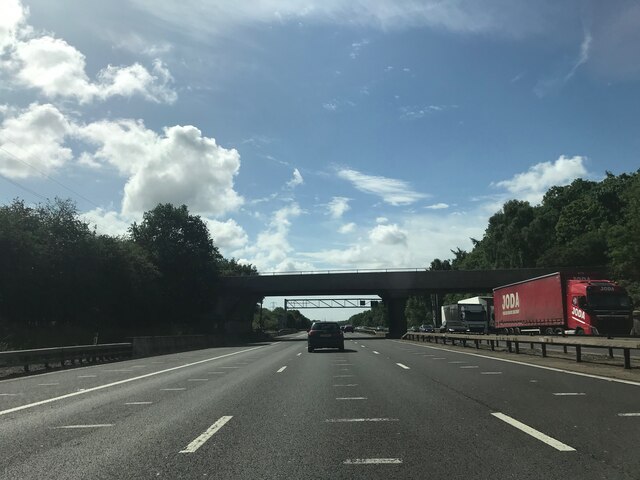
Ridgmont
Ridgmont is a small village and civil parish in Bedfordshire, England. It is located beside junction 13 of the M1 motorway, and close to Milton Keynes...
Nearby Amenities
Located within 500m of 52.001985,-0.56729334Have you been to Anglesea Spinney?
Leave your review of Anglesea Spinney below (or comments, questions and feedback).