Higher Berry End
Settlement in Bedfordshire
England
Higher Berry End
Higher Berry End is a small hamlet located in the county of Bedfordshire, England. Situated approximately 8 miles south of Bedford, it is nestled amidst the picturesque rural landscapes of the Bedfordshire countryside. The hamlet is part of the wider parish of Pulloxhill.
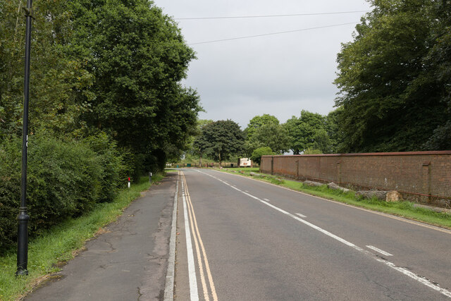
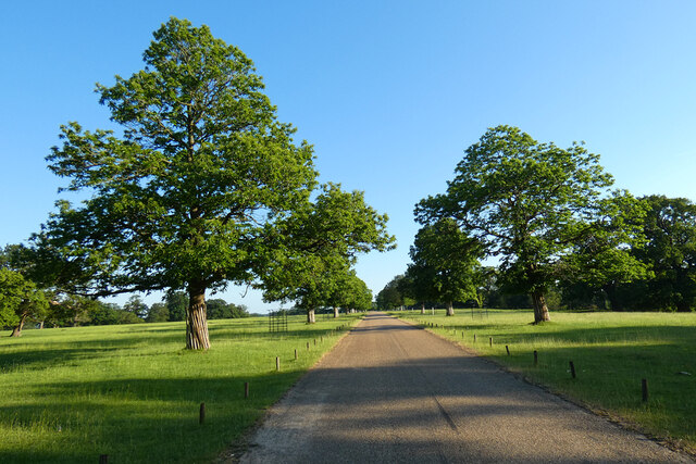
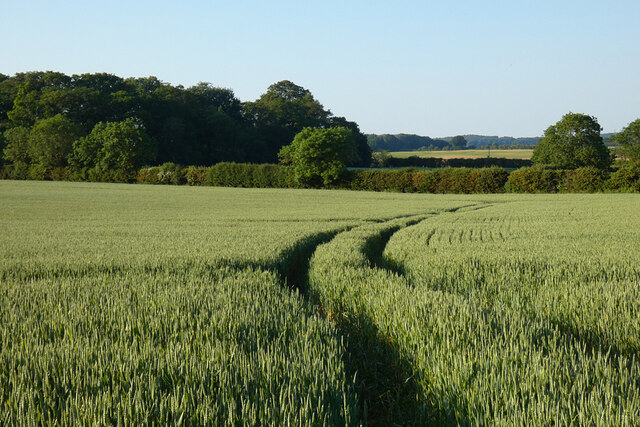
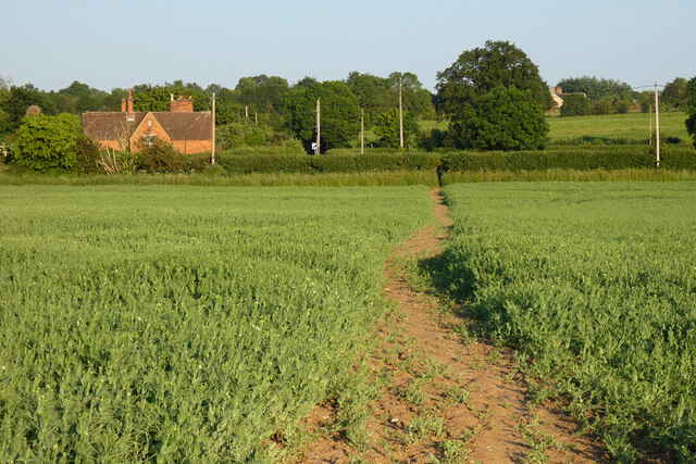
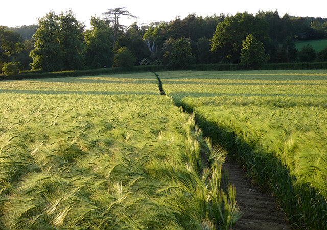
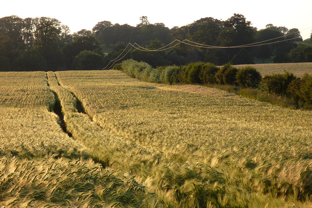
Higher Berry End is characterized by its tranquil and idyllic setting, boasting an abundance of green fields, rolling hills, and charming country lanes. The area is predominantly agricultural, with farming being the primary occupation of the local residents. The hamlet is dotted with traditional farmhouses and cottages, adding to its rustic charm.
Despite its small size, Higher Berry End offers a close-knit community atmosphere. The residents take pride in their surroundings, and there is a sense of neighborly support and camaraderie among the locals. The hamlet benefits from a strong community spirit, with occasional events and gatherings bringing residents together.
The surrounding natural beauty of Higher Berry End provides ample opportunities for outdoor activities. Walking and cycling are popular pastimes, with numerous scenic routes and footpaths crisscrossing the area. The nearby Ampthill Park offers a scenic retreat, with its vast open spaces, woodlands, and historic parkland.
In terms of amenities, Higher Berry End is relatively limited. However, essential services and facilities can be found in the nearby towns of Bedford and Ampthill, which are a short drive away. This allows residents to enjoy a peaceful rural lifestyle while still having access to urban conveniences when needed.
Overall, Higher Berry End is a charming and tranquil hamlet, offering a peaceful retreat for those seeking a rural escape in the heart of Bedfordshire.
If you have any feedback on the listing, please let us know in the comments section below.
Higher Berry End Images
Images are sourced within 2km of 51.999767/-0.570248 or Grid Reference SP9834. Thanks to Geograph Open Source API. All images are credited.


Higher Berry End is located at Grid Ref: SP9834 (Lat: 51.999767, Lng: -0.570248)
Unitary Authority: Central Bedfordshire
Police Authority: Bedfordshire
What 3 Words
///nipped.mend.dizzy. Near Eversholt, Bedfordshire
Nearby Locations
Related Wikis

Froxfield, Bedfordshire
Froxfield is a small hamlet in Bedfordshire, England. == References == The geographic coordinates are from the Ordnance Survey.
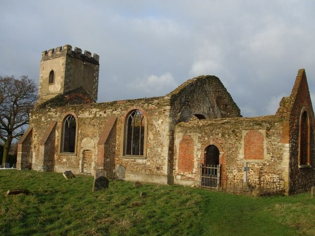
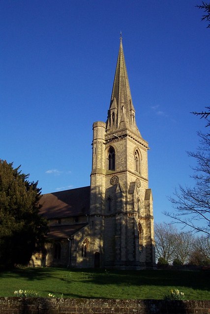
All Saints Church, Segenhoe
All Saints Church, Segenhoe is a ruined medieval church located near the village of Ridgmont, Bedfordshire. It contains architectural details that range...
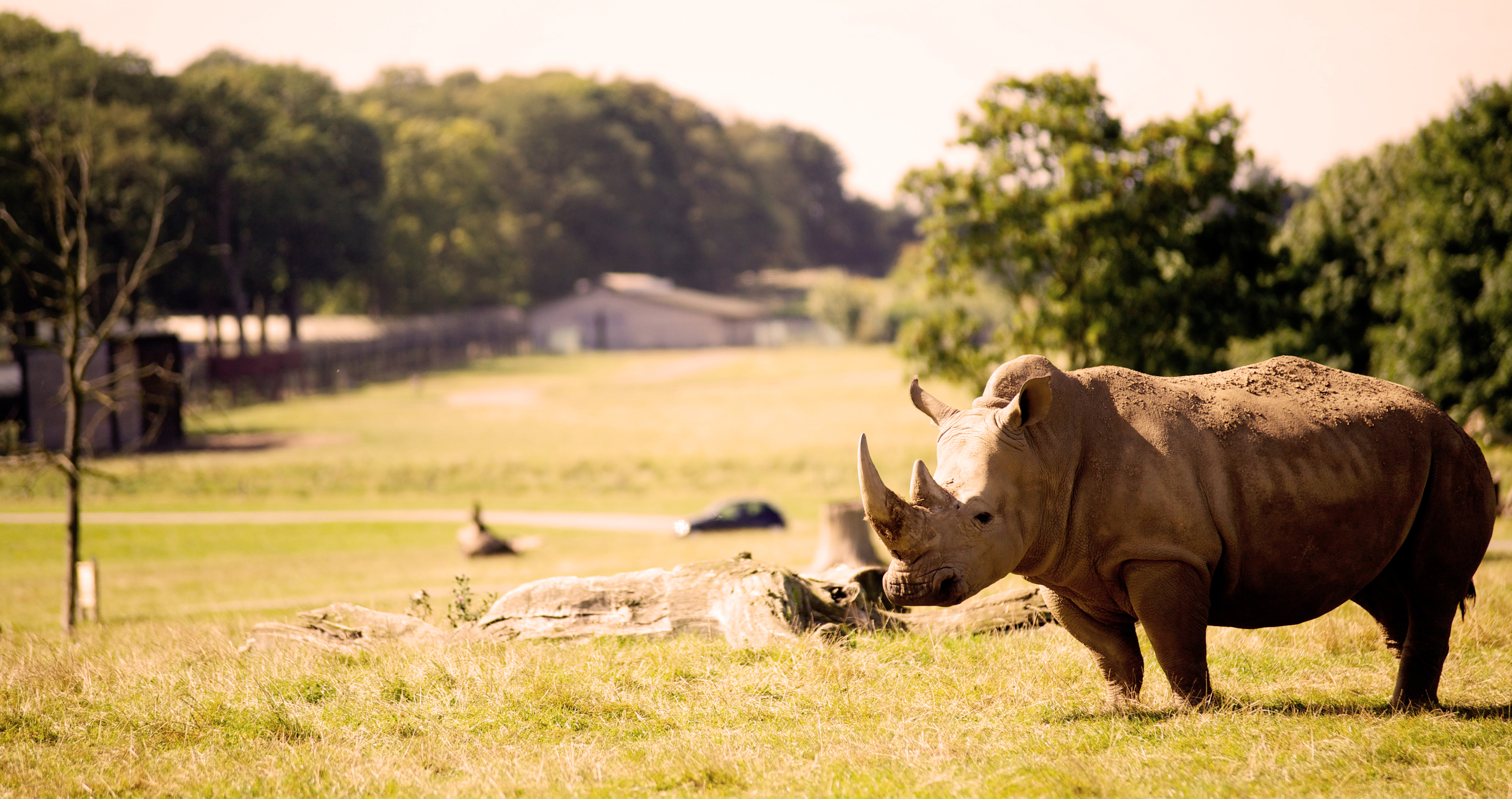
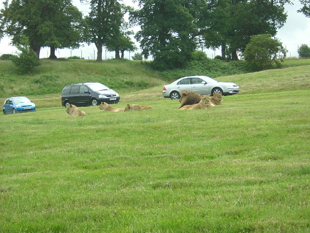
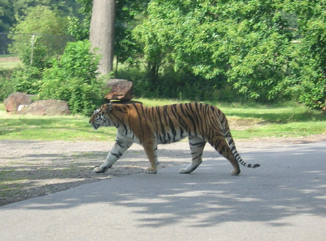
Woburn Safari Park
Woburn Safari Park is a safari park located in Woburn, Bedfordshire, England. Visitors to the park can drive through exhibits, which contain species such...

Ridgmont
Ridgmont is a small village and civil parish in Bedfordshire, England. It is located beside junction 13 of the M1 motorway, and close to Milton Keynes...
Nearby Amenities
Located within 500m of 51.999767,-0.570248Have you been to Higher Berry End?
Leave your review of Higher Berry End below (or comments, questions and feedback).