Piccard's Rough

Wood, Forest in Surrey Guildford

England

Piccard's Rough

The British Pullman at Shalford Bulleid Pacific No. 35028 'Clan Line' enters Shalford Station with the 'British Pullman' dining train on its circular trip through the Surrey hills.  The train is due to stop here to replenish its tender from a fire engine in the station yard.  The fire engine is operated by a company that organises water refills for steam locomotives at planned stopping places in their itinerary, now that no facilities exist at stations any more.
The British Pullman at Shalford Credit: Bob Walters

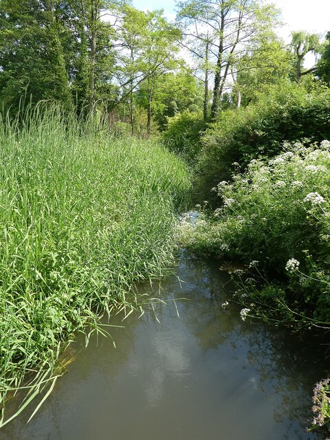
Piccard's Rough is a woodland area located in Surrey, England. Situated in the heart of the county, this forested region spans a vast expanse, covering several square kilometers. The area is renowned for its exceptional natural beauty and diverse ecosystem.

The woodland is characterized by a mix of deciduous and coniferous trees, creating a visually stunning landscape all year round. Towering oak, beech, and ash trees dominate the forest, providing a lush canopy that offers shade during the summer months. The forest floor is covered in a thick carpet of moss, ferns, and wildflowers, adding to the enchanting ambiance of the surroundings.

Piccard's Rough is also home to a wide variety of wildlife, making it a popular spot for nature enthusiasts and birdwatchers. The forest provides a habitat for numerous species, including deer, squirrels, foxes, and a diverse array of bird species. It is not uncommon to spot woodpeckers, owls, and various songbirds flitting through the trees.

The forest is crisscrossed by several well-maintained trails, allowing visitors to explore the area on foot or by bicycle. These paths wind their way through the dense forest, offering picturesque views and opportunities to immerse oneself in the tranquility of nature. Whether it's a leisurely stroll or an adventurous hike, visitors can experience the beauty and serenity that Piccard's Rough has to offer.

Overall, Piccard's Rough is a captivating woodland area that showcases the natural splendor of Surrey. Its lush greenery, diverse wildlife, and well-kept trails make it a must-visit destination for nature lovers and those seeking a peaceful retreat within the heart of England.

If you have any feedback on the listing, please let us know in the comments section below.

Piccard's Rough Images

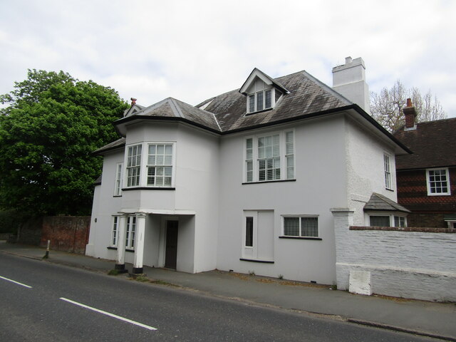
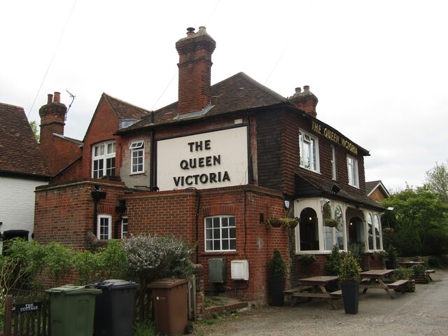
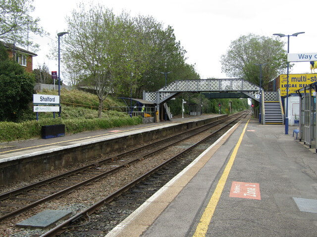
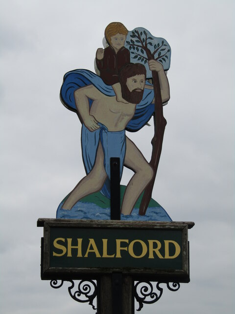
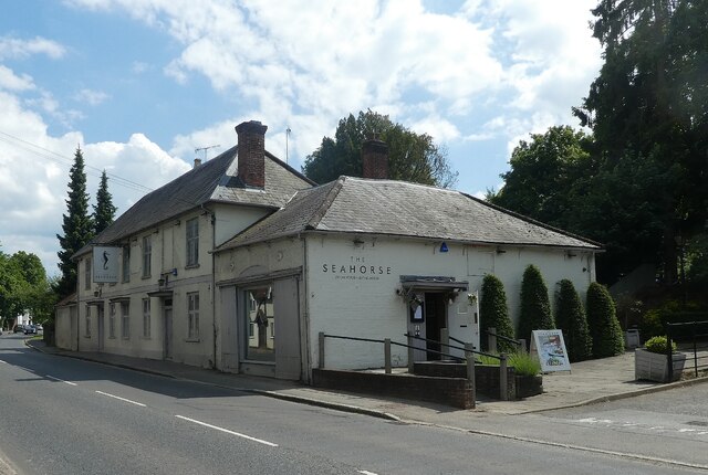
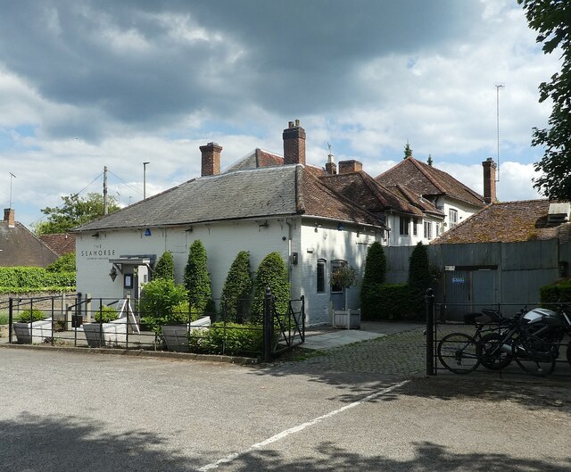
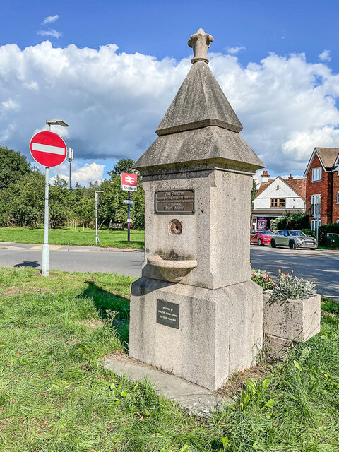
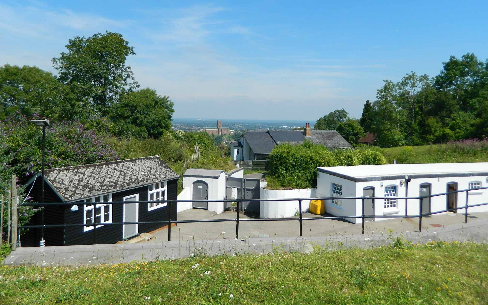
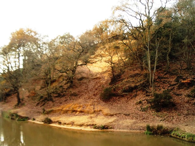
Images are sourced within 2km of 51.223165/-0.59161866 or Grid Reference SU9848. Thanks to Geograph Open Source API. All images are credited.

The British Pullman at Shalford Bulleid Pacific No. 35028 'Clan Line' enters Shalford Station with the 'British Pullman' dining train on its circular trip through the Surrey hills.  The train is due to stop here to replenish its tender from a fire engine in the station yard.  The fire engine is operated by a company that organises water refills for steam locomotives at planned stopping places in their itinerary, now that no facilities exist at stations any more.
The British Pullman at Shalford
Bulleid Pacific No. 35028 'Clan Line' enters Shalford Station with the 'British Pullman' dining train on its circular trip through the Surrey hills. The train is due to stop here to replenish its tender from a fire engine in the station yard. The fire engine is operated by a company that organises water refills for steam locomotives at planned stopping places in their itinerary, now that no facilities exist at stations any more.
Shalford Mill Historic (18C) water mill on the Tillingbourne at Shalford village. It is owned by the National Trust and undergoing conservation work (2022).
Shalford Mill
Historic (18C) water mill on the Tillingbourne at Shalford village. It is owned by the National Trust and undergoing conservation work (2022).
Shalford - Historic Cottage Timber-framed old building on The Street opposite The Seahorse inn.
Shalford - Historic Cottage
Timber-framed old building on The Street opposite The Seahorse inn.
Shalford - The Seahorse Village pub dating from late 17th century, sited on The Street, close to the parish church.
<span class="nowrap"><a title="www.theseahorseguildford.co.uk" rel="nofollow ugc noopener" href="http://www.theseahorseguildford.co.uk">Link</a><img style="margin-left:2px;" alt="External link" title="External link - shift click to open in new window" src="https://s1.geograph.org.uk/img/external.png" width="10" height="10"/></span>
Shalford - The Seahorse
Village pub dating from late 17th century, sited on The Street, close to the parish church. LinkExternal link
Shalford - Old Toll House Historic building on the Guildford-Horsham road with a jettied first floor room which is above the pavement.
Shalford - Old Toll House
Historic building on the Guildford-Horsham road with a jettied first floor room which is above the pavement.
Shalford - The Queen Victoria A popular village pub beside Shalford Railway Station.
Shalford - The Queen Victoria
A popular village pub beside Shalford Railway Station.
Shalford - Railway Station On the North Downs Line, Shalford Station caters for trains to Guildford and Reading in one direction, plus to Redhill and Gatwick Airport the other way.
Shalford - Railway Station
On the North Downs Line, Shalford Station caters for trains to Guildford and Reading in one direction, plus to Redhill and Gatwick Airport the other way.
Shalford - Village Sign Pictorial sign showing St Christopher carrying the Christ Child through a shallow ford (hence Shalford).
Shalford - Village Sign
Pictorial sign showing St Christopher carrying the Christ Child through a shallow ford (hence Shalford).
Shalford Mill - Tilling Bourne Tilling Bourne is a tributary of the River Wey which flows past the village of Shalford and provides the water to power Shalford Mill.
Shalford Mill - Tilling Bourne
Tilling Bourne is a tributary of the River Wey which flows past the village of Shalford and provides the water to power Shalford Mill.
Shalford Mill - Eastern façade This is the view of the mill that greets you as you walk towards it from 'The Street' (which is the A281).
Shalford Mill - Eastern façade
This is the view of the mill that greets you as you walk towards it from 'The Street' (which is the A281).
Shalford Mill - Entrance This is a view of the main entrance  into Shalford Mill (which was closed when we visited). <a href="https://www.geograph.org.uk/photo/7193579">TQ0047 : Shalford Mill - Tilling Bourne</a> feeds the mill with water which flows under the building from left to right as viewed here.
Shalford Mill - Entrance
This is a view of the main entrance into Shalford Mill (which was closed when we visited). TQ0047 : Shalford Mill - Tilling Bourne feeds the mill with water which flows under the building from left to right as viewed here.
Shalford Mill - Side channel of Tilling Bourne Tilling Bourne (see <a href="https://www.geograph.org.uk/photo/7193579">TQ0047 : Shalford Mill - Tilling Bourne</a>) has a secondary, lesser channel immediately to the south of <a href="https://www.geograph.org.uk/photo/7193582">TQ0047 : Shalford Mill - Eastern façade</a>.
Shalford Mill - Side channel of Tilling Bourne
Tilling Bourne (see TQ0047 : Shalford Mill - Tilling Bourne) has a secondary, lesser channel immediately to the south of TQ0047 : Shalford Mill - Eastern façade.
Shalford - The Seahorse PH - road frontage The Seahorse pub & restaurant in the village of Shalford is directly on the A281 through the village, where it is called 'The Street'.
Their own website: <span class="nowrap"><a title="https://www.theseahorseguildford.co.uk" rel="nofollow ugc noopener" href="https://www.theseahorseguildford.co.uk">Link</a><img style="margin-left:2px;" alt="External link" title="External link - shift click to open in new window" src="https://s1.geograph.org.uk/img/external.png" width="10" height="10"/></span>
The building dates back to the C17th and is EH Grade II listed: <span class="nowrap"><a title="https://historicengland.org.uk/listing/the-list/list-entry/1189247?section=official-list-entry" rel="nofollow ugc noopener" href="https://historicengland.org.uk/listing/the-list/list-entry/1189247?section=official-list-entry">Link</a><img style="margin-left:2px;" alt="External link" title="External link - shift click to open in new window" src="https://s1.geograph.org.uk/img/external.png" width="10" height="10"/></span>
Shalford - The Seahorse PH - road frontage
The Seahorse pub & restaurant in the village of Shalford is directly on the A281 through the village, where it is called 'The Street'. Their own website: LinkExternal link The building dates back to the C17th and is EH Grade II listed: LinkExternal link
Shalford - The Seahorse PH - side view Looking at <a href="https://www.geograph.org.uk/photo/7193603">TQ0047 : Shalford - The Seahorse PH - road frontage</a> from its carpark. See linked photo for more information.
Shalford - The Seahorse PH - side view
Looking at TQ0047 : Shalford - The Seahorse PH - road frontage from its carpark. See linked photo for more information.
Diamond Jubilee water fountain Water fountain alongside Horsham Road in Shalford by its junction with Kings Road.  For a wider view, see <a href="https://www.geograph.org.uk/photo/7300831">TQ0047 : Horsham Road</a>.  The fountain was erected to commemorate the Diamond Jubilee of Queen Victoria in 1897.  For a close up of the plaque on the front, which reads "This Fountain erected by the people of Shalford commemorates the completion of the sixtieth year of the reign of Queen Victoria",  see <a href="https://www.geograph.org.uk/photo/3094198">TQ0047 : Plaque on Queen Victoria Diamond Jubilee commemorative fountain,  Horsham Road, Shalford</a>.  The lower plaque reads "Restored by Salford Parish Council Centenary Year 1995" (presumably the centenary was of the council not the fountain).
Diamond Jubilee water fountain
Water fountain alongside Horsham Road in Shalford by its junction with Kings Road. For a wider view, see TQ0047 : Horsham Road. The fountain was erected to commemorate the Diamond Jubilee of Queen Victoria in 1897. For a close up of the plaque on the front, which reads "This Fountain erected by the people of Shalford commemorates the completion of the sixtieth year of the reign of Queen Victoria", see TQ0047 : Plaque on Queen Victoria Diamond Jubilee commemorative fountain, Horsham Road, Shalford. The lower plaque reads "Restored by Salford Parish Council Centenary Year 1995" (presumably the centenary was of the council not the fountain).
Horsham Road Horsham Road by its junction with Kings Road, with the bridge over the North Downs Line in the background.  On the right is the Diamond Jubilee water fountain commemorating the Diamond Jubilee of Queen Victoria in 1897 (see <a href="https://www.geograph.org.uk/photo/7300828">TQ0047 : Diamond Jubilee water fountain</a> for a close up).
Horsham Road
Horsham Road by its junction with Kings Road, with the bridge over the North Downs Line in the background. On the right is the Diamond Jubilee water fountain commemorating the Diamond Jubilee of Queen Victoria in 1897 (see TQ0047 : Diamond Jubilee water fountain for a close up).
Shalford - Chantries View uphill and over a grassy field towards Chantries, a wooded ridge popular with local walkers.
<span class="nowrap"><a title="www.guildford.gov.uk" rel="nofollow ugc noopener" href="http://www.guildford.gov.uk">Link</a><img style="margin-left:2px;" alt="External link" title="External link - shift click to open in new window" src="https://s1.geograph.org.uk/img/external.png" width="10" height="10"/></span>
Shalford - Chantries
View uphill and over a grassy field towards Chantries, a wooded ridge popular with local walkers. LinkExternal link
Shalford - Rural-Urban Fringe Shalford is a mainly dormitory and residential village connected to Guildford by ribbon development along the Guildford-Horsham Road.
<span class="nowrap"><a title="www.guildford.gov.uk" rel="nofollow ugc noopener" href="http://www.guildford.gov.uk">Link</a><img style="margin-left:2px;" alt="External link" title="External link - shift click to open in new window" src="https://s1.geograph.org.uk/img/external.png" width="10" height="10"/></span>
Shalford - Rural-Urban Fringe
Shalford is a mainly dormitory and residential village connected to Guildford by ribbon development along the Guildford-Horsham Road. LinkExternal link
Show me another place!

Piccard's Rough is located at Grid Ref: SU9848 (Lat: 51.223165, Lng: -0.59161866)

Administrative County: Surrey

District: Guildford

Police Authority: Surrey

What 3 Words

///salsa.salon.poster. Near Guildford, Surrey

Related Wikis

Artington

Artington is a village and civil parish in the borough of Guildford, Surrey, England. It covers the area from the southern edge of the built-up centre...

Henley Fort

Henley Fort is a Victorian fort near Guildford, Surrey, at the eastern end of the 'Hog's Back' ridge. == History == Henley Fort was built as a mobilisation...

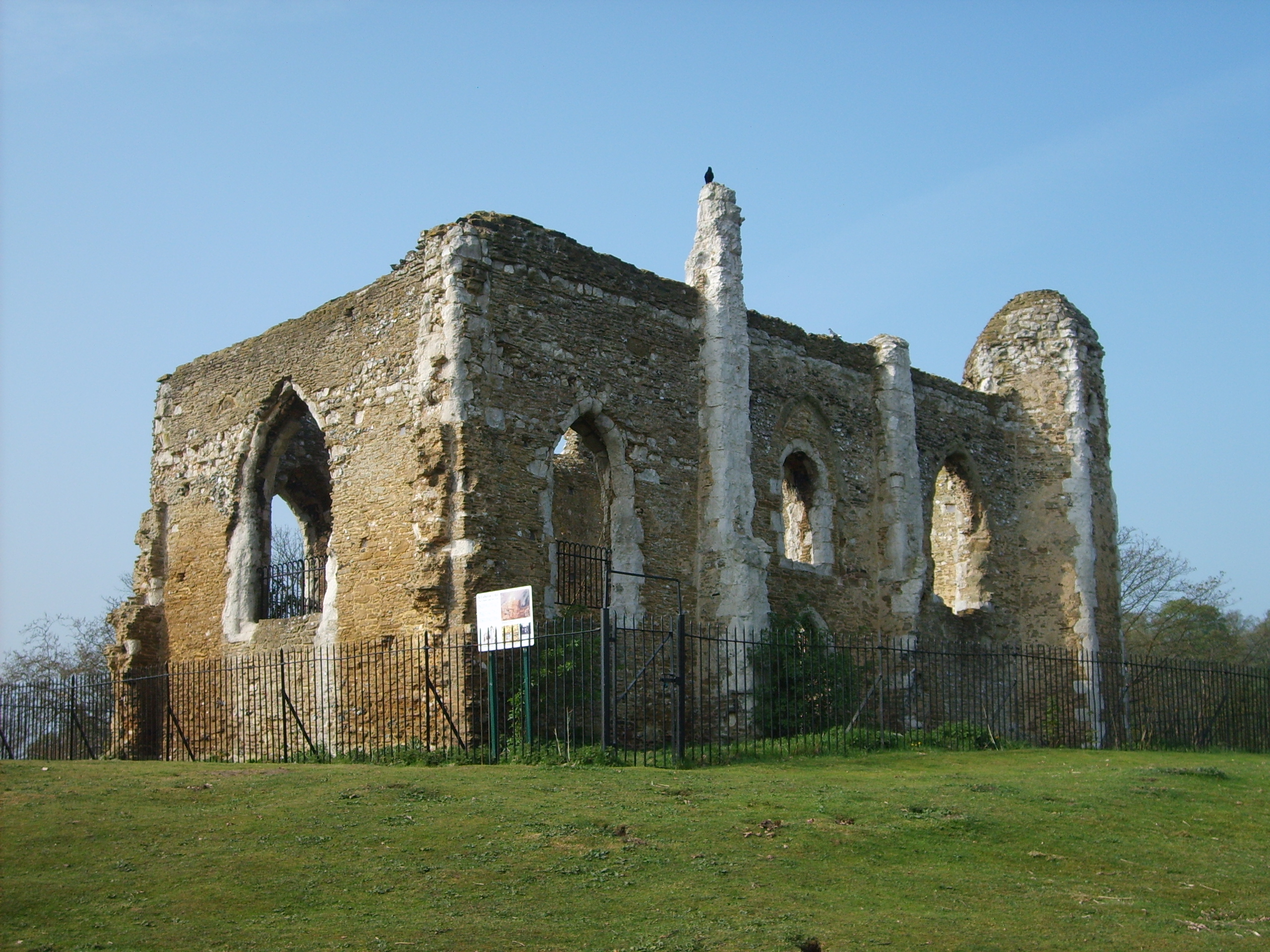
St Catherine's Hill, Surrey

St Catherine's Hill is a hill south of Guildford in Surrey, England, with a ruined chapel on its top. The hill is about half a mile south of Guildford...

Mount Cemetery

Mount Cemetery, also known as Guildford Cemetery, is a cemetery in Guildford, Surrey, England. It is the location of Booker's Tower. Guildford Cemetery...

Nearby Amenities

Located within 500m of 51.223165,-0.59161866
Orange Grove
Building: yes
Source: npe
Lat/Long: 51.2189025/-0.5926837
Bench
Backrest: no
Lat/Long: 51.2225262/-0.5981094
Barrier: bollard
Bollard: fixed
Lat/Long: 51.222207/-0.5979778
Barrier: stile
Material: wood
Stile: stepover
Lat/Long: 51.2225911/-0.598203
Post Box
Operator: Royal Mail
Post Box Type: lamp
Ref: GU3 269
Royal Cypher: EIIR
Royal Cypher Wikidata: Q33102113
Lat/Long: 51.223882/-0.5870312
Generator Method: photovoltaic
Generator Output Electricity: yes
Generator Source: solar
Generator Type: solar_photovoltaic_panel
Location: roof
Power: generator
Lat/Long: 51.2268186/-0.5880154
Bench
Backrest: no
Material: wood
Lat/Long: 51.2196676/-0.5898775
Crossing
Crossing: uncontrolled
Crossing Markings: yes
Lat/Long: 51.223038/-0.5858076
The data included in this document is from www.openstreetmap.org. The data is made available under ODbL.

Have you been to Piccard's Rough?

Leave your review of Piccard's Rough below (or comments, questions and feedback).