Acre Spinney

Wood, Forest in Bedfordshire

England

Acre Spinney

Pastures Farm Looking up the hill to Pastures Farm, near Stagsden.
Pastures Farm Credit: Richard Schmidt

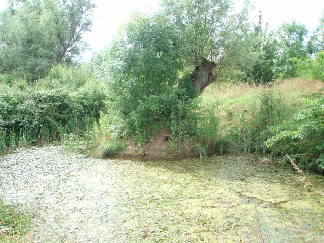
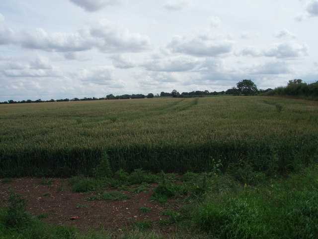
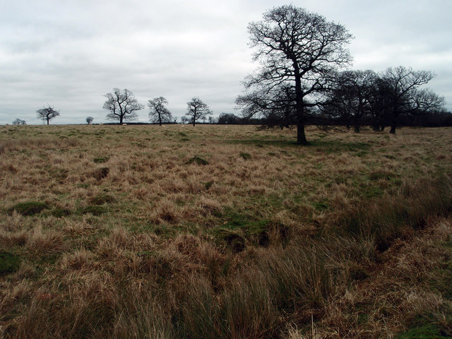
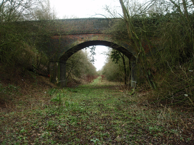
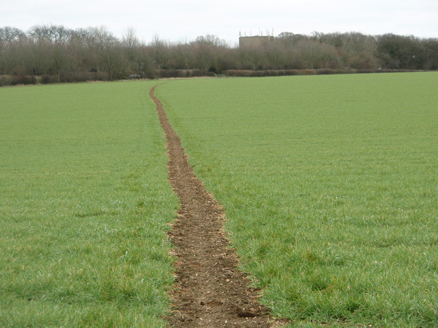
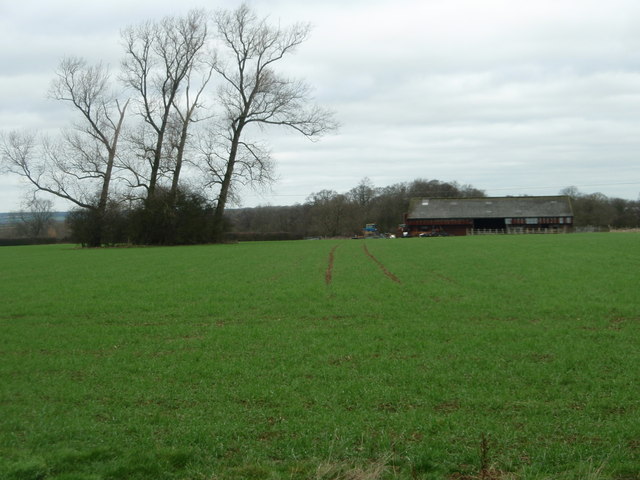
Acre Spinney, located in Bedfordshire, is a picturesque wood that stretches across an area of approximately 50 acres. This enchanting forest is home to a diverse range of trees, including oak, birch, beech, and ash, creating a stunning display of colors throughout the seasons. The Spinney is nestled in a rural setting, surrounded by open fields and meadows, providing a peaceful and tranquil atmosphere for visitors.

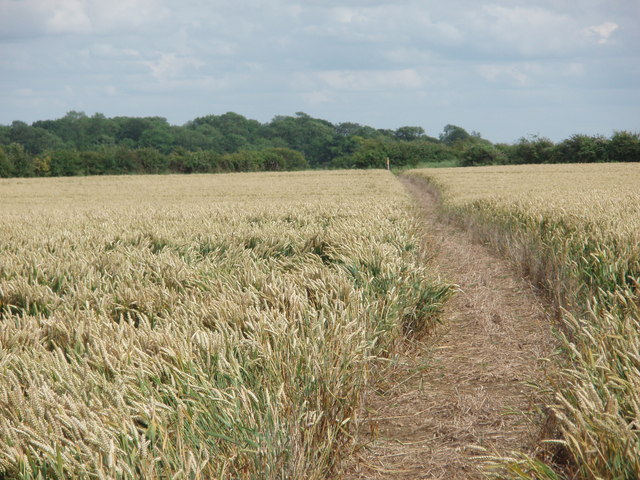
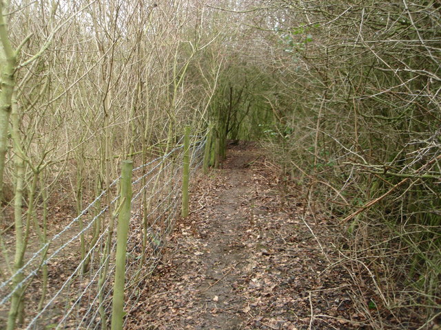
The wood features well-maintained paths and trails, making it easily accessible for walkers, hikers, and nature enthusiasts. These paths wind through the dense undergrowth, allowing visitors to explore the beauty of the forest at their own pace. Acre Spinney is also a popular destination for birdwatchers, as it attracts a wide variety of bird species, including woodpeckers, nuthatches, and various songbirds.

The wood is managed by a local conservation group, ensuring the preservation and protection of its natural habitat. The conservation efforts have resulted in the thriving of various wildlife, such as deer, foxes, and rabbits, adding to the biodiversity of the Spinney.

Throughout the year, Acre Spinney hosts a range of events and activities, including guided walks, nature workshops, and educational programs for schools. These initiatives aim to raise awareness about the importance of woodland conservation and provide opportunities for people of all ages to connect with nature.

A visit to Acre Spinney offers a chance to escape the hustle and bustle of daily life and immerse oneself in the serenity of a beautiful woodland setting. Whether it's a leisurely stroll, birdwatching, or simply enjoying the natural surroundings, Acre Spinney provides a delightful experience for all who venture into its depths.

If you have any feedback on the listing, please let us know in the comments section below.
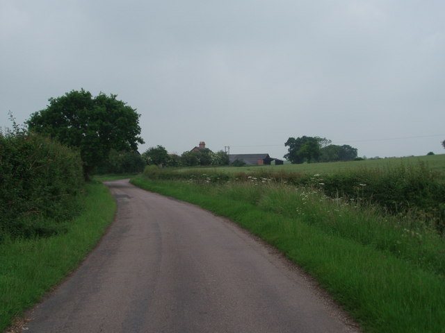
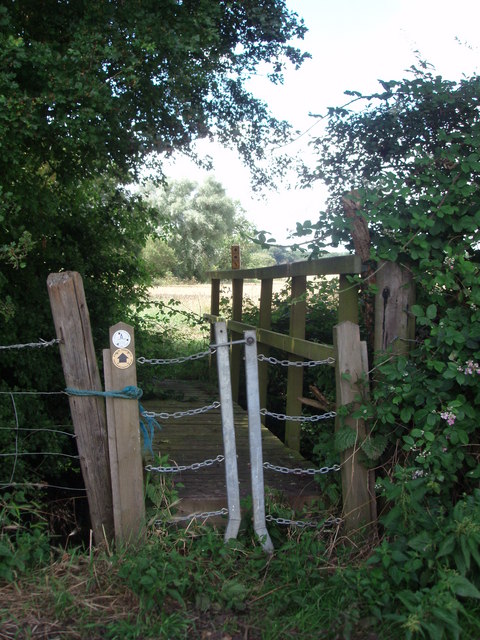
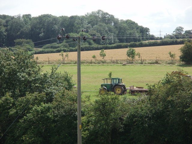
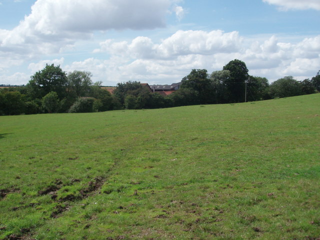
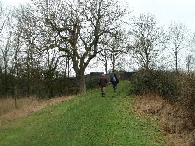
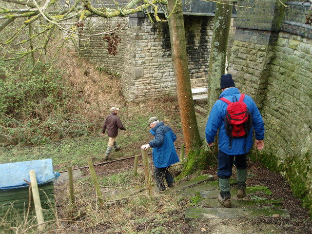
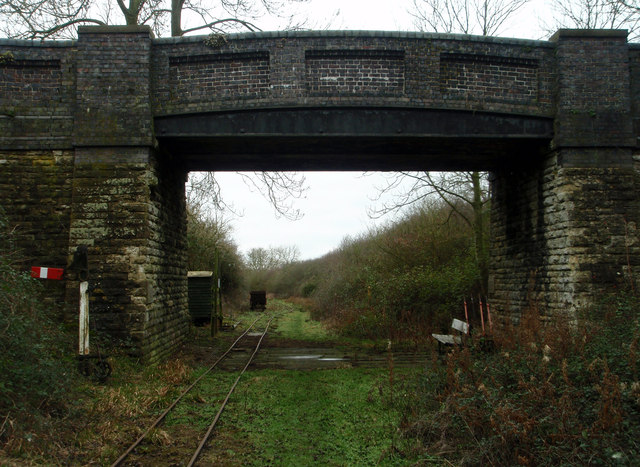
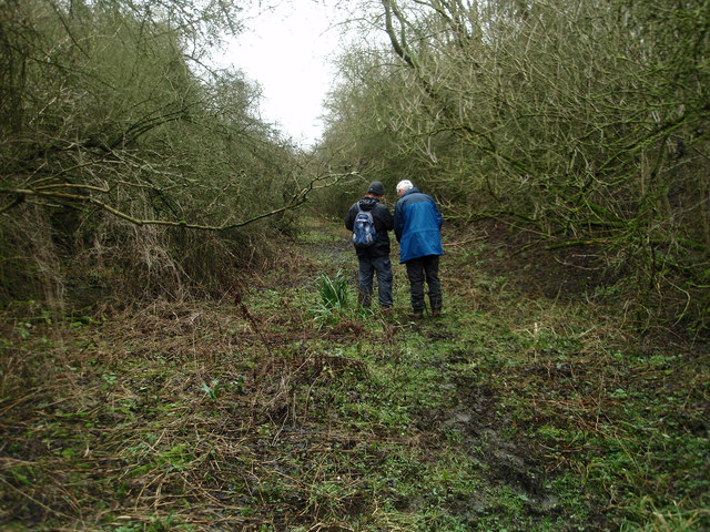
Acre Spinney Images

Images are sourced within 2km of 52.145537/-0.58798885 or Grid Reference SP9650. Thanks to Geograph Open Source API. All images are credited.

Pastures Farm Looking up the hill to Pastures Farm, near Stagsden.
Pastures Farm
Looking up the hill to Pastures Farm, near Stagsden.
An unusual stile An unusual style of stile, giving access to a footbridge over a gully.
An unusual stile
An unusual style of stile, giving access to a footbridge over a gully.
Tractor parked in a field
North End Farm buildings behind the hedgerow at North End Stagsden.
North End
Farm buildings behind the hedgerow at North End Stagsden.
Stagnant Pond
Stagnant Pond
Wheat Field
Wheat Field
Footpath through the wheat field
Autumn layby Layby on A428 (Northampton Road) looking west towards the junction with the lanes that lead off north towards Stevington and south towards Stagsden.
Autumn layby
Layby on A428 (Northampton Road) looking west towards the junction with the lanes that lead off north towards Stevington and south towards Stagsden.
Old pasture land Large ant hills suggest that this field has not been under the plough for many years if at all. Usually described as rough grazing.
Old pasture land
Large ant hills suggest that this field has not been under the plough for many years if at all. Usually described as rough grazing.
Heading towards an old railway bridge On the bridleway that crosses the disused railway line.
Heading towards an old railway bridge
On the bridleway that crosses the disused railway line.
Descending on to the old railway track bed A footpath runs along the former railway line but you need to descend with care from the bridleway.
Descending on to the old railway track bed
A footpath runs along the former railway line but you need to descend with care from the bridleway.
Bridge over the old railway The bridge appears to have been built for farm access over the railway cutting. The track is for a light industrial railway collection.
Bridge over the old railway
The bridge appears to have been built for farm access over the railway cutting. The track is for a light industrial railway collection.
Former Northampton - Bedford railway line Walking along the footpath that follows the former railway line. A <span class="nowrap"><a title="http://turvey.homestead.com/railways.html" rel="nofollow ugc noopener" href="http://turvey.homestead.com/railways.html">Link</a><img style="margin-left:2px;" alt="External link" title="External link - shift click to open in new window" src="https://s1.geograph.org.uk/img/external.png" width="10" height="10"/></span> detailing some history of the railway near Turvey.
Former Northampton - Bedford railway line
Walking along the footpath that follows the former railway line. A LinkExternal link detailing some history of the railway near Turvey.
Farm and field access bridge over the old Bedford - Northampton railway line The footpath ends this side of the bridge and is very tricky to ascend out of the cutting.
Farm and field access bridge over the old Bedford - Northampton railway line
The footpath ends this side of the bridge and is very tricky to ascend out of the cutting.
Footpath near the railway line at Turvey Despite appearing to be overgrown work is going on to open out the footpath.
Footpath near the railway line at Turvey
Despite appearing to be overgrown work is going on to open out the footpath.
Footpath through the winter barley crop The distant building is a water tower by the A428
Footpath through the winter barley crop
The distant building is a water tower by the A428
Looking over to Gorse Farm
Former railway yard and grain store Not much to see now but a couple of useful "links" showing the previous usage of this site. The first <a href="https://www.geograph.org.uk/photo/1202355">SP9551 : Disused grain silos near Elderswell Farm</a> shows a distant view of the former Quenby Price/ Cargill grain silo and the second <span class="nowrap"><a title="http://www.derelictplaces.co.uk/main/showthread.php?t=16390" rel="nofollow ugc noopener" href="http://www.derelictplaces.co.uk/main/showthread.php?t=16390">Link</a><img style="margin-left:2px;" alt="External link" title="External link - shift click to open in new window" src="https://s1.geograph.org.uk/img/external.png" width="10" height="10"/></span> is self explanatory.
Former railway yard and grain store
Not much to see now but a couple of useful "links" showing the previous usage of this site. The first SP9551 : Disused grain silos near Elderswell Farm shows a distant view of the former Quenby Price/ Cargill grain silo and the second LinkExternal link is self explanatory.
Show me another place!

Acre Spinney is located at Grid Ref: SP9650 (Lat: 52.145537, Lng: -0.58798885)

Unitary Authority: Bedford

Police Authority: Bedfordshire

What 3 Words

///resembles.evaporate.convinces. Near Stagsden, Bedfordshire

Nearby Locations

Acre Spinney How Spinney

Related Wikis

Turvey railway station

Turvey was a railway station on the Bedford to Northampton Line which served the village of Turvey from 1872 to 1962. == History == Opened by the Bedford...

Church of St Leonard, Stagsden

Church of St Leonard is a Grade I listed church in Stagsden, Bedfordshire, England. It became a listed building on 13 July 1964. == See also == Grade...

Stagsden

Stagsden is a small but historic village and civil parish located in the Borough of Bedford, northwest Bedfordshire, England, near the Buckinghamshire...

West End, Bedfordshire

West End is a hamlet located in the Borough of Bedford in Bedfordshire, England. The settlement is close to Carlton, Pavenham and Stevington. West End...

Nearby Amenities

Located within 500m of 52.145537,-0.58798885
The data included in this document is from www.openstreetmap.org. The data is made available under ODbL.

Have you been to Acre Spinney?

Leave your review of Acre Spinney below (or comments, questions and feedback).