How Spinney

Wood, Forest in Bedfordshire

England

How Spinney

Hill Farm Looking across the A422 to Hill Farm
Hill Farm Credit: Richard Schmidt

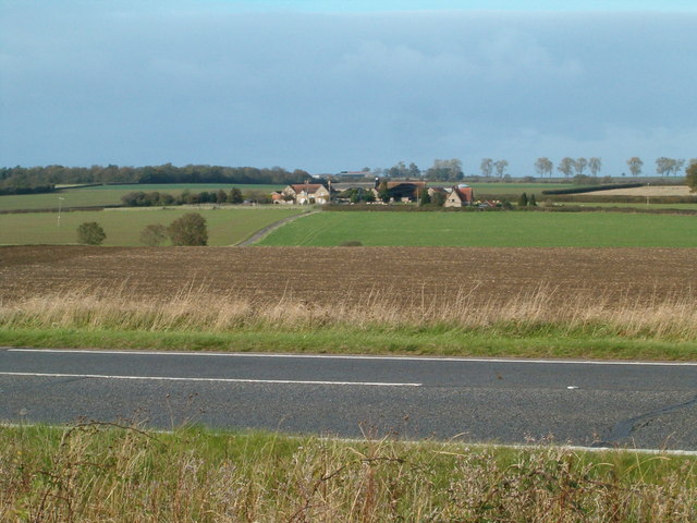
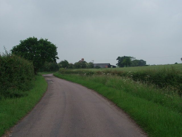
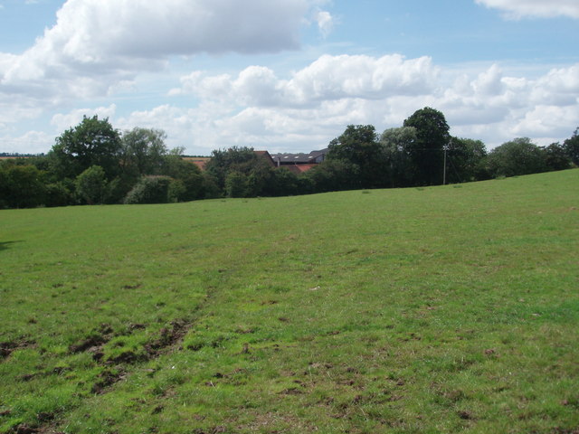
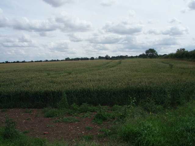
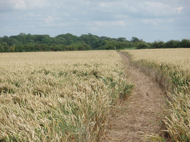
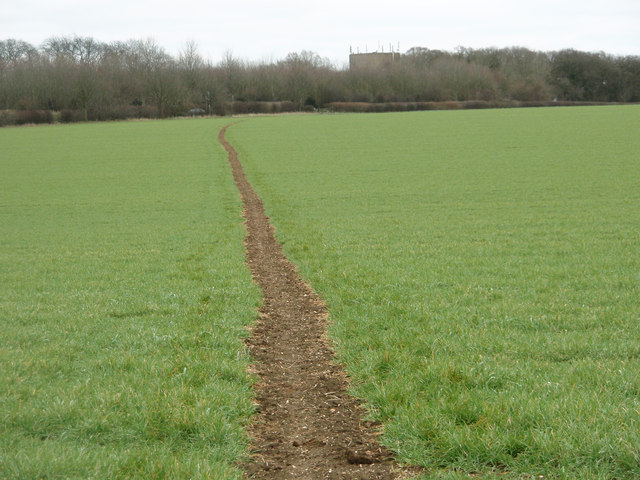
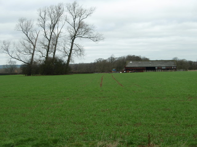
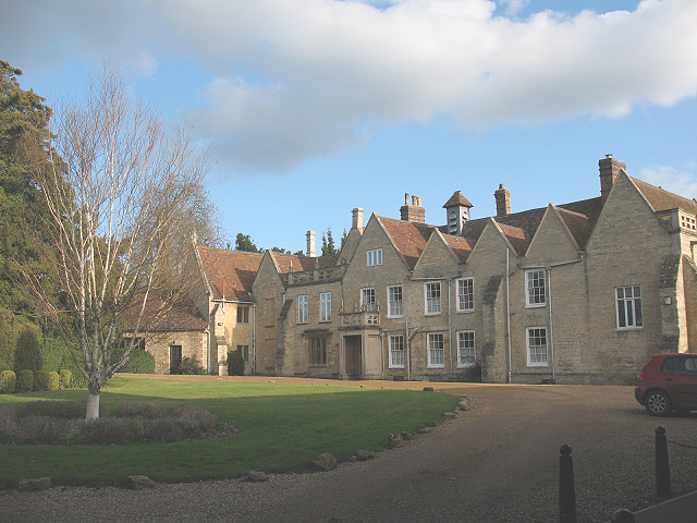
Spinney is a small village located in the county of Bedfordshire, England. Situated in the eastern part of the county, Spinney is known for its beautiful woodland and forest areas, which give the village its distinctive character. The village is surrounded by lush greenery and offers a tranquil and picturesque setting for residents and visitors alike.

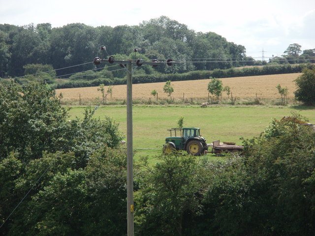
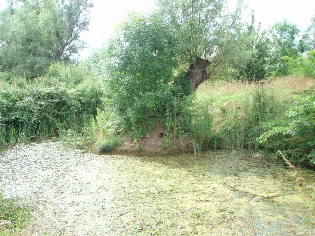
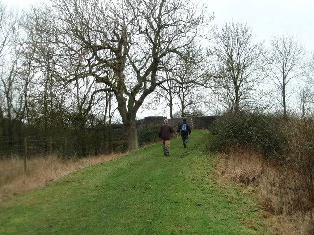
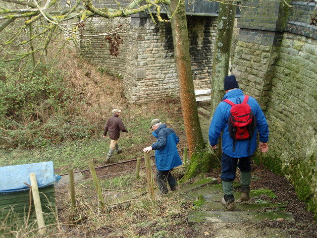
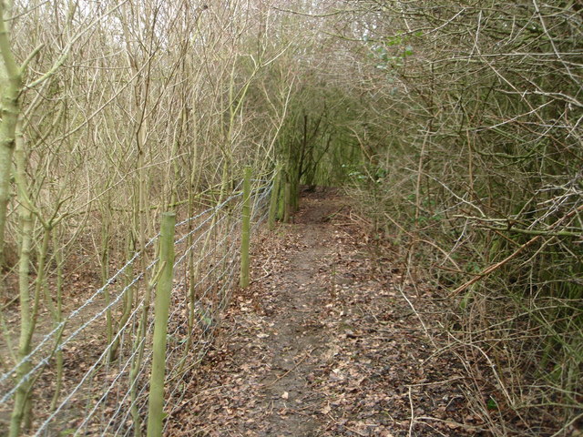
The woodland in Spinney is rich in biodiversity, with a variety of tree species such as oak, beech, and birch. The forest is home to a diverse range of wildlife, including deer, foxes, and various species of birds. It provides an ideal habitat for nature enthusiasts and offers opportunities for activities such as birdwatching and hiking.

Spinney is a close-knit community with a small population. The village consists of a few residential properties, some of which are traditional cottages that add to the charm of the area. Despite its small size, Spinney benefits from basic amenities such as a local shop and a pub, offering convenience for its residents.

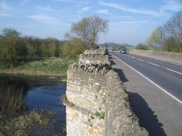
The village is well-connected to nearby towns and cities, with good road networks providing easy access to neighboring areas. It is also within a reasonable distance of larger towns like Bedford and Milton Keynes, which offer a wider range of services and amenities.

Overall, Spinney, Bedfordshire is a hidden gem for those seeking a peaceful and idyllic countryside experience. With its stunning woodland and welcoming community, it offers a unique and refreshing escape from the hustle and bustle of urban life.

If you have any feedback on the listing, please let us know in the comments section below.

How Spinney Images

Images are sourced within 2km of 52.14379/-0.590017 or Grid Reference SP9650. Thanks to Geograph Open Source API. All images are credited.

Hill Farm Looking across the A422 to Hill Farm
Hill Farm
Looking across the A422 to Hill Farm
Pastures Farm Looking up the hill to Pastures Farm, near Stagsden.
Pastures Farm
Looking up the hill to Pastures Farm, near Stagsden.
An unusual stile An unusual style of stile, giving access to a footbridge over a gully.
An unusual stile
An unusual style of stile, giving access to a footbridge over a gully.
Tractor parked in a field
North End Farm buildings behind the hedgerow at North End Stagsden.
North End
Farm buildings behind the hedgerow at North End Stagsden.
Stagnant Pond
Stagnant Pond
Wheat Field
Wheat Field
Footpath through the wheat field
Autumn layby Layby on A428 (Northampton Road) looking west towards the junction with the lanes that lead off north towards Stevington and south towards Stagsden.
Autumn layby
Layby on A428 (Northampton Road) looking west towards the junction with the lanes that lead off north towards Stevington and south towards Stagsden.
Heading towards an old railway bridge On the bridleway that crosses the disused railway line.
Heading towards an old railway bridge
On the bridleway that crosses the disused railway line.
Descending on to the old railway track bed A footpath runs along the former railway line but you need to descend with care from the bridleway.
Descending on to the old railway track bed
A footpath runs along the former railway line but you need to descend with care from the bridleway.
Bridge over the old railway The bridge appears to have been built for farm access over the railway cutting. The track is for a light industrial railway collection.
Bridge over the old railway
The bridge appears to have been built for farm access over the railway cutting. The track is for a light industrial railway collection.
Farm and field access bridge over the old Bedford - Northampton railway line The footpath ends this side of the bridge and is very tricky to ascend out of the cutting.
Farm and field access bridge over the old Bedford - Northampton railway line
The footpath ends this side of the bridge and is very tricky to ascend out of the cutting.
Footpath near the railway line at Turvey Despite appearing to be overgrown work is going on to open out the footpath.
Footpath near the railway line at Turvey
Despite appearing to be overgrown work is going on to open out the footpath.
Footpath through the winter barley crop The distant building is a water tower by the A428
Footpath through the winter barley crop
The distant building is a water tower by the A428
Looking over to Gorse Farm
Former railway yard and grain store Not much to see now but a couple of useful "links" showing the previous usage of this site. The first <a href="https://www.geograph.org.uk/photo/1202355">SP9551 : Disused grain silos near Elderswell Farm</a> shows a distant view of the former Quenby Price/ Cargill grain silo and the second <span class="nowrap"><a title="http://www.derelictplaces.co.uk/main/showthread.php?t=16390" rel="nofollow ugc noopener" href="http://www.derelictplaces.co.uk/main/showthread.php?t=16390">Link</a><img style="margin-left:2px;" alt="External link" title="External link - shift click to open in new window" src="https://s1.geograph.org.uk/img/external.png" width="10" height="10"/></span> is self explanatory.
Former railway yard and grain store
Not much to see now but a couple of useful "links" showing the previous usage of this site. The first SP9551 : Disused grain silos near Elderswell Farm shows a distant view of the former Quenby Price/ Cargill grain silo and the second LinkExternal link is self explanatory.
Church Lane, Stagsden
Show me another place!

How Spinney is located at Grid Ref: SP9650 (Lat: 52.14379, Lng: -0.590017)

Unitary Authority: Bedford

Police Authority: Bedfordshire

What 3 Words

///raven.with.clips. Near Stagsden, Bedfordshire

Nearby Locations

How Spinney Acre Spinney

Related Wikis

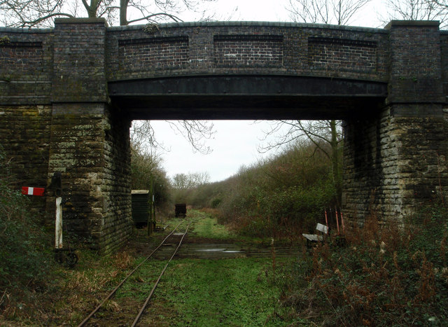
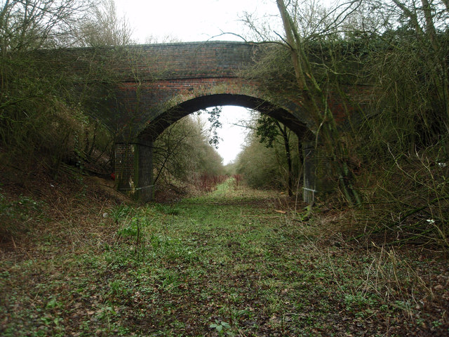
Turvey railway station

Turvey was a railway station on the Bedford to Northampton Line which served the village of Turvey from 1872 to 1962. == History == Opened by the Bedford...

Church of St Leonard, Stagsden

Church of St Leonard is a Grade I listed church in Stagsden, Bedfordshire, England. It became a listed building on 13 July 1964. == See also == Grade...

Stagsden

Stagsden is a small but historic village and civil parish located in the Borough of Bedford, northwest Bedfordshire, England, near the Buckinghamshire...

West End, Bedfordshire

West End is a hamlet located in the Borough of Bedford in Bedfordshire, England. The settlement is close to Carlton, Pavenham and Stevington. West End...

Turvey Abbey

Turvey Abbey is located in the village of Turvey in the English county of Bedfordshire. It is dated 1605 on the north facade and 1608 on the south facade...

A428 road

The A428 road is a major road in central and eastern England. It runs between the cities of Coventry and Cambridge by way of the county towns of Northampton...

Bedfordshire Golf Club

Bedfordshire Golf Club is a golf club to the east of Stagsden, Bedfordshire, England. Established in 1891, it is the oldest golf club in Bedfordshire....

Stevington and Turvey Light Railway

The Stevington and Turvey Light Railway was a 2 ft (610 mm) narrow gauge light railway on the outskirts of the village of Turvey in Bedfordshire, England...

Nearby Amenities

Located within 500m of 52.14379,-0.590017
The data included in this document is from www.openstreetmap.org. The data is made available under ODbL.

Have you been to How Spinney?

Leave your review of How Spinney below (or comments, questions and feedback).