Green Wood

Wood, Forest in Buckinghamshire

England

Green Wood

The entrance to Wilton Park, Beaconsfield Another huge housing development is under construction.
The entrance to Wilton Park, Beaconsfield Credit: David Howard

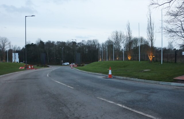
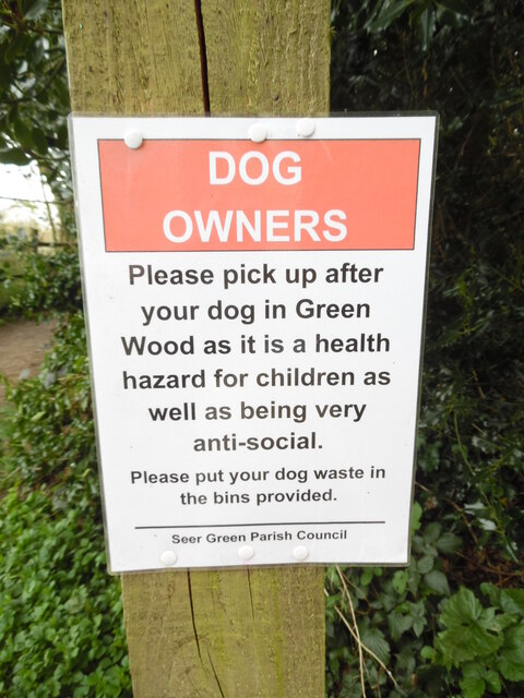
Green Wood is a picturesque forest located in the county of Buckinghamshire, England. Spanning over acres of lush greenery, it is a haven for nature enthusiasts and those seeking tranquility away from the hustle and bustle of urban life.

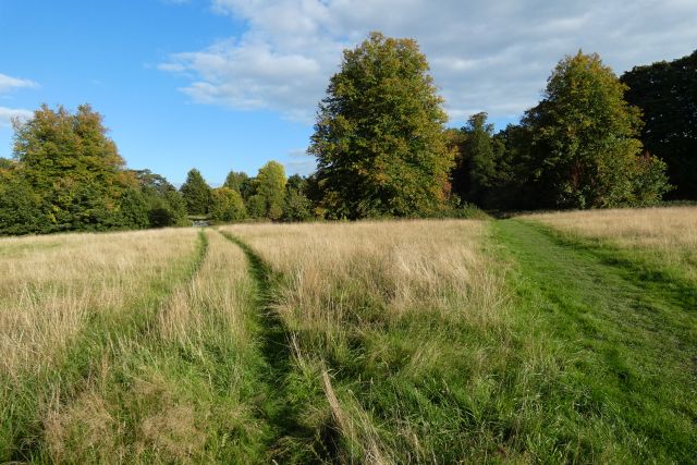
The forest is home to a diverse range of flora and fauna, boasting a rich biodiversity. Tall oak, beech, and birch trees dominate the landscape, casting a soothing shade on the forest floor. The forest is also adorned with vibrant wildflowers, adding bursts of color to the serene environment.

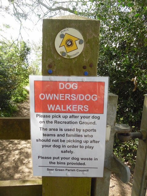
Green Wood is a popular destination for outdoor activities such as hiking, cycling, and birdwatching. The well-preserved trails wind through the forest, offering visitors the opportunity to explore its hidden treasures. Bird lovers can delight in spotting a variety of species, including woodpeckers, owls, and thrushes, making it a paradise for ornithologists.

For those interested in history, Green Wood has a fascinating past. Remnants of ancient settlements and burial mounds have been discovered within its boundaries, providing insights into the lives of early inhabitants. The forest also played a significant role during the medieval period, serving as a source of timber for construction and fuel.

Green Wood is easily accessible, with ample parking facilities and well-maintained paths. It offers visitors a chance to reconnect with nature, breathe in the fresh air, and marvel at the beauty of the English countryside. Whether it's a leisurely stroll or an adventurous hike, Green Wood promises an unforgettable experience for all who venture into its embrace.

If you have any feedback on the listing, please let us know in the comments section below.
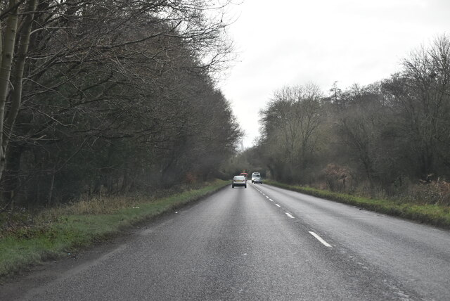
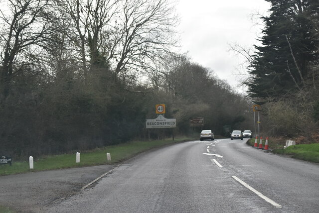
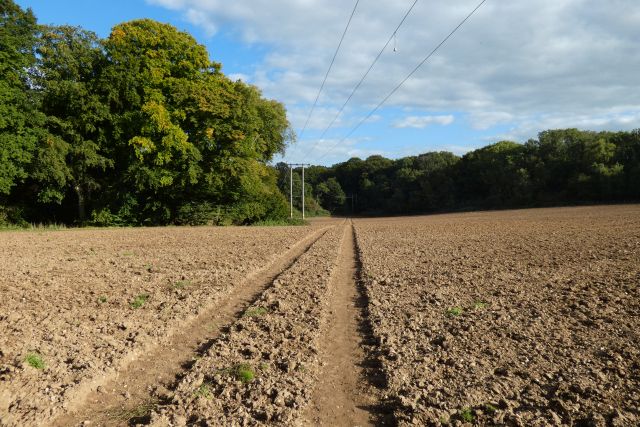
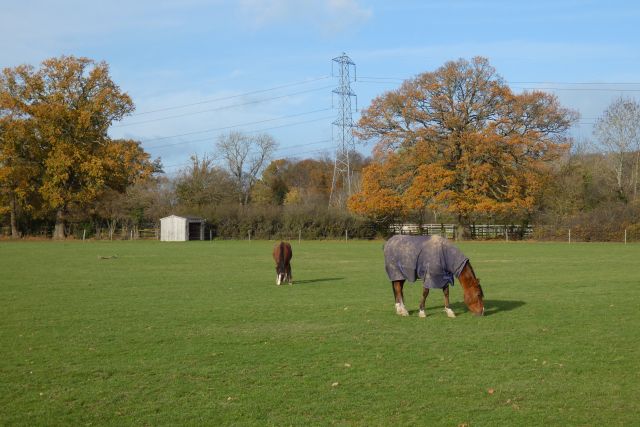
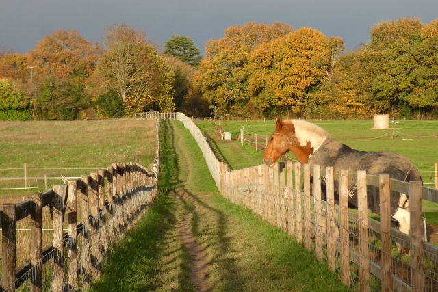
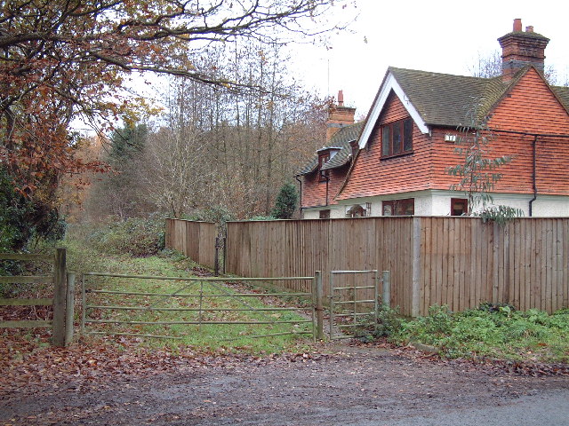
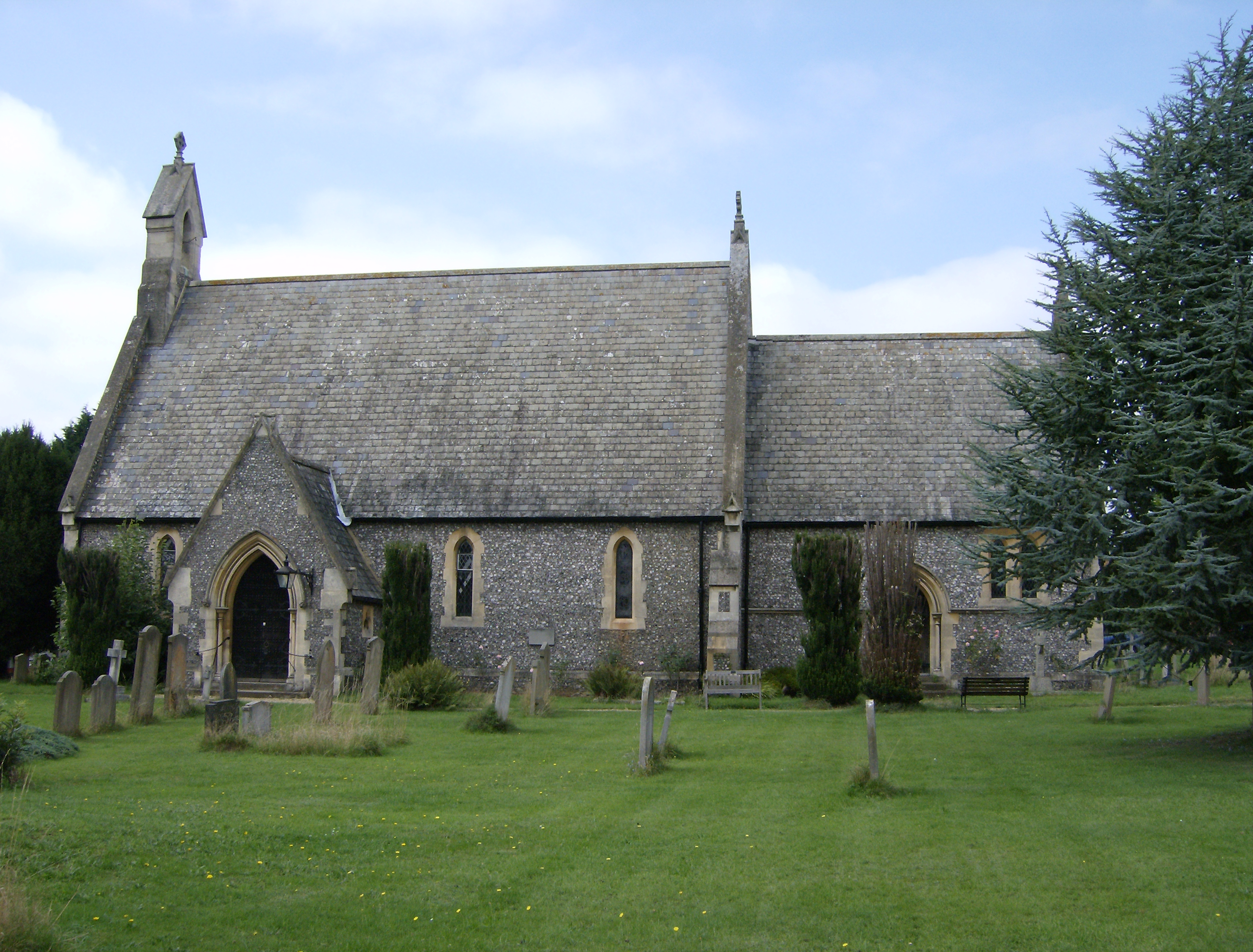
Green Wood Images

Images are sourced within 2km of 51.615442/-0.60452741 or Grid Reference SU9691. Thanks to Geograph Open Source API. All images are credited.

The entrance to Wilton Park, Beaconsfield Another huge housing development is under construction.
The entrance to Wilton Park, Beaconsfield
Another huge housing development is under construction.
Dog Notice near Recreation Ground, Seer Green This notice, which has been erected by Seer Green Parish Council, is on the footpath between Butlers Cross and Seer Green. It has the following wording:

                         DOG 
                      OWNERS/DOG
                       WALKERS

               Please pick up after your dog
                 on the Recreation Ground.

               The area is used by sports
                 teams and families who
               should not be picking up after
                 your dog in order to play
                         safely.
               
                Please put your dog waste in
                     the bins provided.

 A public footpath arrow marker can be seen above the notice.
Dog Notice near Recreation Ground, Seer Green
This notice, which has been erected by Seer Green Parish Council, is on the footpath between Butlers Cross and Seer Green. It has the following wording: DOG OWNERS/DOG WALKERS Please pick up after your dog on the Recreation Ground. The area is used by sports teams and families who should not be picking up after your dog in order to play safely. Please put your dog waste in the bins provided. A public footpath arrow marker can be seen above the notice.
Dog Owners Notice by Green Wood, Seer Green This notice, erected by Seer Green Parish Council, is by a track leading from Seer Green to Jordans. It has the following wording:

                               DOG
                              OWNERS

                      Please pick up after
                       your dog in Green
                      Wood as it is a health 
                      hazard for children as
                       well as being very
                         anti-social.

                   Please put your dog waste in
                       the bins provided.
Dog Owners Notice by Green Wood, Seer Green
This notice, erected by Seer Green Parish Council, is by a track leading from Seer Green to Jordans. It has the following wording: DOG OWNERS Please pick up after your dog in Green Wood as it is a health hazard for children as well as being very anti-social. Please put your dog waste in the bins provided.
Red K6 Telephone Box in Jordans village This telephone box is located by Jordans Village Store in Green West Road, HP9 2SY. Its payphone has now been taken out and an Audio History of Jordans Village installed instead. Details of Jordans village can be found at <span class="nowrap"><a title="https://www.jordansvillage.co.uk/index.html" rel="nofollow ugc noopener" href="https://www.jordansvillage.co.uk/index.html">Link</a><img style="margin-left:2px;" alt="External link" title="External link - shift click to open in new window" src="https://s1.geograph.org.uk/img/external.png" width="10" height="10"/></span>. Green North Road can just be seen to the right of the photo.
Red K6 Telephone Box in Jordans village
This telephone box is located by Jordans Village Store in Green West Road, HP9 2SY. Its payphone has now been taken out and an Audio History of Jordans Village installed instead. Details of Jordans village can be found at LinkExternal link. Green North Road can just be seen to the right of the photo.
Old Road Sign in Seer Green Lane, Jordans This photo shows the old road sign located in Seer Green Lane HP9 2ST and which is missing its red circle with inverted triangle above it. During the mid-1960s, this particular sign was replaced by the inverted triangle "Give Way" sign. This road leads to Jordans Lane in the distance.
Old Road Sign in Seer Green Lane, Jordans
This photo shows the old road sign located in Seer Green Lane HP9 2ST and which is missing its red circle with inverted triangle above it. During the mid-1960s, this particular sign was replaced by the inverted triangle "Give Way" sign. This road leads to Jordans Lane in the distance.
A355, White's Hill The A355 runs 13 miles from Eton to Amersham.
<span class="nowrap"><a title="http://www.sabre-roads.org.uk/wiki/index.php?title=A355" rel="nofollow ugc noopener" href="http://www.sabre-roads.org.uk/wiki/index.php?title=A355">Link</a><img style="margin-left:2px;" alt="External link" title="External link - shift click to open in new window" src="https://s1.geograph.org.uk/img/external.png" width="10" height="10"/></span>
A355, White's Hill
The A355 runs 13 miles from Eton to Amersham. LinkExternal link
Amersham Rd The A355 runs 13 miles from Eton to Amersham.
<span class="nowrap"><a title="http://www.sabre-roads.org.uk/wiki/index.php?title=A355" rel="nofollow ugc noopener" href="http://www.sabre-roads.org.uk/wiki/index.php?title=A355">Link</a><img style="margin-left:2px;" alt="External link" title="External link - shift click to open in new window" src="https://s1.geograph.org.uk/img/external.png" width="10" height="10"/></span>
Amersham Rd
The A355 runs 13 miles from Eton to Amersham. LinkExternal link
A355, southbound The A355 runs 13 miles from Eton to Amersham.
<span class="nowrap"><a title="http://www.sabre-roads.org.uk/wiki/index.php?title=A355" rel="nofollow ugc noopener" href="http://www.sabre-roads.org.uk/wiki/index.php?title=A355">Link</a><img style="margin-left:2px;" alt="External link" title="External link - shift click to open in new window" src="https://s1.geograph.org.uk/img/external.png" width="10" height="10"/></span>
A355, southbound
The A355 runs 13 miles from Eton to Amersham. LinkExternal link
Amersham Rd, A355 The A355 runs 13 miles from Eton to Amersham.
<span class="nowrap"><a title="http://www.sabre-roads.org.uk/wiki/index.php?title=A355" rel="nofollow ugc noopener" href="http://www.sabre-roads.org.uk/wiki/index.php?title=A355">Link</a><img style="margin-left:2px;" alt="External link" title="External link - shift click to open in new window" src="https://s1.geograph.org.uk/img/external.png" width="10" height="10"/></span>
Amersham Rd, A355
The A355 runs 13 miles from Eton to Amersham. LinkExternal link
Entering Beaconsfield, A355 The A355 runs 13 miles from Eton to Amersham.
<span class="nowrap"><a title="http://www.sabre-roads.org.uk/wiki/index.php?title=A355" rel="nofollow ugc noopener" href="http://www.sabre-roads.org.uk/wiki/index.php?title=A355">Link</a><img style="margin-left:2px;" alt="External link" title="External link - shift click to open in new window" src="https://s1.geograph.org.uk/img/external.png" width="10" height="10"/></span>
Entering Beaconsfield, A355
The A355 runs 13 miles from Eton to Amersham. LinkExternal link
A355, Wipass Hill The A355 runs 13 miles from Eton to Amersham.
<span class="nowrap"><a title="http://www.sabre-roads.org.uk/wiki/index.php?title=A355" rel="nofollow ugc noopener" href="http://www.sabre-roads.org.uk/wiki/index.php?title=A355">Link</a><img style="margin-left:2px;" alt="External link" title="External link - shift click to open in new window" src="https://s1.geograph.org.uk/img/external.png" width="10" height="10"/></span>
A355, Wipass Hill
The A355 runs 13 miles from Eton to Amersham. LinkExternal link
Amersham Rd, A355 The A355 runs 13 miles from Eton to Amersham.
<span class="nowrap"><a title="http://www.sabre-roads.org.uk/wiki/index.php?title=A355" rel="nofollow ugc noopener" href="http://www.sabre-roads.org.uk/wiki/index.php?title=A355">Link</a><img style="margin-left:2px;" alt="External link" title="External link - shift click to open in new window" src="https://s1.geograph.org.uk/img/external.png" width="10" height="10"/></span>
Amersham Rd, A355
The A355 runs 13 miles from Eton to Amersham. LinkExternal link
Farmland, Chalfont St Peter
Grassland, Chalfont St Giles
Pasture, Seer Green A field crossed by a footpath to the north of the village.
Pasture, Seer Green
A field crossed by a footpath to the north of the village.
Pasture, Seer Green A footpath heads through paddocks to reach Butler's Cross and the western edge of Chalfont St Giles.
Pasture, Seer Green
A footpath heads through paddocks to reach Butler's Cross and the western edge of Chalfont St Giles.
Sandy Bottom Lodge At the junction of Potkiln Lane and the A40.
Sandy Bottom Lodge
At the junction of Potkiln Lane and the A40.
The A40 approaching the turning to Jordans The A40 heading to Beaconsfield approaching the turning to Jordans
The A40 approaching the turning to Jordans
The A40 heading to Beaconsfield approaching the turning to Jordans
Show me another place!

Green Wood is located at Grid Ref: SU9691 (Lat: 51.615442, Lng: -0.60452741)

Unitary Authority: Buckinghamshire

Police Authority: Thames Valley

What 3 Words

///affair.occurs.successes. Near Seer Green, Buckinghamshire

Related Wikis

Seer Green

Seer Green is a village and civil parish in Buckinghamshire, England. It is in the Chiltern Hills, 1.8 miles (2.9 km) east-north-east of Beaconsfield and...

Long Grove Wood

Long Grove Wood is a 1.5-hectare (3.7-acre) nature reserve managed by the Berkshire, Buckinghamshire and Oxfordshire Wildlife Trust in Seer Green in Buckinghamshire...

Seer Green and Jordans railway station

Seer Green and Jordans railway station is a railway station near the village of Seer Green in Buckinghamshire, England. It also serves the nearby village...

Beaconsfield Golf Club

Beaconsfield Golf Club is a golf club, located in Seer Green, Buckinghamshire, England. It is located about 1 mile east of Beaconsfield. The club was established...

Nearby Amenities

Located within 500m of 51.615442,-0.60452741
Turning Circle
Turning Circle: circle
Lat/Long: 51.6144369/-0.604715
Turning Circle
Turning Circle: circle
Lat/Long: 51.6135522/-0.6054274
Traffic Calming: bump
Lat/Long: 51.6194569/-0.6021788
Traffic Calming: bump
Lat/Long: 51.6192648/-0.6017701
Post Office
Source: OS OpenData StreetView
Lat/Long: 51.6183017/-0.6054629
Post Box
Collection Times: Mo-Fr 09:00; Sa 07:00
Operator: Royal Mail
Post Box Type: wall
Ref: HP9 122D
Royal Cypher: GR
Royal Cypher Wikidata: Q33102273
Source: survey
Survey Date: 2015-09-26
Lat/Long: 51.6114236/-0.6060497
Post Box
Collection Times: Mo-Fr 17:30; Sa 09:30
Operator: Royal Mail
Post Box Type: pillar
Ref: HP9 112
Royal Cypher: EIIR
Royal Cypher Wikidata: Q33102113
Source: survey
Survey Date: 2015-09-26
Lat/Long: 51.6183237/-0.6055553
Direction: 130
Generator Method: photovoltaic
Generator Output Electricity: yes
Generator Solar Modules: 14
Generator Source: solar
Generator Type: solar_photovoltaic_panel
Location: roof
Power: generator
Lat/Long: 51.6172445/-0.6045431
Direction: 130
Generator Method: photovoltaic
Generator Output Electricity: yes
Generator Solar Modules: 14
Generator Source: solar
Generator Type: solar_photovoltaic_panel
Location: roof
Power: generator
Lat/Long: 51.6173237/-0.6045264
Direction: 130
Generator Method: photovoltaic
Generator Output Electricity: yes
Generator Solar Modules: 14
Generator Source: solar
Generator Type: solar_photovoltaic_panel
Location: roof
Power: generator
Lat/Long: 51.6174021/-0.6044979
Direction: 190
Generator Method: photovoltaic
Generator Output Electricity: yes
Generator Solar Modules: 6
Generator Source: solar
Generator Type: solar_photovoltaic_panel
Location: roof
Power: generator
Lat/Long: 51.6187714/-0.6030581
Direction: 190
Generator Method: photovoltaic
Generator Output Electricity: yes
Generator Solar Modules: 5
Generator Source: solar
Generator Type: solar_photovoltaic_panel
Location: roof
Power: generator
Lat/Long: 51.6188041/-0.6030019
Direction: 200
Generator Method: photovoltaic
Generator Output Electricity: yes
Generator Solar Modules: 8
Generator Source: solar
Generator Type: solar_photovoltaic_panel
Location: roof
Power: generator
Lat/Long: 51.6188906/-0.6029985
Direction: 180
Generator Method: photovoltaic
Generator Output Electricity: yes
Generator Solar Modules: 9
Generator Source: solar
Generator Type: solar_photovoltaic_panel
Location: roof
Power: generator
Lat/Long: 51.6186469/-0.602358
Direction: 210
Generator Method: photovoltaic
Generator Output Electricity: yes
Generator Solar Modules: 12
Generator Source: solar
Generator Type: solar_photovoltaic_panel
Location: roof
Power: generator
Lat/Long: 51.6116765/-0.6008502
Direction: 170
Generator Method: photovoltaic
Generator Output Electricity: yes
Generator Solar Modules: 14
Generator Source: solar
Generator Type: solar_photovoltaic_panel
Location: roof
Power: generator
Lat/Long: 51.6127245/-0.6059386
Direction: 145
Generator Method: photovoltaic
Generator Output Electricity: yes
Generator Solar Modules: 16
Generator Source: solar
Generator Type: solar_photovoltaic_panel
Location: roof
Power: generator
Lat/Long: 51.6171865/-0.6094399
Direction: 250
Generator Method: photovoltaic
Generator Output Electricity: yes
Generator Solar Modules: 16
Generator Source: solar
Generator Type: solar_photovoltaic_panel
Location: roof
Power: generator
Lat/Long: 51.6157641/-0.6097766
Direction: 250
Fixme: survey to verify panel count
Generator Method: photovoltaic
Generator Output Electricity: yes
Generator Solar Modules: 14
Generator Source: solar
Generator Type: solar_photovoltaic_panel
Location: roof
Power: generator
Lat/Long: 51.615416/-0.6095471
Direction: 155
Generator Method: photovoltaic
Generator Output Electricity: yes
Generator Solar Modules: 16
Generator Source: solar
Generator Type: solar_photovoltaic_panel
Location: roof
Power: generator
Lat/Long: 51.6149276/-0.6077925
Bus Stop
Bus: yes
Naptan AtcoCode: 040000002515
Naptan NaptanCode: bucdgwap
Public Transport: platform
Shelter: no
Lat/Long: 51.6171711/-0.6055965
Bus Stop
Bus: yes
Public Transport: platform
Shelter: no
Lat/Long: 51.6177978/-0.6056491
Direction: 170
Generator Method: photovoltaic
Generator Output Electricity: yes
Generator Solar Modules: 15
Generator Source: solar
Generator Type: solar_photovoltaic_panel
Location: roof
Power: generator
Lat/Long: 51.6182903/-0.6050672
Direction: 180
Generator Method: photovoltaic
Generator Output Electricity: yes
Generator Solar Modules: 8
Generator Source: solar
Generator Type: solar_photovoltaic_panel
Location: roof
Power: generator
Lat/Long: 51.6176916/-0.6093465
Direction: 90
Generator Method: photovoltaic
Generator Output Electricity: yes
Generator Solar Modules: 8
Generator Source: solar
Generator Type: solar_photovoltaic_panel
Location: roof
Power: generator
Lat/Long: 51.6176851/-0.6092015
Turning Circle
Turning Circle: knuckle
Lat/Long: 51.617326/-0.6076543
Turning Circle
Turning Circle: knuckle
Lat/Long: 51.6175212/-0.606997
Turning Circle
Turning Circle: knuckle
Lat/Long: 51.6171688/-0.6100536
Direction: 250
Generator Method: photovoltaic
Generator Output Electricity: yes
Generator Solar Modules: 16
Generator Source: solar
Generator Type: solar_photovoltaic_panel
Location: roof
Power: generator
Lat/Long: 51.6165197/-0.6097782
Direction: 250
Generator Method: photovoltaic
Generator Output Electricity: yes
Generator Solar Modules: 16
Generator Source: solar
Generator Type: solar_photovoltaic_panel
Location: roof
Power: generator
Lat/Long: 51.6164253/-0.6101711
Turning Circle
Turning Circle: knuckle
Lat/Long: 51.6167646/-0.6107614
Turning Circle
Turning Circle: knuckle
Lat/Long: 51.6159833/-0.6109993
Direction: 185
Generator Method: photovoltaic
Generator Output Electricity: yes
Generator Solar Modules: 7
Generator Source: solar
Generator Type: solar_photovoltaic_panel
Location: roof
Power: generator
Lat/Long: 51.6161031/-0.6107063
Direction: 95
Generator Method: photovoltaic
Generator Output Electricity: yes
Generator Solar Modules: 5
Generator Source: solar
Generator Type: solar_photovoltaic_panel
Location: roof
Power: generator
Lat/Long: 51.6160834/-0.6107542
Direction: 275
Generator Method: photovoltaic
Generator Output Electricity: yes
Generator Solar Modules: 8
Generator Source: solar
Generator Type: solar_photovoltaic_panel
Location: roof
Power: generator
Lat/Long: 51.6161151/-0.6108039
Direction: 250
Generator Method: photovoltaic
Generator Output Electricity: yes
Generator Solar Modules: 16
Generator Source: solar
Generator Type: solar_photovoltaic_panel
Location: roof
Power: generator
Lat/Long: 51.6158415/-0.6097974
Direction: 250
Generator Method: photovoltaic
Generator Output Electricity: yes
Generator Solar Modules: 16
Generator Source: solar
Generator Type: solar_photovoltaic_panel
Location: roof
Power: generator
Lat/Long: 51.6155742/-0.6096759
Turning Circle
Turning Circle: knuckle
Lat/Long: 51.6155614/-0.6099685
Turning Circle
Turning Circle: square
Lat/Long: 51.6150495/-0.6083298
Turning Circle
Turning Circle: knuckle
Lat/Long: 51.6164858/-0.6089753
Turning Circle
Turning Circle: knuckle
Lat/Long: 51.6187133/-0.6090697
The data included in this document is from www.openstreetmap.org. The data is made available under ODbL.

Have you been to Green Wood?

Leave your review of Green Wood below (or comments, questions and feedback).