Long Bottom

Valley in Buckinghamshire

England

Long Bottom

Beaconsfield's "road to nowhere" This empty half-built relief road was at the centre of a dispute between Buckinghamshire Council and developers over the number of affordable homes planned for nearby Wilton Park, where the carriageway abruptly terminates.

The Bucks Free Press carried a report on the stand-off in September 2018.  <span class="nowrap"><a title="https://www.bucksfreepress.co.uk/news/16862169.revealed-inland-homes-threatens-withdraw-plans-350-homes-wilton-park-refuse-build-section-much-needed-relief-road/" rel="nofollow ugc noopener" href="https://www.bucksfreepress.co.uk/news/16862169.revealed-inland-homes-threatens-withdraw-plans-350-homes-wilton-park-refuse-build-section-much-needed-relief-road/">Link</a><img style="margin-left:2px;" alt="External link" title="External link - shift click to open in new window" src="https://s1.geograph.org.uk/img/external.png" width="10" height="10"/></span>
Beaconsfield's "road to nowhere" Credit: Mark Percy

Long Bottom is a small valley located in the county of Buckinghamshire, England. It is situated in the heart of the Chiltern Hills, a designated Area of Outstanding Natural Beauty. The valley is part of the wider Chiltern Valley, which stretches for several miles and is renowned for its stunning landscapes and picturesque villages.

Long Bottom is characterized by its rolling hills, lush green meadows, and dense woodlands. The valley is traversed by a meandering river, which adds to its scenic charm. The area is rich in biodiversity, with a variety of flora and fauna, making it a popular spot for nature enthusiasts and hikers.

The valley is home to a small community, with a handful of cottages and farmhouses dotted along its length. The residents of Long Bottom enjoy a peaceful and idyllic lifestyle, away from the hustle and bustle of urban living. The village is known for its strong sense of community and friendly atmosphere.

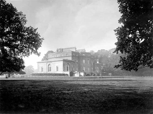
Despite its rural location, Long Bottom is well-connected to nearby towns and cities. The town of High Wycombe is just a short drive away, offering a range of amenities and services. The surrounding area also boasts a number of historic attractions, such as the stunning Hughenden Manor and the Hellfire Caves, which draw visitors from near and far.

Overall, Long Bottom is a hidden gem in the heart of Buckinghamshire, offering a tranquil and picturesque setting for residents and visitors alike.

If you have any feedback on the listing, please let us know in the comments section below.
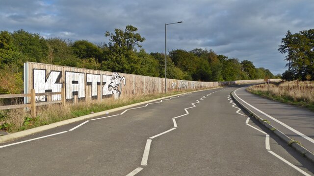
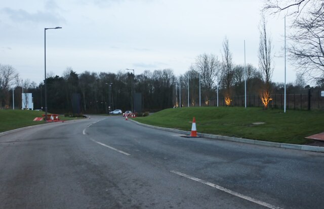
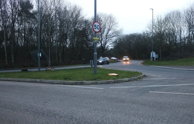
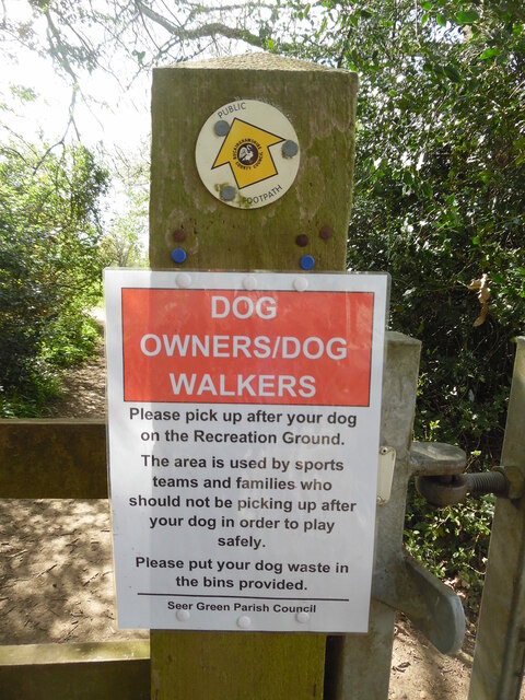
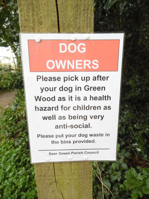
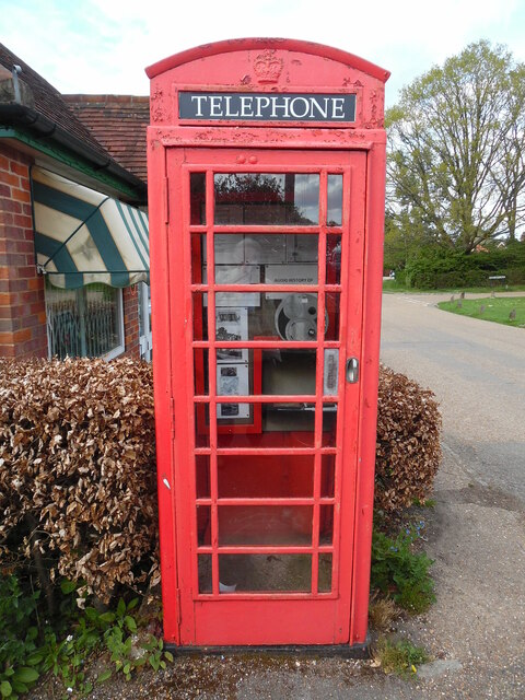
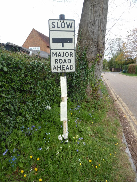
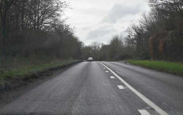
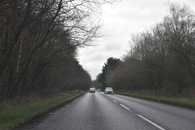
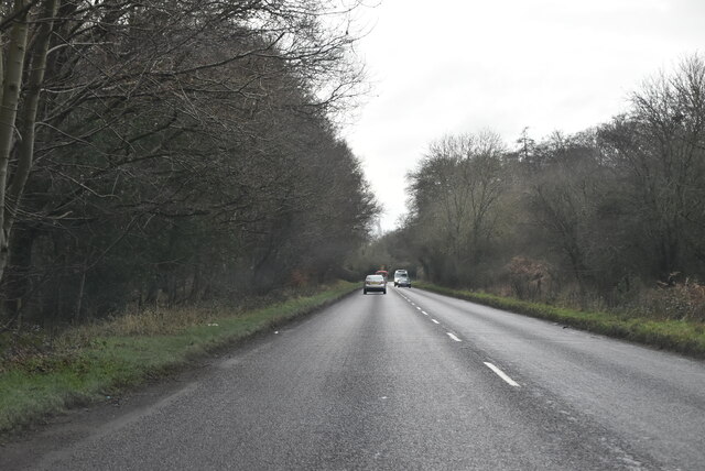
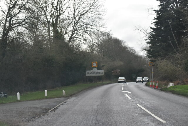
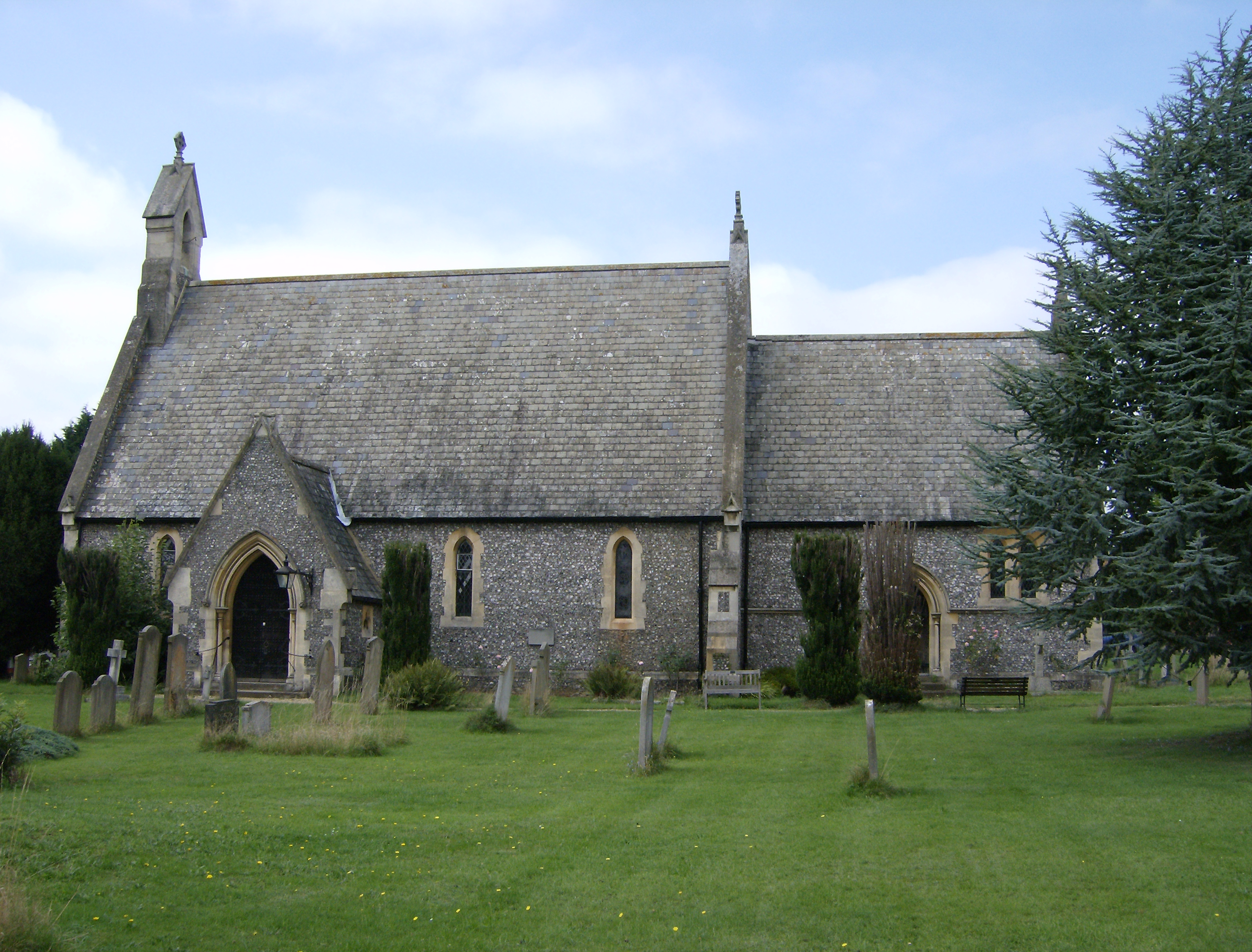
Long Bottom Images

Images are sourced within 2km of 51.61127/-0.60989788 or Grid Reference SU9691. Thanks to Geograph Open Source API. All images are credited.

Beaconsfield's "road to nowhere" This empty half-built relief road was at the centre of a dispute between Buckinghamshire Council and developers over the number of affordable homes planned for nearby Wilton Park, where the carriageway abruptly terminates.

The Bucks Free Press carried a report on the stand-off in September 2018.  <span class="nowrap"><a title="https://www.bucksfreepress.co.uk/news/16862169.revealed-inland-homes-threatens-withdraw-plans-350-homes-wilton-park-refuse-build-section-much-needed-relief-road/" rel="nofollow ugc noopener" href="https://www.bucksfreepress.co.uk/news/16862169.revealed-inland-homes-threatens-withdraw-plans-350-homes-wilton-park-refuse-build-section-much-needed-relief-road/">Link</a><img style="margin-left:2px;" alt="External link" title="External link - shift click to open in new window" src="https://s1.geograph.org.uk/img/external.png" width="10" height="10"/></span>
Beaconsfield's "road to nowhere"
This empty half-built relief road was at the centre of a dispute between Buckinghamshire Council and developers over the number of affordable homes planned for nearby Wilton Park, where the carriageway abruptly terminates. The Bucks Free Press carried a report on the stand-off in September 2018. LinkExternal link
The entrance to Wilton Park, Beaconsfield Another huge housing development is under construction.
The entrance to Wilton Park, Beaconsfield
Another huge housing development is under construction.
The Pyebush Roundabout, Beaconsfield
Dog Notice near Recreation Ground, Seer Green This notice, which has been erected by Seer Green Parish Council, is on the footpath between Butlers Cross and Seer Green. It has the following wording:

                         DOG 
                      OWNERS/DOG
                       WALKERS

               Please pick up after your dog
                 on the Recreation Ground.

               The area is used by sports
                 teams and families who
               should not be picking up after
                 your dog in order to play
                         safely.
               
                Please put your dog waste in
                     the bins provided.

 A public footpath arrow marker can be seen above the notice.
Dog Notice near Recreation Ground, Seer Green
This notice, which has been erected by Seer Green Parish Council, is on the footpath between Butlers Cross and Seer Green. It has the following wording: DOG OWNERS/DOG WALKERS Please pick up after your dog on the Recreation Ground. The area is used by sports teams and families who should not be picking up after your dog in order to play safely. Please put your dog waste in the bins provided. A public footpath arrow marker can be seen above the notice.
Dog Owners Notice by Green Wood, Seer Green This notice, erected by Seer Green Parish Council, is by a track leading from Seer Green to Jordans. It has the following wording:

                               DOG
                              OWNERS

                      Please pick up after
                       your dog in Green
                      Wood as it is a health 
                      hazard for children as
                       well as being very
                         anti-social.

                   Please put your dog waste in
                       the bins provided.
Dog Owners Notice by Green Wood, Seer Green
This notice, erected by Seer Green Parish Council, is by a track leading from Seer Green to Jordans. It has the following wording: DOG OWNERS Please pick up after your dog in Green Wood as it is a health hazard for children as well as being very anti-social. Please put your dog waste in the bins provided.
Red K6 Telephone Box in Jordans village This telephone box is located by Jordans Village Store in Green West Road, HP9 2SY. Its payphone has now been taken out and an Audio History of Jordans Village installed instead. Details of Jordans village can be found at <span class="nowrap"><a title="https://www.jordansvillage.co.uk/index.html" rel="nofollow ugc noopener" href="https://www.jordansvillage.co.uk/index.html">Link</a><img style="margin-left:2px;" alt="External link" title="External link - shift click to open in new window" src="https://s1.geograph.org.uk/img/external.png" width="10" height="10"/></span>. Green North Road can just be seen to the right of the photo.
Red K6 Telephone Box in Jordans village
This telephone box is located by Jordans Village Store in Green West Road, HP9 2SY. Its payphone has now been taken out and an Audio History of Jordans Village installed instead. Details of Jordans village can be found at LinkExternal link. Green North Road can just be seen to the right of the photo.
Old Road Sign in Seer Green Lane, Jordans This photo shows the old road sign located in Seer Green Lane HP9 2ST and which is missing its red circle with inverted triangle above it. During the mid-1960s, this particular sign was replaced by the inverted triangle "Give Way" sign. This road leads to Jordans Lane in the distance.
Old Road Sign in Seer Green Lane, Jordans
This photo shows the old road sign located in Seer Green Lane HP9 2ST and which is missing its red circle with inverted triangle above it. During the mid-1960s, this particular sign was replaced by the inverted triangle "Give Way" sign. This road leads to Jordans Lane in the distance.
Amersham Rd The A355 runs 13 miles from Eton to Amersham.
<span class="nowrap"><a title="http://www.sabre-roads.org.uk/wiki/index.php?title=A355" rel="nofollow ugc noopener" href="http://www.sabre-roads.org.uk/wiki/index.php?title=A355">Link</a><img style="margin-left:2px;" alt="External link" title="External link - shift click to open in new window" src="https://s1.geograph.org.uk/img/external.png" width="10" height="10"/></span>
Amersham Rd
The A355 runs 13 miles from Eton to Amersham. LinkExternal link
A355, southbound The A355 runs 13 miles from Eton to Amersham.
<span class="nowrap"><a title="http://www.sabre-roads.org.uk/wiki/index.php?title=A355" rel="nofollow ugc noopener" href="http://www.sabre-roads.org.uk/wiki/index.php?title=A355">Link</a><img style="margin-left:2px;" alt="External link" title="External link - shift click to open in new window" src="https://s1.geograph.org.uk/img/external.png" width="10" height="10"/></span>
A355, southbound
The A355 runs 13 miles from Eton to Amersham. LinkExternal link
Amersham Rd, A355 The A355 runs 13 miles from Eton to Amersham.
<span class="nowrap"><a title="http://www.sabre-roads.org.uk/wiki/index.php?title=A355" rel="nofollow ugc noopener" href="http://www.sabre-roads.org.uk/wiki/index.php?title=A355">Link</a><img style="margin-left:2px;" alt="External link" title="External link - shift click to open in new window" src="https://s1.geograph.org.uk/img/external.png" width="10" height="10"/></span>
Amersham Rd, A355
The A355 runs 13 miles from Eton to Amersham. LinkExternal link
Entering Beaconsfield, A355 The A355 runs 13 miles from Eton to Amersham.
<span class="nowrap"><a title="http://www.sabre-roads.org.uk/wiki/index.php?title=A355" rel="nofollow ugc noopener" href="http://www.sabre-roads.org.uk/wiki/index.php?title=A355">Link</a><img style="margin-left:2px;" alt="External link" title="External link - shift click to open in new window" src="https://s1.geograph.org.uk/img/external.png" width="10" height="10"/></span>
Entering Beaconsfield, A355
The A355 runs 13 miles from Eton to Amersham. LinkExternal link
A355, Wipass Hill The A355 runs 13 miles from Eton to Amersham.
<span class="nowrap"><a title="http://www.sabre-roads.org.uk/wiki/index.php?title=A355" rel="nofollow ugc noopener" href="http://www.sabre-roads.org.uk/wiki/index.php?title=A355">Link</a><img style="margin-left:2px;" alt="External link" title="External link - shift click to open in new window" src="https://s1.geograph.org.uk/img/external.png" width="10" height="10"/></span>
A355, Wipass Hill
The A355 runs 13 miles from Eton to Amersham. LinkExternal link
Amersham Rd, A355 The A355 runs 13 miles from Eton to Amersham.
<span class="nowrap"><a title="http://www.sabre-roads.org.uk/wiki/index.php?title=A355" rel="nofollow ugc noopener" href="http://www.sabre-roads.org.uk/wiki/index.php?title=A355">Link</a><img style="margin-left:2px;" alt="External link" title="External link - shift click to open in new window" src="https://s1.geograph.org.uk/img/external.png" width="10" height="10"/></span>
Amersham Rd, A355
The A355 runs 13 miles from Eton to Amersham. LinkExternal link
A355, southbound The A355 runs 13 miles from Eton to Amersham.
<span class="nowrap"><a title="http://www.sabre-roads.org.uk/wiki/index.php?title=A355" rel="nofollow ugc noopener" href="http://www.sabre-roads.org.uk/wiki/index.php?title=A355">Link</a><img style="margin-left:2px;" alt="External link" title="External link - shift click to open in new window" src="https://s1.geograph.org.uk/img/external.png" width="10" height="10"/></span>
A355, southbound
The A355 runs 13 miles from Eton to Amersham. LinkExternal link
Ronald Rd
Ronald Rd
A355 The A355 runs 13 miles from Eton to Amersham.
<span class="nowrap"><a title="http://www.sabre-roads.org.uk/wiki/index.php?title=A355" rel="nofollow ugc noopener" href="http://www.sabre-roads.org.uk/wiki/index.php?title=A355">Link</a><img style="margin-left:2px;" alt="External link" title="External link - shift click to open in new window" src="https://s1.geograph.org.uk/img/external.png" width="10" height="10"/></span>
A355
The A355 runs 13 miles from Eton to Amersham. LinkExternal link
Show me another place!

Long Bottom is located at Grid Ref: SU9691 (Lat: 51.61127, Lng: -0.60989788)

Unitary Authority: Buckinghamshire

Police Authority: Thames Valley

What 3 Words

///rivers.exist.shark. Near Seer Green, Buckinghamshire

Related Wikis

Seer Green and Jordans railway station

Seer Green and Jordans railway station is a railway station near the village of Seer Green in Buckinghamshire, England. It also serves the nearby village...

Long Grove Wood

Long Grove Wood is a 1.5-hectare (3.7-acre) nature reserve managed by the Berkshire, Buckinghamshire and Oxfordshire Wildlife Trust in Seer Green in Buckinghamshire...

Beaconsfield Golf Club

Beaconsfield Golf Club is a golf club, located in Seer Green, Buckinghamshire, England. It is located about 1 mile east of Beaconsfield. The club was established...

Seer Green

Seer Green is a village and civil parish in Buckinghamshire, England. It is in the Chiltern Hills, 1.8 miles (2.9 km) east-north-east of Beaconsfield and...

Seer Green rail crash

The Seer Green rail crash occurred on the morning of 11 December 1981 near Seer Green, Buckinghamshire, England between two four-car Class 115 diesel multiple...

Jordans, Buckinghamshire

Jordans is a village in Chalfont St Giles parish, Buckinghamshire, England, and the civil parish of Hedgerley. It is a centre for Quakerism, holds the...

Welders House

Welders House is a Grade II listed house located in the village of Jordans, in Buckinghamshire, England. It was built between 1898 and 1899 for the politician...

Wilton Park Estate

The Wilton Park Estate is located in Beaconsfield in Buckinghamshire. == History == The Wilton park estate once belonged to the monks of Burnham Abbey...

Nearby Amenities

Located within 500m of 51.61127,-0.60989788
Turning Circle
Turning Circle: circle
Lat/Long: 51.6135522/-0.6054274
Seer Green and Jordans
Naptan AtcoCode: 9100SEERGRN
Network: National Rail
Network Website: https://www.nationalrail.co.uk/stations/srg/
Network Wikidata: Q26334
Operator: Chiltern Railways
Public Transport: station
Railway: station
Ref Crs: SRG
Wikidata: Q7445936
Wikipedia: en:Seer Green and Jordans railway station
Lat/Long: 51.6098754/-0.6080105
Post Box
Collection Times: Mo-Fr 09:00; Sa 07:00
Operator: Royal Mail
Post Box Type: wall
Ref: HP9 122D
Royal Cypher: GR
Royal Cypher Wikidata: Q33102273
Source: survey
Survey Date: 2015-09-26
Lat/Long: 51.6114236/-0.6060497
Chalfont Taxis
Office: company
Phone: +44 1494 875522
Lat/Long: 51.6097895/-0.6075434
Bicycle Parking
Bicycle Parking: wide_stands
Capacity: 10
Covered: yes
Lat/Long: 51.6100907/-0.6075978
Bicycle Parking
Bicycle Parking: wide_stands
Capacity: 20
Covered: no
Lat/Long: 51.6098766/-0.6076878
Direction: 170
Generator Method: photovoltaic
Generator Output Electricity: yes
Generator Solar Modules: 14
Generator Source: solar
Generator Type: solar_photovoltaic_panel
Location: roof
Power: generator
Lat/Long: 51.6127245/-0.6059386
Direction: 250
Generator Method: photovoltaic
Generator Output Electricity: yes
Generator Solar Modules: 16
Generator Source: solar
Generator Type: solar_photovoltaic_panel
Location: roof
Power: generator
Lat/Long: 51.6157641/-0.6097766
Direction: 250
Fixme: survey to verify panel count
Generator Method: photovoltaic
Generator Output Electricity: yes
Generator Solar Modules: 14
Generator Source: solar
Generator Type: solar_photovoltaic_panel
Location: roof
Power: generator
Lat/Long: 51.615416/-0.6095471
Direction: 155
Generator Method: photovoltaic
Generator Output Electricity: yes
Generator Solar Modules: 16
Generator Source: solar
Generator Type: solar_photovoltaic_panel
Location: roof
Power: generator
Lat/Long: 51.6149276/-0.6077925
Direction: 250
Generator Method: photovoltaic
Generator Output Electricity: yes
Generator Solar Modules: 16
Generator Source: solar
Generator Type: solar_photovoltaic_panel
Location: roof
Power: generator
Lat/Long: 51.6155742/-0.6096759
Turning Circle
Turning Circle: knuckle
Lat/Long: 51.6155614/-0.6099685
Turning Circle
Turning Circle: square
Lat/Long: 51.6150495/-0.6083298
Colour: yellow
Marker: post
Material: concrete
Utility: gas
Lat/Long: 51.6124403/-0.6128656
The data included in this document is from www.openstreetmap.org. The data is made available under ODbL.

Have you been to Long Bottom?

Leave your review of Long Bottom below (or comments, questions and feedback).