Chesham Vale

Valley in Buckinghamshire

England

Chesham Vale

Darvell Drive, Chesham
Darvell Drive, Chesham Credit: David Howard

The requested URL returned error: 429 Too Many Requests

If you have any feedback on the listing, please let us know in the comments section below.
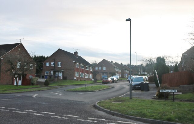
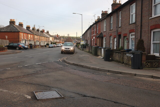
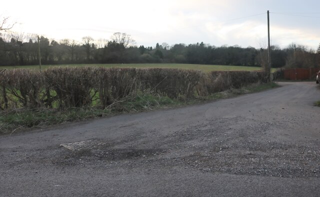
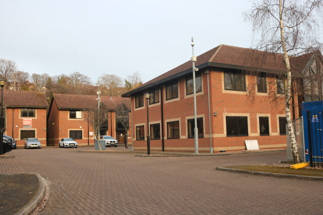
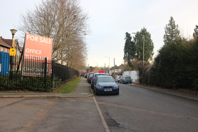
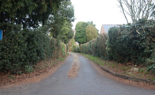
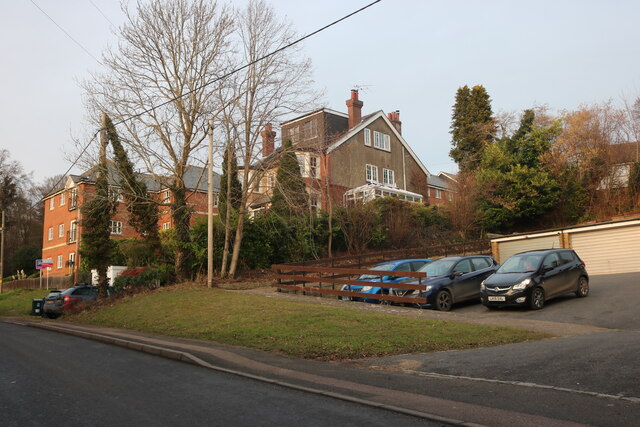
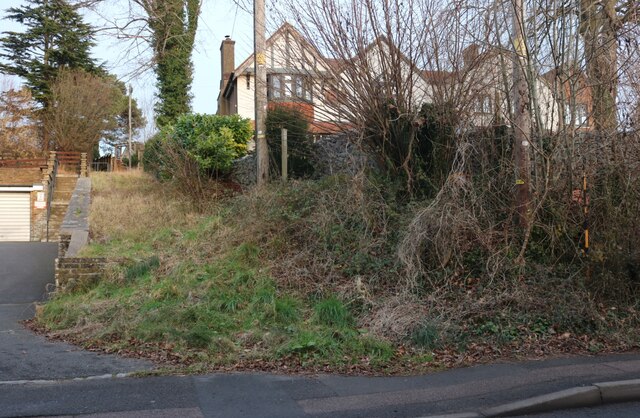
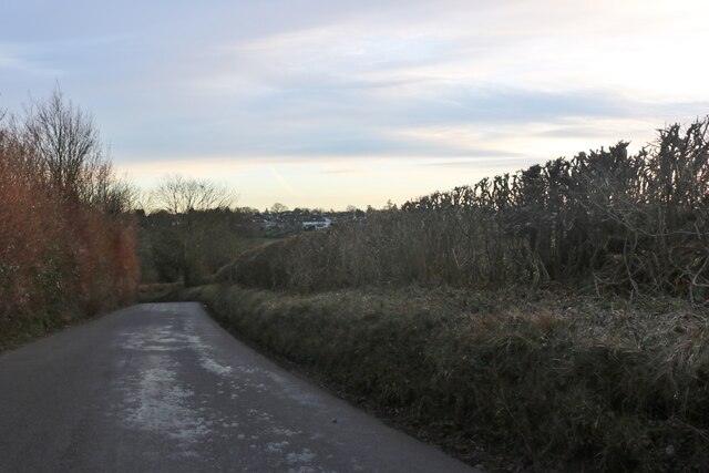
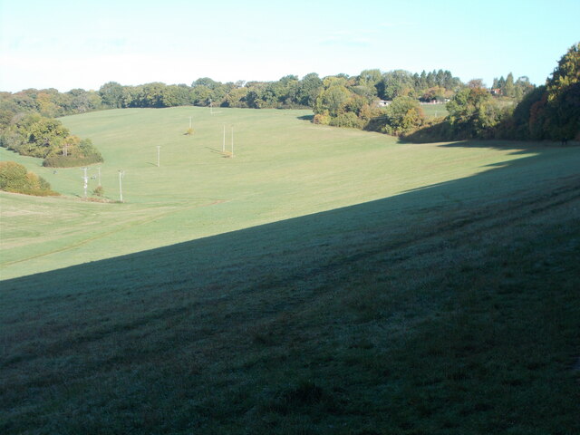
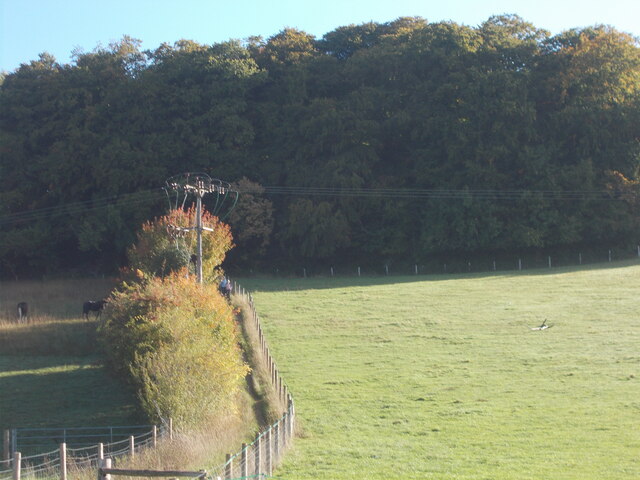
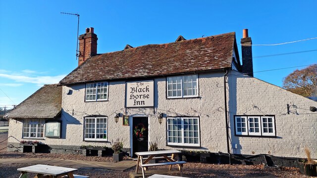
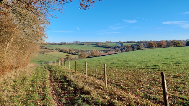
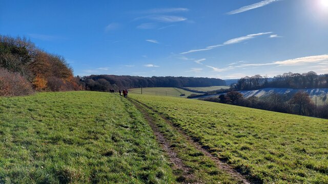
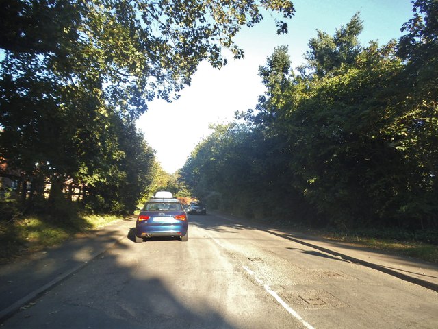
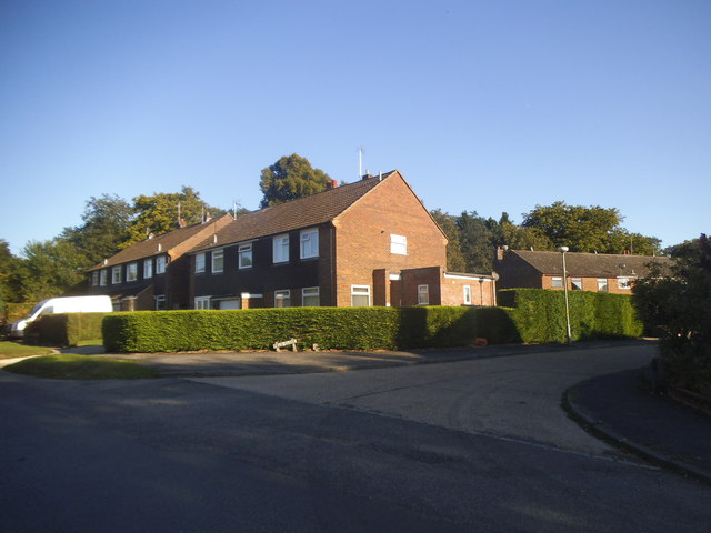
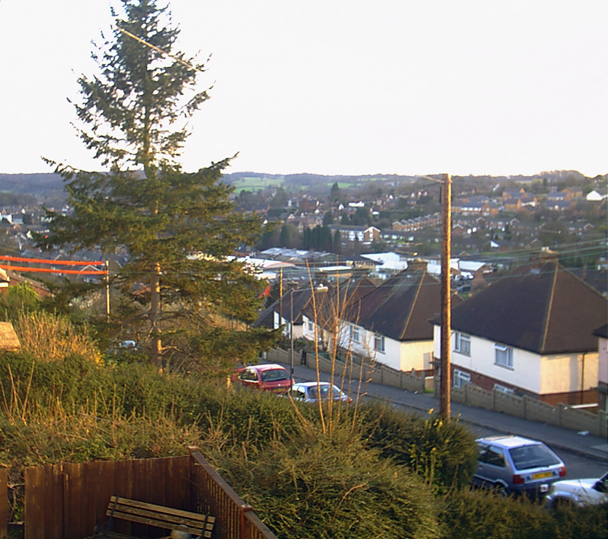
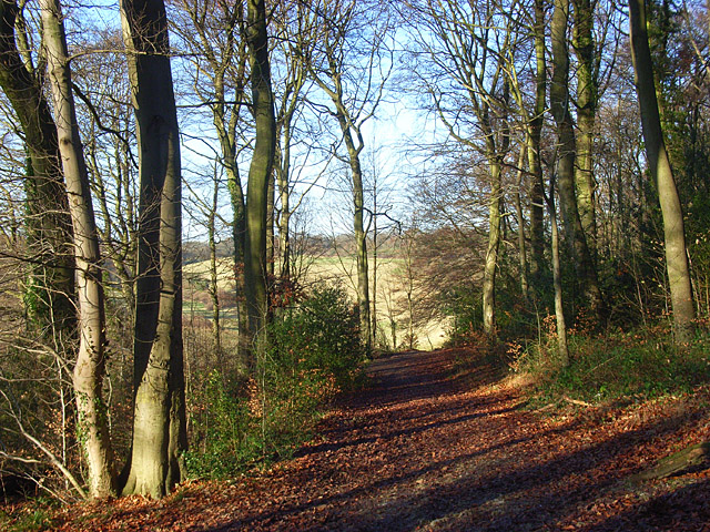
Chesham Vale Images

Images are sourced within 2km of 51.727226/-0.60659038 or Grid Reference SP9604. Thanks to Geograph Open Source API. All images are credited.

Darvell Drive, Chesham
Asheridge Road at the junction of Bellingdon Road
Track by Asheridge Road, Chesham
Chiltern Court, Chesham
Asheridge Road, Chesham
Ramscote Lane, Bellingdon
Hivings Hill, Chesham
Houses on  Hivings Hill, Chesham
Houses on Hivings Hill, Chesham
Mount Nugent, Bellingdon
Asheridge Road, Chesham On the Chilterns looking across to the edge of town.
Asheridge Road, Chesham
On the Chilterns looking across to the edge of town.
Chesham sign at Asheridge Road
Asheridge Bottom One of the dry valleys in the Chilterns.
Asheridge Bottom
One of the dry valleys in the Chilterns.
Path uphill to Captain's Wood
The Black Horse Inn
The Black Horse Inn
Chesham Vale
Chesham Vale
Chesham Vale
Chesham Vale
Lycrome Road, Chesham
Lycrome Road at the junction of Field Close
Show me another place!

Chesham Vale is located at Grid Ref: SP9604 (Lat: 51.727226, Lng: -0.60659038)

Unitary Authority: Buckinghamshire

Police Authority: Thames Valley

What 3 Words

///hits.figure.blitz. Near Chesham, Buckinghamshire

Nearby Locations

Chesham Vale Short Wood

Related Wikis

Pond Park

Pond Park (originally called North Chesham) is an area of Chesham in Buckinghamshire, England, built on the hills to the north of the town starting in...

Ashley Green

Ashley Green is a village and civil parish in Buckinghamshire, England. The parish is on the boundary with Hertfordshire, midway between Chesham and Berkhamsted...

Captain's Wood, Buckinghamshire

Captain's Wood is a 13.9 hectares (34 acres) Local Nature Reserve near Chesham in Buckinghamshire. It is owned by Buckinghamshire County Council and the...

Sands Bank

Sands Bank is an 11.1 hectares (27 acres) Local Nature Reserve in High Wycombe in Buckinghamshire. It is owned by West Wycombe Estates and managed by Wycombe...

Nearby Amenities

Located within 500m of 51.727226,-0.60659038
Created By: Potlatch 0.10f
Ele NPE: 382 ft
Source: NPE
Lat/Long: 51.7289825/-0.6046028
Power: pole
Lat/Long: 51.7294374/-0.6005364
Power: pole
Lat/Long: 51.7296335/-0.6017333
Power: pole
Lat/Long: 51.7298492/-0.6030727
Power: pole
Lat/Long: 51.7300587/-0.6043131
Power: pole
Lat/Long: 51.7302302/-0.6055813
Power: pole
Lat/Long: 51.7304214/-0.6068099
Power: pole
Lat/Long: 51.7306025/-0.6082268
Power: pole
Lat/Long: 51.7307192/-0.609273
Power: pole
Lat/Long: 51.7308054/-0.6098507
Power: pole
Lat/Long: 51.7297589/-0.6016374
Power: pole
Lat/Long: 51.7299797/-0.6030331
Power: pole
Lat/Long: 51.7301914/-0.6043239
Power: pole
Lat/Long: 51.7303793/-0.6056111
Power: pole
Lat/Long: 51.7307769/-0.6081318
Power: pole
Lat/Long: 51.7309435/-0.6091395
Chesham Vale
Place: locality
Lat/Long: 51.7270178/-0.6088315
Bower Farm
Addr Postcode: HP5 3NS
Addr Street: The Vale
Place: farm
Source: OS OpenData StreetView
Lat/Long: 51.7301044/-0.6071419
Pub
The Black Horse
Addr City: Chesham
Addr County: Buckinghamshire
Addr Housename: The Vale
Addr Postcode: HP5 3NS
Addr Street: The Vale
Addr Village: Hawridge
Fhrs Id: 942189
Phone: +44 1494 784656
Source Addr: FHRS Open Data
Url: http://www.black-horse-inn.co.uk/
Wikidata: Q26456504
Lat/Long: 51.73155/-0.60628
Post Box
Collection Times: Mo-Fr 15:15; Sa 08:00
Operator: Royal Mail
Operator Wikidata: Q638098
Post Box Type: lamp
Ref: HP5 56
Royal Cypher: EIIR
Royal Cypher Wikidata: Q33102113
Source: survey
Survey Date: 2015-08-23
Lat/Long: 51.7314438/-0.6060225
Direction: 190
Generator Method: photovoltaic
Generator Output Electricity: yes
Generator Solar Modules: 6
Generator Source: solar
Generator Type: solar_photovoltaic_panel
Location: roof
Power: generator
Lat/Long: 51.7281568/-0.6052966
Direction: 280
Generator Method: photovoltaic
Generator Output Electricity: yes
Generator Solar Modules: 11
Generator Source: solar
Generator Type: solar_photovoltaic_panel
Location: roof
Power: generator
Lat/Long: 51.7282102/-0.6053537
Power: pole
Lat/Long: 51.729875/-0.6016181
The data included in this document is from www.openstreetmap.org. The data is made available under ODbL.

Have you been to Chesham Vale?

Leave your review of Chesham Vale below (or comments, questions and feedback).