West Clough
Valley in Yorkshire
England
West Clough
The requested URL returned error: 429 Too Many Requests
If you have any feedback on the listing, please let us know in the comments section below.
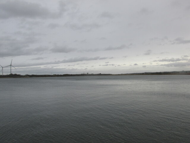
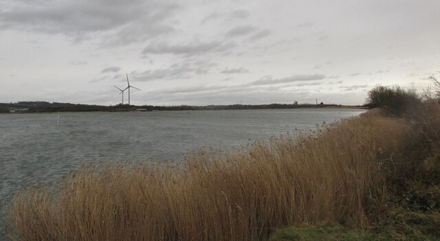
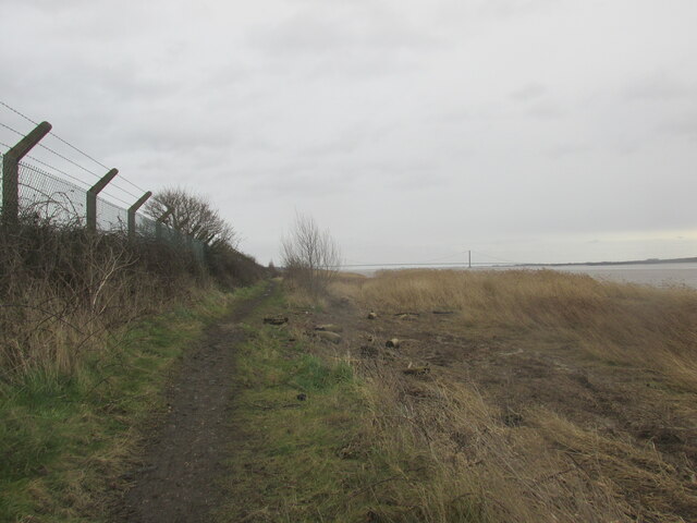
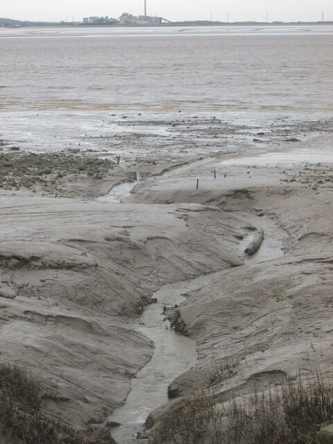
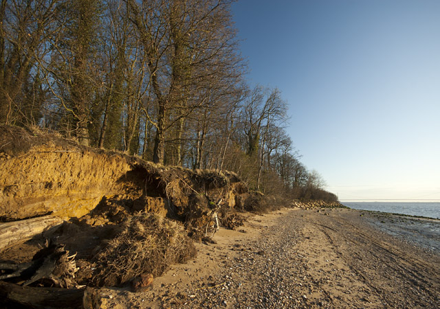
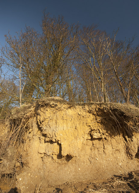
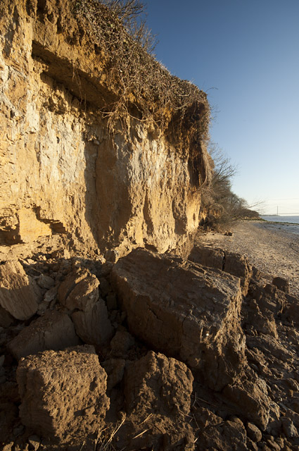
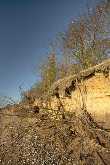
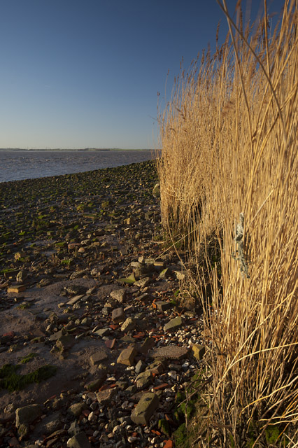
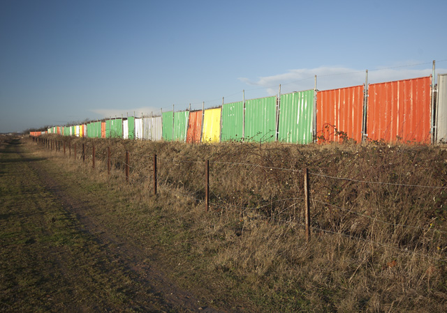
West Clough Images
Images are sourced within 2km of 53.708967/-0.54242245 or Grid Reference SE9624. Thanks to Geograph Open Source API. All images are credited.
West Clough is located at Grid Ref: SE9624 (Lat: 53.708967, Lng: -0.54242245)
Division: East Riding
Unitary Authority: East Riding of Yorkshire
Police Authority: Humberside
What 3 Words
///brass.flick.comic. Near Welton, East Yorkshire
Nearby Locations
Related Wikis

Melton Halt railway station
Melton Halt railway station was a worker's station built on the Hull and Selby line near Melton. The halt was built for works trains to and from the Humber...

Brough Aerodrome
Brough Aerodrome (ICAO: EGNB) was a private use aerodrome located at Brough, East Riding of Yorkshire, England. It is now disused with the last known...

Melton, East Riding of Yorkshire
Melton is a village in the civil parish of Welton, East Riding of Yorkshire, England. It is situated about 8 miles (13 km) west of Kingston upon Hull city...
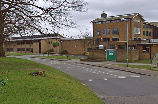
South Hunsley School
South Hunsley School & Sixth Form College is a large secondary school and sixth form, situated in Melton in the East Riding of Yorkshire, England, near...
Nearby Amenities
Located within 500m of 53.708967,-0.54242245Have you been to West Clough?
Leave your review of West Clough below (or comments, questions and feedback).