Moor Plantation
Wood, Forest in Rutland
England
Moor Plantation
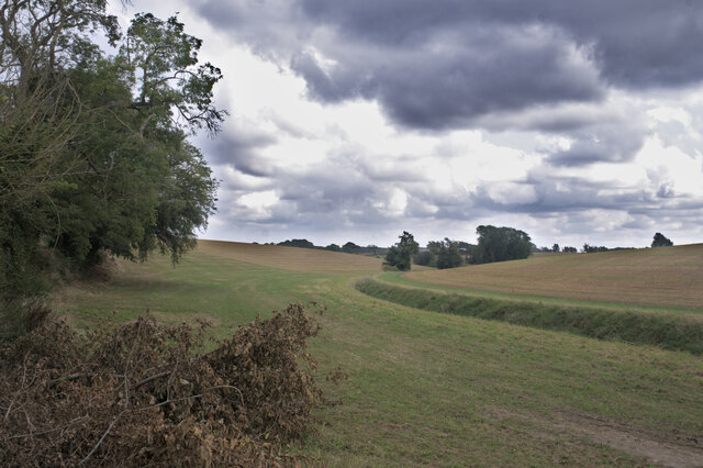
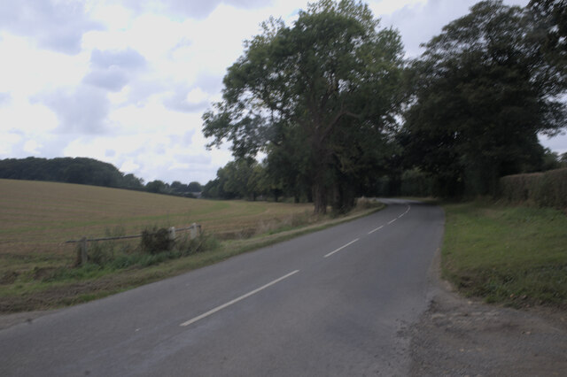
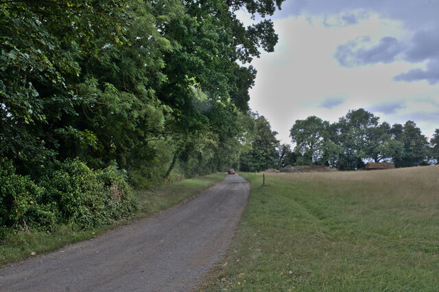
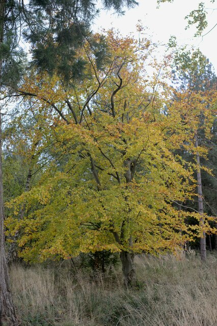
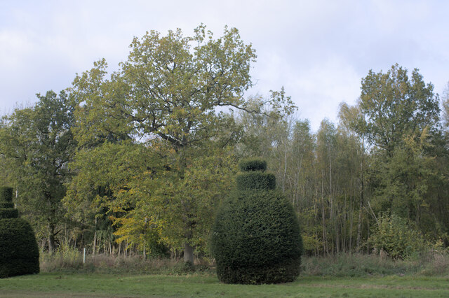
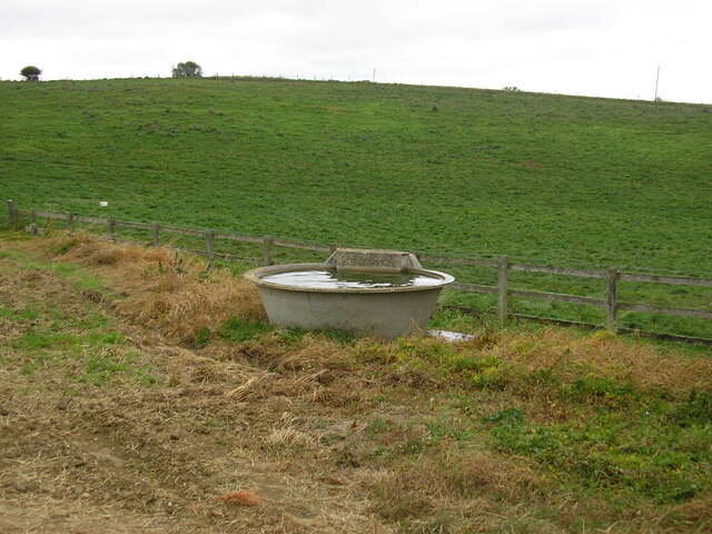
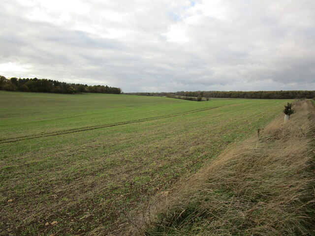
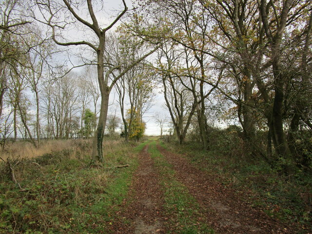
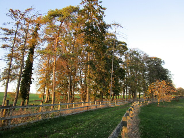
Moor Plantation, located in Rutland, is a picturesque woodland area renowned for its natural beauty and diverse ecosystem. Covering a vast expanse, the plantation is predominantly characterized by its dense forest of oak, birch, and pine trees, creating a serene and tranquil environment.
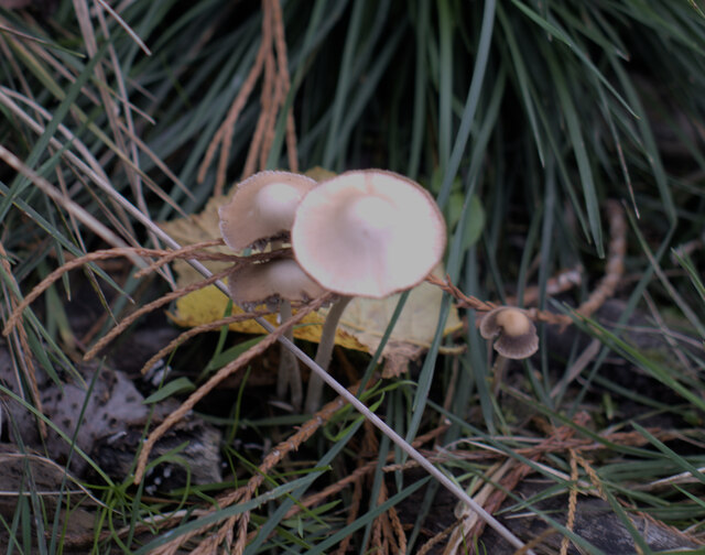
The plantation is home to a wide variety of wildlife, making it a popular destination for nature enthusiasts and wildlife lovers. Visitors can encounter various species of birds, including woodpeckers, owls, and thrushes, as well as mammals such as deer, foxes, and rabbits. The diverse flora and fauna present in Moor Plantation make it an ideal habitat for these creatures.
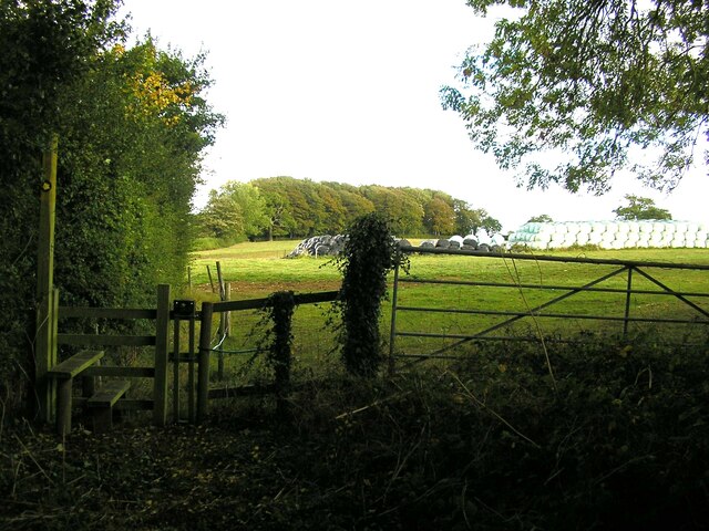
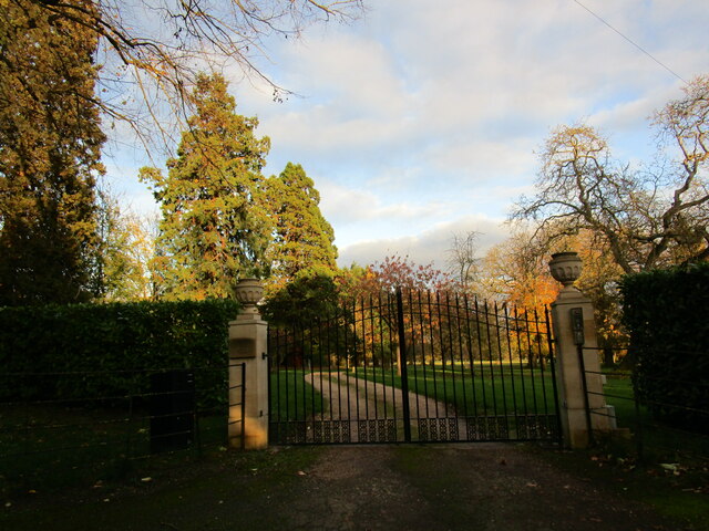
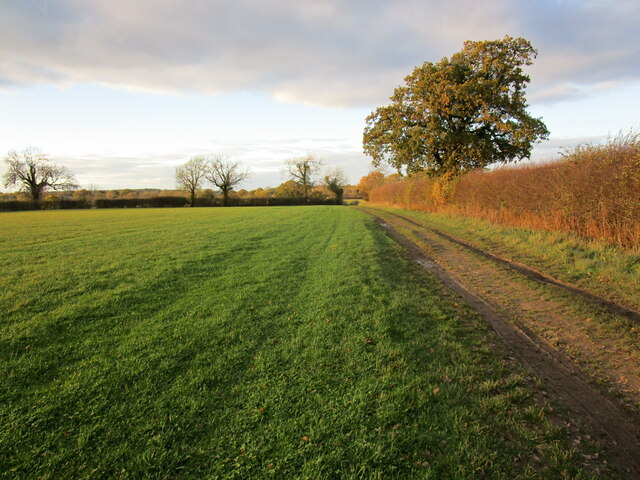
The plantation offers numerous walking trails and paths, allowing visitors to explore and immerse themselves in the natural surroundings. These trails range in difficulty, catering to both casual strollers and avid hikers. The plantation also features picnic areas, providing a perfect spot for visitors to relax and enjoy their surroundings.
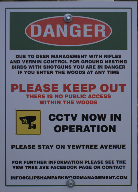
Moor Plantation is not only a haven for wildlife and nature enthusiasts but also serves as an important conservation area. Efforts have been made to protect and preserve the woodland, ensuring its sustainability for future generations. The plantation is managed by local authorities, who work closely with environmental organizations to maintain its ecological balance.
Overall, Moor Plantation in Rutland offers a unique opportunity to experience the beauty of a natural woodland habitat. Its rich biodiversity, scenic trails, and peaceful ambiance make it a must-visit destination for anyone seeking solace in nature.
If you have any feedback on the listing, please let us know in the comments section below.
Moor Plantation Images
Images are sourced within 2km of 52.736945/-0.57286465 or Grid Reference SK9616. Thanks to Geograph Open Source API. All images are credited.


Moor Plantation is located at Grid Ref: SK9616 (Lat: 52.736945, Lng: -0.57286465)
Unitary Authority: Rutland
Police Authority: Leicestershire
What 3 Words
///strongly.assets.unhelpful. Near Clipsham, Rutland
Nearby Locations
Related Wikis

Clipsham
Clipsham is a small village in the county of Rutland in the East Midlands of England. It is in the northeast of Rutland, close to the county boundary with...

St Mary's Church, Clipsham
St Mary's Church is a Church of England parish church in Clipsham, Rutland. It is a Grade II* listed building. == History == The church dates back to the...

The Olive Branch and Beech House
The Olive Branch is a public house and restaurant located in the Rutland village of Clipsham. Clipsham is close to the A1, near Stamford, Lincolnshire...
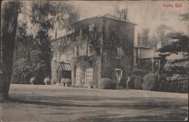
Gayton Hall
Gayton Hall is a country house in the parish of Gayton near King's Lynn in Norfolk. == History == The present building was built between 1803 and 1810...

HM Prison Stocken
HM Prison Stocken is a Category C men's prison located in the parish of Stretton, in the county of Rutland, England. Stocken is operated by His Majesty...

St Nicholas' Church, Stretton
St Nicholas' Church is a church in Stretton, Rutland. It is a Grade II* listed building. == History == The small church consists of nave with north aisle...
Stretton, Rutland
Stretton is a village and civil parish in the county of Rutland, England, just off the A1 Great North Road. The population of the civil parish was 770...
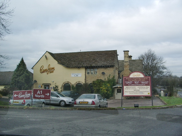
Ram Jam Inn
The Ram Jam Inn was a historic pub in the civil parish of Greetham, Rutland, England, located on the west side of the Great North Road (now the A1), near...
Nearby Amenities
Located within 500m of 52.736945,-0.57286465Have you been to Moor Plantation?
Leave your review of Moor Plantation below (or comments, questions and feedback).