Slade Wood

Wood, Forest in Buckinghamshire

England

Slade Wood

Jones Way across the green at Hedgerley Hill This open grassland with a football pitch and children's play area has houses all around it, and the houses back onto woodland.
Jones Way across the green at Hedgerley Hill Credit: David Hawgood

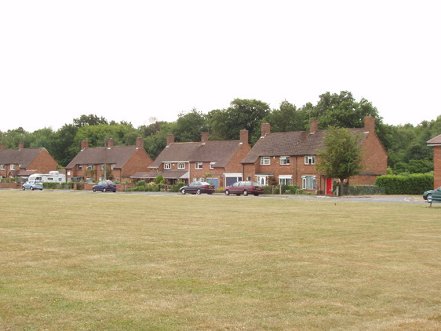
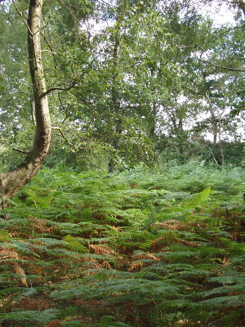
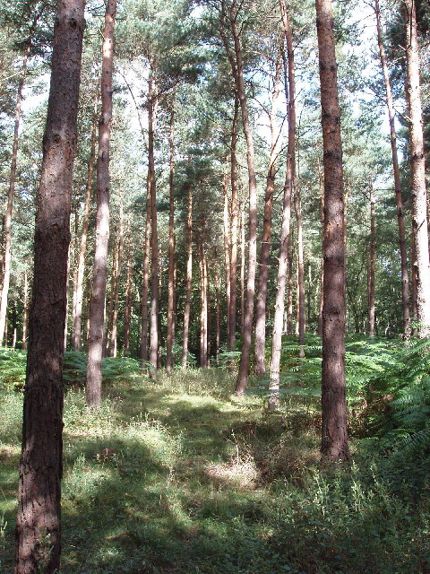
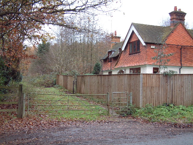
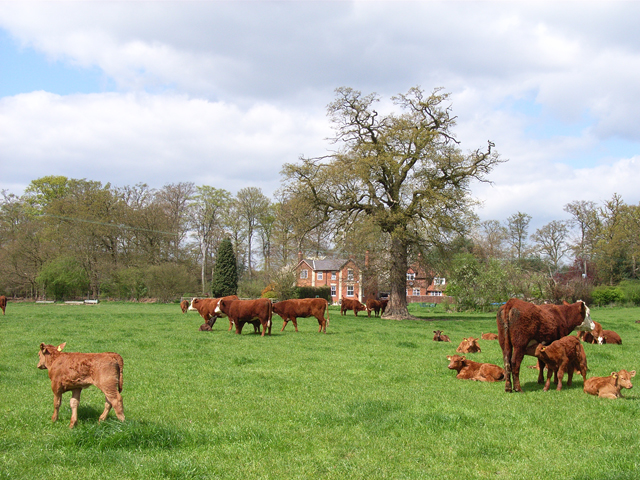
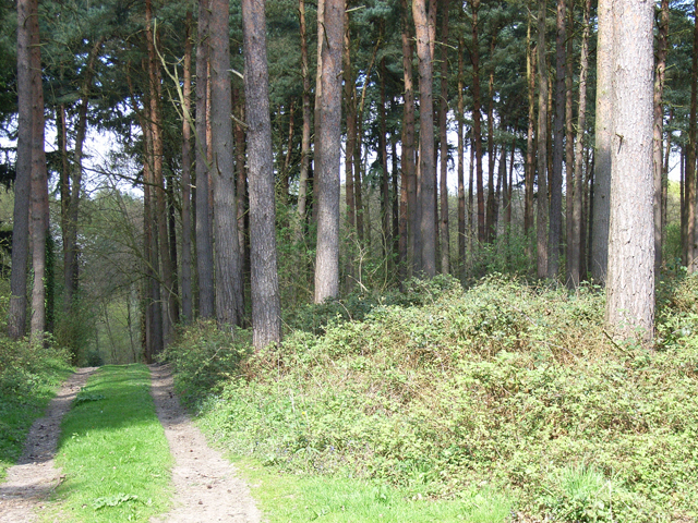
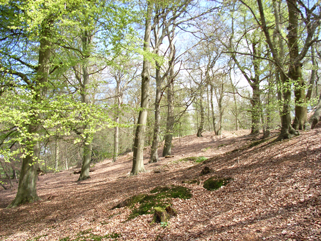
Slade Wood is a picturesque forest located in Buckinghamshire, England. Stretching over an area of approximately 100 acres, it is renowned for its natural beauty and diverse ecosystem. The woodland is predominantly composed of mature trees, including oak, beech, and birch, which create a dense canopy above, providing shade and shelter to various flora and fauna.

The forest floor is covered with a rich carpet of mosses, ferns, and wildflowers, adding to the enchanting ambiance of the wood. The undergrowth is a haven for small mammals, such as rabbits and voles, while the treetops are home to a plethora of bird species, including woodpeckers, owls, and songbirds.

Slade Wood offers numerous walking trails and paths, allowing visitors to explore its natural wonders. These paths meander through the ancient woodland, offering glimpses of tranquil ponds and babbling brooks. The woodland is a popular destination for nature enthusiasts, photographers, and families seeking a peaceful retreat.

Managed by the local council, Slade Wood is well-maintained and boasts picnic areas, benches, and information boards, providing visitors with a comfortable and informative experience. The forest is also open for educational visits, allowing schools and other groups to learn about the importance of conservation and the unique ecosystem found within.

Overall, Slade Wood in Buckinghamshire is a charming and biodiverse forest, offering visitors the opportunity to immerse themselves in nature and appreciate the beauty of the natural world.

If you have any feedback on the listing, please let us know in the comments section below.
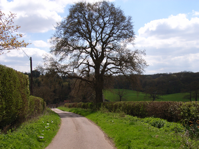
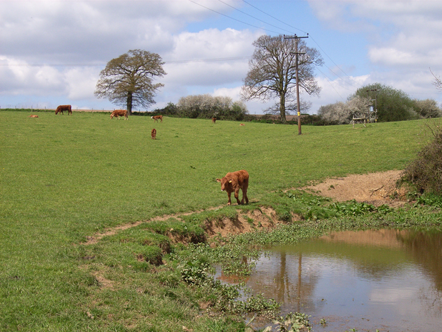
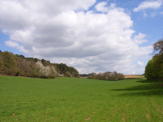
Slade Wood Images

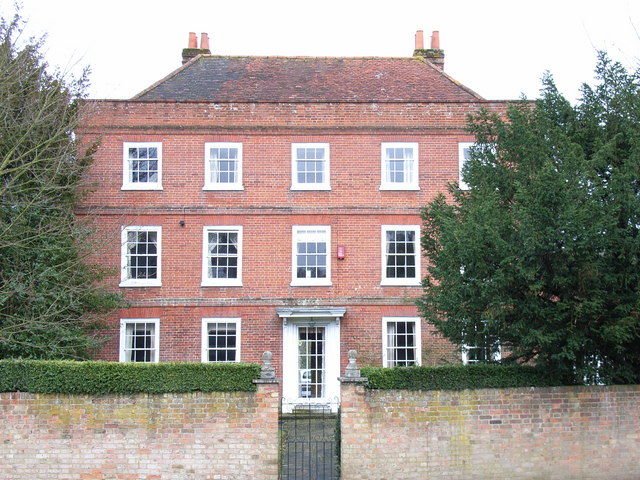
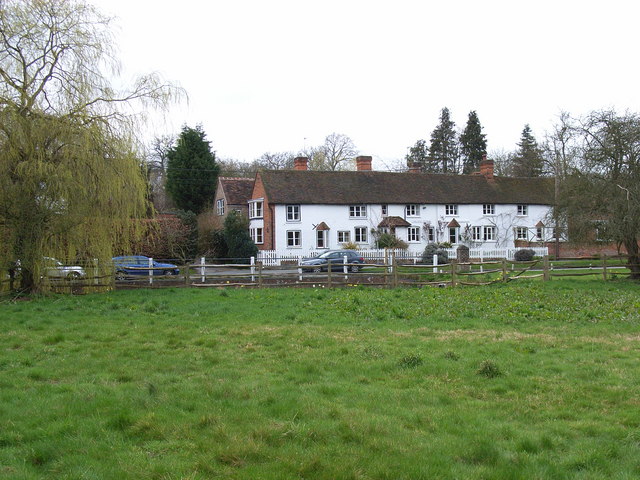
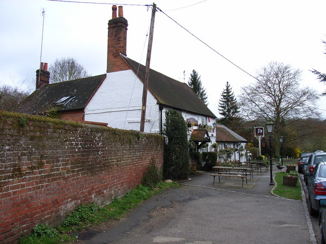
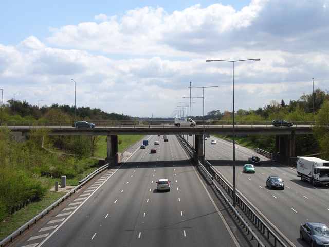
Images are sourced within 2km of 51.583658/-0.60926838 or Grid Reference SU9688. Thanks to Geograph Open Source API. All images are credited.

Jones Way across the green at Hedgerley Hill This open grassland with a football pitch and children's play area has houses all around it, and the houses back onto woodland.
Jones Way across the green at Hedgerley Hill
This open grassland with a football pitch and children's play area has houses all around it, and the houses back onto woodland.
Egypt Woods, near Farnham Common These woods are privately owned by the Portman Burtley estate, which has provided permissive paths by arrangement with the Forestry Commission. The woods are just North of Burnham Beeches.
Egypt Woods, near Farnham Common
These woods are privately owned by the Portman Burtley estate, which has provided permissive paths by arrangement with the Forestry Commission. The woods are just North of Burnham Beeches.
Conifers in Egypt Woods, near Farnham Common The woods are mainly deciduous, with beeches like the adjacent Burnham Beeches, also oak and birch. But at the Northern edge of the woods are a stand of conifers.
Conifers in Egypt Woods, near Farnham Common
The woods are mainly deciduous, with beeches like the adjacent Burnham Beeches, also oak and birch. But at the Northern edge of the woods are a stand of conifers.
Sandy Bottom Lodge At the junction of Potkiln Lane and the A40.
Sandy Bottom Lodge
At the junction of Potkiln Lane and the A40.
Bell House Hotel This hotel on the A40 has a leisure centre attached.
Bell House Hotel
This hotel on the A40 has a leisure centre attached.
St Mary the Virgin's, Hedgerley The parish forms a joint benefice with Farnham Royal.
St Mary the Virgin's, Hedgerley
The parish forms a joint benefice with Farnham Royal.
Court Farm, Hedgerley Situated in Village Road, this was formerly a boys' home, but is now a private residence. The building dates from the late 18th century.
Court Farm, Hedgerley
Situated in Village Road, this was formerly a boys' home, but is now a private residence. The building dates from the late 18th century.
Cottages in Hedgerley Hedgerley is boastful of its Best Kept Village awards.
Cottages in Hedgerley
Hedgerley is boastful of its Best Kept Village awards.
The White Horse, Hedgerley On Village Lane, Hedgerley's main road.
The White Horse, Hedgerley
On Village Lane, Hedgerley's main road.
M40, Beaconsfield At Junction 2, from the western part of the roundabout above.
M40, Beaconsfield
At Junction 2, from the western part of the roundabout above.
Cattle and Burtley Wood With Burtley Wood Cottages in the trees.
Cattle and Burtley Wood
With Burtley Wood Cottages in the trees.
Pines near Hillmotts Farm The track is the public footpath from Hedgerley to Beaconsfield.
Pines near Hillmotts Farm
The track is the public footpath from Hedgerley to Beaconsfield.
Sand pit at Hedgerley Signs warn of quicksand. There are a some other pits around that are now lakes. The distant tower is a block in Beaconsfield.
Sand pit at Hedgerley
Signs warn of quicksand. There are a some other pits around that are now lakes. The distant tower is a block in Beaconsfield.
Hedgerley Lane, near Beaconsfield The bus is, for some reason, parked at the entrance to Burtley Wood Cottages. There is plenty of gorse on the motorway embankment which is alongside.
Hedgerley Lane, near Beaconsfield
The bus is, for some reason, parked at the entrance to Burtley Wood Cottages. There is plenty of gorse on the motorway embankment which is alongside.
Beeches near Hillmotts Farm A short distance east of the farm's driveway.
Beeches near Hillmotts Farm
A short distance east of the farm's driveway.
Andrew Hill Lane, Hedgerley Cottages at the junction with Kiln Lane can just be seen ahead.
Andrew Hill Lane, Hedgerley
Cottages at the junction with Kiln Lane can just be seen ahead.
Pastures near Hedgerley From the junction of Andrew Hill Lane and Kiln Lane.
Pastures near Hedgerley
From the junction of Andrew Hill Lane and Kiln Lane.
Dorney Bottom The valley between Pennlands Wood and Bower Wood.
Dorney Bottom
The valley between Pennlands Wood and Bower Wood.
Show me another place!

Slade Wood is located at Grid Ref: SU9688 (Lat: 51.583658, Lng: -0.60926838)

Unitary Authority: Buckinghamshire

Police Authority: Thames Valley

What 3 Words

///parent.movie.gone. Near Gerrards Cross, Buckinghamshire

Related Wikis

Hedgerley

Hedgerley is a village and civil parish in South Bucks district in Buckinghamshire, England. The parish is centred 3 miles (4.8 km) south-east of Beaconsfield...

Beaconsfield services

Beaconsfield services is a motorway service station on the M40 motorway in Beaconsfield in Buckinghamshire, England. It is operated by Extra, and opened...

Beaconsfield Town F.C.

Beaconsfield Town Football Club is a football club based in Beaconsfield, Buckinghamshire, England. They are currently members of the Southern League Premier...

Bulstrode Park

Bulstrode is an English country house and its large park, located to the southwest of Gerrards Cross, Buckinghamshire. The estate spreads across Chalfont...

Bulstrode Preceptory

Bulstrode Preceptory was a preceptory in Buckinghamshire, England. It was first mentioned in 1276. == History == Little is known of Bulstrode Preceptory...

South Bucks

South Bucks was one of four local government districts in the non-metropolitan county of Buckinghamshire, in South East England. The district was formed...

Egypt, Buckinghamshire

Egypt is a hamlet in the South Bucks district of Buckinghamshire, England. It is located within Farnham Royal civil parish, just to the north of Farnham...

Hall Barn

Hall Barn is a historic country house located in Beaconsfield, South Bucks district, in Buckinghamshire, England. == History == The Hall Barn estate was...

Nearby Amenities

Located within 500m of 51.583658,-0.60926838
Barrier: stile
Bicycle: no
Foot: designated
Horse: no
Motor Vehicle: no
Lat/Long: 51.5830121/-0.6112704
Power: pole
Lat/Long: 51.5810735/-0.6125358
Power: pole
Lat/Long: 51.581818/-0.6127428
Power: pole
Lat/Long: 51.5816468/-0.6116869
Power: pole
Lat/Long: 51.5814792/-0.6106264
Power: pole
Lat/Long: 51.5812942/-0.6095264
Power: pole
Lat/Long: 51.5811332/-0.6084633
Power: pole
Lat/Long: 51.5815034/-0.6072744
Power: pole
Lat/Long: 51.5818648/-0.6060143
Power: pole
Lat/Long: 51.5822175/-0.6047874
Power: pole
Lat/Long: 51.5825307/-0.6037184
Power: pole
Lat/Long: 51.5822348/-0.6024556
Power: pole
Lat/Long: 51.5823552/-0.6023864
Power: pole
Lat/Long: 51.5823565/-0.6134056
Power: pole
Lat/Long: 51.5829098/-0.614063
Power: pole
Lat/Long: 51.5834496/-0.6147223
Power: pole
Lat/Long: 51.583995/-0.6153761
Power: pole
Lat/Long: 51.5847432/-0.6162779
Power: pole
Lat/Long: 51.5803119/-0.6123368
Power: pole
Lat/Long: 51.579563/-0.6121324
The data included in this document is from www.openstreetmap.org. The data is made available under ODbL.

Have you been to Slade Wood?

Leave your review of Slade Wood below (or comments, questions and feedback).