Cave Wood
Wood, Forest in Buckinghamshire
England
Cave Wood
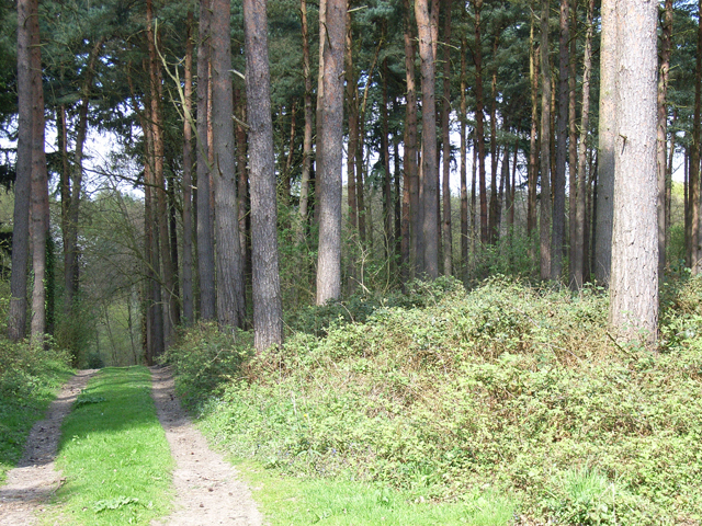
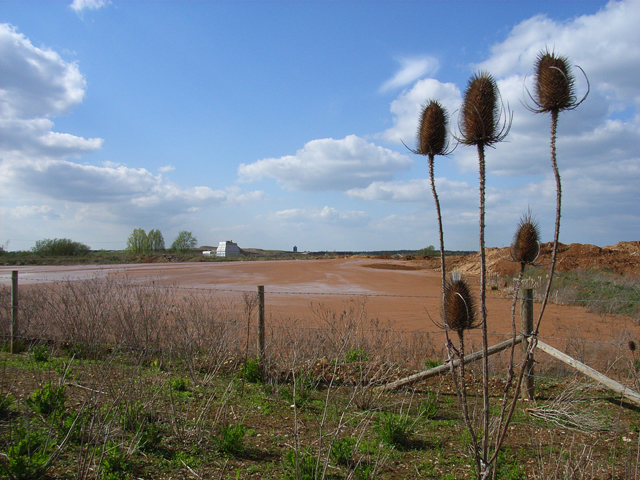
Cave Wood, located in Buckinghamshire, England, is a picturesque forest that offers a tranquil escape from the bustling city life. Spread across an area of approximately 100 acres, this wood is renowned for its natural beauty and diverse flora and fauna.
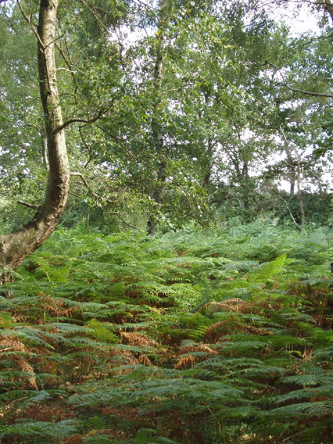
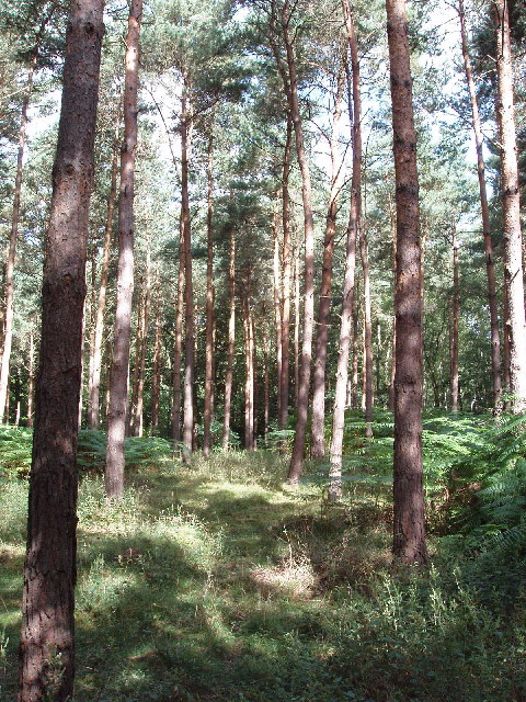
As one steps into Cave Wood, they are greeted by a canopy of tall, ancient trees, including oak, beech, and hornbeam. These majestic trees create a serene atmosphere, with dappled sunlight filtering through the leaves, casting a magical glow on the forest floor. The woodland is characterized by a dense undergrowth of ferns, bluebells, and wildflowers, adding a splash of color to the scenery.
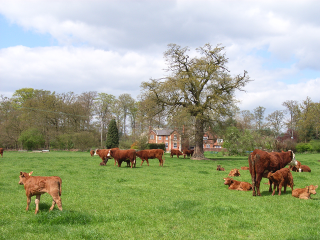
Visitors to Cave Wood can enjoy various activities such as hiking, birdwatching, and nature photography. The forest is home to a wide range of wildlife, including deer, badgers, foxes, and numerous species of birds. Birdwatchers can spot woodpeckers, owls, and thrushes among the treetops, while keen-eyed observers might catch a glimpse of the elusive red kite soaring above.
The wood is crisscrossed with well-maintained trails, allowing visitors to explore the area at their own pace. Along these paths, there are several benches strategically placed, providing an opportunity to rest and immerse oneself in the peaceful ambiance of the forest.
Cave Wood is a popular destination for nature enthusiasts and families alike, offering a chance to reconnect with nature and appreciate the beauty of the British countryside. With its idyllic setting and abundant wildlife, this woodland truly offers a delightful escape into nature's embrace.
If you have any feedback on the listing, please let us know in the comments section below.
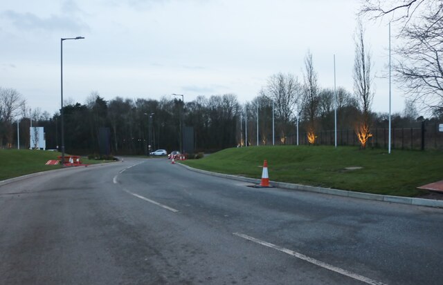
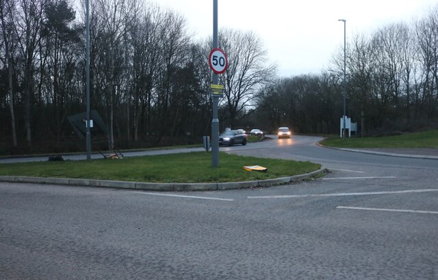
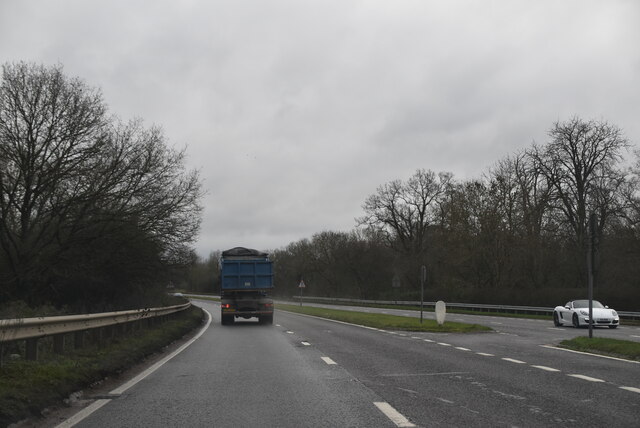
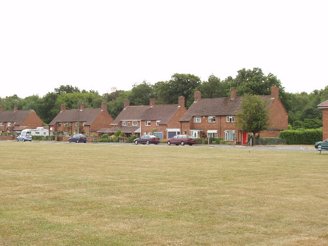
Cave Wood Images
Images are sourced within 2km of 51.58743/-0.61419095 or Grid Reference SU9688. Thanks to Geograph Open Source API. All images are credited.

Cave Wood is located at Grid Ref: SU9688 (Lat: 51.58743, Lng: -0.61419095)
Unitary Authority: Buckinghamshire
Police Authority: Thames Valley
What 3 Words
///baked.foam.lands. Near Seer Green, Buckinghamshire
Nearby Locations
Related Wikis
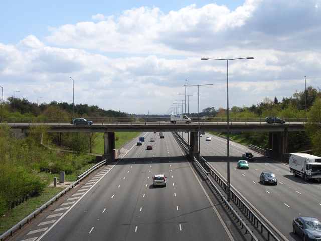
Beaconsfield services
Beaconsfield services is a motorway service station on the M40 motorway in Beaconsfield in Buckinghamshire, England. It is operated by Extra, and opened...

Beaconsfield Town F.C.
Beaconsfield Town Football Club is a football club based in Beaconsfield, Buckinghamshire, England. They are currently members of the Southern League Premier...

Hedgerley
Hedgerley is a village and civil parish in South Bucks district in Buckinghamshire, England. The parish is centred 3 miles (4.8 km) south-east of Beaconsfield...

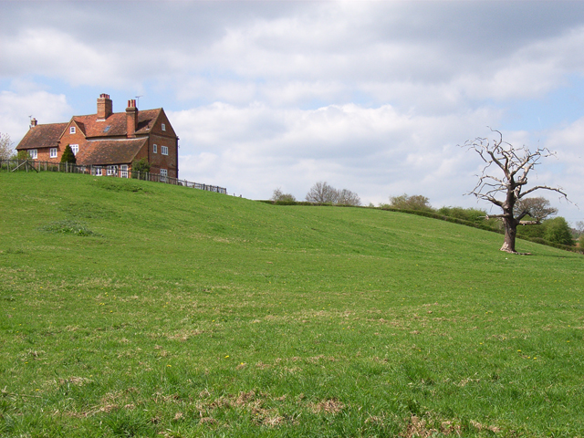
Hall Barn
Hall Barn is a historic country house located in Beaconsfield, South Bucks district, in Buckinghamshire, England. == History == The Hall Barn estate was...
Wilton Park Estate
The Wilton Park Estate is located in Beaconsfield in Buckinghamshire. == History == The Wilton park estate once belonged to the monks of Burnham Abbey...
Wilton Park, Beaconsfield
Wilton Park is a cricket ground in Beaconsfield, Buckinghamshire. The first recorded match on the ground was in 1942, when Beaconsfield played Captain...
Beaconsfield Urban District
The town of Beaconsfield formed a local government district in the administrative county of Buckinghamshire, England from 1850 to 1974. It was administered...
Beaconsfield
Beaconsfield ( BEK-ənz-feeld) is a market town and civil parish in Buckinghamshire, England, 23+1⁄2 miles (38 kilometres) northwest of central London...
Nearby Amenities
Located within 500m of 51.58743,-0.61419095Have you been to Cave Wood?
Leave your review of Cave Wood below (or comments, questions and feedback).