Cow Close Plantation
Wood, Forest in Rutland
England
Cow Close Plantation
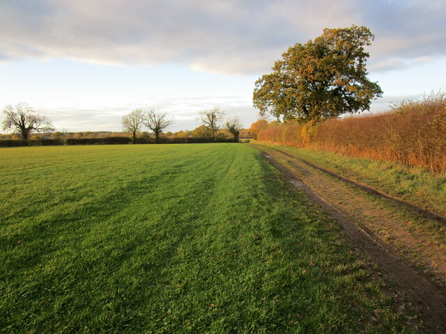
Cow Close Plantation is a picturesque woodland area located in Rutland, England. With its rich history and diverse natural beauty, it has become a popular destination for nature enthusiasts and tourists alike.
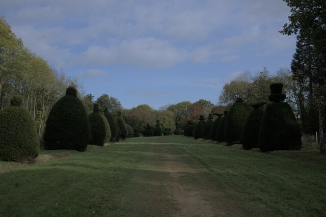
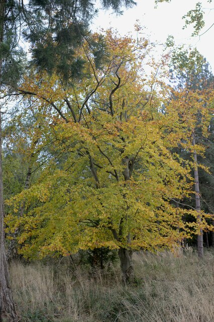
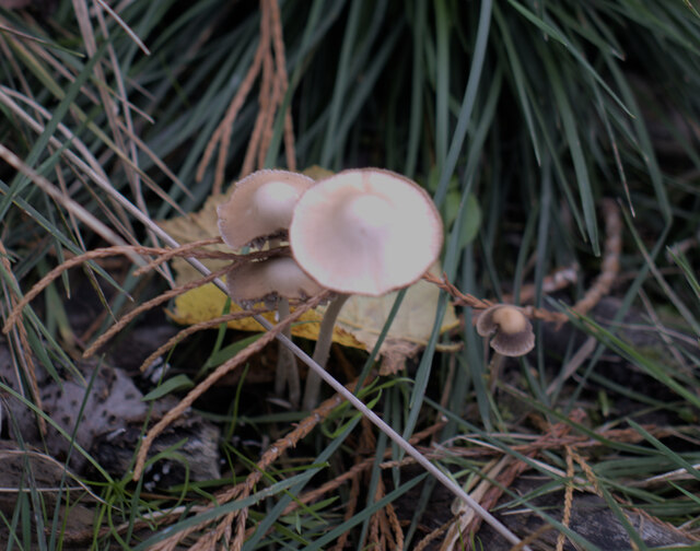
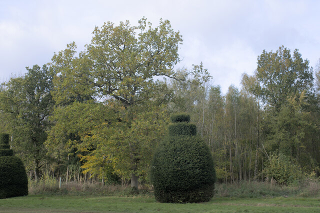
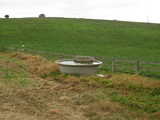
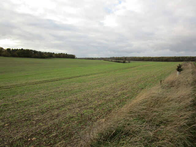
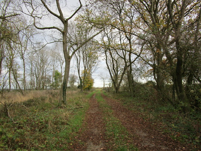
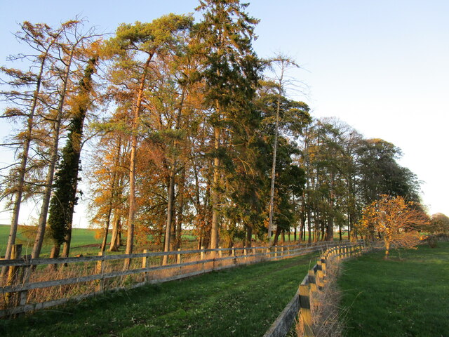
Covering an area of approximately 50 hectares, Cow Close Plantation is dominated by a mix of deciduous and coniferous trees, creating a unique and vibrant ecosystem. The woodland is home to a variety of tree species including oak, beech, birch, and pine, providing a habitat for numerous wildlife species such as deer, foxes, and a wide range of bird species.
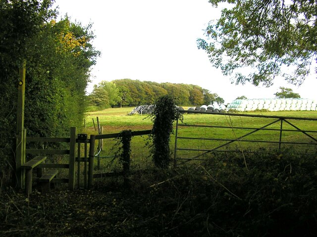
The plantation offers a network of well-maintained footpaths and trails, making it an ideal location for walking, hiking, and cycling. Visitors can explore the woodland at their leisure, immersing themselves in the peaceful and tranquil surroundings. The plantation also features a picnic area, perfect for enjoying a family outing or a quiet moment surrounded by nature.
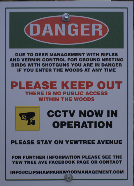
Cow Close Plantation has a rich cultural and historical significance. It has been managed by the Forestry Commission since the early 20th century, originally established to meet the increasing demand for timber. Today, it serves as a valuable educational resource, offering insights into sustainable forestry practices and conservation efforts.
Overall, Cow Close Plantation in Rutland is a captivating woodland retreat, offering a serene escape from the hustle and bustle of everyday life. Its natural beauty, accompanied by its historical significance, makes it a must-visit location for nature lovers and those seeking a peaceful retreat in the heart of England.
If you have any feedback on the listing, please let us know in the comments section below.
Cow Close Plantation Images
Images are sourced within 2km of 52.734448/-0.56927311 or Grid Reference SK9616. Thanks to Geograph Open Source API. All images are credited.


Cow Close Plantation is located at Grid Ref: SK9616 (Lat: 52.734448, Lng: -0.56927311)
Unitary Authority: Rutland
Police Authority: Leicestershire
What 3 Words
///putty.digitally.expose. Near Clipsham, Rutland
Nearby Locations
Related Wikis

Clipsham
Clipsham is a small village in the county of Rutland in the East Midlands of England. It is in the northeast of Rutland, close to the county boundary with...

The Olive Branch and Beech House
The Olive Branch is a public house and restaurant located in the Rutland village of Clipsham. Clipsham is close to the A1, near Stamford, Lincolnshire...

St Mary's Church, Clipsham
St Mary's Church is a Church of England parish church in Clipsham, Rutland. It is a Grade II* listed building. == History == The church dates back to the...
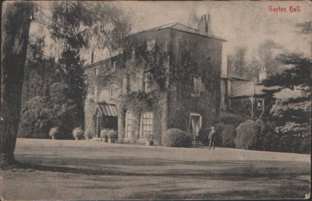
Gayton Hall
Gayton Hall is a country house in the parish of Gayton near King's Lynn in Norfolk. == History == The present building was built between 1803 and 1810...
Nearby Amenities
Located within 500m of 52.734448,-0.56927311Have you been to Cow Close Plantation?
Leave your review of Cow Close Plantation below (or comments, questions and feedback).