Barlavington Hanger

Wood, Forest in Sussex Chichester

England

Barlavington Hanger

View north from the South Downs Way The A285 passes through the dip in the Downs that you can see in the photo.
View north from the South Downs Way Credit: Ian Cunliffe

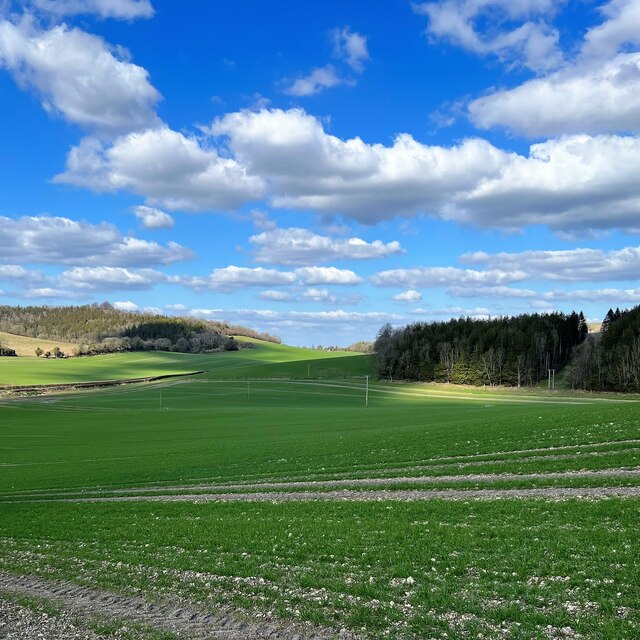
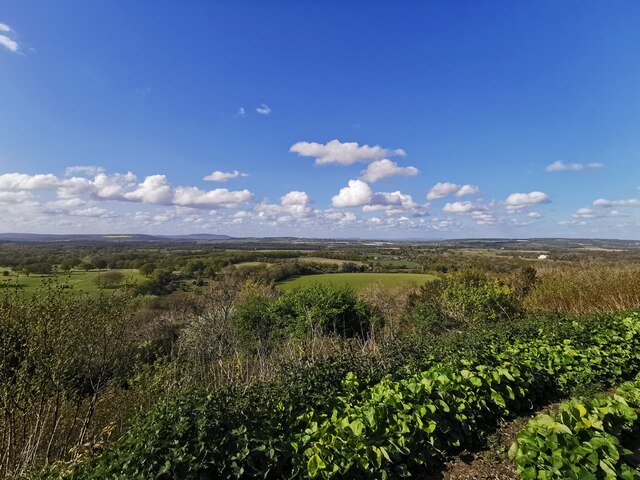
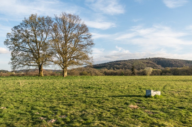
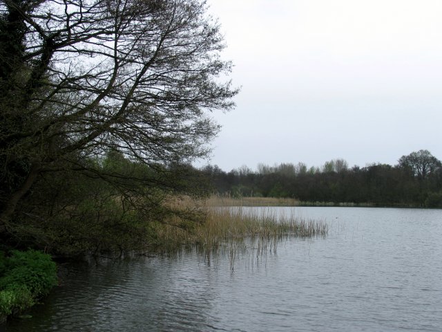
Barlavington Hanger is a picturesque woodland area located in West Sussex, England. Situated near the village of Barlavington, it spans approximately 200 acres of land and is known for its stunning natural beauty and diverse range of flora and fauna.

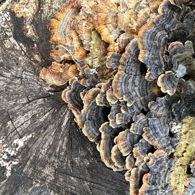
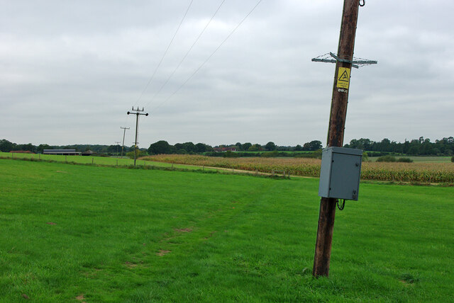
The hanger is primarily composed of mixed woodland, with a variety of tree species including oak, beech, ash, and birch. These trees create a dense and lush canopy, providing a habitat for numerous wildlife species. The forest floor is carpeted with an array of wildflowers, adding bursts of color to the landscape.

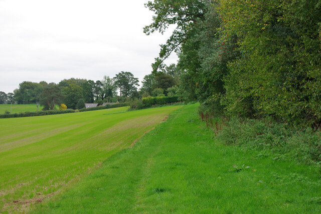
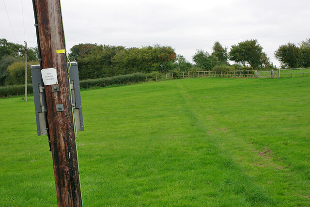
Walking through Barlavington Hanger, visitors can enjoy serene trails that wind through the woods, immersing themselves in the tranquil atmosphere. The hanger offers an ideal setting for nature lovers, hikers, and photographers, seeking to appreciate the beauty of the British countryside.

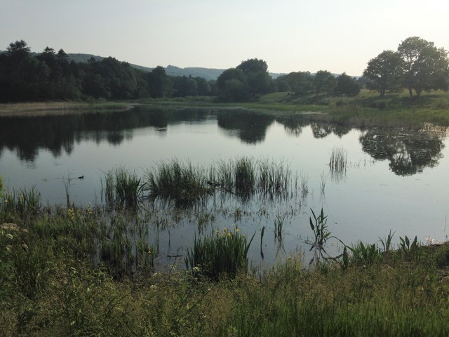
The woodland is also home to a diverse range of wildlife. Birdwatchers can spot various species, including woodpeckers, owls, and thrushes. Small mammals such as squirrels and foxes can also be observed darting through the undergrowth, while deer are occasionally spotted grazing in clearings.

Barlavington Hanger has been designated as a Site of Special Scientific Interest (SSSI) due to its ecological significance. It is managed by local conservation organizations to preserve its unique ecosystem and protect its biodiversity.

In conclusion, Barlavington Hanger is a stunning woodland area in Sussex, offering a peaceful retreat for nature enthusiasts. With its diverse wildlife and beautiful scenery, it is a must-visit destination for those seeking a connection with nature.

If you have any feedback on the listing, please let us know in the comments section below.

Barlavington Hanger Images

Images are sourced within 2km of 50.934682/-0.62881314 or Grid Reference SU9615. Thanks to Geograph Open Source API. All images are credited.
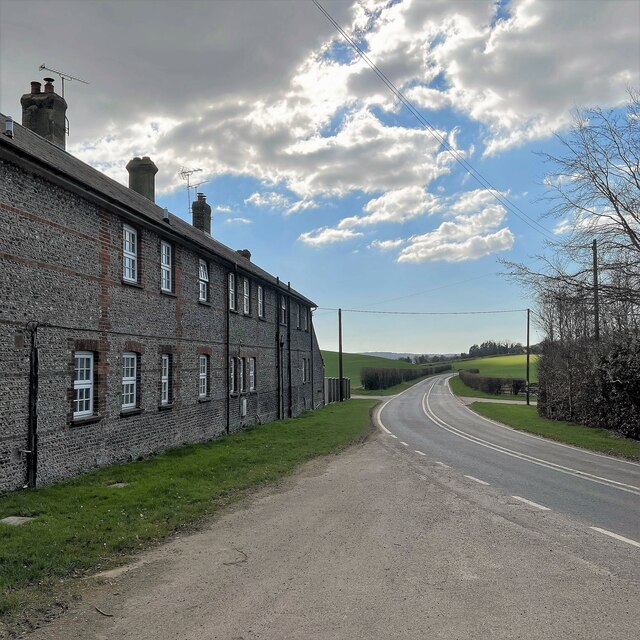
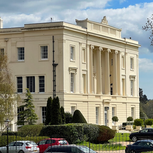
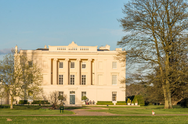
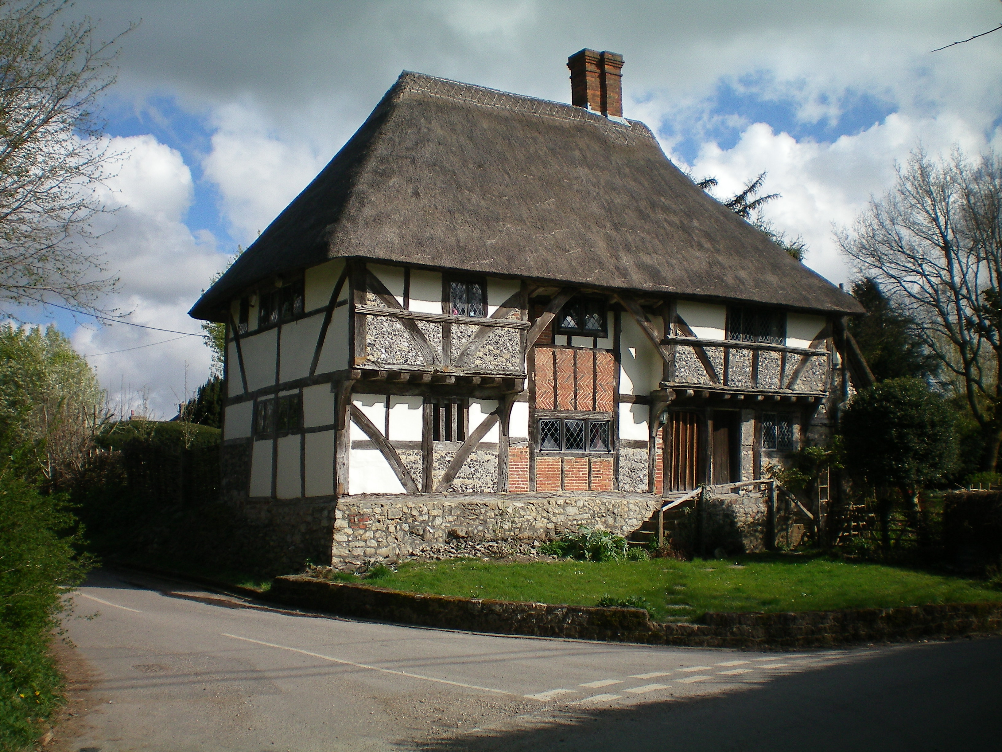
View north from the South Downs Way The A285 passes through the dip in the Downs that you can see in the photo.
View north from the South Downs Way
The A285 passes through the dip in the Downs that you can see in the photo.
Dog Kennel Cottages
Dog Kennel Cottages
Tracks in the stubble This vivid yellow stubble is common hereabouts. I'm not sure what the crop was.
Tracks in the stubble
This vivid yellow stubble is common hereabouts. I'm not sure what the crop was.
View from Duncton Hill View Point
Bracket fungus on a tree stump
Burton House Originally built in 1831 as a private residence for Henry Bassett, Burton Park [House] served for many years as a girl's school - St Michael's. The mansion, like many others in West Sussex, has been converted into luxury housing. Many of the grandest rooms in the building are now incorporated into spectacular apartments - and a cluster of very attractive houses have been built to the north and east of the building. [taken from WestSussex.info]
Burton House
Originally built in 1831 as a private residence for Henry Bassett, Burton Park [House] served for many years as a girl's school - St Michael's. The mansion, like many others in West Sussex, has been converted into luxury housing. Many of the grandest rooms in the building are now incorporated into spectacular apartments - and a cluster of very attractive houses have been built to the north and east of the building. [taken from WestSussex.info]
Burton House I've taken photographs of this house before - but maybe not from exactly this angle!
Burton House
I've taken photographs of this house before - but maybe not from exactly this angle!
Redlands Barn, Duncton Now residential.
Redlands Barn, Duncton
Now residential.
Public footpath 718, Duncton Towards the A285 near the Roman Catholic church.
Public footpath 718, Duncton
Towards the A285 near the Roman Catholic church.
Public footpath 718, Duncton Towards Ridlington Farm. The box on the power pole is plated on the other side '9051 Ridlington 11 kV PMCB', that is, 'Pole mounted circuit breaker'. There also appears to be a manually operated circuit breaker on the next pole.
Public footpath 718, Duncton
Towards Ridlington Farm. The box on the power pole is plated on the other side '9051 Ridlington 11 kV PMCB', that is, 'Pole mounted circuit breaker'. There also appears to be a manually operated circuit breaker on the next pole.
Public footpath 718, Duncton Towards the A285 near the Roman Catholic church.  The box on the power pole is plated '9051 Ridlington 11 kV PMCB', that is, 'Pole mounted circuit breaker'.
Public footpath 718, Duncton
Towards the A285 near the Roman Catholic church. The box on the power pole is plated '9051 Ridlington 11 kV PMCB', that is, 'Pole mounted circuit breaker'.
Public footpath 718, Duncton Over the stile (the gateway to the right is preferable), then down the track towards Ridlington Farm.
Public footpath 718, Duncton
Over the stile (the gateway to the right is preferable), then down the track towards Ridlington Farm.
Track towards Ridlington Farm Also public footpath 718, Duncton.
Track towards Ridlington Farm
Also public footpath 718, Duncton.
Burton Park Grade I listed mansion built in 1828 by architect Henry Bassett.  It was a private house until the Second World War, when it was requisitioned by the army.  After the war it housed a girls boarding scheme, St Michael's, until the 1980s, before becoming a police dog training centre.  In 1997 it was converted into apartments.

For listing particulars see <span class="nowrap"><a title="http://www.historicengland.org.uk/listing/the-list/list-entry/1274798" rel="nofollow ugc noopener" href="http://www.historicengland.org.uk/listing/the-list/list-entry/1274798">Link</a><img style="margin-left:2px;" alt="External link" title="External link - shift click to open in new window" src="https://s1.geograph.org.uk/img/external.png" width="10" height="10"/></span>.
Burton Park
Grade I listed mansion built in 1828 by architect Henry Bassett. It was a private house until the Second World War, when it was requisitioned by the army. After the war it housed a girls boarding scheme, St Michael's, until the 1980s, before becoming a police dog training centre. In 1997 it was converted into apartments. For listing particulars see LinkExternal link.
Burton Park Parkland in the Burton Park estate (see <a href="https://www.geograph.org.uk/photo/4693325">SU9617 : Burton Park</a>), with Duncton Down on the South Downs in the background.
Burton Park
Parkland in the Burton Park estate (see SU9617 : Burton Park), with Duncton Down on the South Downs in the background.
Chingford Pond Situated within Burton Park just south west of Burton Mill Pond. It is designated a Sight Of Nature Conservation.
Chingford Pond
Situated within Burton Park just south west of Burton Mill Pond. It is designated a Sight Of Nature Conservation.
Lodge Green, Duncton Former estate buildings of Burton Park surrounding an open green.
Lodge Green, Duncton
Former estate buildings of Burton Park surrounding an open green.
Show me another place!

Barlavington Hanger is located at Grid Ref: SU9615 (Lat: 50.934682, Lng: -0.62881314)

Administrative County: West Sussex

District: Chichester

Police Authority: Sussex

What 3 Words

///converged.logged.scan. Near Petworth, West Sussex

Related Wikis

Barlavington

Barlavington is a small village and civil parish in the Chichester district of West Sussex, England. The village is situated about four miles (6.4 km)...

Duncton

Duncton is a village and civil parish in the District of Chichester in West Sussex, England. The village is in the South Downs 3 miles (5 km) south of...
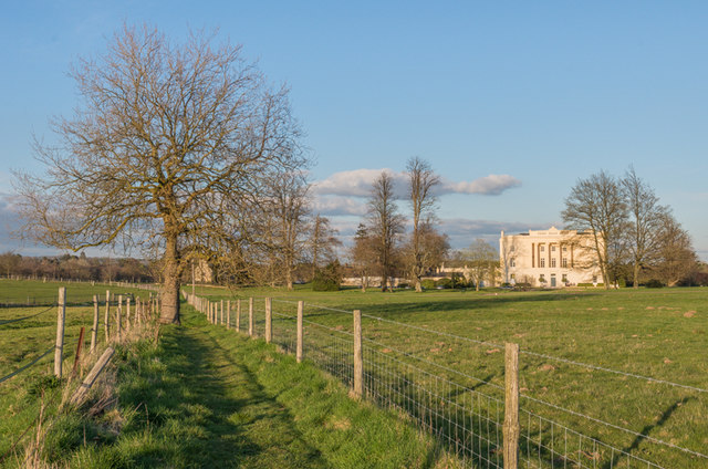
Burton Park

Burton Park is a 19th-century country house in the civil parish of Duncton in West Sussex, and is situated 1/2 a mile to the east of the village of Duncton...

Sutton, West Sussex

Sutton is a village and civil parish in the District of Chichester in West Sussex, England, located six kilometres (4 miles) south of Petworth and east...

Duncton to Bignor Escarpment

Duncton to Bignor Escarpment is a 229-hectare (570-acre) biological Site of Special Scientific Interest west of Pulborough in West Sussex. It is a Special...

East Lavington

East Lavington, formerly Woolavington, is a village and civil parish in the District of Chichester in West Sussex, England. It is located six kilometres...

Burton Park SSSI

Burton Park SSSI is a 57.7-hectare (143-acre) biological Site of Special Scientific Interest west of Pulborough in West Sussex. A larger area of 63 hectares...

Bignor

Bignor is a village and civil parish in the Chichester district of the English county of West Sussex, about six miles (9.7 km) north of Arundel. It is...

Nearby Amenities

Located within 500m of 50.934682,-0.62881314
Barlavington Down
Natural: peak
Source: npe
Lat/Long: 50.9321447/-0.6321551
The data included in this document is from www.openstreetmap.org. The data is made available under ODbL.

Have you been to Barlavington Hanger?

Leave your review of Barlavington Hanger below (or comments, questions and feedback).