Barlavington Down

Hill, Mountain in Sussex Chichester

England

Barlavington Down

View north from the South Downs Way The A285 passes through the dip in the Downs that you can see in the photo.
View north from the South Downs Way Credit: Ian Cunliffe

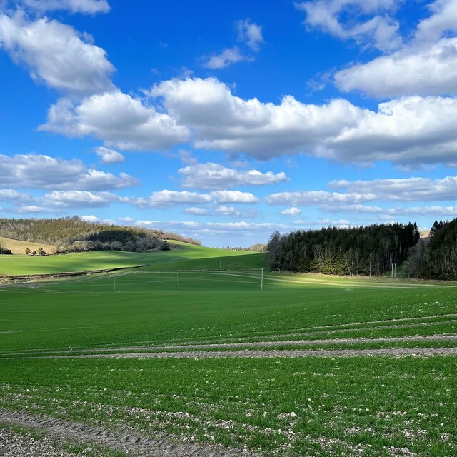
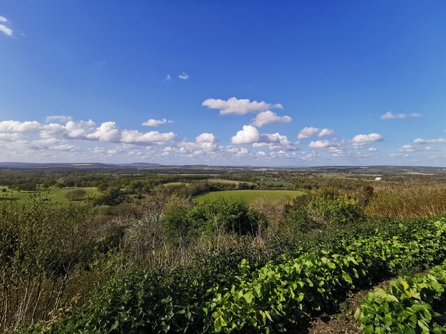
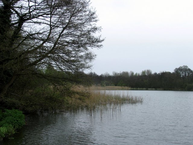
Barlavington Down is a prominent hill located in the county of Sussex, England. It is part of the South Downs National Park and offers stunning panoramic views of the surrounding countryside. The hill itself reaches an elevation of approximately 200 meters (656 feet), making it a notable landmark in the area.

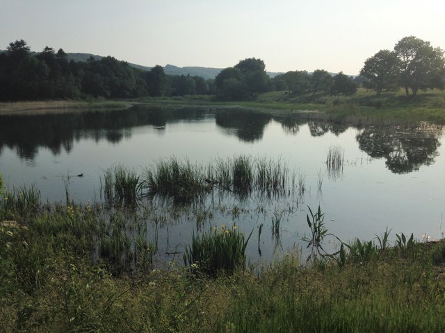
Covered in lush green grass and scattered with wildflowers, Barlavington Down boasts a diverse range of flora and fauna. The hill is home to a variety of wildlife, including rabbits, foxes, and numerous bird species. It is also known for its rich archaeological history, with evidence of human habitation dating back to the Bronze Age.

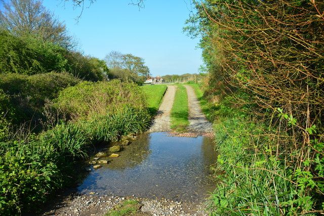
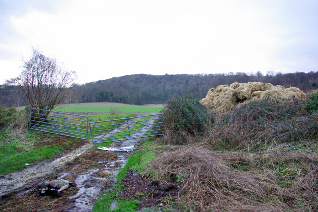
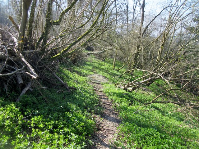
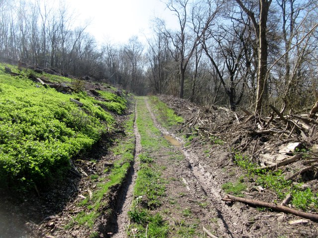
Visitors to Barlavington Down can enjoy a range of activities, such as hiking, birdwatching, and picnicking. There are well-maintained footpaths that crisscross the hill, offering different routes for exploration. These paths provide access to the summit, where visitors can appreciate the breathtaking views of the rolling hills, woodlands, and open fields.

The area surrounding Barlavington Down is a designated Area of Outstanding Natural Beauty, ensuring its preservation and protection. The hill is also a popular spot for paragliding enthusiasts, who take advantage of the favorable wind conditions and the incredible vistas.

Barlavington Down is easily accessible by car, with parking available nearby. It offers a tranquil escape from the hustle and bustle of city life, providing visitors with an opportunity to connect with nature and enjoy the beauty of the Sussex countryside.

If you have any feedback on the listing, please let us know in the comments section below.

Barlavington Down Images

Images are sourced within 2km of 50.931841/-0.63269629 or Grid Reference SU9615. Thanks to Geograph Open Source API. All images are credited.
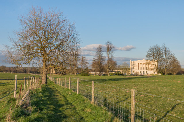
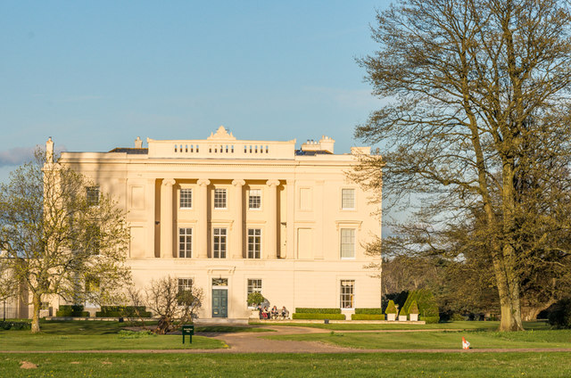
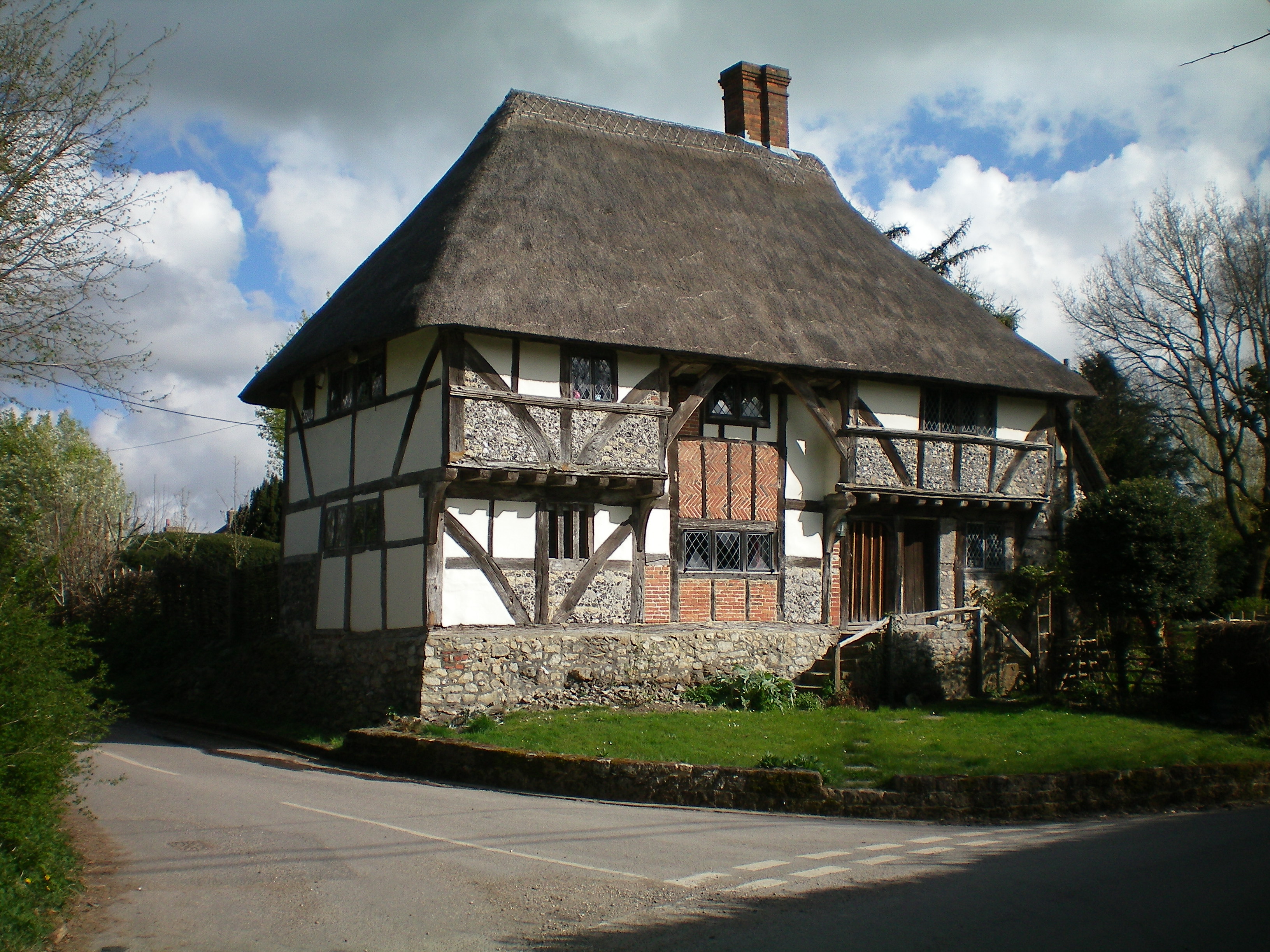
View north from the South Downs Way The A285 passes through the dip in the Downs that you can see in the photo.
View north from the South Downs Way
The A285 passes through the dip in the Downs that you can see in the photo.
View NW towards Littleton Farm and beyond
Littleton Farm
Littleton Farm
Dog Kennel Cottages
Dog Kennel Cottages
Tracks in the stubble This vivid yellow stubble is common hereabouts. I'm not sure what the crop was.
Tracks in the stubble
This vivid yellow stubble is common hereabouts. I'm not sure what the crop was.
View from Duncton Hill View Point
Bracket fungus on a tree stump
Burton House Originally built in 1831 as a private residence for Henry Bassett, Burton Park [House] served for many years as a girl's school - St Michael's. The mansion, like many others in West Sussex, has been converted into luxury housing. Many of the grandest rooms in the building are now incorporated into spectacular apartments - and a cluster of very attractive houses have been built to the north and east of the building. [taken from WestSussex.info]
Burton House
Originally built in 1831 as a private residence for Henry Bassett, Burton Park [House] served for many years as a girl's school - St Michael's. The mansion, like many others in West Sussex, has been converted into luxury housing. Many of the grandest rooms in the building are now incorporated into spectacular apartments - and a cluster of very attractive houses have been built to the north and east of the building. [taken from WestSussex.info]
Burton Park Grade I listed mansion built in 1828 by architect Henry Bassett.  It was a private house until the Second World War, when it was requisitioned by the army.  After the war it housed a girls boarding scheme, St Michael's, until the 1980s, before becoming a police dog training centre.  In 1997 it was converted into apartments.

For listing particulars see <span class="nowrap"><a title="http://www.historicengland.org.uk/listing/the-list/list-entry/1274798" rel="nofollow ugc noopener" href="http://www.historicengland.org.uk/listing/the-list/list-entry/1274798">Link</a><img style="margin-left:2px;" alt="External link" title="External link - shift click to open in new window" src="https://s1.geograph.org.uk/img/external.png" width="10" height="10"/></span>.
Burton Park
Grade I listed mansion built in 1828 by architect Henry Bassett. It was a private house until the Second World War, when it was requisitioned by the army. After the war it housed a girls boarding scheme, St Michael's, until the 1980s, before becoming a police dog training centre. In 1997 it was converted into apartments. For listing particulars see LinkExternal link.
Burton Park Parkland in the Burton Park estate (see <a href="https://www.geograph.org.uk/photo/4693325">SU9617 : Burton Park</a>), with Duncton Down on the South Downs in the background.
Burton Park
Parkland in the Burton Park estate (see SU9617 : Burton Park), with Duncton Down on the South Downs in the background.
Chingford Pond Situated within Burton Park just south west of Burton Mill Pond. It is designated a Sight Of Nature Conservation.
Chingford Pond
Situated within Burton Park just south west of Burton Mill Pond. It is designated a Sight Of Nature Conservation.
Glatting Farm Ford This bridleway ford is found in the entrance to Glatting Farm.
Glatting Farm Ford
This bridleway ford is found in the entrance to Glatting Farm.
The Cricketers, Duncton
Field entrance off Glatting Lane
Bridleway to A285 Public bridleway 710. This section of the way needs a bit of attention. For safety reasons it is preferable to use the alternative forest track.
Bridleway to A285
Public bridleway 710. This section of the way needs a bit of attention. For safety reasons it is preferable to use the alternative forest track.
Forest track, Duncton Hanger Route to A285.
Forest track, Duncton Hanger
Route to A285.
Bridleway through clearing Public bridleway 710 to Barlavington.
Bridleway through clearing
Public bridleway 710 to Barlavington.
Show me another place!

Barlavington Down is located at Grid Ref: SU9615 (Lat: 50.931841, Lng: -0.63269629)

Administrative County: West Sussex

District: Chichester

Police Authority: Sussex

What 3 Words

///frail.seat.remains. Near Petworth, West Sussex

Related Wikis

Barlavington

Barlavington is a small village and civil parish in the Chichester district of West Sussex, England. The village is situated about four miles (6.4 km)...

Duncton to Bignor Escarpment

Duncton to Bignor Escarpment is a 229-hectare (570-acre) biological Site of Special Scientific Interest west of Pulborough in West Sussex. It is a Special...

Duncton

Duncton is a village and civil parish in the District of Chichester in West Sussex, England. The village is in the South Downs 3 miles (5 km) south of...

East Lavington

East Lavington, formerly Woolavington, is a village and civil parish in the District of Chichester in West Sussex, England. It is located six kilometres...

Sutton, West Sussex

Sutton is a village and civil parish in the District of Chichester in West Sussex, England, located six kilometres (4 miles) south of Petworth and east...

Burton Park

Burton Park is a 19th-century country house in the civil parish of Duncton in West Sussex, and is situated 1/2 a mile to the east of the village of Duncton...

Bignor

Bignor is a village and civil parish in the Chichester district of the English county of West Sussex, about six miles (9.7 km) north of Arundel. It is...

Burton Park SSSI

Burton Park SSSI is a 57.7-hectare (143-acre) biological Site of Special Scientific Interest west of Pulborough in West Sussex. A larger area of 63 hectares...

Nearby Amenities

Located within 500m of 50.931841,-0.63269629
Barlavington Down
Natural: peak
Source: npe
Lat/Long: 50.9321447/-0.6321551
Power: pole
Lat/Long: 50.9275294/-0.634498
Power: pole
Lat/Long: 50.9281701/-0.63265
Power: pole
Lat/Long: 50.9288091/-0.6308153
Power: pole
Lat/Long: 50.9292216/-0.6295949
Power: pole
Lat/Long: 50.9294042/-0.6272694
Duncton Down
Place: locality
Source: OS_OpenData_StreetView
Lat/Long: 50.9323338/-0.6381941
The data included in this document is from www.openstreetmap.org. The data is made available under ODbL.

Have you been to Barlavington Down?

Leave your review of Barlavington Down below (or comments, questions and feedback).