Barlavington Down
Downs, Moorland in Sussex Chichester
England
Barlavington Down
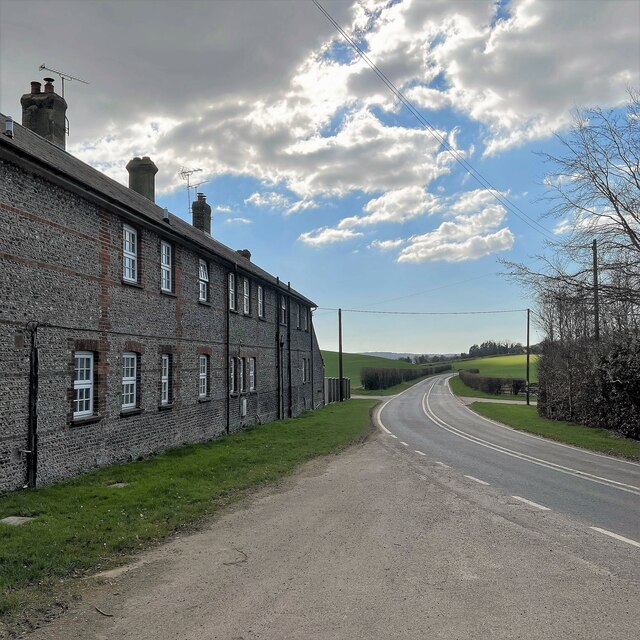
Barlavington Down is a prominent natural feature located in the county of Sussex, England. It is part of the South Downs National Park and covers an expansive area of downs and moorland. The down is situated near the village of Barlavington, which is approximately 5 miles north of the town of Petworth.
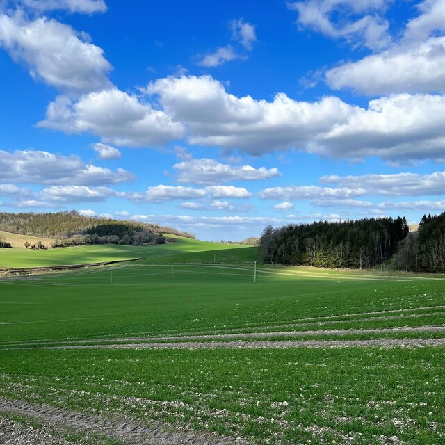
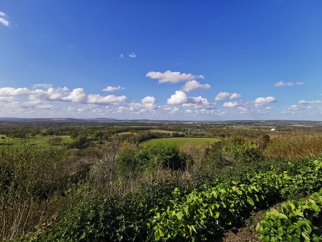
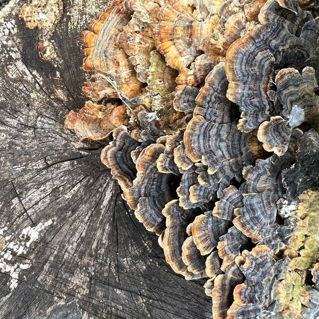
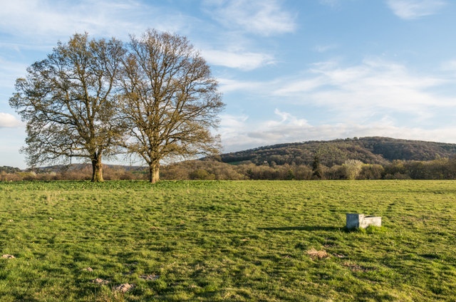
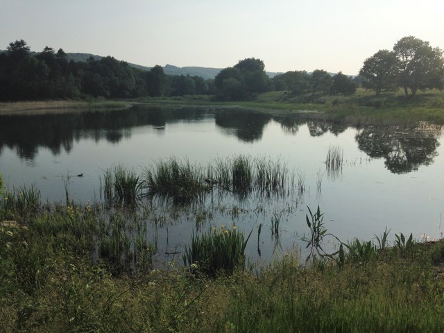
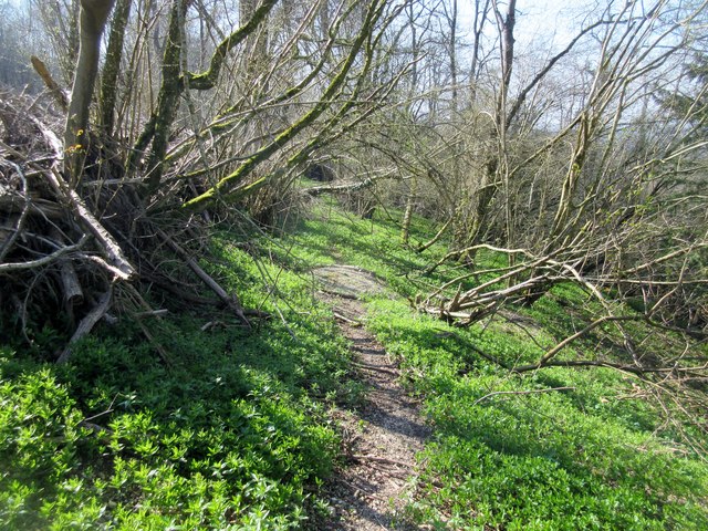
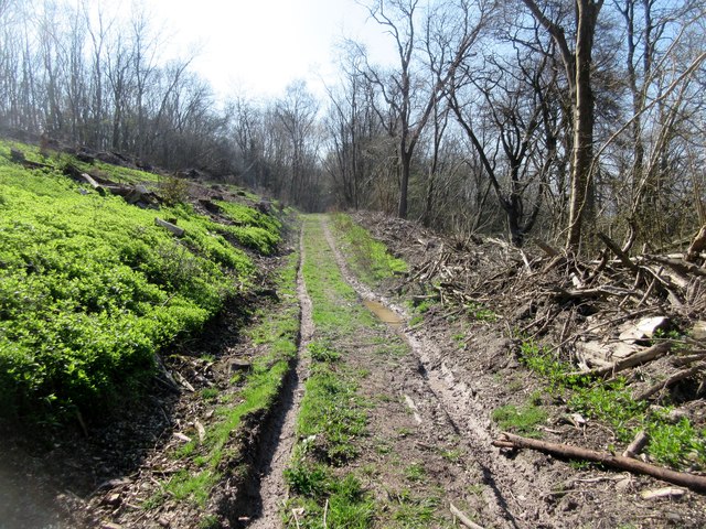
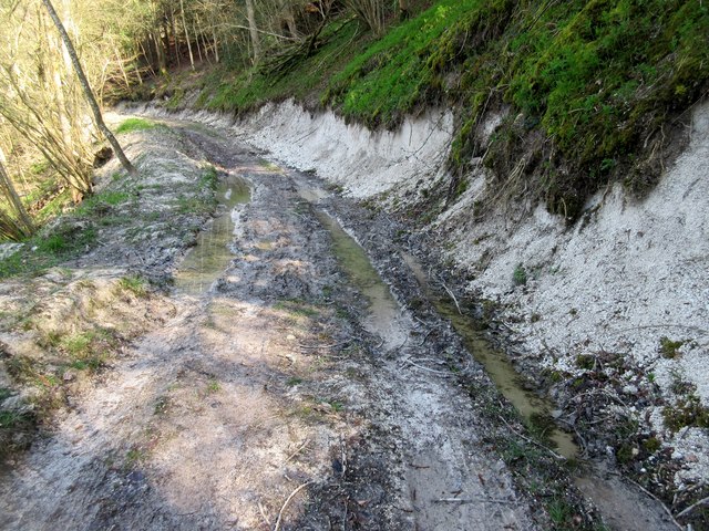
The landscape of Barlavington Down is characterized by rolling hills, open grasslands, and heathland, offering breathtaking panoramic views of the surrounding countryside. It is a haven for wildlife, with a diverse range of flora and fauna. The grassland supports a variety of wildflowers, including orchids, and attracts numerous species of butterflies and other insects.
The area is also home to a range of bird species, including skylarks, meadow pipits, and kestrels. Visitors can often spot these birds soaring above the open spaces or perched on fence posts and trees. Additionally, the down provides habitat for small mammals like voles, shrews, and rabbits.
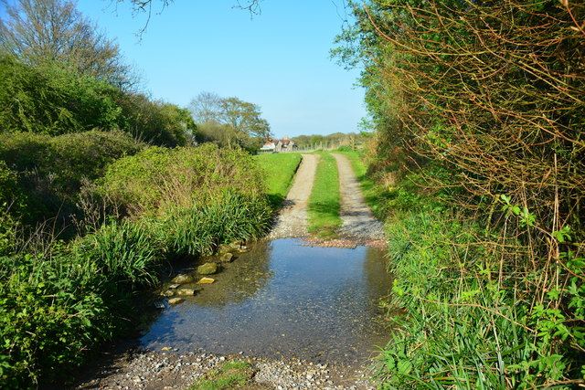
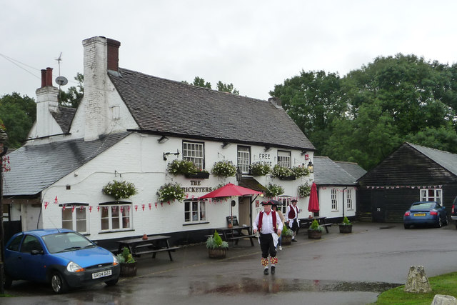
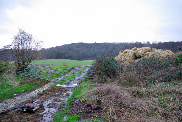
Barlavington Down is a popular destination for outdoor enthusiasts, offering opportunities for walking, hiking, and nature exploration. There are several well-maintained footpaths and trails that crisscross the area, allowing visitors to fully immerse themselves in the natural beauty of the downs. The serene and tranquil atmosphere makes it an ideal spot for picnicking and enjoying the peaceful surroundings.
Overall, Barlavington Down is a cherished natural asset in Sussex, providing a haven for wildlife, stunning vistas, and an opportunity to experience the wonders of the South Downs National Park.
If you have any feedback on the listing, please let us know in the comments section below.
Barlavington Down Images
Images are sourced within 2km of 50.930981/-0.63296343 or Grid Reference SU9615. Thanks to Geograph Open Source API. All images are credited.


Barlavington Down is located at Grid Ref: SU9615 (Lat: 50.930981, Lng: -0.63296343)
Administrative County: West Sussex
District: Chichester
Police Authority: Sussex
What 3 Words
///occupiers.misted.cries. Near Petworth, West Sussex
Nearby Locations
Related Wikis

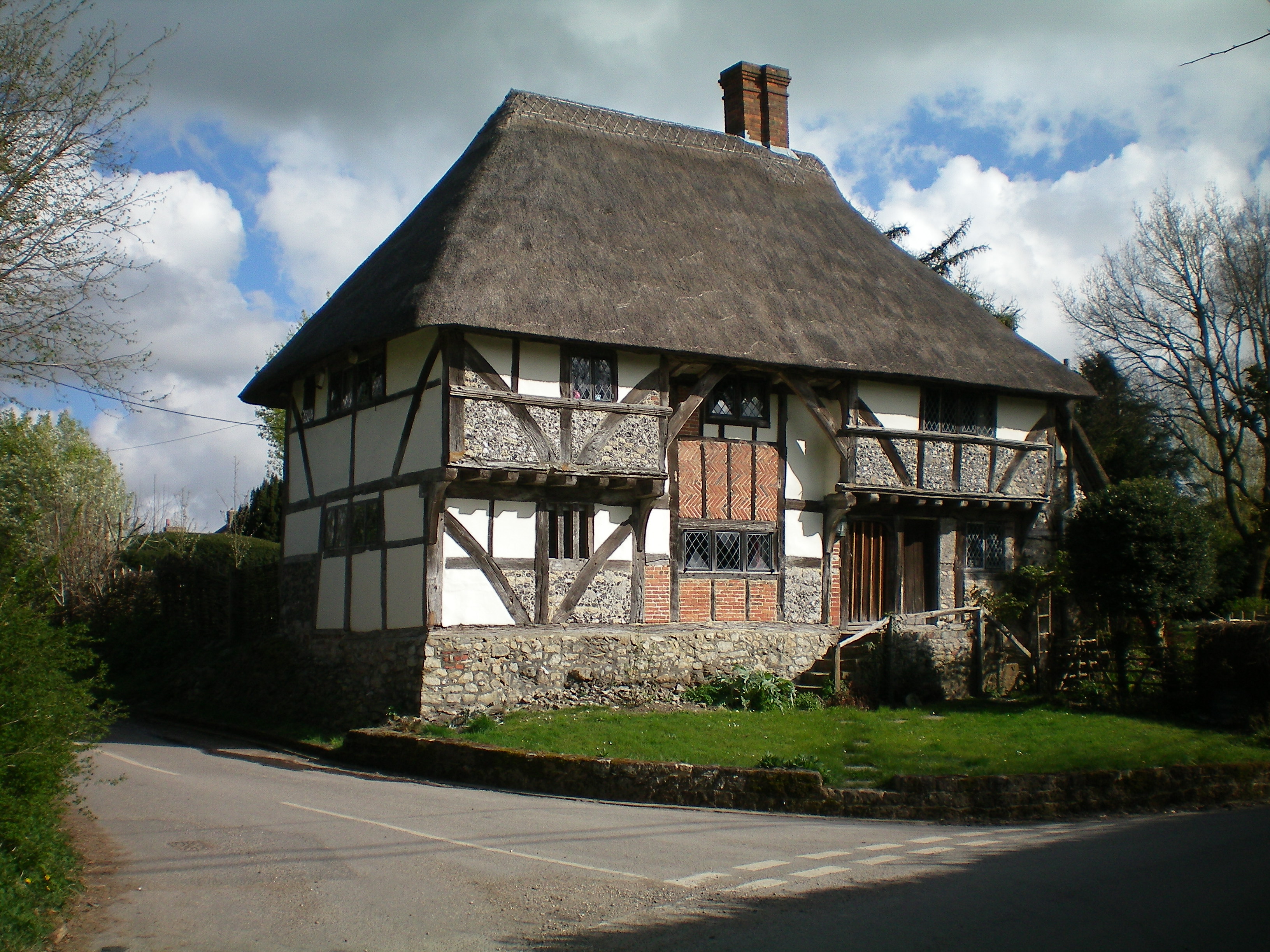
Barlavington
Barlavington is a small village and civil parish in the Chichester district of West Sussex, England. The village is situated about four miles (6.4 km)...

Duncton to Bignor Escarpment
Duncton to Bignor Escarpment is a 229-hectare (570-acre) biological Site of Special Scientific Interest west of Pulborough in West Sussex. It is a Special...

East Lavington
East Lavington, formerly Woolavington, is a village and civil parish in the District of Chichester in West Sussex, England. It is located six kilometres...
Duncton
Duncton is a village and civil parish in the District of Chichester in West Sussex, England. The village is in the South Downs 3 miles (5 km) south of...

Sutton, West Sussex
Sutton is a village and civil parish in the District of Chichester in West Sussex, England, located six kilometres (4 miles) south of Petworth and east...

Burton Park
Burton Park is a 19th-century country house in the civil parish of Duncton in West Sussex, and is situated 1/2 a mile to the east of the village of Duncton...
Bignor
Bignor is a village and civil parish in the Chichester district of the English county of West Sussex, about six miles (9.7 km) north of Arundel. It is...

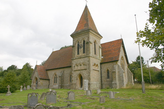
Upwaltham
Upwaltham is a scattered settlement and civil parish in the South Downs, in the District of Chichester of West Sussex, England. It surrounds a parish church...
Nearby Amenities
Located within 500m of 50.930981,-0.63296343Have you been to Barlavington Down?
Leave your review of Barlavington Down below (or comments, questions and feedback).