Ashton
Settlement in Renfrewshire
Scotland
Ashton
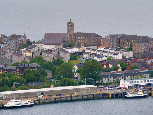
Ashton is a small village located in the council area of Renfrewshire, Scotland. Situated approximately 10 miles southwest of Glasgow, it is nestled in the picturesque countryside, offering a tranquil and peaceful environment for its residents.
The village itself is relatively small, with a population of around 1,000 people. It maintains a close-knit community atmosphere, with friendly locals and a strong sense of community spirit. Ashton is known for its charming traditional architecture, including a number of stone-built houses and cottages that add to the village's character.
Although Ashton is primarily a residential area, it benefits from its proximity to nearby towns and cities. Glasgow's vibrant city center is easily accessible, providing residents with a wide range of amenities and employment opportunities. In addition, the village is surrounded by beautiful countryside, offering ample opportunities for outdoor activities such as hiking, cycling, and bird-watching.
Ashton is well-served by public transportation, with regular bus services connecting the village to neighboring towns and cities. The village also has a primary school, ensuring that families have access to quality education within the local area.
With its idyllic setting, close community ties, and convenient access to urban amenities, Ashton offers a desirable place to live for those seeking a peaceful village lifestyle while remaining well-connected to nearby urban centers.
If you have any feedback on the listing, please let us know in the comments section below.
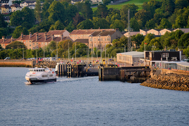
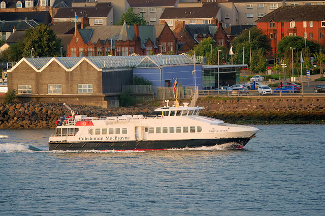
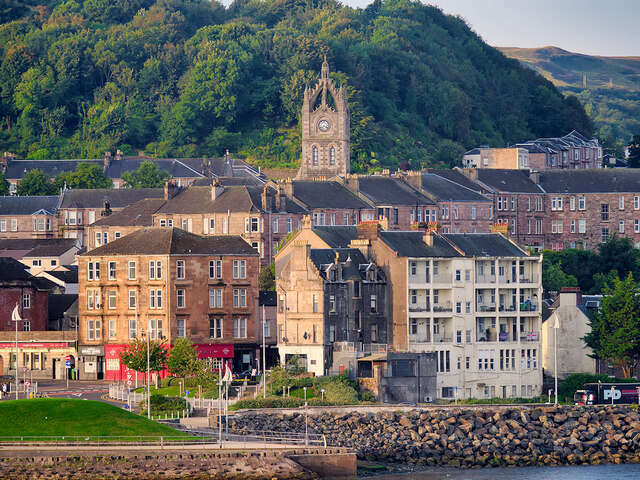
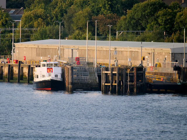
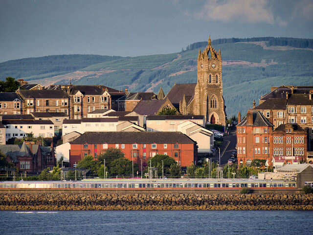
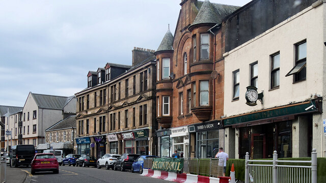
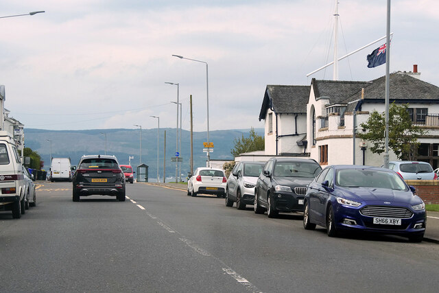
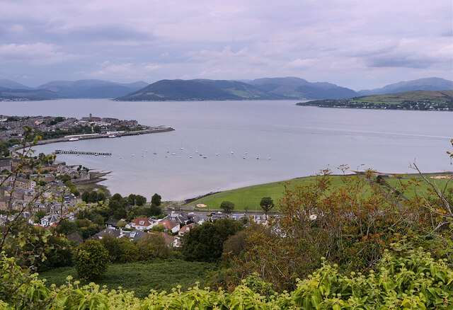
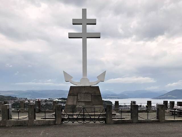
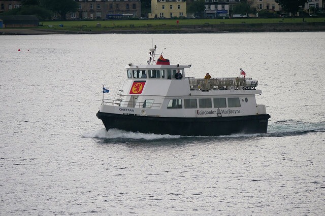
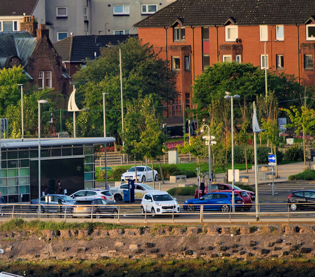
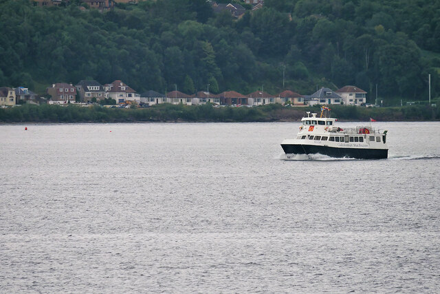
Ashton Images
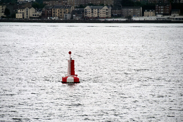
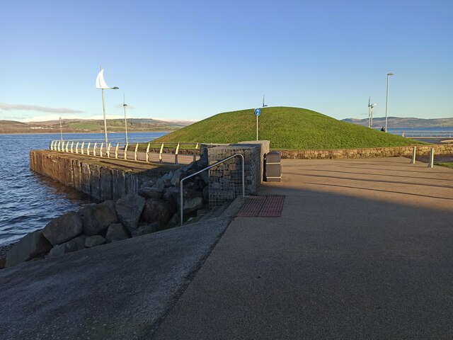
Images are sourced within 2km of 55.955932/-4.8266241 or Grid Reference NS2377. Thanks to Geograph Open Source API. All images are credited.
Ashton is located at Grid Ref: NS2377 (Lat: 55.955932, Lng: -4.8266241)
Unitary Authority: Inverclyde
Police Authority: Renfrewshire and Inverclyde
What 3 Words
///circulate.apron.meanest. Near Gourock, Inverclyde
Nearby Locations
Related Wikis

Cragburn Pavilion
The Cragburn Pavilion was built in Gourock in 1935-6 by J. & J.A. Carrick, in brick and stucco with prominent art deco fluting along its front North-facing...
Gourock High School
Gourock High School was a non-denominational comprehensive school catering for boys and girls, 11–18 years of age, in Gourock, Renfrewshire, Scotland....
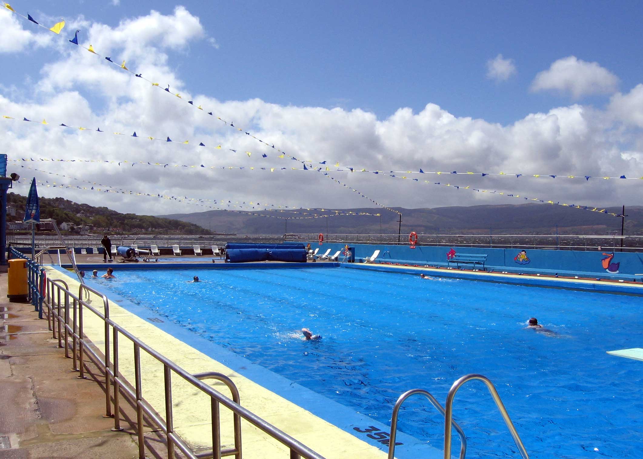
Gourock Outdoor Pool
Gourock Outdoor Pool is a salt water public lido in Gourock, Inverclyde, Scotland. It is the oldest heated swimming pool in Scotland. == Description... ==

Gourock
Gourock ( GOOR-ək; Scottish Gaelic: Guireag [ˈkuɾʲak]) is a town in the Inverclyde council area and formerly a burgh of the County of Renfrew in the west...

Granny Kempock Stone
The megalithic Kempock Stone, popularly known as Granny Kempock (perhaps because of its resemblance to an old woman), stands on a cliff behind Kempock...
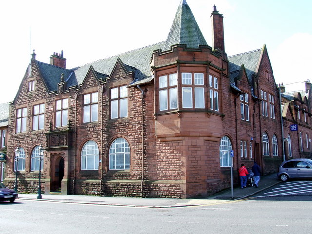
Municipal Buildings, Gourock
The Municipal Buildings are based in Shore Street, Gourock, Inverclyde, Scotland. The structure, which is used as a business centre, is a Category C listed...

Gourock railway station
Gourock railway station is a terminus of the Inverclyde Line, located at Gourock pierhead, Scotland, and serves the town as well as the ferry services...
Larkfield, Greenock
Larkfield is the largest council housing estate in Greenock, Inverclyde, Scotland. == Geography == The estate is named after Larkfield Farm, Larkfield...
Nearby Amenities
Located within 500m of 55.955932,-4.8266241Have you been to Ashton?
Leave your review of Ashton below (or comments, questions and feedback).