Ashtead
Settlement in Surrey Mole Valley
England
Ashtead
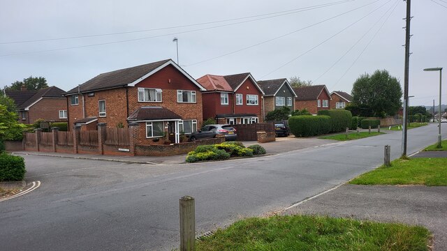
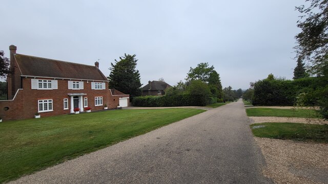
Ashtead is a charming village located in the county of Surrey, England. Situated just 16 miles south-west of London, it is part of the Mole Valley district. With a population of around 14,100 residents, Ashtead offers a peaceful and idyllic setting, while still benefiting from its close proximity to the capital.
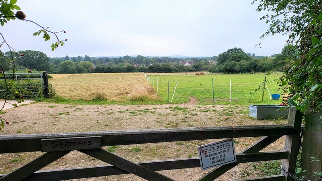
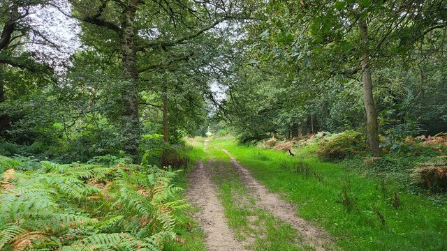
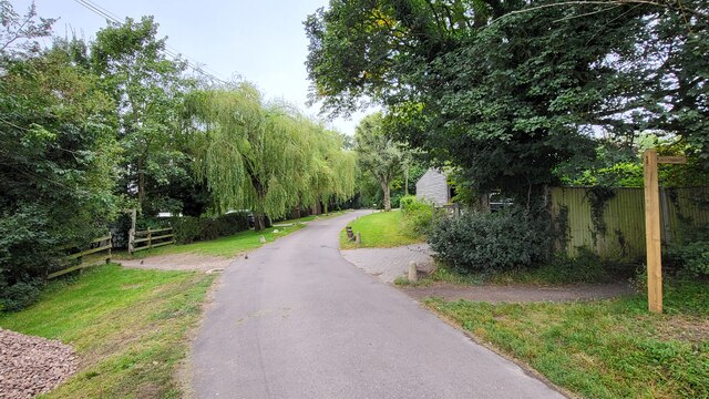
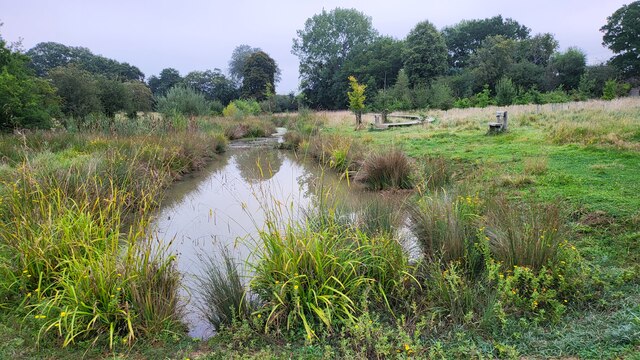
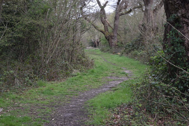
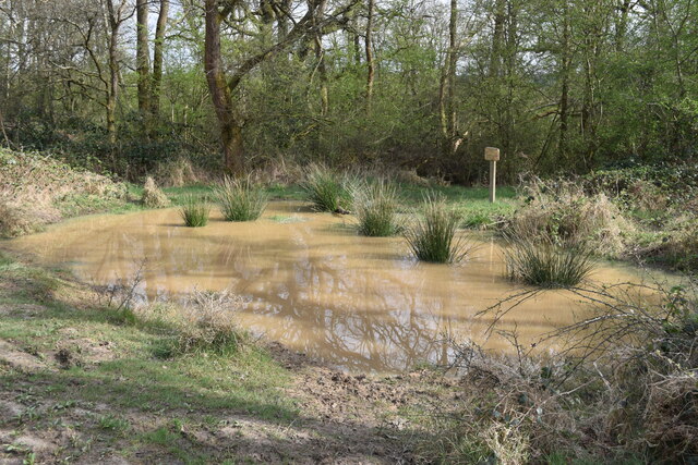
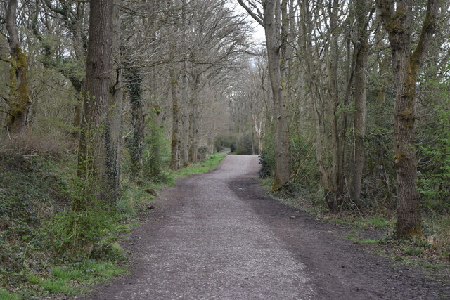
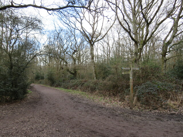
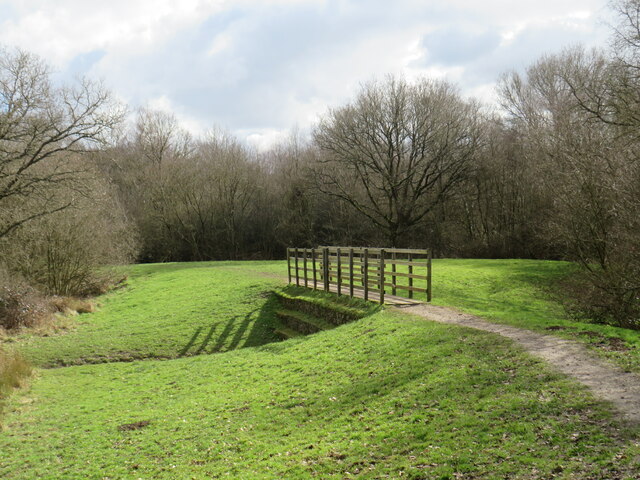
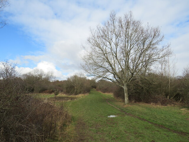
The village is renowned for its beautiful green spaces, including Ashtead Common, a vast area of ancient woodland and heathland that provides a haven for wildlife and a popular spot for outdoor activities such as walking and cycling. Ashtead Park, a historic mansion surrounded by picturesque gardens, is another highlight of the area.
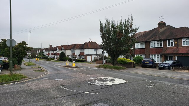
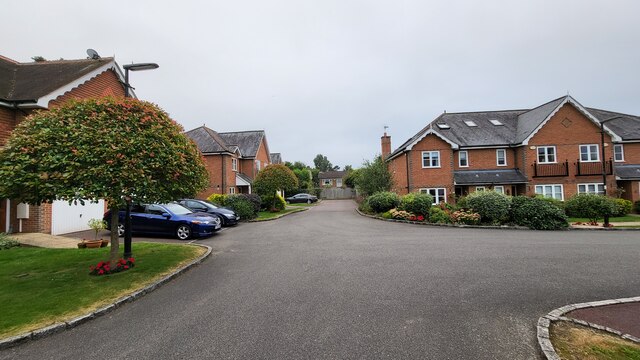
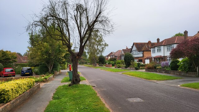
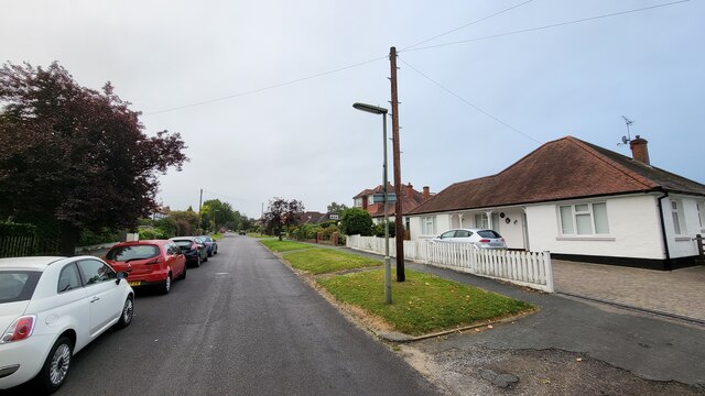
Ashtead's village center has a traditional and quaint atmosphere, with a variety of local shops, cafes, and restaurants that cater to its residents' needs. The village also boasts several historical landmarks, such as St Giles' Church, a Grade I listed building dating back to the 12th century, and the Ashtead Peace Memorial Hall, a community center that hosts numerous events and activities.
Transportation in Ashtead is convenient, with regular train services from Ashtead railway station connecting residents to London and other nearby towns. The village is also well-served by bus routes, making it easily accessible for both residents and visitors.
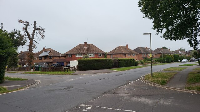
Ashtead offers an excellent quality of life, with highly regarded schools, a strong sense of community, and a range of recreational facilities. Its close proximity to London, beautiful natural surroundings, and charming village center make it a highly sought-after place to live.
If you have any feedback on the listing, please let us know in the comments section below.
Ashtead Images
Images are sourced within 2km of 51.312818/-0.30401 or Grid Reference TQ1858. Thanks to Geograph Open Source API. All images are credited.

Ashtead is located at Grid Ref: TQ1858 (Lat: 51.312818, Lng: -0.30401)
Administrative County: Surrey
District: Mole Valley
Police Authority: Surrey
What 3 Words
///plenty.below.award. Near Ashtead, Surrey
Nearby Locations
Related Wikis

Epsom Rural District
Epsom was a rural district of Surrey from 1894 to 1933. It was created in 1894 and covered the area of the formed Epsom Rural Sanitary District – i.e....

Ashtead
Ashtead is a large village in the Mole Valley district of Surrey, England, approximately 15.5 mi (25 km) south of central London. Primarily a commuter...
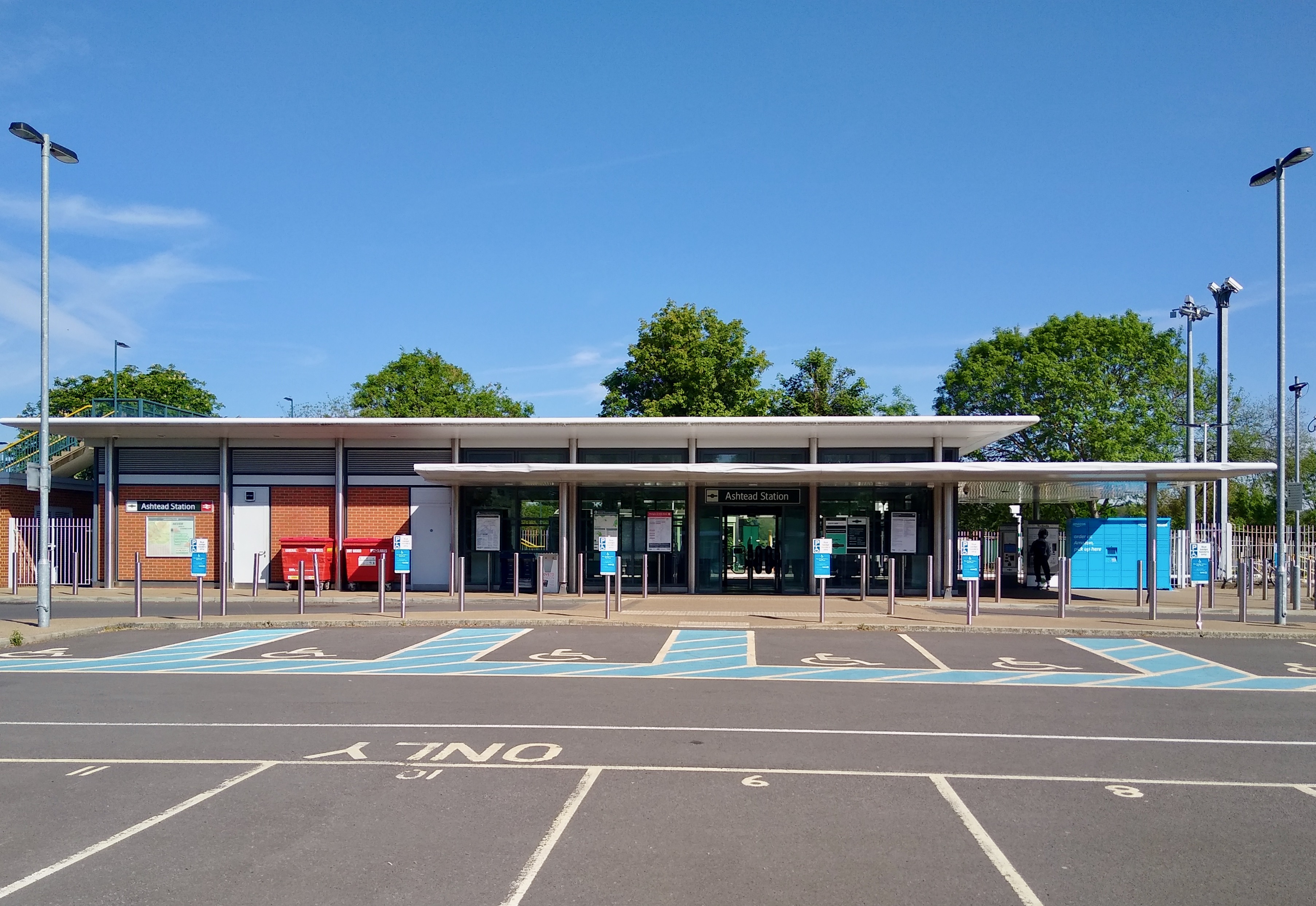
Ashtead railway station
Ashtead railway station is in Ashtead, Surrey, England. It is 16 miles 19 chains (26.1 km) down the line from London Waterloo. == History == Designed by...
Parsons Mead School
Parsons Mead School was a private girls school founded by Jessie Elliston in Ashtead, Surrey, England, which existed from 1897 to 2006. == Founder == Jessie...
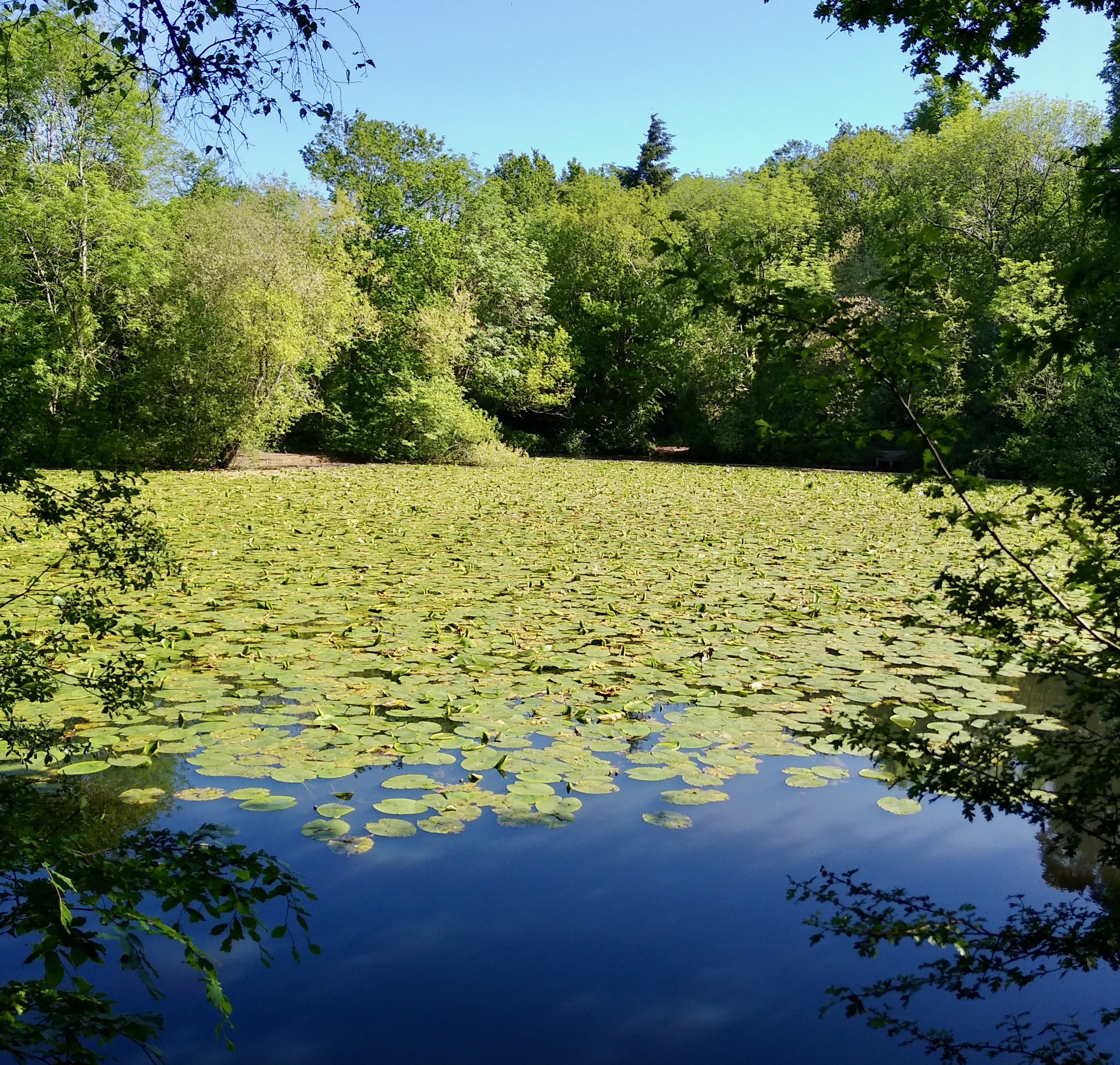
Ashtead Park
Ashtead Park is a 24.2-hectare (60-acre) Local Nature Reserve in Ashtead in Surrey. It is owned by Mole Valley District Council. It contains several important...

City of London Freemen's School
City of London Freemen's School (CLFS) is a co-educational private school for day and boarding pupils, located at Ashtead Park in Surrey, England. It is...
St Andrew's Catholic School
St Andrew's Catholic School is a Christian secondary school and sixth form college in Grange Road, Ottways Lane, Leatherhead, close to the town of Epsom...

Ashtead Common
Ashtead Common, nearly 495 acres (c. 200 ha), is a wooded area open to the public, to the north of the village of Ashtead in Surrey, England. It is owned...
Nearby Amenities
Located within 500m of 51.312818,-0.30401Have you been to Ashtead?
Leave your review of Ashtead below (or comments, questions and feedback).