Ashridge Court
Settlement in Devon West Devon
England
Ashridge Court
Ashridge Court is a historic country estate located in the picturesque rural area of Devon, England. Situated amidst stunning landscaped gardens and sprawling parklands, this grand manor house offers a glimpse into the region's rich cultural heritage.
The origins of Ashridge Court can be traced back to the 13th century, with its earliest recorded history dating back to 1285. Over the centuries, the estate has undergone various transformations, resulting in the magnificent structure that stands today. The architectural style of the house reflects a blend of Gothic and Jacobean influences, showcasing intricate detailing and elegant proportions.
The estate covers a vast area of approximately 200 acres, featuring beautifully manicured gardens and woodlands. Visitors can explore the enchanting walled gardens, adorned with vibrant flowers and ornamental shrubs. The parklands surrounding the estate provide a tranquil setting for leisurely walks, with ancient trees and rolling meadows creating a serene ambiance.
Ashridge Court is also renowned for its historical significance. It has been associated with several notable figures throughout history, including the influential Bassett family. The estate has witnessed significant events and played a role in various periods of British history.
Today, Ashridge Court is open to the public, offering guided tours of the house and grounds. It also serves as a venue for weddings, corporate events, and cultural exhibitions. Visitors can experience the splendor of the estate and immerse themselves in its rich heritage, making it a must-visit destination for history enthusiasts and nature lovers alike.
If you have any feedback on the listing, please let us know in the comments section below.
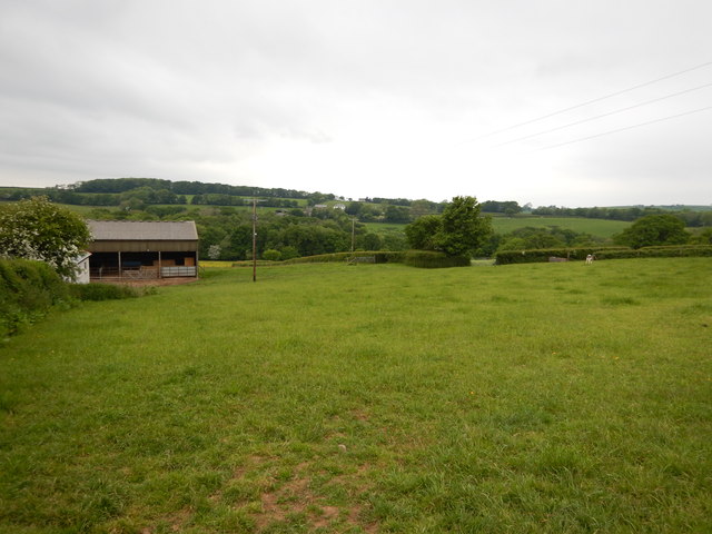
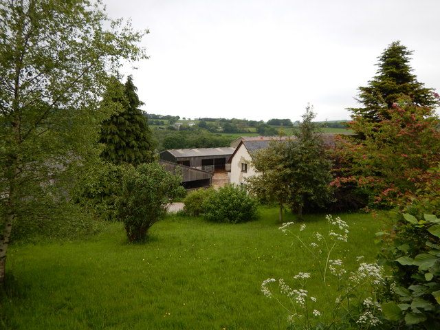
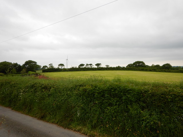
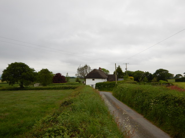
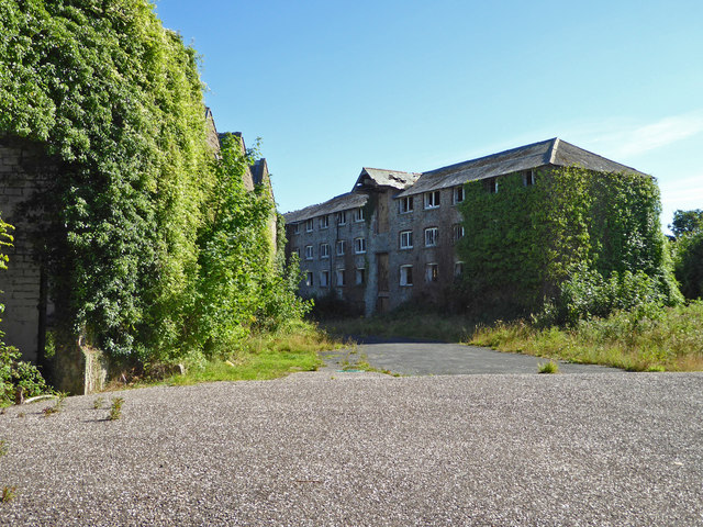
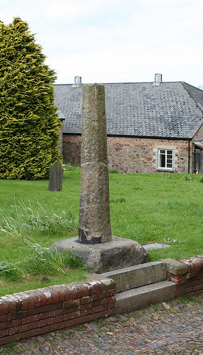
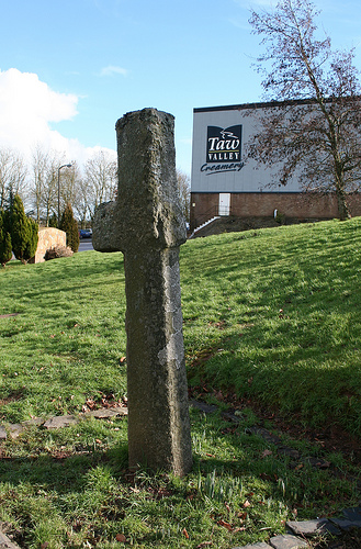
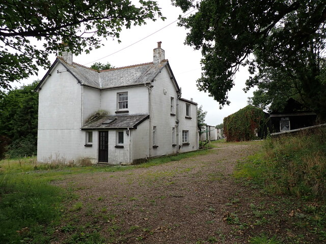
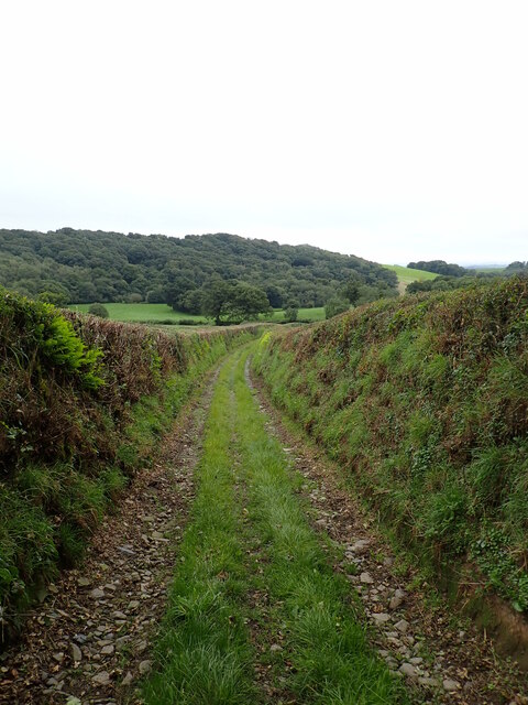
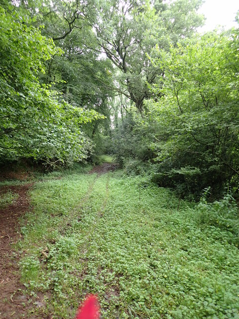
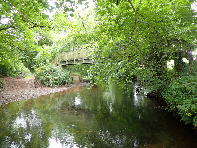
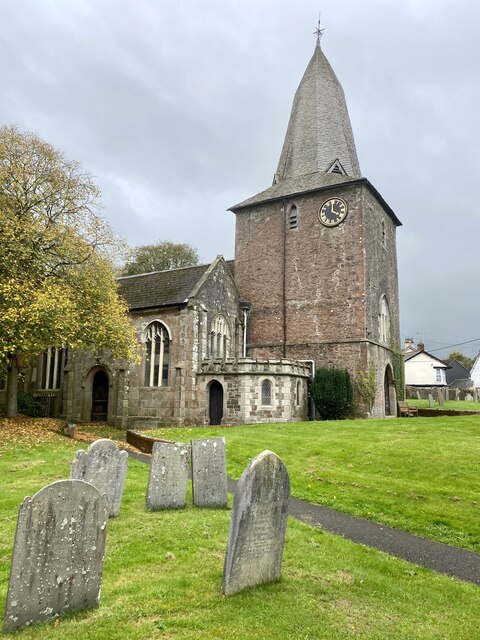
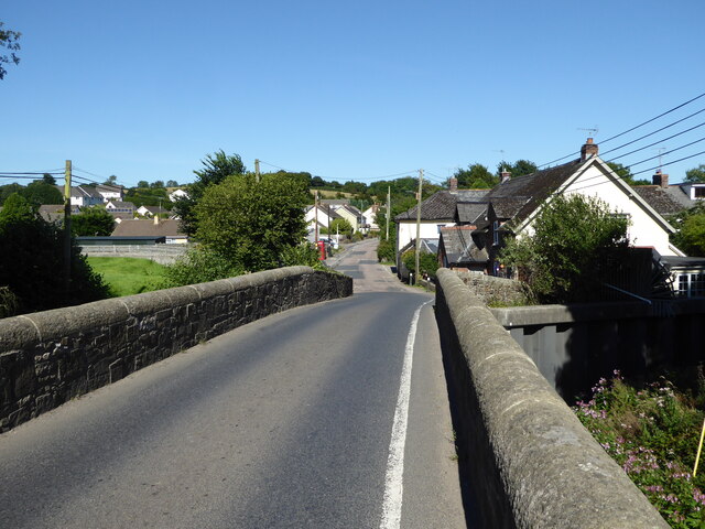
Ashridge Court Images
Images are sourced within 2km of 50.811008/-3.9033249 or Grid Reference SS6603. Thanks to Geograph Open Source API. All images are credited.


Ashridge Court is located at Grid Ref: SS6603 (Lat: 50.811008, Lng: -3.9033249)
Administrative County: Devon
District: West Devon
Police Authority: Devon and Cornwall
What 3 Words
///shrimp.wildfires.speeches. Near North Tawton, Devon
Nearby Locations
Related Wikis

South West Peninsula
The South West Peninsula is the area of England between the Bristol Channel to the north and the English Channel to the south. It is part of the South...

North Tawton
North Tawton is a small town in Devon, England, situated on the river Taw. It is administered by West Devon Council. The population of the electoral...

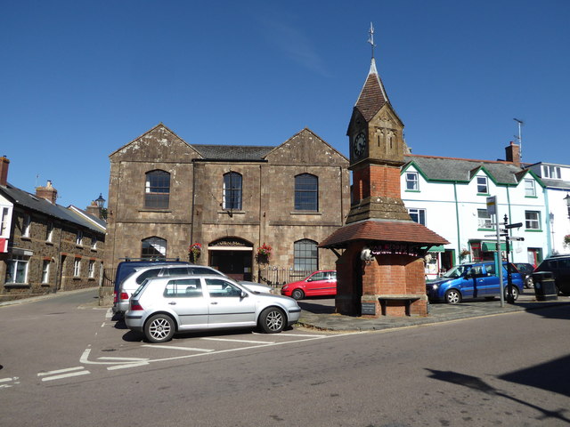
North Tawton Town Hall
North Tawton Town Hall is a municipal building in The Square, North Tawton, Devon, England. The town hall, which is used for public events, is a Grade...
Court Green
Court Green is a house on Essington Road in North Tawton, Devon, England. It was the home the poets Ted Hughes and Sylvia Plath moved to in late August...

Bondleigh
Bondleigh is a village and civil parish in the West Devon district of Devon, England, on the River Taw, north of North Tawton. According to the 2011 census...

Battle of Sampford Courtenay
The Battle of Sampford Courtenay was one of the chief military engagements in the Western Rebellion of 1549. == Preparations == By mid August 1549, Humphrey...

North Tawton railway station
North Tawton railway station was a railway station serving the town of North Tawton in Devon, England. North Tawton lies on the River Taw. == History... ==

Honeychurch, Devon
Honeychurch is a village and former civil parish now in the parish of Sampford Courtenay, in the West Devon district of the English county of Devon. It...
Nearby Amenities
Located within 500m of 50.811008,-3.9033249Have you been to Ashridge Court?
Leave your review of Ashridge Court below (or comments, questions and feedback).