Ashridge Wood

Wood, Forest in Devon West Devon

England

Ashridge Wood

Ordnance Survey Flush Bracket S5177 This can be found on the wall of The Town Hall in North Tawton.
For more detail see : <span class="nowrap"><a title="http://www.bench-marks.org.uk/bm20808" rel="nofollow ugc noopener" href="http://www.bench-marks.org.uk/bm20808">Link</a><img style="margin-left:2px;" alt="External link" title="External link - shift click to open in new window" src="https://s1.geograph.org.uk/img/external.png" width="10" height="10"/></span>
Ordnance Survey Flush Bracket S5177 Credit: Peter Wood

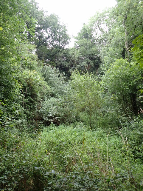
Ashridge Wood, located in the county of Devon, is a picturesque woodland area renowned for its natural beauty and rich biodiversity. Covering approximately 1,250 acres, it is one of the largest and most significant woodlands in the region. Ashridge Wood is situated near the village of North Tawton, offering a tranquil escape from the hustle and bustle of everyday life.

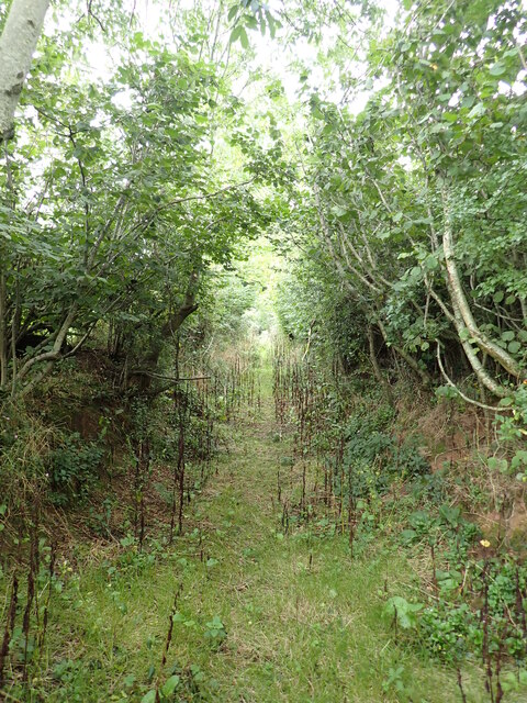
The woodland is characterized by its dense canopy of predominantly oak and beech trees, creating a captivating and enchanting atmosphere. The forest floor is adorned with a carpet of bluebells during the springtime, adding a splash of vibrant color to the surroundings.

Ashridge Wood is home to a diverse array of wildlife, making it a haven for nature enthusiasts and wildlife photographers. Red deer, roe deer, badgers, and foxes are among the many inhabitants of the woodland. Birdwatchers can delight in spotting species such as woodpeckers, owls, and various songbirds.

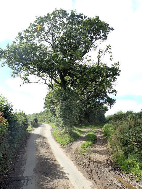
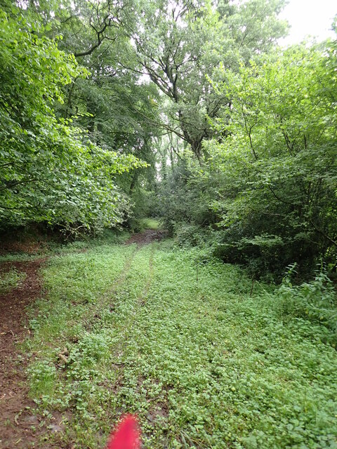
The wood has a network of well-maintained footpaths and trails, making it accessible for visitors of all ages and fitness levels. These paths wind through the wood, allowing visitors to explore its hidden corners and discover its natural wonders. The wood also has a picnic area, providing a perfect spot for enjoying a packed lunch amidst the serenity of nature.

With its stunning scenery, diverse wildlife, and peaceful ambiance, Ashridge Wood is a popular destination for walkers, nature lovers, and families seeking a day out in the great outdoors. Whether strolling through the ancient woodland or simply relaxing amidst the tranquil surroundings, a visit to Ashridge Wood is sure to be a memorable experience.

If you have any feedback on the listing, please let us know in the comments section below.

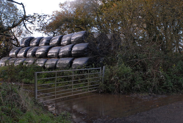
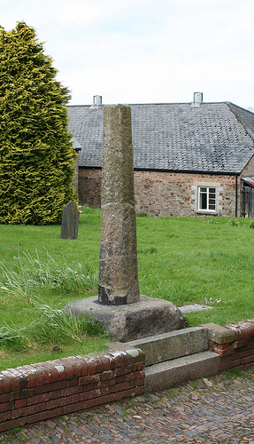
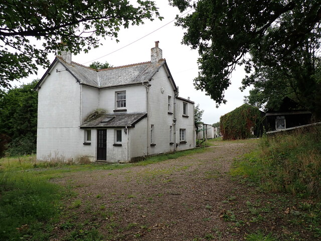
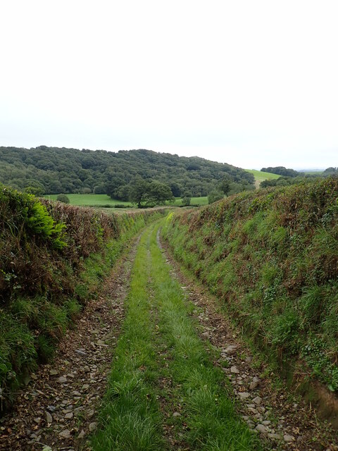
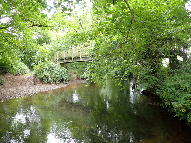
Ashridge Wood Images

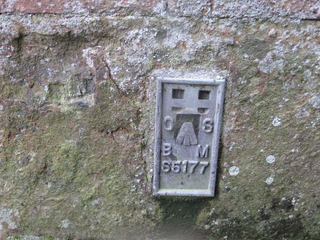
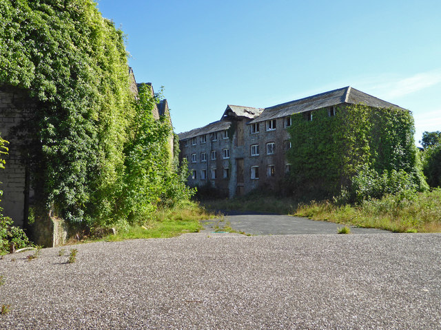
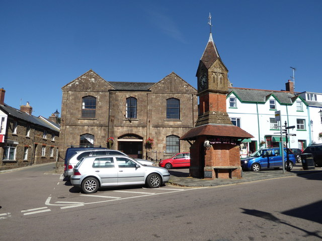
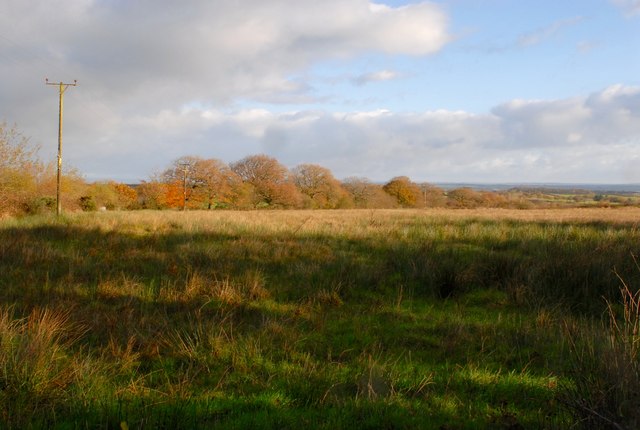
Images are sourced within 2km of 50.812684/-3.8953728 or Grid Reference SS6603. Thanks to Geograph Open Source API. All images are credited.

Ordnance Survey Flush Bracket S5177 This can be found on the wall of The Town Hall in North Tawton.
For more detail see : <span class="nowrap"><a title="http://www.bench-marks.org.uk/bm20808" rel="nofollow ugc noopener" href="http://www.bench-marks.org.uk/bm20808">Link</a><img style="margin-left:2px;" alt="External link" title="External link - shift click to open in new window" src="https://s1.geograph.org.uk/img/external.png" width="10" height="10"/></span>
Ordnance Survey Flush Bracket S5177
This can be found on the wall of The Town Hall in North Tawton. For more detail see : LinkExternal link
North Tawton - derelict textile mill This former serge and woollen mill has lain empty for many years. There are extensive north light sheds on the left and a four storey block on the right. This is the view from the public side of the gate into the site. The site was driven by a large waterwheel and a beam engine but I resisted the temptation to explore further.
North Tawton - derelict textile mill
This former serge and woollen mill has lain empty for many years. There are extensive north light sheds on the left and a four storey block on the right. This is the view from the public side of the gate into the site. The site was driven by a large waterwheel and a beam engine but I resisted the temptation to explore further.
North Tawton - Town Hall
Staddon Moor An wet field of Culm grasses.
Staddon Moor
An wet field of Culm grasses.
Silage Bales A stack of silage bales stored just off the road and sheltered by the narrow strip of woodland.
Silage Bales
A stack of silage bales stored just off the road and sheltered by the narrow strip of woodland.
Old Wayside Cross - moved to North Tawton churchyard North Tawton Market Cross, old head and shaft, by the footpath, in parish of North Tawton (West Devon District), by the church tower, shaft standing by path and head under yew tree close by. See photo of cross head here <span class="nowrap"><a title="https://www.flickr.com/photos/tollhouses/3551807033" rel="nofollow ugc noopener" href="https://www.flickr.com/photos/tollhouses/3551807033">Link</a><img style="margin-left:2px;" alt="External link" title="External link - shift click to open in new window" src="https://s1.geograph.org.uk/img/external.png" width="10" height="10"/></span>

Grade II Listed. List Entry Number: 1105339
<span class="nowrap"><a title="https://historicengland.org.uk/listing/the-list/list-entry/1105339" rel="nofollow ugc noopener" href="https://historicengland.org.uk/listing/the-list/list-entry/1105339">Link</a><img style="margin-left:2px;" alt="External link" title="External link - shift click to open in new window" src="https://s1.geograph.org.uk/img/external.png" width="10" height="10"/></span>
Scheduled Monument. List Entry Number: 1013741
<span class="nowrap"><a title="https://historicengland.org.uk/listing/the-list/list-entry/1013741" rel="nofollow ugc noopener" href="https://historicengland.org.uk/listing/the-list/list-entry/1013741">Link</a><img style="margin-left:2px;" alt="External link" title="External link - shift click to open in new window" src="https://s1.geograph.org.uk/img/external.png" width="10" height="10"/></span>

Surveyed 

Milestone Society National ID: DVWD_NTA01
Old Wayside Cross - moved to North Tawton churchyard
North Tawton Market Cross, old head and shaft, by the footpath, in parish of North Tawton (West Devon District), by the church tower, shaft standing by path and head under yew tree close by. See photo of cross head here LinkExternal link Grade II Listed. List Entry Number: 1105339 LinkExternal link Scheduled Monument. List Entry Number: 1013741 LinkExternal link Surveyed Milestone Society National ID: DVWD_NTA01
Titterton Cross The road to the left leads to Lowton and Bondleigh and the trackway on the right leads to Clapperdown via a PROW, but originally led towards Millsome Castle, a 12thC motte and bailey.
Titterton Cross
The road to the left leads to Lowton and Bondleigh and the trackway on the right leads to Clapperdown via a PROW, but originally led towards Millsome Castle, a 12thC motte and bailey.
The jungle that is Half Farthing Lane Care must be taken when walking down here especially if shorts are worn; brambles and nettles will paw at your legs, whilst burdock burrs will attach themselves to your socks and bootlaces.
Half Farthing Lane once reached Cholhouse, but where the PROW crosses the stile and heads towards Clapperdown, the hedge has taken over the lane, and it would take a week with a machete to cut through all the blackthorn.
The jungle that is Half Farthing Lane
Care must be taken when walking down here especially if shorts are worn; brambles and nettles will paw at your legs, whilst burdock burrs will attach themselves to your socks and bootlaces. Half Farthing Lane once reached Cholhouse, but where the PROW crosses the stile and heads towards Clapperdown, the hedge has taken over the lane, and it would take a week with a machete to cut through all the blackthorn.
Boundary Stone on the way to Westworthy On the left face there is faint writing which spells 'Bondleigh P' and on this face it spells 'Zeal P'. On the top of the stone there is a rivet benchmark. 
It seems to have been exposed by the farmr who had widened the adjacent field gate.
Boundary Stone on the way to Westworthy
On the left face there is faint writing which spells 'Bondleigh P' and on this face it spells 'Zeal P'. On the top of the stone there is a rivet benchmark. It seems to have been exposed by the farmr who had widened the adjacent field gate.
Highfield Farm These buildings had a look of abandonment, and are situated at the end of the tarmac section of Wood Lane.
Highfield Farm
These buildings had a look of abandonment, and are situated at the end of the tarmac section of Wood Lane.
A dry portion of Wood Lane Lower down the lane, close to Bailey's Ford this was a complete swamp, with deep ruts full of water and mud everywhere in between, I found myself picking my way carefully along the top of the hedge-bank, only after the track heads up hill do the conditions underfoot begin to improve.
A dry portion of Wood Lane
Lower down the lane, close to Bailey's Ford this was a complete swamp, with deep ruts full of water and mud everywhere in between, I found myself picking my way carefully along the top of the hedge-bank, only after the track heads up hill do the conditions underfoot begin to improve.
Don't be fooled This obvious looking track opposite Yeo Bridge, that climbs up the bank, is not a PROW and should not be followed. The Tarka Trail crosses it to the left and right.
Don't be fooled
This obvious looking track opposite Yeo Bridge, that climbs up the bank, is not a PROW and should not be followed. The Tarka Trail crosses it to the left and right.
Footbridge over the River Taw The river has been crossed here for hundreds of years and is known as Bailey's Ford. The roadway can be seen entering  the water on the left bank to the side of the footbridge.
Footbridge over the River Taw
The river has been crossed here for hundreds of years and is known as Bailey's Ford. The roadway can be seen entering the water on the left bank to the side of the footbridge.
Ridgetown Quarry (dis) Carboniferous Sandstone (Bude Formation) quarry that was most likely used for building material for local farms and possibly the church at Bondleigh, it is somewhat overgrown.
Ridgetown Quarry (dis)
Carboniferous Sandstone (Bude Formation) quarry that was most likely used for building material for local farms and possibly the church at Bondleigh, it is somewhat overgrown.
Not so Old Boundary Marker near Farley's Grave Millennium stone on the east side of the T junction 400 metres south of Farley's Grave, opposite Hill Road. On the site of an old stone on the boundary of North Tawton and Zeal Monachorum parishes. 

Milestone Society National ID: DV_NTHO03cm
Not so Old Boundary Marker near Farley's Grave
Millennium stone on the east side of the T junction 400 metres south of Farley's Grave, opposite Hill Road. On the site of an old stone on the boundary of North Tawton and Zeal Monachorum parishes. Milestone Society National ID: DV_NTHO03cm
St Peter's Church, North Tawton
Churchyard in autumn St Peter's, North Tawton.
Churchyard in autumn
St Peter's, North Tawton.
Bridge over the River Taw, North Tawton
Show me another place!

Ashridge Wood is located at Grid Ref: SS6603 (Lat: 50.812684, Lng: -3.8953728)

Administrative County: Devon

District: West Devon

Police Authority: Devon and Cornwall

What 3 Words

///excellent.vest.cautious. Near North Tawton, Devon

Related Wikis

Court Green

Court Green is a house on Essington Road in North Tawton, Devon, England. It was the home the poets Ted Hughes and Sylvia Plath moved to in late August...

North Tawton Town Hall

North Tawton Town Hall is a municipal building in The Square, North Tawton, Devon, England. The town hall, which is used for public events, is a Grade...

South West Peninsula

The South West Peninsula is the area of England between the Bristol Channel to the north and the English Channel to the south. It is part of the South...

North Tawton

North Tawton is a small town in Devon, England, situated on the river Taw. It is administered by West Devon Council. The population of the electoral...

Bondleigh

Bondleigh is a village and civil parish in the West Devon district of Devon, England, on the River Taw, north of North Tawton. According to the 2011 census...

North Tawton railway station

North Tawton railway station was a railway station serving the town of North Tawton in Devon, England. North Tawton lies on the River Taw. == History... ==

Battle of Sampford Courtenay

The Battle of Sampford Courtenay was one of the chief military engagements in the Western Rebellion of 1549. == Preparations == By mid August 1549, Humphrey...

Honeychurch, Devon

Honeychurch is a village and former civil parish now in the parish of Sampford Courtenay, in the West Devon district of the English county of Devon. It...

Nearby Amenities

Located within 500m of 50.812684,-3.8953728
Barrier: stile
Lat/Long: 50.8109709/-3.8897724
Barrier: stile
Lat/Long: 50.8092829/-3.8914292
The data included in this document is from www.openstreetmap.org. The data is made available under ODbL.

Have you been to Ashridge Wood?

Leave your review of Ashridge Wood below (or comments, questions and feedback).