Ashreigney
Settlement in Devon Torridge
England
Ashreigney
Ashreigney is a small village located in the North Devon district of Devon, England. Situated about 20 miles southwest of the county town of Exeter, it is nestled within the picturesque rolling hills of the region. With a population of around 400 residents, Ashreigney offers a peaceful and close-knit community atmosphere.
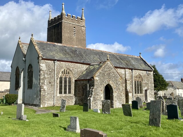
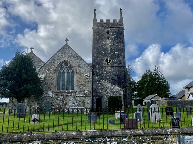
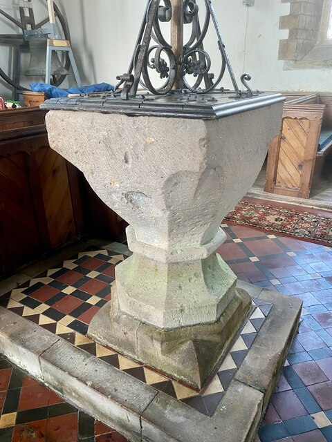
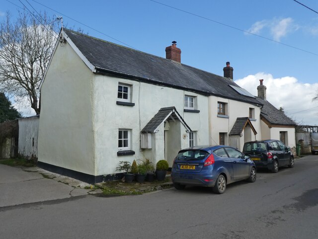
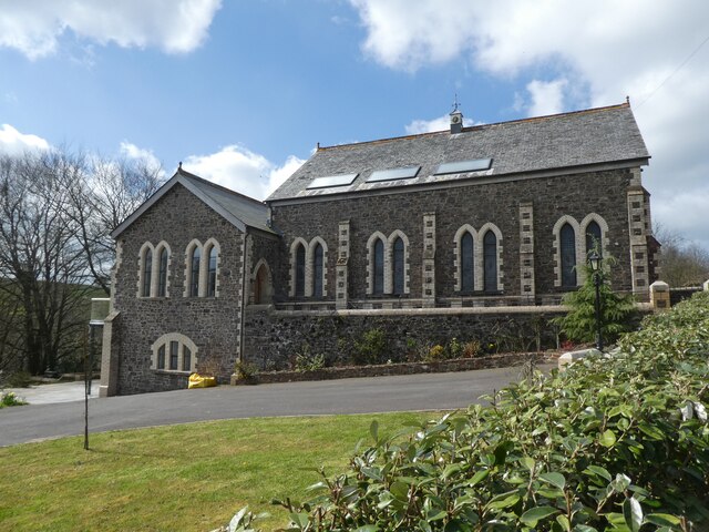
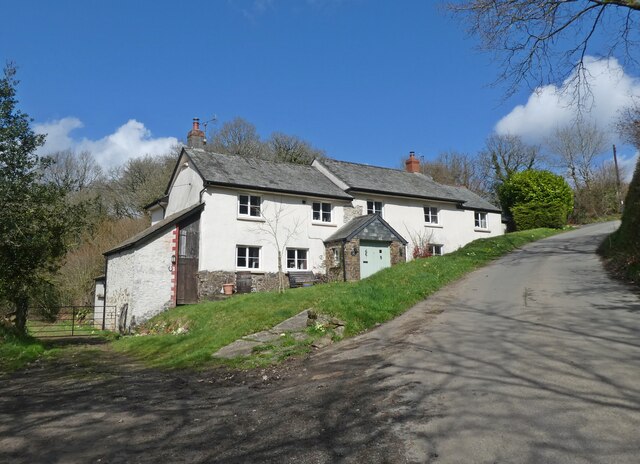
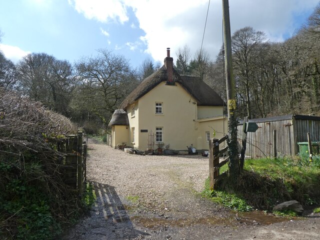
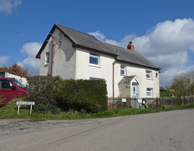
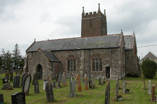
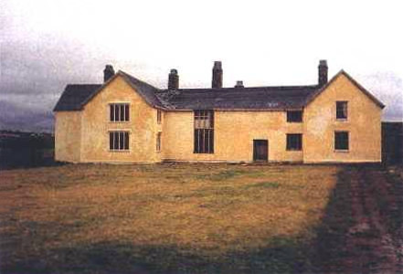
The village is known for its charming historic buildings and quaint rural character. Its most notable landmark is the St. James Church, a Grade I listed building dating back to the 15th century. This beautiful church features a striking tower and stained glass windows, attracting visitors interested in its architectural and historical significance.
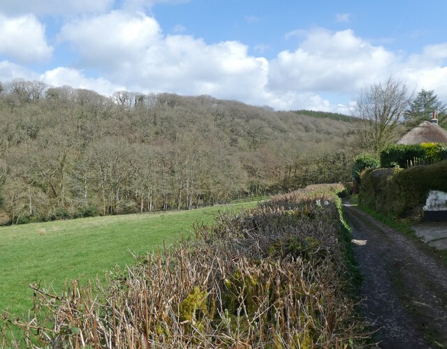
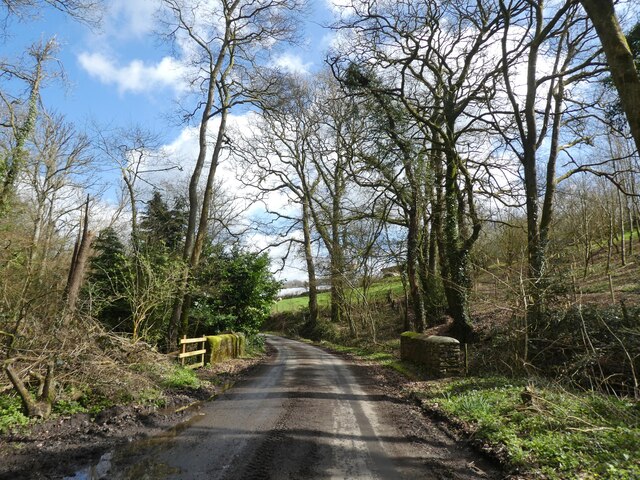
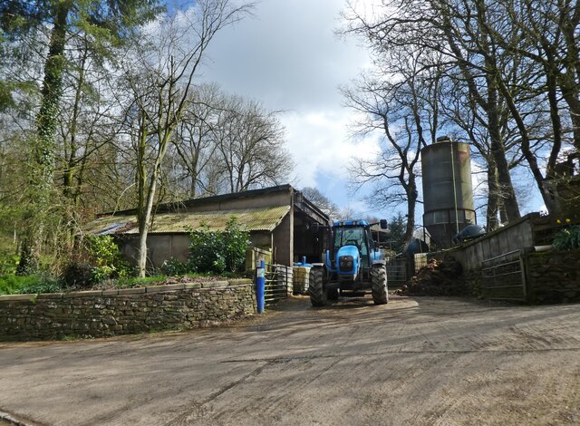
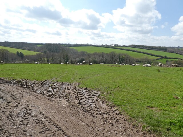
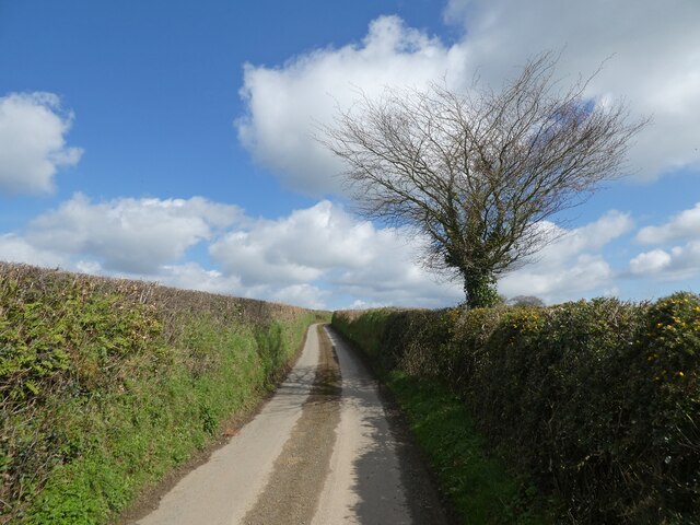
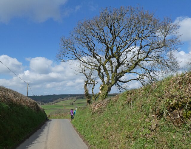
The surrounding countryside of Ashreigney is predominantly agricultural, with lush green fields and meadows stretching out in all directions. It is a perfect destination for nature enthusiasts and walkers, offering various footpaths and trails that showcase the area's natural beauty.
Although Ashreigney is a small village, it benefits from a strong sense of community. The village has a primary school, a village hall, and a pub, which serves as a popular meeting place for locals and visitors alike.
Due to its rural location, Ashreigney provides a tranquil escape from the hustle and bustle of city life. While it may not have extensive amenities, its charm lies in its simplicity, making it an ideal destination for those seeking a peaceful retreat in the heart of the Devonshire countryside.
If you have any feedback on the listing, please let us know in the comments section below.
Ashreigney Images
Images are sourced within 2km of 50.90604/-3.950613 or Grid Reference SS6213. Thanks to Geograph Open Source API. All images are credited.


Ashreigney is located at Grid Ref: SS6213 (Lat: 50.90604, Lng: -3.950613)
Administrative County: Devon
District: Torridge
Police Authority: Devon and Cornwall
What 3 Words
///describes.womb.budding. Near Winkleigh, Devon
Nearby Locations
Related Wikis
Ashreigney
Ashreigney is a village and civil parish in the Torridge district of Devon, England, about 15 miles (24 km) south of the town of Barnstaple. According...

Burrington, Devon
Burrington is a village and civil parish in North Devon in England. In 2001 the population was 538.The village has a church, a Methodist chapel, a pub...

Eaglescott Airfield
Eaglescott Airfield (ICAO: EGHU) is located in Burrington, 6 nautical miles (11 km; 6.9 mi) east southeast of Great Torrington, in Devon, England. It is...

Colleton, Chulmleigh
Colleton is a hamlet and former manor in the civil parish and ecclesiastical parish of Chulmleigh, in the North Devon district of Devon, England. It is...

RAF Winkleigh
Royal Air Force Winkleigh, or more simply RAF Winkleigh, is a former Royal Air Force satellite station located near to Winkleigh, Devon and south of Barnstaple...
Rashleigh, Wembworthy
Rashleigh is an historic former manor in the parish of Wembworthy, Devon. Rashleigh Barton, the former manor house, is a grade II* listed building, situated...
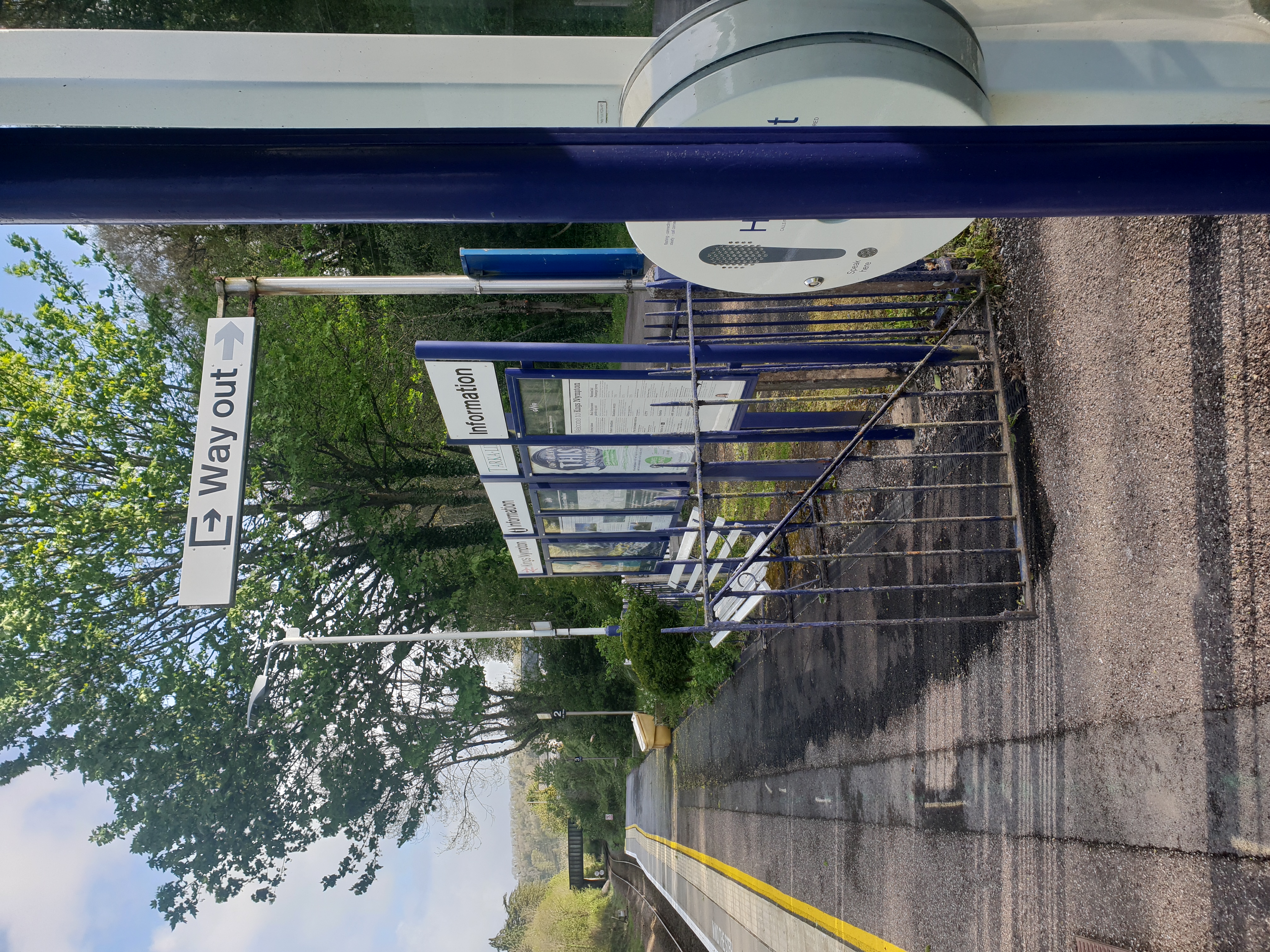
Kings Nympton railway station
Kings Nympton railway station, also spelt King's Nympton, is a halt on the Tarka Line in North Devon, serving the civil parishes of Chulmleigh, Burrington...

Little Dart River
The Little Dart River is a tributary of the River Taw in Devon, England. It joins the Taw a mile west of Chulmleigh. The Little Dart rises near Rackenford...
Nearby Amenities
Located within 500m of 50.90604,-3.950613Have you been to Ashreigney?
Leave your review of Ashreigney below (or comments, questions and feedback).