Barr Hill
Hill, Mountain in Renfrewshire
Scotland
Barr Hill
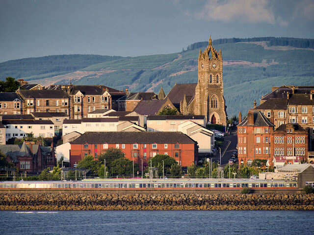
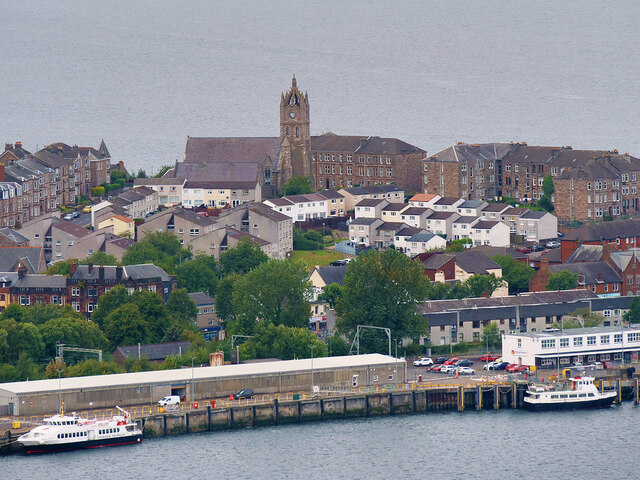
Barr Hill, located in Renfrewshire, Scotland, is a prominent hill known for its scenic beauty and historical significance. Situated near the village of Neilston, Barr Hill stands at an elevation of approximately 361 meters (1,184 feet) above sea level.
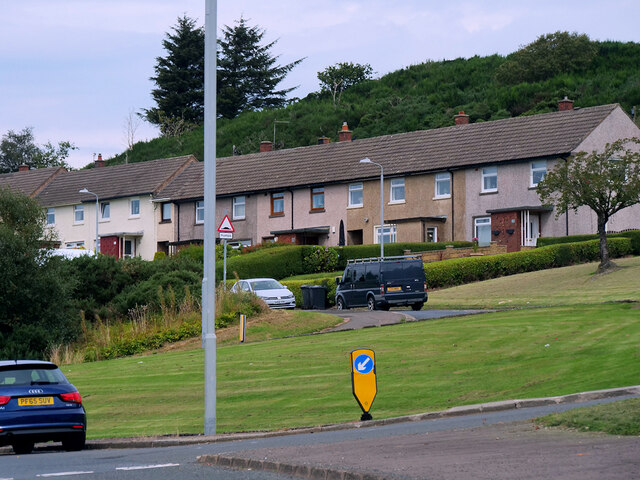
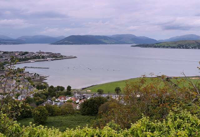
The hill is a popular destination for outdoor enthusiasts, hikers, and nature lovers who seek stunning views and tranquil surroundings. Its verdant slopes are covered with heather, grasses, and a variety of wildflowers, providing a picturesque landscape throughout the year. On clear days, visitors are rewarded with breathtaking panoramic views of the surrounding countryside, including the nearby Glennifer Braes and the city of Glasgow in the distance.
Barr Hill is also steeped in history, with remnants of ancient settlements dating back to the Iron Age. Archaeological excavations have revealed the presence of a hillfort on its summit, indicating its strategic importance in the past. The hillfort features defensive ditches and ramparts, providing insights into the lives and activities of the people who once inhabited the area.
For those interested in exploring the hill, various walking routes and trails are available, catering to different fitness levels and preferences. These routes often include informative signposts, providing visitors with historical and ecological information about the hill and its surroundings.
Overall, Barr Hill offers a unique blend of natural beauty and historical significance, making it an ideal destination for outdoor enthusiasts and history buffs alike.
If you have any feedback on the listing, please let us know in the comments section below.
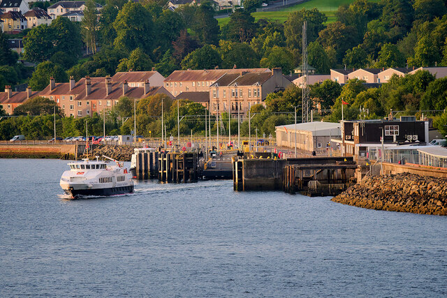
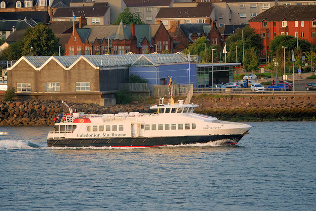
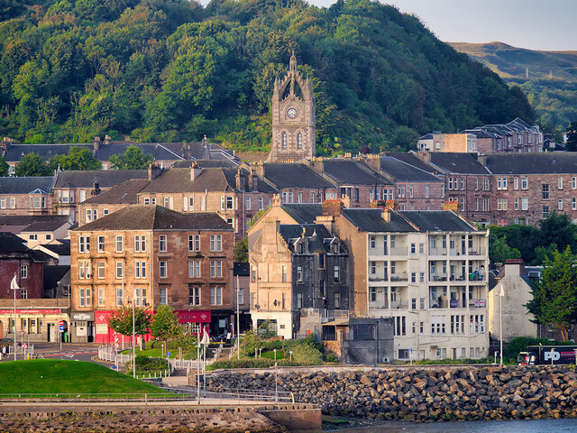
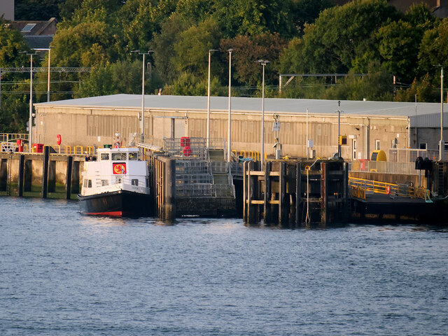
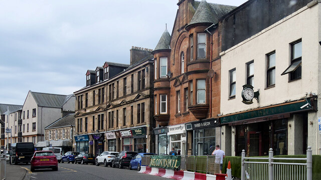
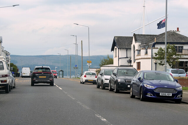
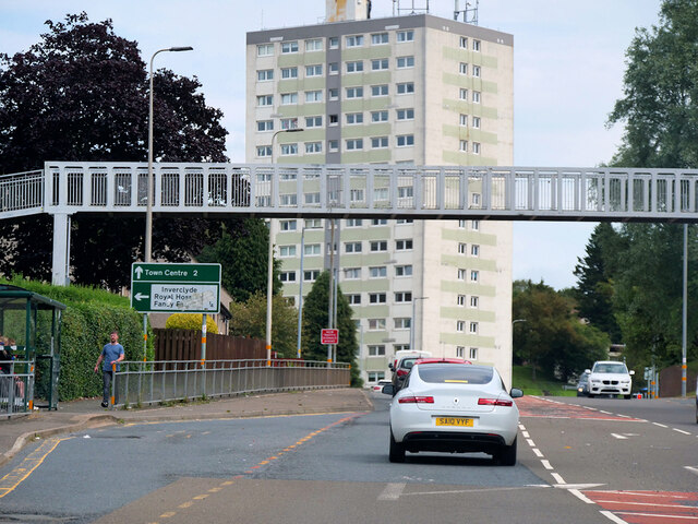
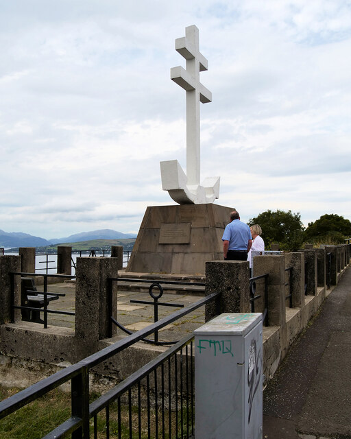
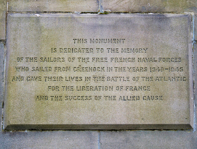
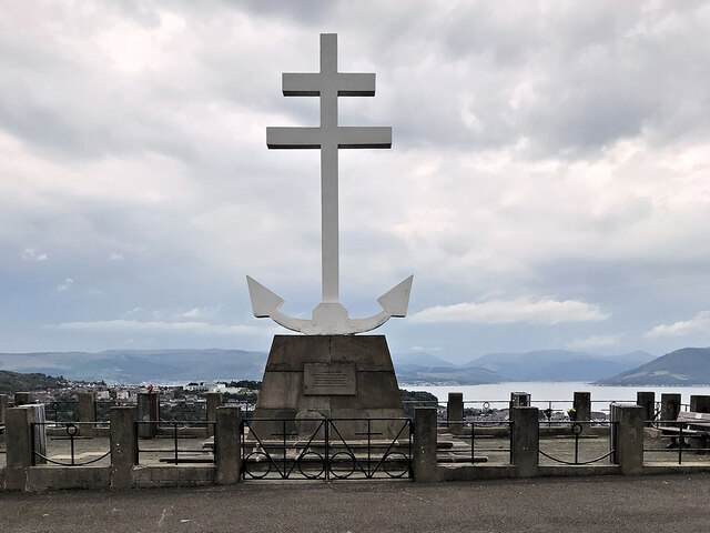
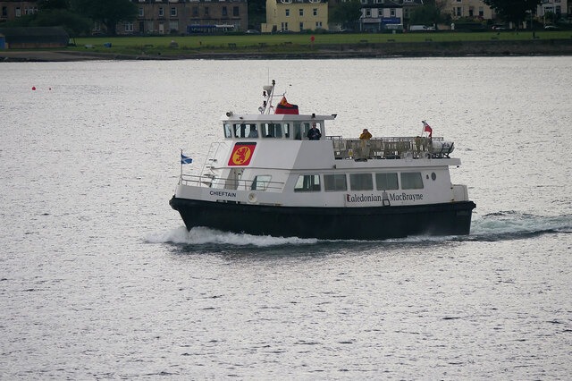
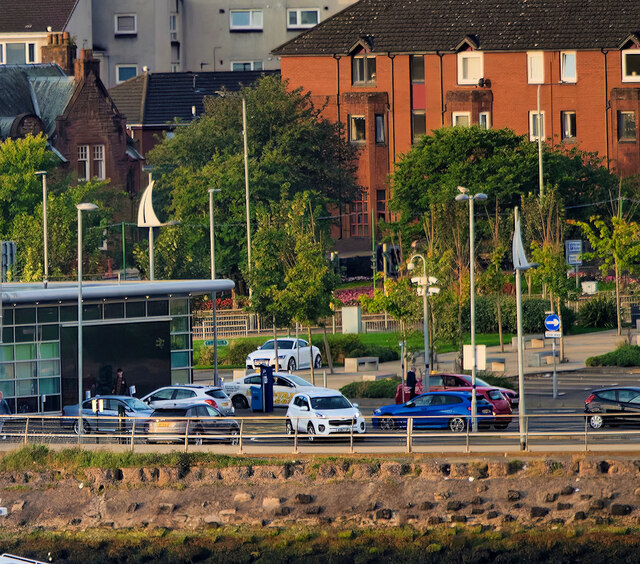
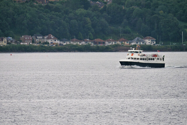
Barr Hill Images
Images are sourced within 2km of 55.954534/-4.8236863 or Grid Reference NS2377. Thanks to Geograph Open Source API. All images are credited.
Barr Hill is located at Grid Ref: NS2377 (Lat: 55.954534, Lng: -4.8236863)
Unitary Authority: Inverclyde
Police Authority: Renfrewshire and Inverclyde
What 3 Words
///shun.tiredness.bank. Near Gourock, Inverclyde
Nearby Locations
Related Wikis

Gourock High School
Gourock High School was a non-denominational comprehensive school catering for boys and girls, 11–18 years of age, in Gourock, Renfrewshire, Scotland....
Cragburn Pavilion
The Cragburn Pavilion was built in Gourock in 1935-6 by J. & J.A. Carrick, in brick and stucco with prominent art deco fluting along its front North-facing...

Gourock
Gourock ( GOOR-ək; Scottish Gaelic: Guireag [ˈkuɾʲak]) is a town in the Inverclyde council area and formerly a burgh of the County of Renfrew in the west...
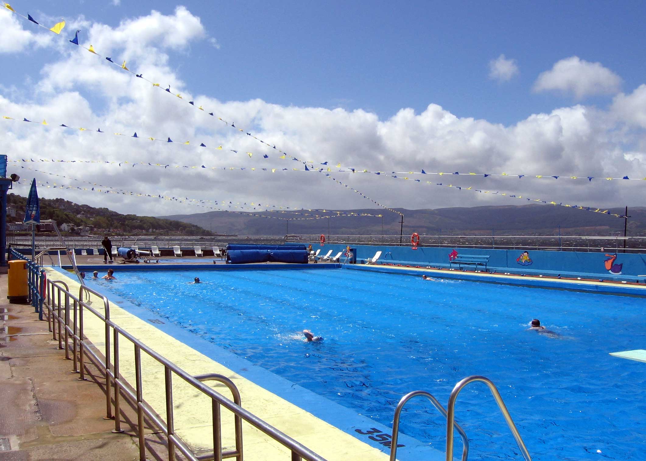
Gourock Outdoor Pool
Gourock Outdoor Pool is a salt water public lido in Gourock, Inverclyde, Scotland. It is the oldest heated swimming pool in Scotland. == Description... ==

Granny Kempock Stone
The megalithic Kempock Stone, popularly known as Granny Kempock (perhaps because of its resemblance to an old woman), stands on a cliff behind Kempock...
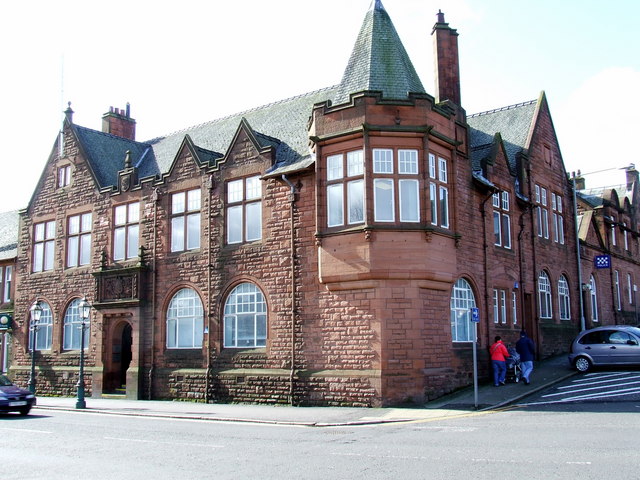
Municipal Buildings, Gourock
The Municipal Buildings are based in Shore Street, Gourock, Inverclyde, Scotland. The structure, which is used as a business centre, is a Category C listed...

Gourock railway station
Gourock railway station is a terminus of the Inverclyde Line, located at Gourock pierhead, Scotland, and serves the town as well as the ferry services...
Larkfield, Greenock
Larkfield is the largest council housing estate in Greenock, Inverclyde, Scotland. == Geography == The estate is named after Larkfield Farm, Larkfield...
Nearby Amenities
Located within 500m of 55.954534,-4.8236863Have you been to Barr Hill?
Leave your review of Barr Hill below (or comments, questions and feedback).