Borough Copse
Wood, Forest in Surrey Waverley
England
Borough Copse
The requested URL returned error: 429 Too Many Requests
If you have any feedback on the listing, please let us know in the comments section below.
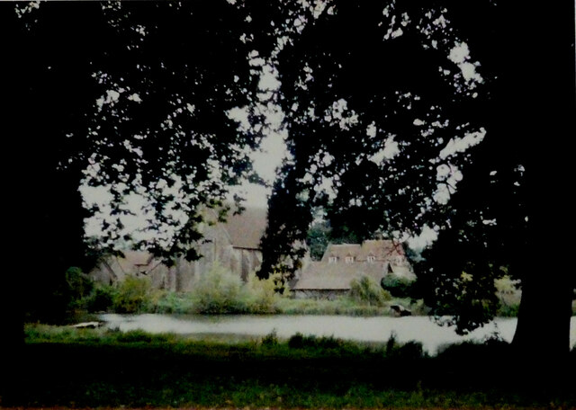
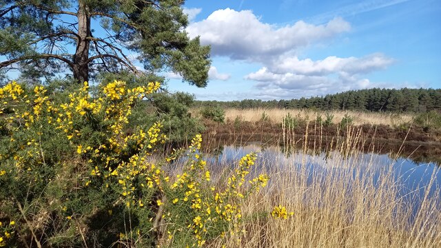
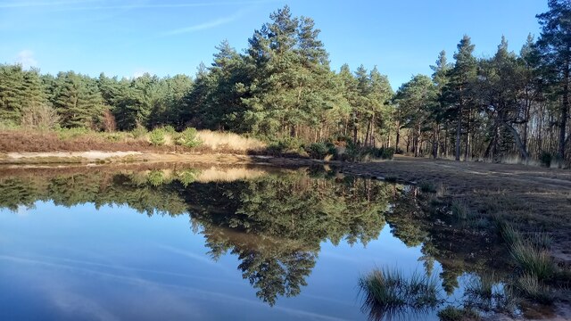
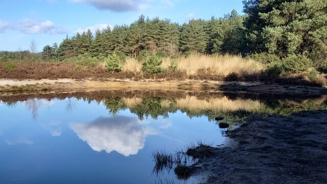
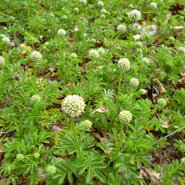
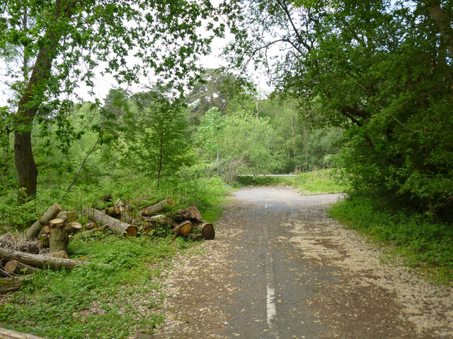
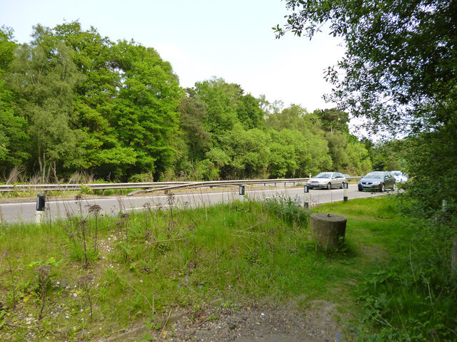
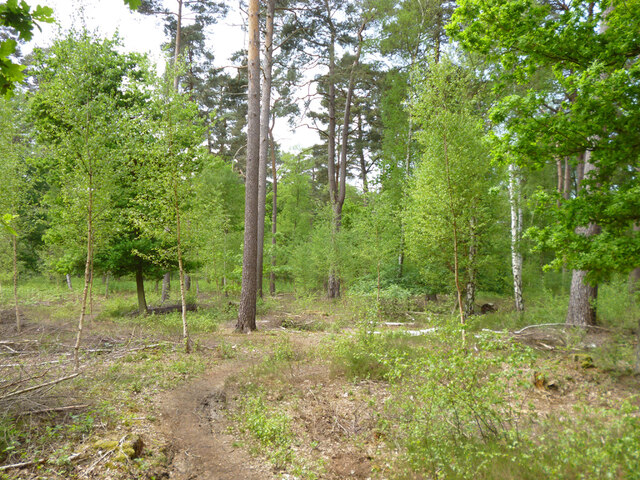
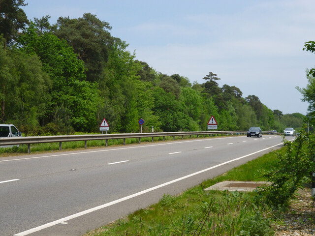
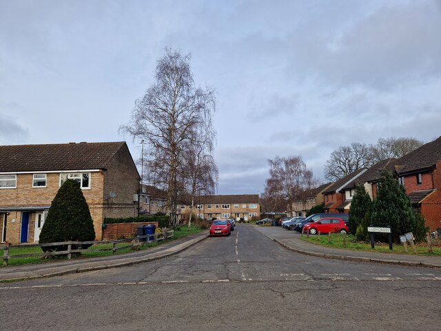
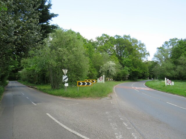
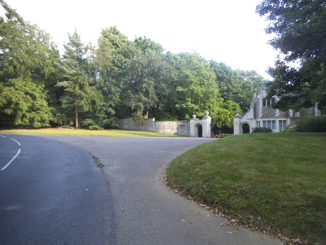
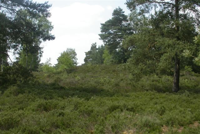
Borough Copse Images
Images are sourced within 2km of 51.166914/-0.67762015 or Grid Reference SU9241. Thanks to Geograph Open Source API. All images are credited.


Borough Copse is located at Grid Ref: SU9241 (Lat: 51.166914, Lng: -0.67762015)
Administrative County: Surrey
District: Waverley
Police Authority: Surrey
What 3 Words
///ounce.runners.dignify. Near Milford, Surrey
Nearby Locations
Related Wikis

Elstead Group of Commons
Elstead Group of Commons is a 180-hectare (440-acre) nature reserve east of Elstead in Surrey. It is composed of Royal, Elstead and Ockley Commons, which...

Rodborough Common, Surrey
Rodborough Common is a 62.2-hectare (154-acre) Local Nature Reserve west of Milford in Surrey. It is owned by Surrey County Council and managed by Surrey...

Witley Camp
Witley Military Camp, often simplified to Camp Witley, was a temporary army camp set up on Witley Common, Surrey, England during both the First and Second...
Witley Common
Witley Common is an area of woodland and heath, close to Witley, Surrey, in the United Kingdom. It is part of a much larger Site of Special Scientific...
Nearby Amenities
Located within 500m of 51.166914,-0.67762015Have you been to Borough Copse?
Leave your review of Borough Copse below (or comments, questions and feedback).