Ironstone Plantation
Wood, Forest in Lincolnshire South Kesteven
England
Ironstone Plantation
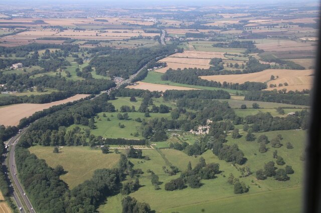
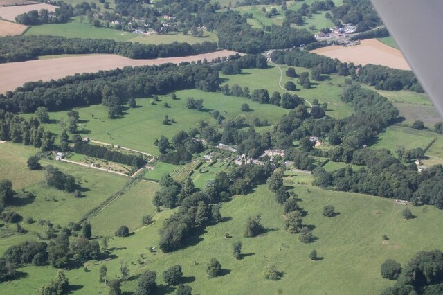
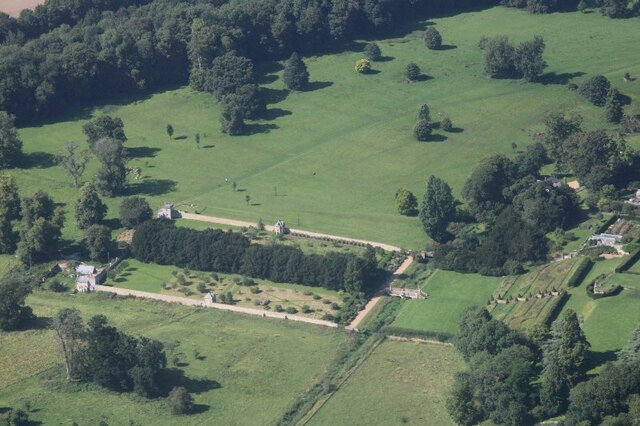
Ironstone Plantation is a historical estate located in Lincolnshire, England. Situated amidst the lush woodlands and serene forests, the plantation covers a vast area, encompassing both natural landscapes and man-made structures.
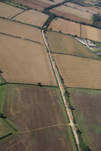
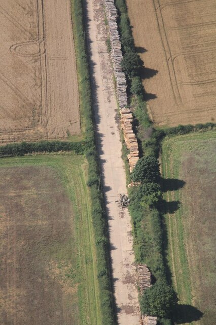
The plantation derives its name from the ironstone deposits found in the region, which were once extensively mined during the Industrial Revolution. The rich history of ironstone mining can still be witnessed in the remnants of old mine shafts and machinery scattered throughout the estate.
The landscape of Ironstone Plantation is characterized by dense woodlands, featuring a variety of native tree species such as oak, beech, and birch. These woodlands provide a sanctuary for numerous wildlife species, including deer, foxes, and various bird species, making it a popular spot for nature enthusiasts and birdwatchers.
The architecture of Ironstone Plantation is predominantly influenced by the Victorian era, with several grand buildings and cottages dotting the estate. The main manor house, a magnificent Victorian mansion, serves as the focal point of the plantation. Its picturesque gardens and well-manicured lawns offer a tranquil setting for visitors to explore and enjoy.
The plantation also features a network of walking trails and picnic areas, which allow visitors to immerse themselves in the natural beauty of the surroundings. Additionally, guided tours are offered, providing insights into the history and significance of the estate.
Ironstone Plantation, with its combination of natural beauty, historical significance, and architectural charm, offers a captivating experience for visitors seeking to appreciate the splendor of Lincolnshire's woodlands and forests.
If you have any feedback on the listing, please let us know in the comments section below.
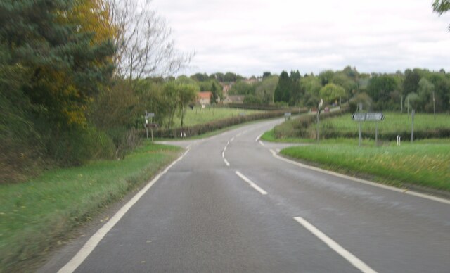
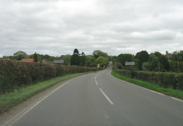
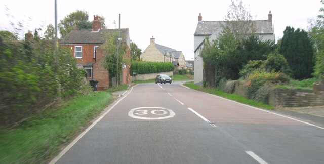
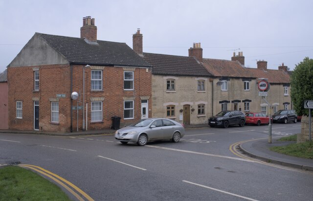
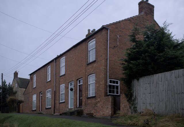
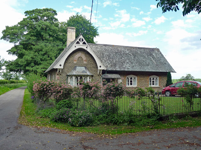
Ironstone Plantation Images
Images are sourced within 2km of 52.816335/-0.62822558 or Grid Reference SK9225. Thanks to Geograph Open Source API. All images are credited.


Ironstone Plantation is located at Grid Ref: SK9225 (Lat: 52.816335, Lng: -0.62822558)
Administrative County: Lincolnshire
District: South Kesteven
Police Authority: Lincolnshire
What 3 Words
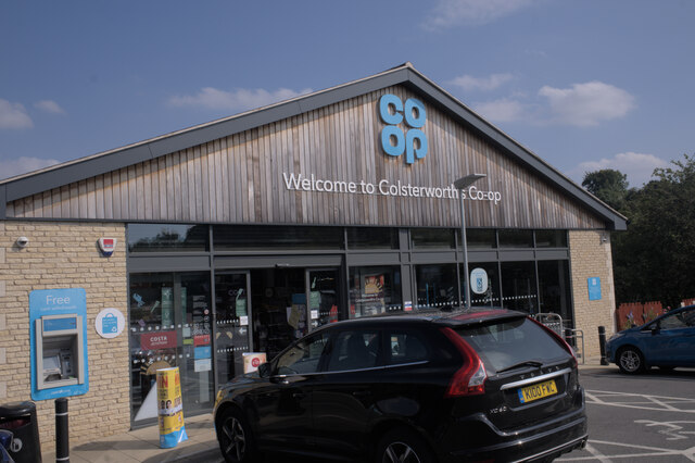
///intention.pointer.unique. Near Colsterworth, Lincolnshire
Related Wikis
Woolsthorpe-by-Colsterworth
Woolsthorpe-by-Colsterworth (to distinguish it from Woolsthorpe-by-Belvoir in the same county) is a hamlet in the South Kesteven district of Lincolnshire...
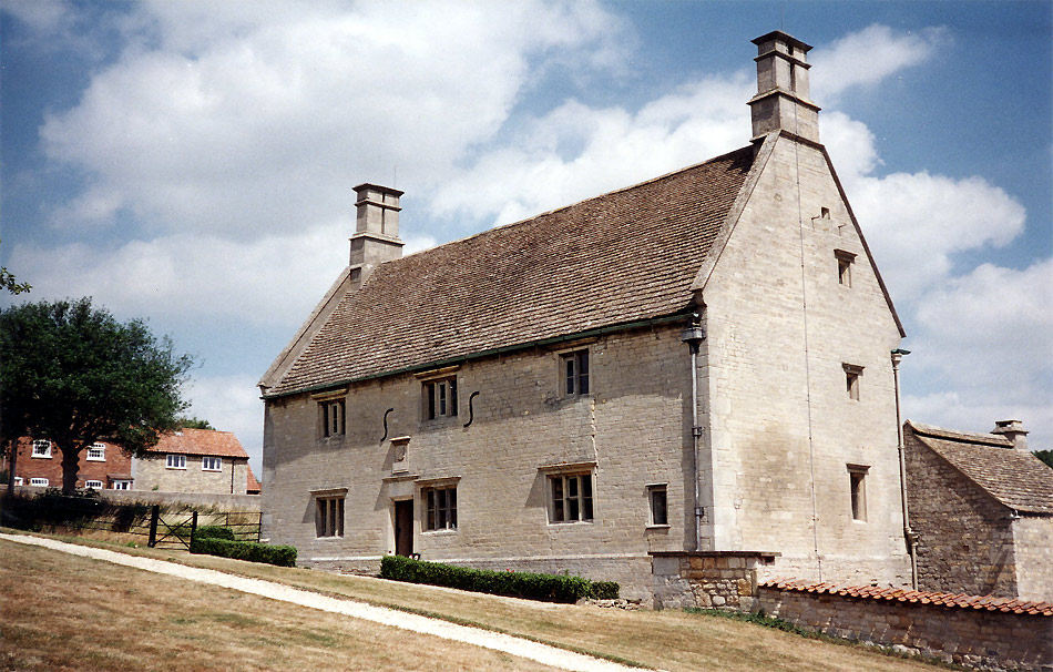
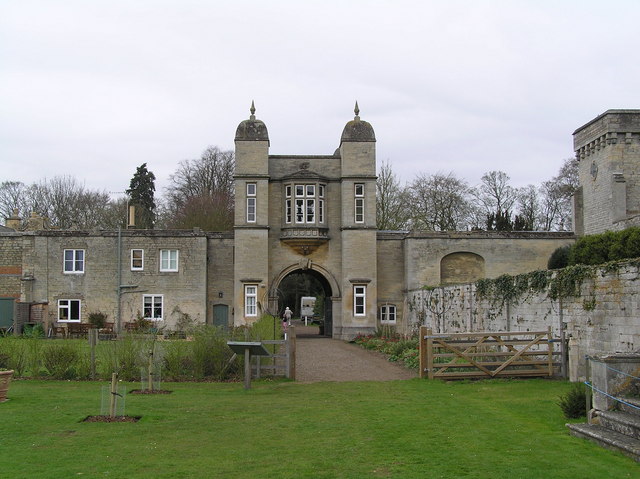
Woolsthorpe Manor
Woolsthorpe Manor in Woolsthorpe-by-Colsterworth, near Grantham, Lincolnshire, England, is the birthplace and was the family home of Sir Isaac Newton....

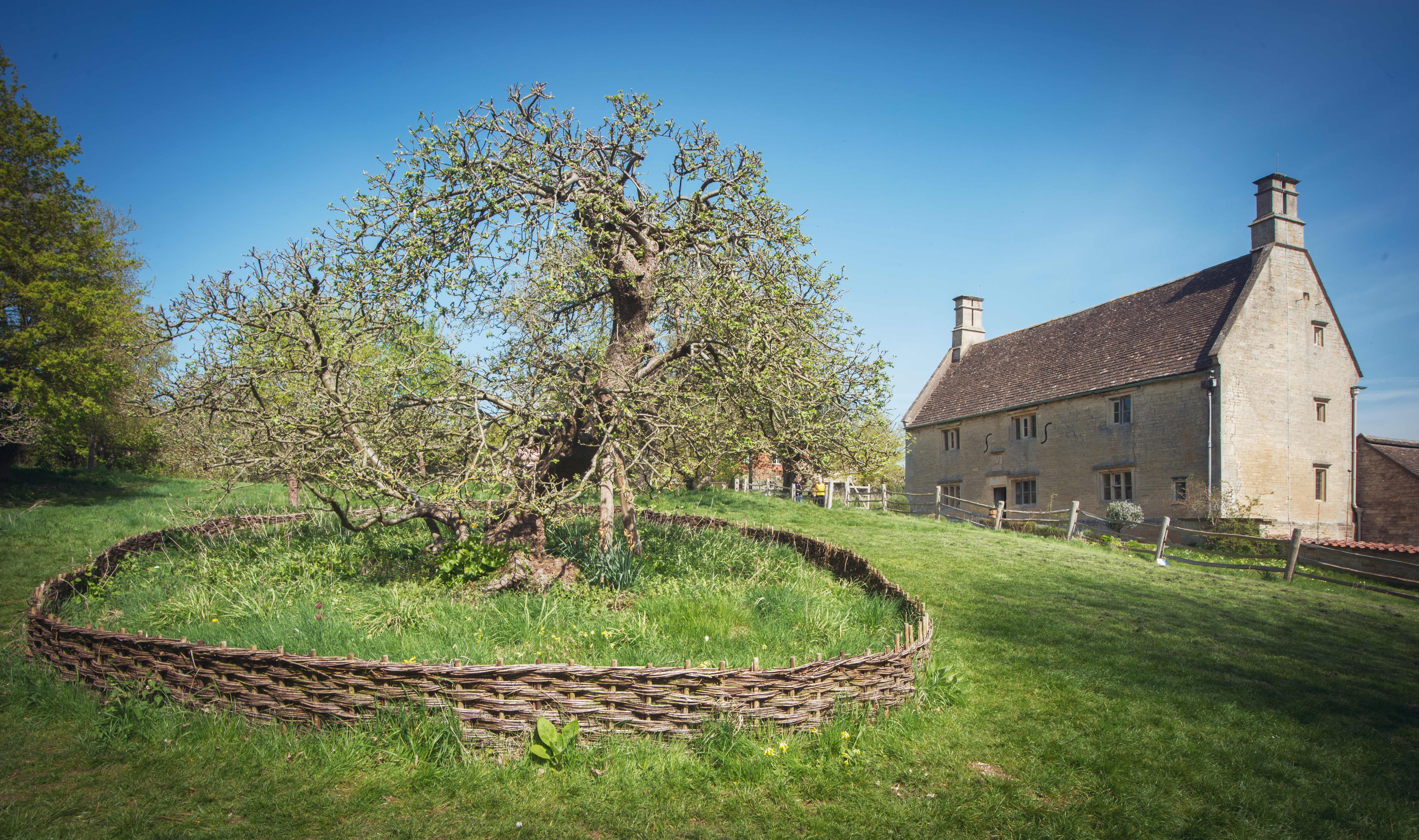
Isaac Newton's apple tree
Isaac Newton's apple tree at Woolsthorpe Manor represents the inspiration behind Sir Isaac Newton's theory of gravity. While the precise details of the...
Colsterworth
Colsterworth is a village and civil parish in the South Kesteven district of Lincolnshire, England, less than half a mile (0.8 km) west of the A1, about...
Easton, Lincolnshire
Easton is a village in the South Kesteven district of Lincolnshire, England, almost 2 miles (3.2 km) north of Colsterworth, and 1 mile (1.6 km) east of...

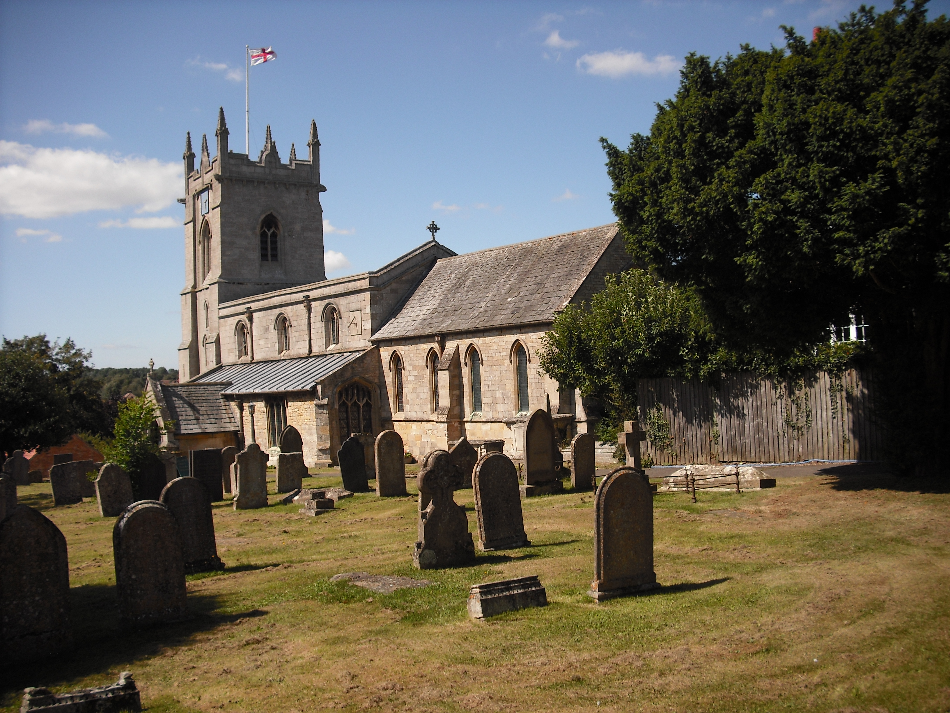
St Andrew and St Mary's Church, Stoke Rochford
St Andrew and St Mary's Church is a Grade I listed Church of England parish church dedicated to Saint Andrew and Saint Mary, in the parish of Easton and...

Stoke Rochford
Stoke Rochford is a small English village and civil parish 5.5 miles (9 km) south of Grantham in the South Kesteven district of Lincolnshire. The population...

Stainby
Stainby is a village and former civil parish, now in the parish of Gunby and Stainby, in the South Kesteven district of Lincolnshire, England. It is situated...
Nearby Amenities
Located within 500m of 52.816335,-0.62822558Have you been to Ironstone Plantation?
Leave your review of Ironstone Plantation below (or comments, questions and feedback).