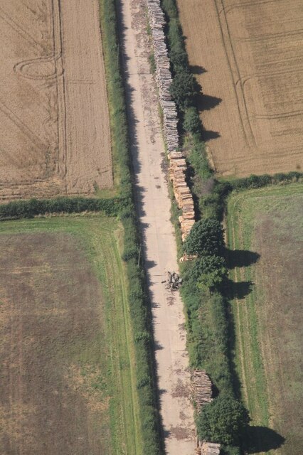
Bailey's Plantation
Wood, Forest in Lincolnshire South Kesteven
England
Bailey's Plantation
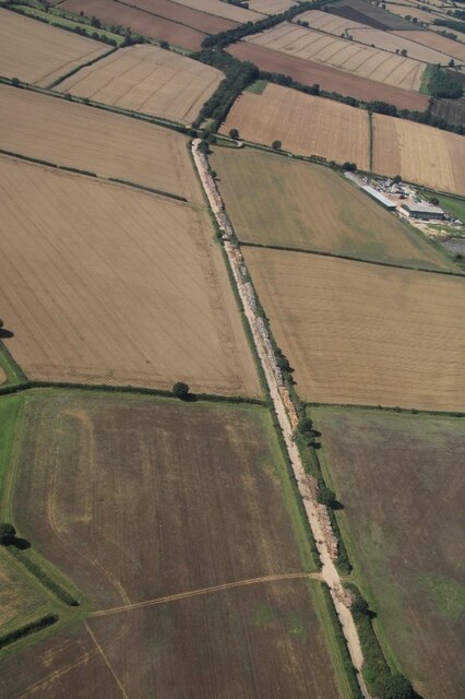
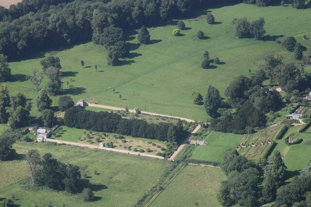
Bailey's Plantation, located in Lincolnshire, is a unique and picturesque woodland area that offers visitors an idyllic escape into nature. Situated in the heart of the county, this plantation covers a vast area of land and provides a tranquil retreat for those seeking a break from the hustle and bustle of everyday life.
The plantation is predominantly composed of a mixed woodland, showcasing a diverse range of tree species such as oak, beech, and birch. These trees form a dense canopy that provides shade and protection for the abundant flora and fauna that call this place home. Walking through the plantation, visitors will be greeted by a carpet of vibrant wildflowers, adding splashes of color to the already enchanting landscape.
Bailey's Plantation is not only a haven for nature enthusiasts but also offers a variety of recreational activities for visitors of all ages. There are numerous walking trails meandering through the woodland, allowing visitors to explore the plantation at their own pace. Additionally, the plantation features picnic areas and designated spots for birdwatching, making it an ideal destination for families and bird lovers alike.
The plantation also boasts a rich history, with archaeological evidence suggesting human activity in the area dating back centuries. The site is home to the remains of an ancient settlement, providing a fascinating glimpse into the past.
Overall, Bailey's Plantation in Lincolnshire is a true gem, offering a harmonious blend of natural beauty, recreational opportunities, and historical significance. Whether you are seeking a peaceful walk among nature, a family day out, or a glimpse into history, this plantation is sure to leave a lasting impression.
If you have any feedback on the listing, please let us know in the comments section below.
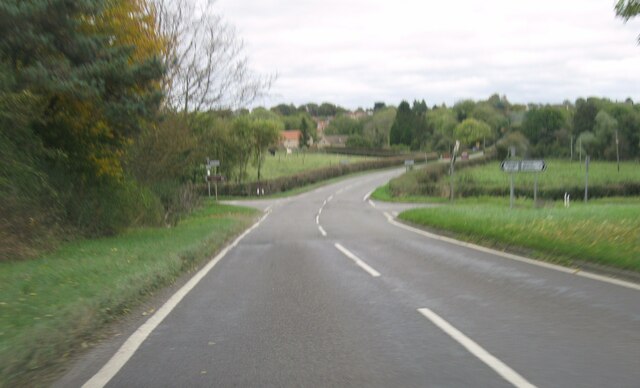
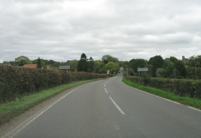
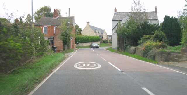
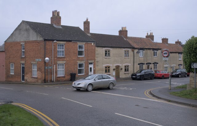
Bailey's Plantation Images
Images are sourced within 2km of 52.817385/-0.63587912 or Grid Reference SK9225. Thanks to Geograph Open Source API. All images are credited.

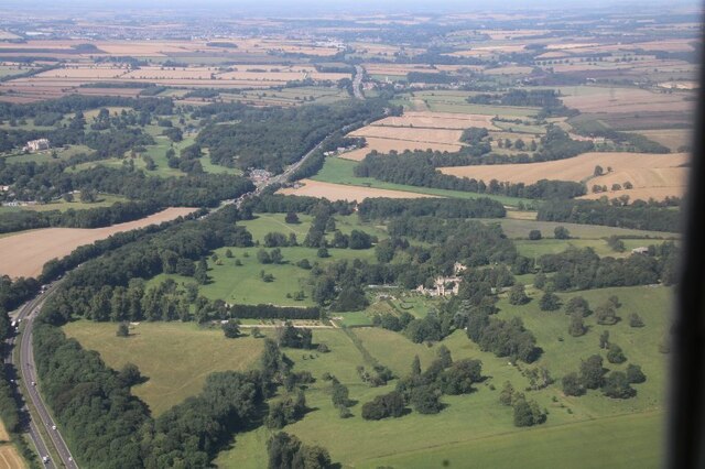
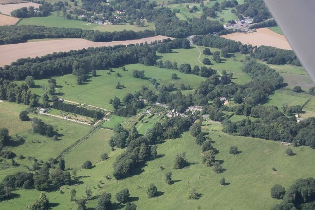

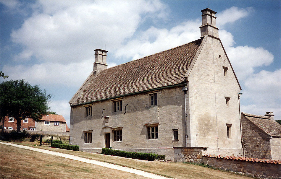
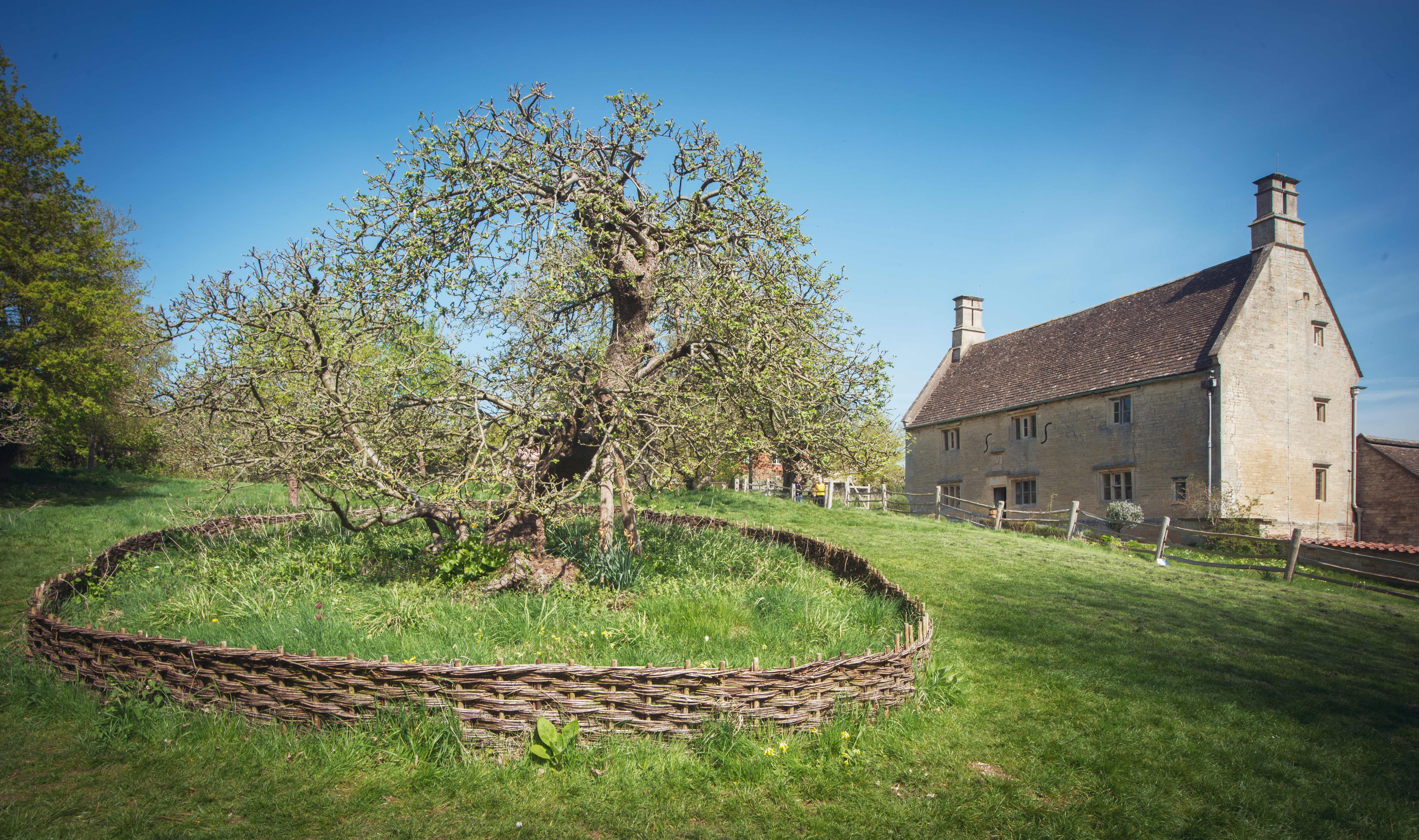
![Woolsthorpe Manor [1] The manor house, a former farmhouse, was built in the early 17th century with early 18th century alterations and addition. Constructed of coursed, squared limestone with ashlar quoins and dressings, all under a Collyweston slate roof. The house is listed, grade I, with details at: <span class="nowrap"><a title="https://historicengland.org.uk/listing/the-list/list-entry/1062362" rel="nofollow ugc noopener" href="https://historicengland.org.uk/listing/the-list/list-entry/1062362">Link</a><img style="margin-left:2px;" alt="External link" title="External link - shift click to open in new window" src="https://s1.geograph.org.uk/img/external.png" width="10" height="10"/></span>
Woolsthorpe-by-Colsterworth is a hamlet near the southern border of Lincolnshire. It is some 10 miles northwest of Stamford and about 7 miles south of Grantham. It is home to Woolsthorpe Manor, the birthplace and family home of Sir Isaac Newton. Here, he performed many experiments, most notably on light and optics. Here is said to be the site where, observing an apple fall from a tree, he formulated his law of universal gravitation. The manor is now in the care of the National Trust.](https://s0.geograph.org.uk/geophotos/07/13/02/7130228_f48097d7.jpg)
Bailey's Plantation is located at Grid Ref: SK9225 (Lat: 52.817385, Lng: -0.63587912)
Administrative County: Lincolnshire
District: South Kesteven
Police Authority: Lincolnshire
What 3 Words
///into.relishes.oatmeal. Near Colsterworth, Lincolnshire
Related Wikis
Woolsthorpe-by-Colsterworth
Woolsthorpe-by-Colsterworth (to distinguish it from Woolsthorpe-by-Belvoir in the same county) is a hamlet in the South Kesteven district of Lincolnshire...
Woolsthorpe Manor
Woolsthorpe Manor in Woolsthorpe-by-Colsterworth, near Grantham, Lincolnshire, England, is the birthplace and was the family home of Sir Isaac Newton....

Isaac Newton's apple tree
Isaac Newton's apple tree at Woolsthorpe Manor represents the inspiration behind Sir Isaac Newton's theory of gravity. While the precise details of the...
Colsterworth
Colsterworth is a village and civil parish in the South Kesteven district of Lincolnshire, England, less than half a mile (0.8 km) west of the A1, about...

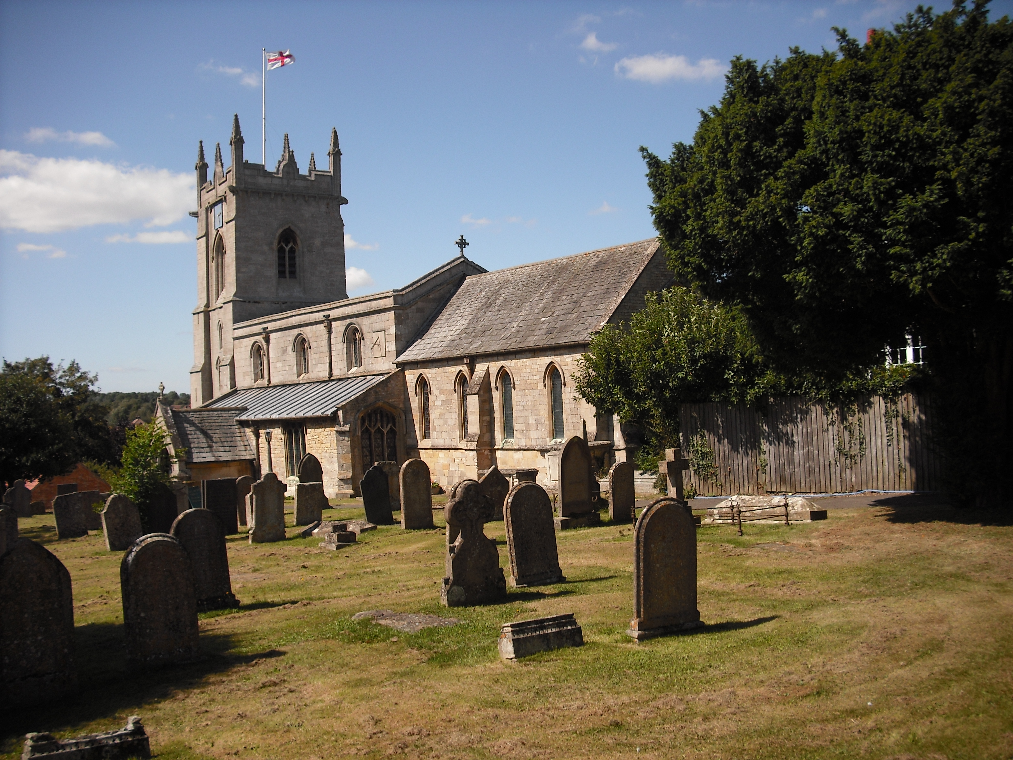
St Andrew and St Mary's Church, Stoke Rochford
St Andrew and St Mary's Church is a Grade I listed Church of England parish church dedicated to Saint Andrew and Saint Mary, in the parish of Easton and...

Stoke Rochford
Stoke Rochford is a small English village and civil parish 5.5 miles (9 km) south of Grantham in the South Kesteven district of Lincolnshire. The population...
Skillington
Skillington is a village and civil parish in the South Kesteven district of Lincolnshire, England. The population of the civil parish at the 2021 census...
Easton, Lincolnshire
Easton is a village in the South Kesteven district of Lincolnshire, England, almost 2 miles (3.2 km) north of Colsterworth, and 1 mile (1.6 km) east of...
Nearby Amenities
Located within 500m of 52.817385,-0.63587912Have you been to Bailey's Plantation?
Leave your review of Bailey's Plantation below (or comments, questions and feedback).