Danker Wood

Wood, Forest in Lincolnshire North Kesteven

England

Danker Wood

Footpath along the edge of a garden, Thorpe on the Hill This looks to be a former field path that has not been properly diverted and enclosed when houses were built on the land. I suspect that nobody uses it now.
Footpath along the edge of a garden, Thorpe on the Hill Credit: Humphrey Bolton

The requested URL returned error: 429 Too Many Requests

If you have any feedback on the listing, please let us know in the comments section below.
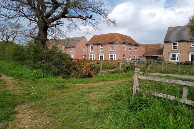
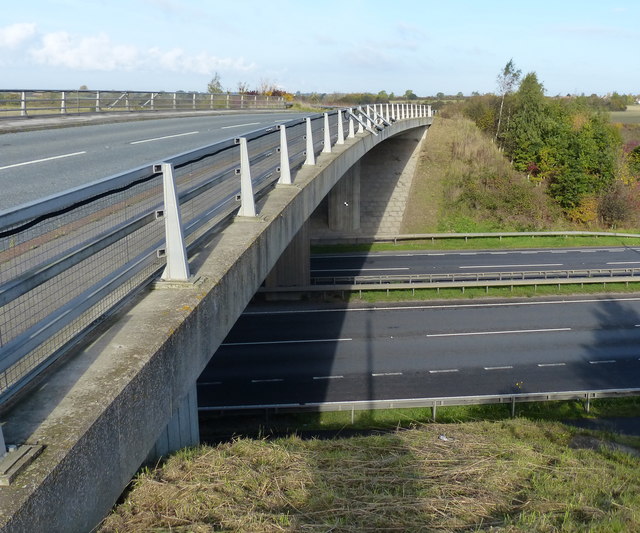
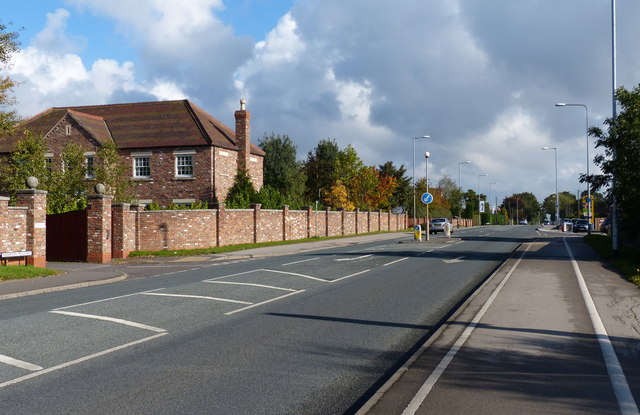
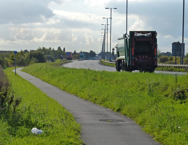
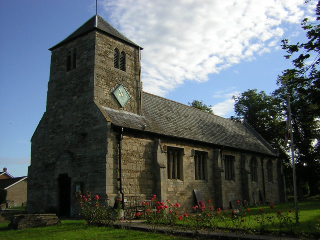
Danker Wood Images

Images are sourced within 2km of 53.175463/-0.61658794 or Grid Reference SK9265. Thanks to Geograph Open Source API. All images are credited.

Footpath along the edge of a garden, Thorpe on the Hill This looks to be a former field path that has not been properly diverted and enclosed when houses were built on the land. I suspect that nobody uses it now.
Footpath along the edge of a garden, Thorpe on the Hill
This looks to be a former field path that has not been properly diverted and enclosed when houses were built on the land. I suspect that nobody uses it now.
St Michael and All Angels, Thorpe on the Hill
Trees around the churchyard, Thorpe on the Hill
Footpath near Caspian Court, North Hykeham Two public footpaths link over a small catchwater drain looking northwestwards towards Caspian Court, a road which lies on the southern edge of one of North Hykeham's more affluent housing estates.

This photograph was taken on a warm and still Saturday morning in late April.  Apart from the odd dog walker both paths were completely deserted, with many of the residents instead taking to the open green spaces on the estate. Left undisturbed, the twittering birds and buzzing insects easily drowned out the distant hum of traffic from Mill Lane to the southeast.

The unpaved route on the left continues for some 200 metres before terminating at a gated field. The paved path (right) stretches for more than a kilometre and provides a direct pedestrian link from Mill Lane to Newark Road, approximately 900 metres to the northwest.
Footpath near Caspian Court, North Hykeham
Two public footpaths link over a small catchwater drain looking northwestwards towards Caspian Court, a road which lies on the southern edge of one of North Hykeham's more affluent housing estates. This photograph was taken on a warm and still Saturday morning in late April. Apart from the odd dog walker both paths were completely deserted, with many of the residents instead taking to the open green spaces on the estate. Left undisturbed, the twittering birds and buzzing insects easily drowned out the distant hum of traffic from Mill Lane to the southeast. The unpaved route on the left continues for some 200 metres before terminating at a gated field. The paved path (right) stretches for more than a kilometre and provides a direct pedestrian link from Mill Lane to Newark Road, approximately 900 metres to the northwest.
Footpath towards new houses, North Hykeham A public footpath cuts through the site of a housing estate under construction, looking northeastwards towards the East Village estate on Cleveland Avenue, the latest addition to North Hykeham's ever-expanding southern suburbs.

This photograph was taken on a warm morning in late May. There is perhaps nothing more geographically representative of this corner of North Hykeham than fields being consumed by new housing estates, and beyond the metal fencing on both sides of the path sits the next lot of land primed to meet the insatiable demand for housing nationwide.

This being the first day of a Bank Holiday weekend the site was deserted of workers, and with many of the new 'luxury houses' in frame still vacant the estate was eerily quiet for such a pleasant Saturday morning. There was once a distant eastwards view across the River Witham towards the village of Waddington from this path, but this is now partially obscured by the fencing.
Footpath towards new houses, North Hykeham
A public footpath cuts through the site of a housing estate under construction, looking northeastwards towards the East Village estate on Cleveland Avenue, the latest addition to North Hykeham's ever-expanding southern suburbs. This photograph was taken on a warm morning in late May. There is perhaps nothing more geographically representative of this corner of North Hykeham than fields being consumed by new housing estates, and beyond the metal fencing on both sides of the path sits the next lot of land primed to meet the insatiable demand for housing nationwide. This being the first day of a Bank Holiday weekend the site was deserted of workers, and with many of the new 'luxury houses' in frame still vacant the estate was eerily quiet for such a pleasant Saturday morning. There was once a distant eastwards view across the River Witham towards the village of Waddington from this path, but this is now partially obscured by the fencing.
Footpath leading to South Hykeham, North Hykeham A public footpath linking South Hykeham to the A46 just southwest of North Hykeham and the Lincoln bypass cuts through a wheat field, looking eastwards from the A46 towards Danker Wood.

This photograph was taken on a warm and breezy morning in mid-August. An unpaved path between a dual carriageway and a small industrial estate on the outskirts of a village is never going to be busy even on a Saturday morning, and the large weeds marking the way that one must trample over are a testament to the lack of footfall this route receives.

Danker Wood in the distance is probably the remnants of an ancient woodland. This bumpy and unkempt path does not go there and instead curves southwards to follow the electricity pylons over a small catchwater drain and through an uncultivated field, ending less than a kilometre away on a dirt track by a small collection of warehouses. Not a route for the sightseers.

For a view from the other end of the path see <a href="https://www.geograph.org.uk/photo/7571170">SK9264 : Uncultivated field near Danker Wood, South Hykeham</a>.
Footpath leading to South Hykeham, North Hykeham
A public footpath linking South Hykeham to the A46 just southwest of North Hykeham and the Lincoln bypass cuts through a wheat field, looking eastwards from the A46 towards Danker Wood. This photograph was taken on a warm and breezy morning in mid-August. An unpaved path between a dual carriageway and a small industrial estate on the outskirts of a village is never going to be busy even on a Saturday morning, and the large weeds marking the way that one must trample over are a testament to the lack of footfall this route receives. Danker Wood in the distance is probably the remnants of an ancient woodland. This bumpy and unkempt path does not go there and instead curves southwards to follow the electricity pylons over a small catchwater drain and through an uncultivated field, ending less than a kilometre away on a dirt track by a small collection of warehouses. Not a route for the sightseers. For a view from the other end of the path see SK9264 : Uncultivated field near Danker Wood, South Hykeham.
Uncultivated field near Danker Wood, South Hykeham Electricity pylons cross an unused piece of agricultural land between the town of North Hykeham and the village of South Hykeham, looking westwards towards the A46 dual carriageway just south of the Lincoln bypass.

This photograph was taken on a warm and breezy morning in mid-August. Nestled between the modest Danker Wood to the north, a small industrial estate to the east, and large wheat fields to the west and south, this seemingly forgotten (or unviable) plot of land appears to be used solely as a thoroughfare for farm machinery between warehouse and field.

For a view from the other end of the path see <a href="https://www.geograph.org.uk/photo/7565065">SK9265 : Footpath leading to South Hykeham, North Hykeham</a>.
Uncultivated field near Danker Wood, South Hykeham
Electricity pylons cross an unused piece of agricultural land between the town of North Hykeham and the village of South Hykeham, looking westwards towards the A46 dual carriageway just south of the Lincoln bypass. This photograph was taken on a warm and breezy morning in mid-August. Nestled between the modest Danker Wood to the north, a small industrial estate to the east, and large wheat fields to the west and south, this seemingly forgotten (or unviable) plot of land appears to be used solely as a thoroughfare for farm machinery between warehouse and field. For a view from the other end of the path see SK9265 : Footpath leading to South Hykeham, North Hykeham.
Haddington Lane crossing the A46 Fosse Way
Footpath next to the A1434 Newark Road
A1434 Newark Road in South Hykeham Heading towards North Hykeham and Lincoln city centre.
A1434 Newark Road in South Hykeham
Heading towards North Hykeham and Lincoln city centre.
A1434 Newark Road in North Hykeham Heading towards Lincoln city centre.
A1434 Newark Road in North Hykeham
Heading towards Lincoln city centre.
The A46 next to the Hykeham Roundabout
Yard off Haddington Lane
Cul-de-sac of Sky Barn Lane north of Haddington
Path down the bank towards the A46 south of Thorpe on the Hill
Construction work on a building in Fosse Lane, Thorpe on the Hill
Across the stubble from Littlethorpe Lane, Thorpe on the Hill
Thorpe Lane leading to South Hykeham
Show me another place!

Danker Wood is located at Grid Ref: SK9265 (Lat: 53.175463, Lng: -0.61658794)

Administrative County: Lincolnshire

District: North Kesteven

Police Authority: Lincolnshire

What 3 Words

///storybook.flight.axed. Near Bassingham, Lincolnshire

Nearby Locations

Danker Wood

Related Wikis

Whisby Moor

Whisby Moor is a small moor situated close to the A46 road, west of North Hykeham, in the North Kesteven district of Lincolnshire, England. == Geography... ==

South Hykeham

South Hykeham is a village and civil parish in the North Kesteven district of Lincolnshire, England. The population of the civil parish at the 2011 census...

Thorpe on the Hill, Lincolnshire

Thorpe on the Hill is a small village and civil parish in North Kesteven, Lincolnshire, England. == Location == It is situated less than 1 mile (1.6 km...

North Kesteven Academy

North Kesteven Academy is a co-educational academy school on Moor Lane, off the A1434 at North Hykeham, in North Kesteven, Lincolnshire, England. ��2...

Nearby Amenities

Located within 500m of 53.175463,-0.61658794
Bus Stop
Pennells Garden Centre
Naptan AtcoCode: 270000007628
Naptan Bearing: SW
Naptan CommonName: Pennells Garden Centre
Naptan Indicator: opp
Naptan Landmark: Pennells Garden Centre
Naptan NaptanCode: lingjpjd
Naptan Street: Newark Road
Naptan Verified: no
Shelter: no
Source: naptan_import
Wheelchair: yes
Lat/Long: 53.1772653/-0.6218752
Bus Stop
Thorpe Lane
Naptan AtcoCode: 270000007629
Naptan Bearing: SW
Naptan CommonName: Thorpe Lane
Naptan Indicator: opp
Naptan Landmark: Thorpe Lane
Naptan NaptanCode: lingjpjg
Naptan PlusbusZoneRef: LINCLNC
Naptan Street: Newark Road
Naptan Verified: no
Shelter: no
Source: naptan_import
Lat/Long: 53.1793188/-0.6170227
Bus Stop
Thorpe Lane
Naptan AtcoCode: 270000007630
Naptan Bearing: NE
Naptan CommonName: Thorpe Lane
Naptan Indicator: adj
Naptan Landmark: Thorpe Lane
Naptan NaptanCode: lingjpjm
Naptan PlusbusZoneRef: LINCLNC
Naptan Street: Newark Road
Naptan Verified: no
Shelter: yes
Source: naptan_import
Lat/Long: 53.1798658/-0.6161371
Bus Stop
Pennells Garden Centre
Naptan AtcoCode: 270002701005
Naptan Bearing: NE
Naptan CommonName: Pennells Garden Centre
Naptan Indicator: adj
Naptan Landmark: Pennells Garden Cetnre
Naptan Street: Newark Road
Naptan Verified: no
Shelter: no
Source: naptan_import
Lat/Long: 53.1773541/-0.6220409
Power: tower
Lat/Long: 53.1743331/-0.6177858
Power: tower
Lat/Long: 53.1727142/-0.6144454
Power: tower
Lat/Long: 53.1760147/-0.6212673
Mini Roundabout
Lat/Long: 53.1777382/-0.6204673
Power: tower
Lat/Long: 53.1770203/-0.623383
Post Box
Ref: LN6 153
Lat/Long: 53.1799004/-0.6172013
Crossing
Crossing: uncontrolled
Lat/Long: 53.1780018/-0.6208102
Parking
Lat/Long: 53.1777197/-0.6187561
Give Way
Direction: backward
Lat/Long: 53.1770705/-0.6202864
Crossing
Crossing: uncontrolled
Lat/Long: 53.1780343/-0.6206987
Crossing
Crossing: uncontrolled
Lat/Long: 53.1778758/-0.6208769
Crossing
Crossing: uncontrolled
Lat/Long: 53.1778261/-0.6208093
Crossing
Crossing: uncontrolled
Lat/Long: 53.1777849/-0.6207617
Crossing
Bicycle: yes
Crossing: uncontrolled
Lat/Long: 53.1796986/-0.6166427
Crossing
Bicycle: yes
Crossing: unmarked
Crossing Island: yes
Kerb: lowered
Tactile Paving: yes
Lat/Long: 53.178581/-0.6189668
Generator Method: photovoltaic
Generator Output Electricity: yes
Generator Source: solar
Generator Type: solar_photovoltaic_panel
Location: roof
Power: generator
Lat/Long: 53.1783943/-0.6222408
Generator Method: photovoltaic
Generator Output Electricity: yes
Generator Source: solar
Generator Type: solar_photovoltaic_panel
Location: roof
Power: generator
Lat/Long: 53.1784248/-0.6220665
Generator Method: photovoltaic
Generator Output Electricity: yes
Generator Source: solar
Generator Type: solar_photovoltaic_panel
Location: roof
Power: generator
Lat/Long: 53.1792513/-0.6167101
Generator Method: photovoltaic
Generator Output Electricity: yes
Generator Source: solar
Generator Type: solar_photovoltaic_panel
Location: roof
Power: generator
Lat/Long: 53.17739/-0.6133253
Generator Method: photovoltaic
Generator Output Electricity: yes
Generator Source: solar
Generator Type: solar_photovoltaic_panel
Location: roof
Power: generator
Lat/Long: 53.1780775/-0.613332
Generator Method: photovoltaic
Generator Output Electricity: yes
Generator Source: solar
Generator Type: solar_photovoltaic_panel
Location: roof
Power: generator
Lat/Long: 53.1792312/-0.6167559
Generator Method: photovoltaic
Generator Output Electricity: yes
Generator Source: solar
Generator Type: solar_photovoltaic_panel
Location: roof
Power: generator
Lat/Long: 53.1792393/-0.6168068
Generator Method: photovoltaic
Generator Output Electricity: yes
Generator Source: solar
Generator Type: solar_photovoltaic_panel
Location: roof
Power: generator
Lat/Long: 53.1792304/-0.6166875
Generator Method: photovoltaic
Generator Output Electricity: yes
Generator Source: solar
Generator Type: solar_photovoltaic_panel
Location: roof
Power: generator
Lat/Long: 53.176389/-0.6201197
Generator Method: photovoltaic
Generator Output Electricity: yes
Generator Source: solar
Generator Type: solar_photovoltaic_panel
Location: roof
Power: generator
Lat/Long: 53.1762025/-0.6201452
Generator Method: photovoltaic
Generator Output Electricity: yes
Generator Source: solar
Generator Type: solar_photovoltaic_panel
Location: roof
Power: generator
Lat/Long: 53.1790858/-0.6198629
Give Way
Direction: forward
Lat/Long: 53.1777522/-0.6205867
Crossing
Bicycle: yes
Crossing: uncontrolled
Lat/Long: 53.177629/-0.6210324
Give Way
Direction: backward
Lat/Long: 53.1764971/-0.6195
Give Way
Direction: backward
Lat/Long: 53.1774027/-0.6196674
Give Way
Direction: backward
Lat/Long: 53.1772727/-0.6198974
Give Way
Direction: backward
Lat/Long: 53.177123/-0.620526
Give Way
Direction: backward
Lat/Long: 53.176883/-0.6200304
Give Way
Direction: backward
Lat/Long: 53.1767665/-0.620058
Give Way
Direction: backward
Lat/Long: 53.176406/-0.6193451
Give Way
Direction: backward
Lat/Long: 53.1762394/-0.6189232
Give Way
Direction: backward
Lat/Long: 53.1760251/-0.6187862
Give Way
Direction: backward
Lat/Long: 53.1760418/-0.6185618
Give Way
Direction: backward
Lat/Long: 53.175901/-0.6186357
Give Way
Direction: backward
Lat/Long: 53.1769919/-0.6183878
Crossing
Bicycle: yes
Crossing: unmarked
Crossing Island: no
Kerb: lowered
Tactile Paving: yes
Lat/Long: 53.1786153/-0.6184212
BG Trends Tailoring
Addr City: Lincoln
Addr Housenumber: 12
Addr Postcode: LN6 9UH
Addr Street: Roman Way
Description: Clothes Alterations & Repairs. Wedding dresses alterations. Prom dresses alterations. Suits alterations. Curtains alterations.
Opening Hours: "by appointment"
Phone: +44 7942 269478
Shop: tailor
Website: https://www.facebook.com/www.bgtrends.co.uk
Wheelchair: yes
Lat/Long: 53.176271/-0.6183742
Crossing
Lat/Long: 53.1770144/-0.622542
Note: proposed toucan crossing
Lat/Long: 53.1760516/-0.6236807
Note: proposed toucan crossing
Lat/Long: 53.1758892/-0.6239006
Note: proposed toucan crossing
Lat/Long: 53.1759439/-0.623332
The data included in this document is from www.openstreetmap.org. The data is made available under ODbL.

Have you been to Danker Wood?

Leave your review of Danker Wood below (or comments, questions and feedback).