Birch Copse

Wood, Forest in Surrey Waverley

England

Birch Copse

The Three Horseshoes
The Three Horseshoes Credit: Alex McGregor

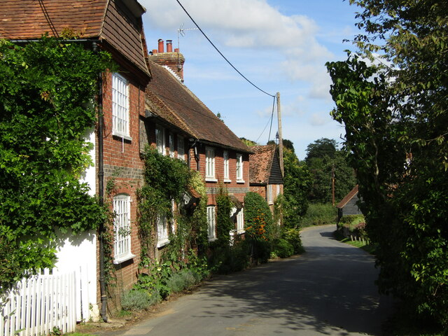
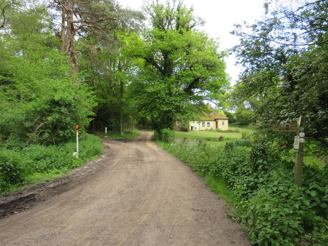
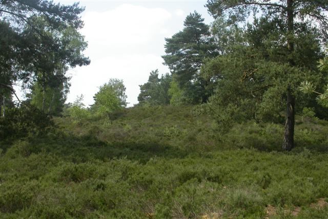
Birch Copse, located in Surrey, England, is a picturesque wood or forest that offers a serene escape from the bustling city life. Spanning over a vast area, the copse is characterized by its dense growth of birch trees, which lend their name to this natural wonder.

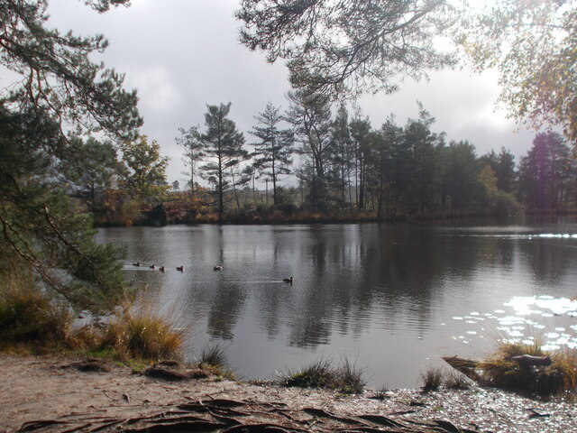
The copse is known for its stunning natural beauty, with a diverse range of flora and fauna that thrive within its boundaries. The tall, slender birch trees dominate the landscape, creating a unique and enchanting ambiance. Their silver-white bark contrasts beautifully against the lush green foliage, especially during the warm summer months.

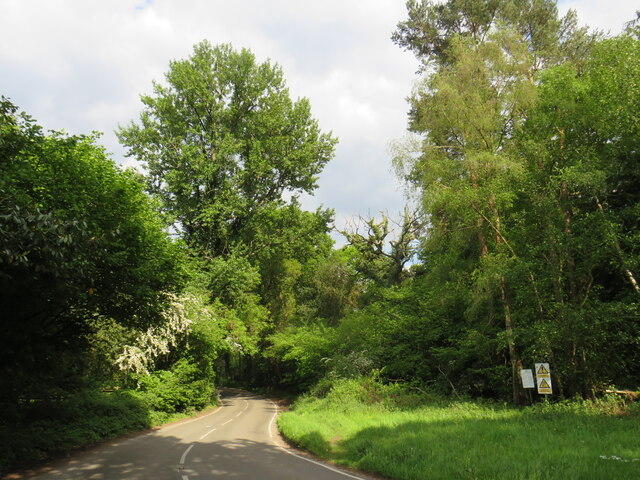
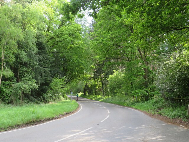
Walking through Birch Copse, visitors can immerse themselves in the peaceful surroundings. The forest floor is carpeted with a rich layer of fallen leaves and moss, providing a soft path underfoot. The air is crisp and fragrant, with the subtle scent of pine needles and earthy undertones.

The copse is also home to a variety of wildlife, including birds, small mammals, and insects. Birdsong fills the air, as chirping finches and thrushes nestle among the branches. Squirrels can be seen scampering up and down the tree trunks, while butterflies and dragonflies flit about, adding flashes of color to the scene.

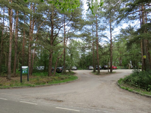
Birch Copse offers a range of recreational activities for nature enthusiasts. Hiking trails wind their way through the wood, allowing visitors to explore the copse at their own pace. Picnic areas are scattered throughout, providing a perfect spot to relax and enjoy the natural surroundings. Nature photography is also a popular pastime, with ample opportunities to capture the copse's beauty.

In summary, Birch Copse in Surrey is a captivating woodland retreat, offering a peaceful haven for those seeking solace in nature. With its towering birch trees, diverse wildlife, and tranquil atmosphere, this forest is a true gem within the Surrey countryside.

If you have any feedback on the listing, please let us know in the comments section below.

Birch Copse Images

Images are sourced within 2km of 51.157487/-0.69181786 or Grid Reference SU9140. Thanks to Geograph Open Source API. All images are credited.

The Three Horseshoes
St Michael & All Angels Church Grade I listed building - <span class="nowrap"><a title="https://historicengland.org.uk/listing/the-list/list-entry/1260876" rel="nofollow ugc noopener" href="https://historicengland.org.uk/listing/the-list/list-entry/1260876">Link</a><img style="margin-left:2px;" alt="External link" title="External link - shift click to open in new window" src="https://s1.geograph.org.uk/img/external.png" width="10" height="10"/></span>
St Michael & All Angels Church
Grade I listed building - LinkExternal link
Farmland, Thursley The crop has been harvested.
Farmland, Thursley
The crop has been harvested.
Old petrol pumps, Thursley On the old A3, before it was upgraded to dual carriageway. No longer used but still surviving, and repainted since 2012.
Old petrol pumps, Thursley
On the old A3, before it was upgraded to dual carriageway. No longer used but still surviving, and repainted since 2012.
Thursley - The Street Old red brick cottages line the village's former main street, now a quiet lane.
<span class="nowrap"><a title="www.thursley-pc.gov.uk" rel="nofollow ugc noopener" href="http://www.thursley-pc.gov.uk">Link</a><img style="margin-left:2px;" alt="External link" title="External link - shift click to open in new window" src="https://s1.geograph.org.uk/img/external.png" width="10" height="10"/></span>
Thursley - The Street
Old red brick cottages line the village's former main street, now a quiet lane. LinkExternal link
Thursley - St Michael's Church Parts of St Michael and All Angels date back to Saxon times but much of the fabric is now Victorian.
Note the cross carries a black drape - mourning for Queen Elizabeth II (1926-2022).
<span class="nowrap"><a title="www.thursley-pc.gov.uk" rel="nofollow ugc noopener" href="http://www.thursley-pc.gov.uk">Link</a><img style="margin-left:2px;" alt="External link" title="External link - shift click to open in new window" src="https://s1.geograph.org.uk/img/external.png" width="10" height="10"/></span>
Thursley - St Michael's Church
Parts of St Michael and All Angels date back to Saxon times but much of the fabric is now Victorian. Note the cross carries a black drape - mourning for Queen Elizabeth II (1926-2022). LinkExternal link
Thursley - Font Original font of Bargate stone inside St Michael and All Angels Church which has Saxon roots.
Thursley - Font
Original font of Bargate stone inside St Michael and All Angels Church which has Saxon roots.
Thursley - Royal Arms Board with royal coat of arms dated 1783, realm of King George III, within the historic parish church.
Thursley - Royal Arms
Board with royal coat of arms dated 1783, realm of King George III, within the historic parish church.
Thursley - Sunset Cottage Timber-framed 16th century cottage with a distinctively large sloping roof on The Street.
Thursley - Sunset Cottage
Timber-framed 16th century cottage with a distinctively large sloping roof on The Street.
Daffodils in Thursley Churchyard
Thursley Road near Thursley, Surrey A double bend on Thursley Road, passing through woodland in Surrey.
Thursley Road near Thursley, Surrey
A double bend on Thursley Road, passing through woodland in Surrey.
Thursley Road near Thursley, Surrey Thursley Road is a minor road passing through woodland in Surrey.
Thursley Road near Thursley, Surrey
Thursley Road is a minor road passing through woodland in Surrey.
Driveway and public bridleway near Thursley, Surrey A driveway leading to a cottage in Surrey woodland.  The driveway is a public right of way as a bridleway, indicated by the wooden signpost.
Driveway and public bridleway near Thursley, Surrey
A driveway leading to a cottage in Surrey woodland. The driveway is a public right of way as a bridleway, indicated by the wooden signpost.
Moat Pond Car Park near Elstead, Surrey A public car park in woodland near the village of Elstead in Surrey.
Moat Pond Car Park near Elstead, Surrey
A public car park in woodland near the village of Elstead in Surrey.
Moat Pond, Thursley Common
The entrance to Witley Park on Lea Coach Road
Noticeboard on Witley Common
Show me another place!

Birch Copse is located at Grid Ref: SU9140 (Lat: 51.157487, Lng: -0.69181786)

Administrative County: Surrey

District: Waverley

Police Authority: Surrey

What 3 Words

///december.blasted.badminton. Near Witley, Surrey

Related Wikis

South West Surrey (UK Parliament constituency)

South West Surrey is a constituency represented in the House of Commons of the UK Parliament. Since 2005, the seat has been represented by Conservative...

Thursley Common

Thursley Common is a national nature reserve in Surrey, England, and has also been designated as a Ramsar wetland. It is also part of a Site of Special...

Witley Camp

Witley Military Camp, often simplified to Camp Witley, was a temporary army camp set up on Witley Common, Surrey, England during both the First and Second...

Witley Common

Witley Common is an area of woodland and heath, close to Witley, Surrey, in the United Kingdom. It is part of a much larger Site of Special Scientific...
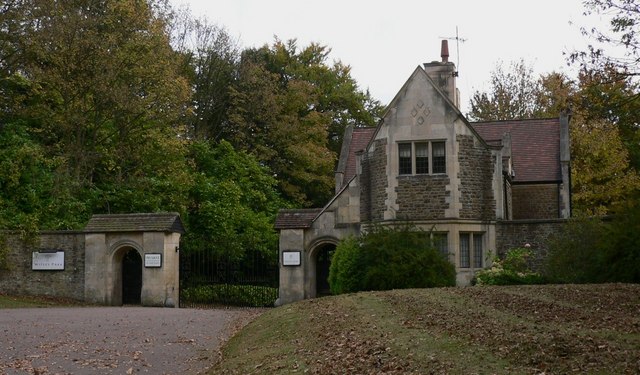
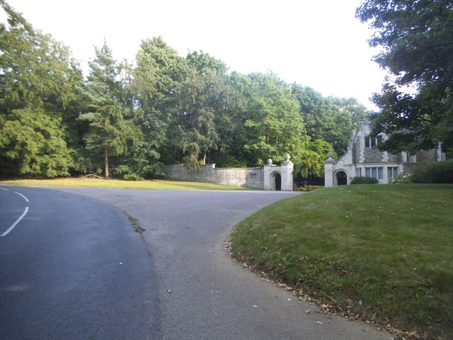
Witley Park

Witley Park, formerly known as Lea Park, is an estate dating from the 19th-century between Godalming and Haslemere, Surrey, England. Its landscaped grounds...

Thursley

Thursley is a village and civil parish in southwest Surrey, west of the A3 between Milford and Hindhead. An associated hamlet is Bowlhead Green. To the...

Rodborough Common, Surrey

Rodborough Common is a 62.2-hectare (154-acre) Local Nature Reserve west of Milford in Surrey. It is owned by Surrey County Council and managed by Surrey...

Elstead Group of Commons

Elstead Group of Commons is a 180-hectare (440-acre) nature reserve east of Elstead in Surrey. It is composed of Royal, Elstead and Ockley Commons, which...

Nearby Amenities

Located within 500m of 51.157487,-0.69181786
Bus Stop
Warren Park
Naptan AtcoCode: 40004411171A
Naptan Bearing: NE
Naptan CommonName: Warren Park
Naptan Indicator: adj
Naptan Landmark: Warren Park
Naptan NaptanCode: surdtwgj
Naptan Street: Portsmouth Road A3
Naptan Verified: no
Source: naptan_import
Lat/Long: 51.1545107/-0.6880261
Bus Stop
Warren Park
Naptan AtcoCode: 40004411171B
Naptan Bearing: SW
Naptan BusStopType: CUS
Naptan CommonName: Warren Park
Naptan Indicator: opp
Naptan Landmark: Caravan Site
Naptan NaptanCode: surgtawt
Naptan Street: Portamouth Road A3
Naptan Verified: no
Source: naptan_import
Lat/Long: 51.154486/-0.6874262
Post Box
Collection Plate: CP7
Collection Times: Mo-Fr 16:30; Sa 09:30
Last Checked: 2021-03-05
Operator: Royal Mail
Post Box Type: lamp
Ref: GU8 38
Royal Cypher: EIIR
Royal Cypher Wikidata: Q33102113
Source: survey
Lat/Long: 51.1546569/-0.6878463
Colour: white
Marker: post
Material: concrete
Note: See https://www.geograph.org.uk/photo/691553
Utility: oil
Lat/Long: 51.1588709/-0.6982572
The data included in this document is from www.openstreetmap.org. The data is made available under ODbL.

Have you been to Birch Copse?

Leave your review of Birch Copse below (or comments, questions and feedback).