Bulland Copse
Wood, Forest in Sussex Chichester
England
Bulland Copse

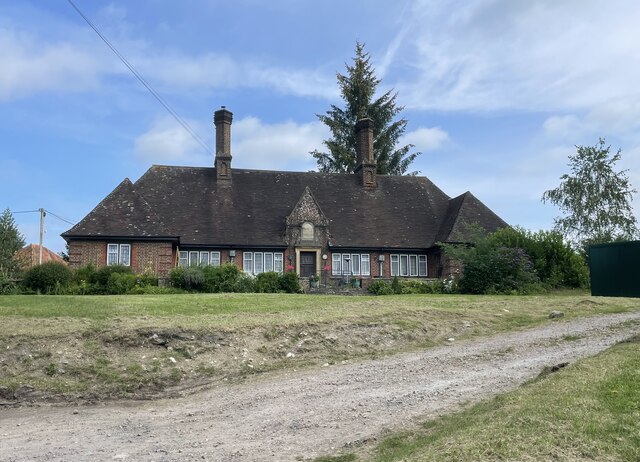
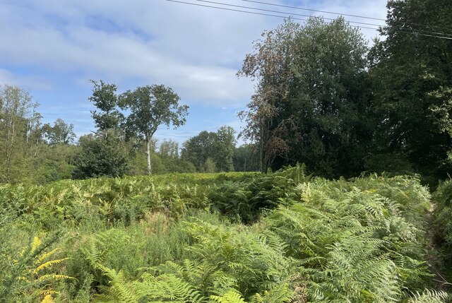
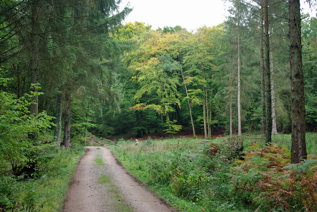
Bulland Copse, located in Sussex, is a picturesque wood or forest that spans over a considerable area. This natural haven is characterized by its lush greenery, abundant wildlife, and diverse range of tree species. It is a popular destination for nature enthusiasts, hikers, and bird watchers.
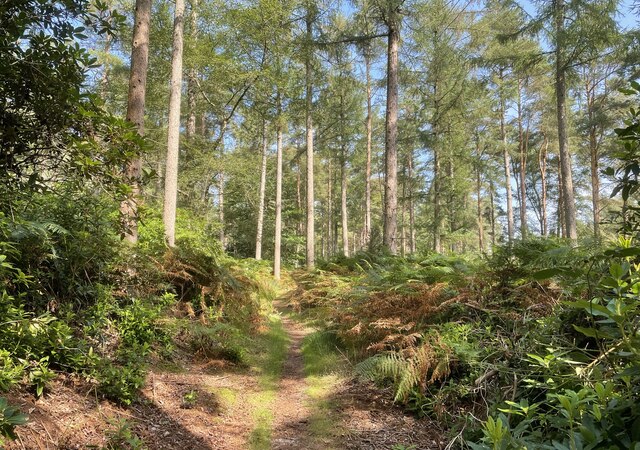
The copse is home to a variety of tree species, including oak, beech, and birch, which create a beautiful and serene atmosphere within the wood. The dense canopy formed by these trees provides shade and shelter, making it an ideal habitat for numerous wildlife species. Visitors to Bulland Copse can expect to spot various birds, such as woodpeckers, owls, and songbirds, as well as small mammals like squirrels and rabbits.
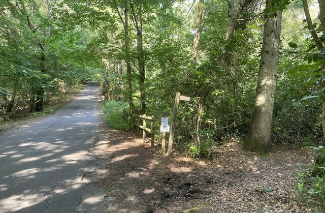
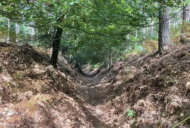
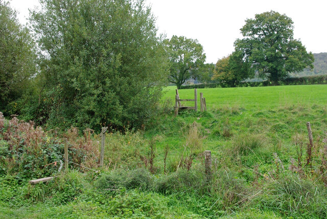
Walking through the copse, visitors will discover a network of well-maintained trails and footpaths that wind their way through the forest. These trails offer a range of difficulty levels, catering to both casual strollers and avid hikers. Along the way, there are several picnic spots and benches where visitors can rest and enjoy the tranquil surroundings.
Bulland Copse is also notable for its historical significance. The wood has been part of the Sussex landscape for centuries and has witnessed various events throughout history. It is not uncommon to come across remnants of ancient settlements, such as the remains of old cottages or stone walls, adding an intriguing element to the overall experience.
Overall, Bulland Copse is a natural gem in Sussex, offering a peaceful retreat from the hustle and bustle of everyday life. Its diverse ecosystem, well-kept trails, and historical charm make it a must-visit destination for nature lovers and history enthusiasts alike.
If you have any feedback on the listing, please let us know in the comments section below.
Bulland Copse Images
Images are sourced within 2km of 50.954568/-0.69739464 or Grid Reference SU9118. Thanks to Geograph Open Source API. All images are credited.


Bulland Copse is located at Grid Ref: SU9118 (Lat: 50.954568, Lng: -0.69739464)
Administrative County: West Sussex
District: Chichester
Police Authority: Sussex
What 3 Words
///everyone.bluffing.woke. Near Midhurst, West Sussex
Nearby Locations
Related Wikis

Sussex Downs AONB
Sussex Downs Area of Outstanding Natural Beauty in England was designated in 1966. The designation was revoked in March 2010, together with the neighbouring...

Graffham
Graffham is a village, Anglican parish and civil parish in West Sussex, England, situated on the northern escarpment of the South Downs within the South...

Ambersham Common
Ambersham Common is a 141.6-hectare (350-acre) biological Site of Special Scientific Interest south-east of Midhurst in West Sussex. It is a Nature Conservation...
Heyshott
Heyshott is a village, Anglican parish and civil parish in the Chichester district of West Sussex, England. It is approximately three miles south of Midhurst...

Graffham Common
Graffham Common is a 38-hectare (94-acre) nature reserve between Midhurst and Petworth in West Sussex. It is owned and managed by the Sussex Wildlife...

Heyshott Down
Heyshott Down is a 42.6-hectare (105-acre) biological Site of Special Scientific Interest south of Midhurst in West Sussex. It is a Nature Conservation...

South Ambersham
South Ambersham is a hamlet and former civil parish, now in the parish of Graffham, in the Chichester district of West Sussex, England. It lies 0.7 miles...

Selham railway station
Selham railway station served the village of Selham in the county of West Sussex in England. The station was out in mostly open fields, although a public...
Related Videos

Walking half the Way – Day 1
I set out intending to backpack the whole of the 100-mile South Downs Way but conveniently ignored the fact I had never before ...
Graffham Camping and Caravaning Club Site and my Outwell Springwood 5
I enjoy camping in the UK a lot. They have wonderful rules for camping which provide you with enough space to feel relaxed and ...

Day Trip to South Downs and The Seven Sisters | London Travel Vlog 🇬🇧
Day 5 of my solo trip in London took me on a 3rd and final day trip. This time, I took a day trip to the South Downs/Sussex area of ...
Three Mile Adventure Graffham
On the map this looks fairly vin ordinaire. Let me assure you it is anything but. There are streams, footbridges, stiles by the bus ...
Nearby Amenities
Located within 500m of 50.954568,-0.69739464Have you been to Bulland Copse?
Leave your review of Bulland Copse below (or comments, questions and feedback).