Farm Plantation
Wood, Forest in Lincolnshire South Kesteven
England
Farm Plantation

Farm Plantation is a picturesque woodland located in Lincolnshire, England. Covering an expansive area of land, the plantation is known for its lush greenery and diverse range of trees, making it a popular destination for nature enthusiasts and outdoor enthusiasts alike.
The woodland is characterized by its dense forest, with towering trees creating a serene and tranquil atmosphere. The plantation is home to a variety of tree species, including oak, beech, birch, and pine, which provide a rich habitat for numerous wildlife species. Visitors can expect to encounter a range of animals, such as squirrels, deer, and various bird species, as they explore the plantation.
Farm Plantation offers a network of well-maintained walking trails, providing visitors with the opportunity to immerse themselves in the natural beauty of the area. These trails wind their way through the woodland, offering stunning views of the surrounding landscape and allowing visitors to appreciate the diverse flora and fauna that call the plantation home.
In addition to its natural beauty, Farm Plantation also serves as a working farm, with areas dedicated to agricultural activities. The plantation is known for its sustainable farming practices, which include the cultivation of crops such as wheat and barley. Visitors can observe and learn about the various farming techniques employed, adding an educational element to their visit.
Overall, Farm Plantation in Lincolnshire is a captivating destination that offers a harmonious blend of natural beauty and agricultural practices. Whether exploring the woodland trails or observing the farming activities, visitors are sure to be enchanted by the charm and tranquility of this idyllic plantation.
If you have any feedback on the listing, please let us know in the comments section below.
Farm Plantation Images
Images are sourced within 2km of 52.849169/-0.64168429 or Grid Reference SK9128. Thanks to Geograph Open Source API. All images are credited.


Farm Plantation is located at Grid Ref: SK9128 (Lat: 52.849169, Lng: -0.64168429)
Administrative County: Lincolnshire
District: South Kesteven
Police Authority: Lincolnshire
What 3 Words
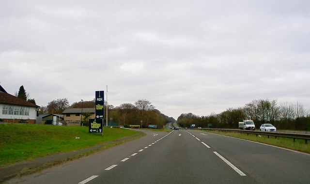
///trees.doses.spaces. Near Colsterworth, Lincolnshire
Nearby Locations
Related Wikis
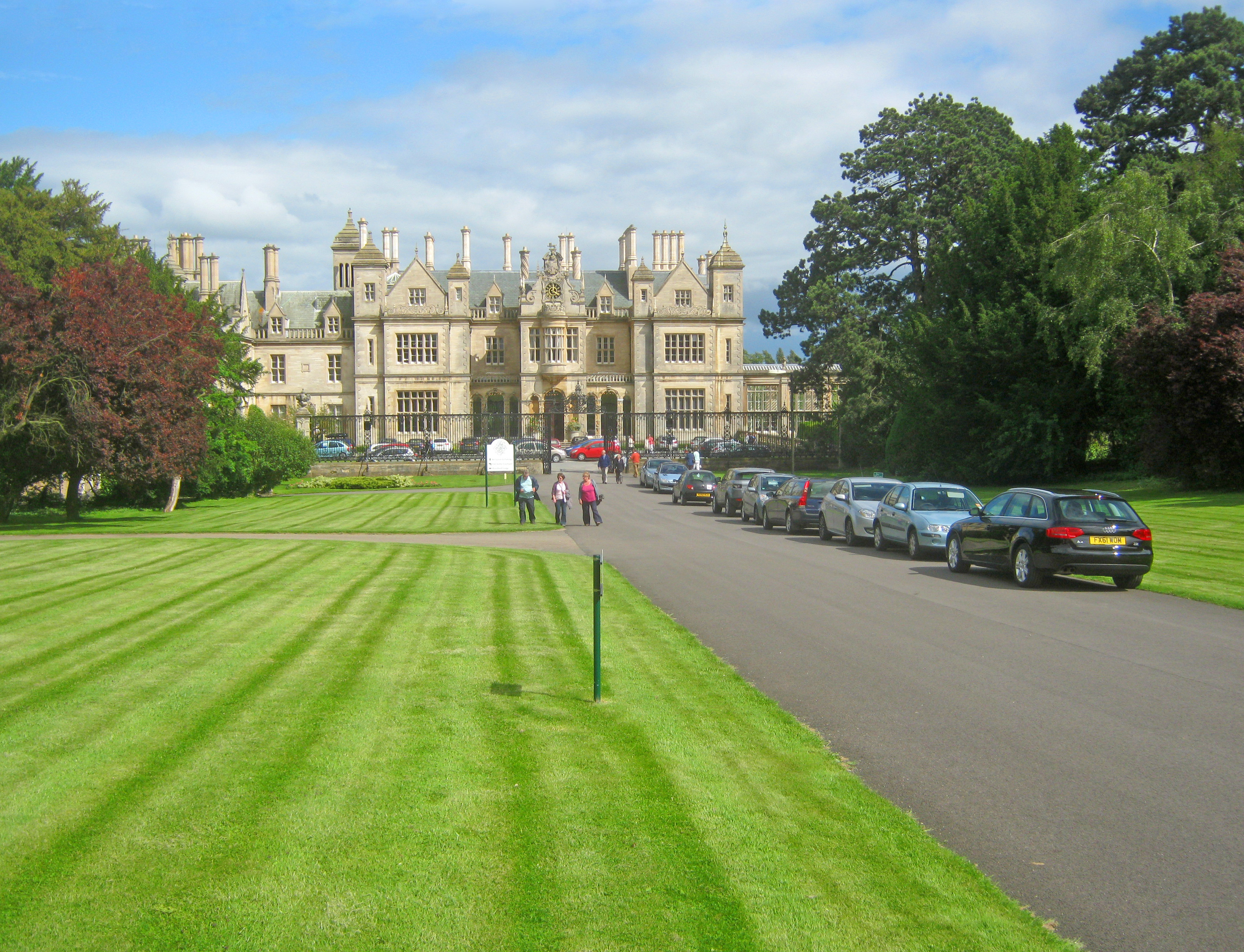
Stoke Rochford Hall
Stoke Rochford Hall is a large house built in scenic grounds, with a nearby golf course, next to the A1 in south Lincolnshire, England. The parkland and...

Stoke Rochford
Stoke Rochford is a small English village and civil parish 5.5 miles (9 km) south of Grantham in the South Kesteven district of Lincolnshire. The population...

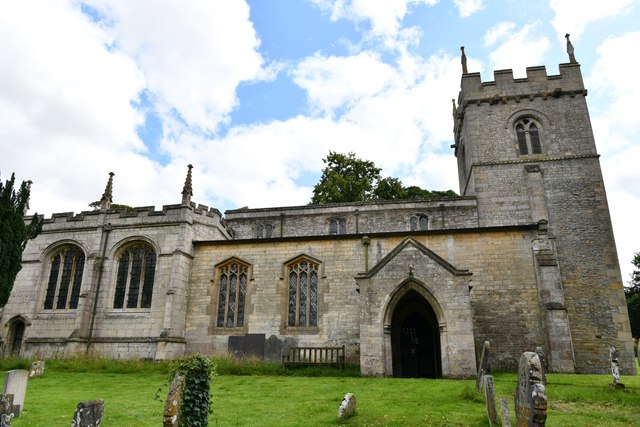
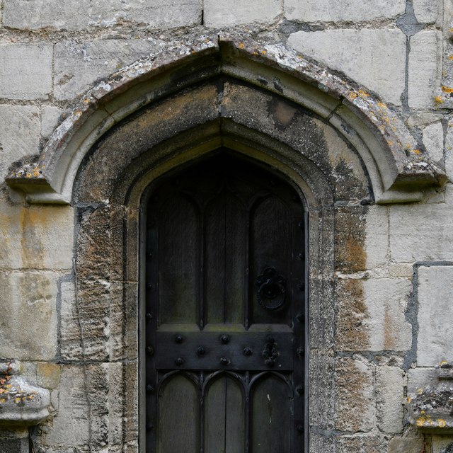
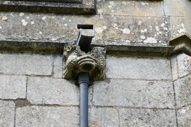
St Andrew and St Mary's Church, Stoke Rochford
St Andrew and St Mary's Church is a Grade I listed Church of England parish church dedicated to Saint Andrew and Saint Mary, in the parish of Easton and...

Great Ponton
Great Ponton is an English village and civil parish in the South Kesteven district of Lincolnshire, 3 miles (5 km) south of Grantham on the A1 trunk road...
Nearby Amenities
Located within 500m of 52.849169,-0.64168429Have you been to Farm Plantation?
Leave your review of Farm Plantation below (or comments, questions and feedback).