Kennel Plantation
Wood, Forest in Lincolnshire South Kesteven
England
Kennel Plantation

Kennel Plantation is a beautiful woodland area located in Lincolnshire, England. Covering a vast expanse, it is often referred to as Wood or Forest by the locals. The plantation is known for its serene and tranquil atmosphere, making it a popular destination for nature enthusiasts and outdoor adventurers.
The woodland is home to a diverse range of flora and fauna, boasting a rich ecosystem. Towering oak, beech, and pine trees dominate the landscape, providing a lush canopy that offers shade and shelter to the local wildlife. The forest floor is adorned with a carpet of vibrant wildflowers, adding a burst of color to the surroundings.
Numerous walking trails and footpaths weave through the plantation, allowing visitors to explore the woodland at their leisure. These trails are well-maintained and suitable for all fitness levels, making them ideal for a leisurely stroll or a vigorous hike. Along the way, visitors may encounter a variety of wildlife, including deer, squirrels, and a plethora of bird species, making it a haven for birdwatchers.
In addition to its natural beauty, Kennel Plantation also offers various recreational activities. There are designated picnic areas where visitors can relax and enjoy a meal amidst the tranquil surroundings. The plantation is also a popular spot for camping and nature retreats, with several camping sites and facilities available for those wishing to spend a night under the stars.
Overall, Kennel Plantation in Lincolnshire is a haven of natural beauty, offering a peaceful escape from the hustle and bustle of daily life. Whether it's a leisurely walk, a picnic, or a camping adventure, this woodland paradise has something to offer for everyone.
If you have any feedback on the listing, please let us know in the comments section below.
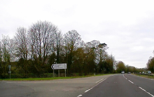
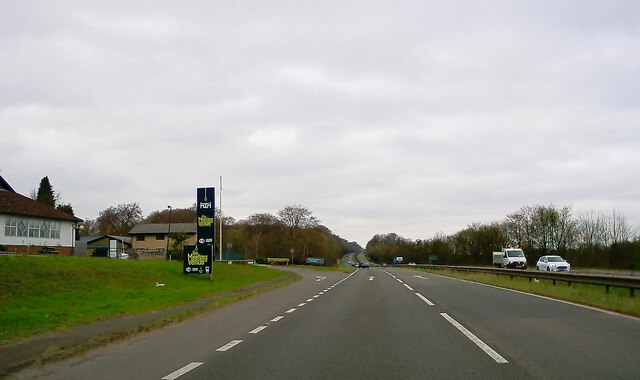
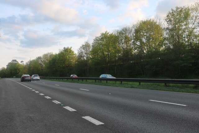
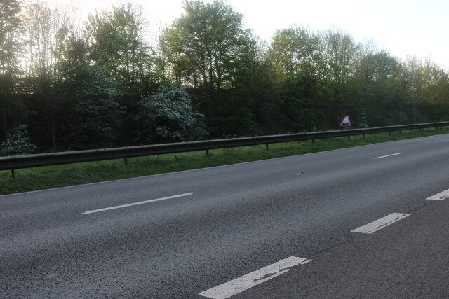
Kennel Plantation Images
Images are sourced within 2km of 52.842587/-0.64871954 or Grid Reference SK9128. Thanks to Geograph Open Source API. All images are credited.


Kennel Plantation is located at Grid Ref: SK9128 (Lat: 52.842587, Lng: -0.64871954)
Administrative County: Lincolnshire
District: South Kesteven
Police Authority: Lincolnshire
What 3 Words
///suitable.overjoyed.upward. Near Colsterworth, Lincolnshire
Nearby Locations
Related Wikis
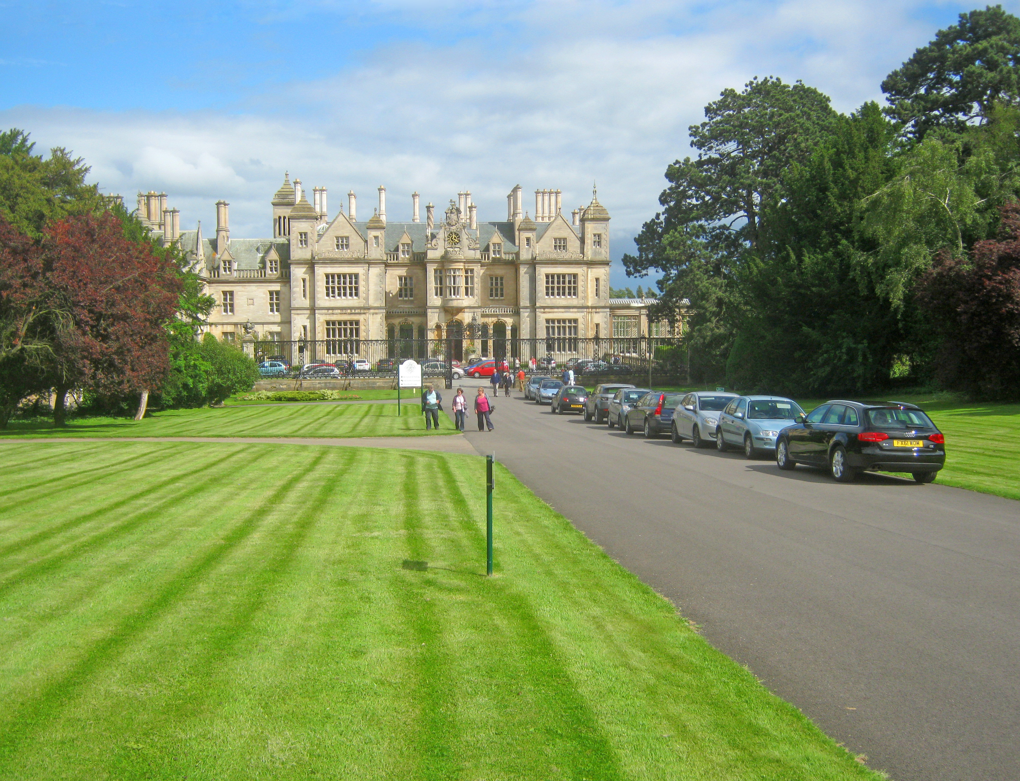
Stoke Rochford Hall
Stoke Rochford Hall is a large house built in scenic grounds, with a nearby golf course, next to the A1 in south Lincolnshire, England. The parkland and...

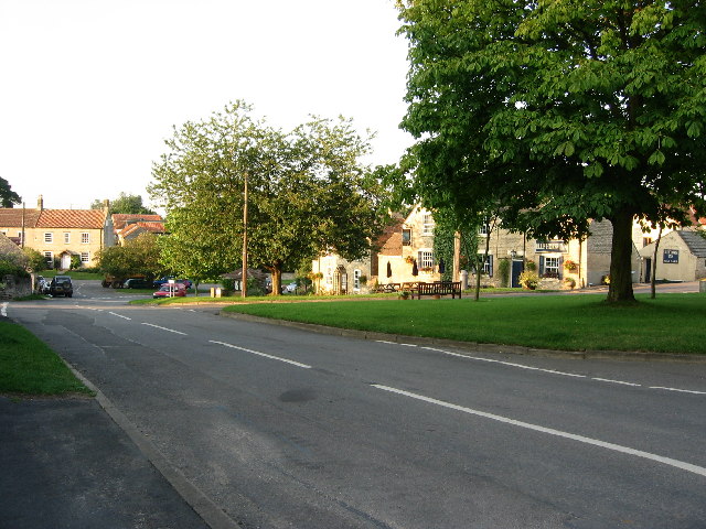
Stoke Rochford
Stoke Rochford is a small English village and civil parish 5.5 miles (9 km) south of Grantham in the South Kesteven district of Lincolnshire. The population...

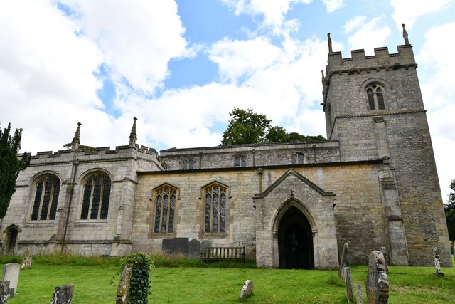
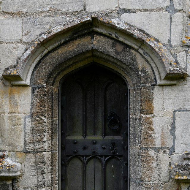
St Andrew and St Mary's Church, Stoke Rochford
St Andrew and St Mary's Church is a Grade I listed Church of England parish church dedicated to Saint Andrew and Saint Mary, in the parish of Easton and...

Great Ponton
Great Ponton is an English village and civil parish in the South Kesteven district of Lincolnshire, 3 miles (5 km) south of Grantham on the A1 trunk road...
Skillington
Skillington is a village and civil parish in the South Kesteven district of Lincolnshire, England. The population of the civil parish at the 2021 census...

Ellys Manor House
Ellys Manor House (pronounced "Ellis"), or the Old Rectory is a late-fifteenth to early sixteenth century manor house in Great Ponton, Lincolnshire, England...

Ponton Heath Barrow Cemetery
The Ponton Heath Barrow Cemetery is a group of at least eleven Middle Bronze Age round barrows south of Grantham, in the South Kesteven district of Lincolnshire...

Stroxton
Stroxton () is a village in the South Kesteven district of Lincolnshire, England. It is situated 3 miles (4.8 km) south from the centre of Grantham and...
Nearby Amenities
Located within 500m of 52.842587,-0.64871954Have you been to Kennel Plantation?
Leave your review of Kennel Plantation below (or comments, questions and feedback).