Sewage Plantation
Wood, Forest in Lincolnshire South Kesteven
England
Sewage Plantation

The Sewage Plantation in Lincolnshire, specifically located in Wood, Forest, is an essential infrastructure facility that plays a crucial role in waste management and environmental protection. This sewage treatment plant serves as a central hub for processing and treating wastewater from various sources within the region.
The plantation utilizes advanced technology and processes to effectively remove impurities and harmful substances from the sewage before it is safely discharged back into the environment. The treatment process involves several stages, including screening, settling, and biological treatment, to ensure that the wastewater meets strict quality standards set by regulatory bodies.
To facilitate the treatment process, the Sewage Plantation is equipped with state-of-the-art machinery, such as pumps, filters, and chemical dosing systems. Highly trained and skilled personnel operate and monitor the entire facility to ensure its smooth and efficient operation.
In addition to wastewater treatment, the Sewage Plantation also plays a crucial role in producing bio-solids, which are rich in nutrients and can be utilized as fertilizers for agricultural purposes. These bio-solids undergo a separate treatment process to remove any remaining impurities and are then processed into a safe and valuable resource for farming.
Overall, the Sewage Plantation in Wood, Forest, Lincolnshire, is a vital infrastructure facility that effectively manages wastewater and contributes to environmental sustainability. It ensures the protection of water bodies, promotes the responsible use of resources, and supports the local agricultural sector through the production of bio-solids.
If you have any feedback on the listing, please let us know in the comments section below.
Sewage Plantation Images
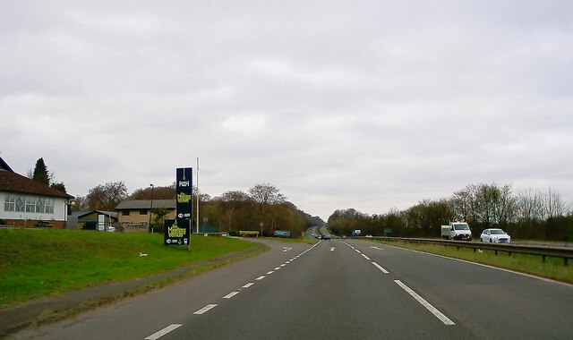
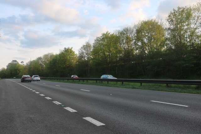
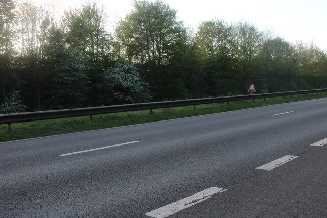
Images are sourced within 2km of 52.844732/-0.6381849 or Grid Reference SK9128. Thanks to Geograph Open Source API. All images are credited.


Sewage Plantation is located at Grid Ref: SK9128 (Lat: 52.844732, Lng: -0.6381849)
Administrative County: Lincolnshire
District: South Kesteven
Police Authority: Lincolnshire
What 3 Words
///webcams.scaffold.organist. Near Colsterworth, Lincolnshire
Nearby Locations
Related Wikis
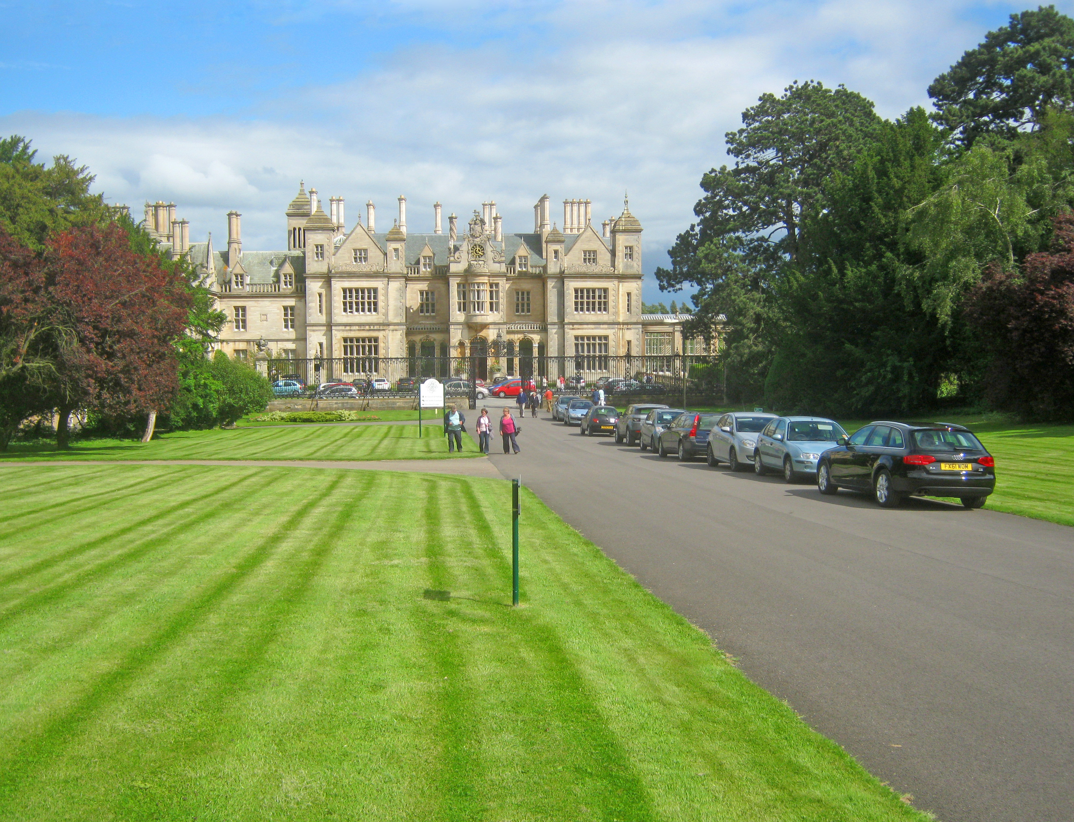
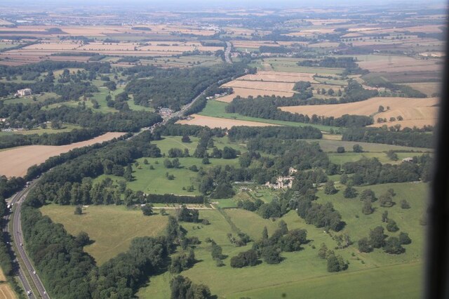
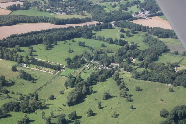
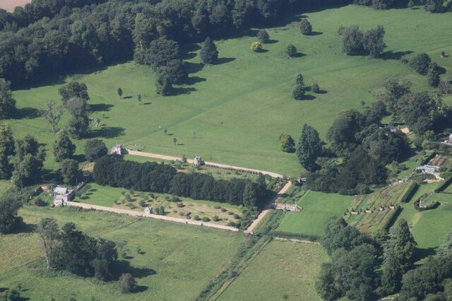
Stoke Rochford Hall
Stoke Rochford Hall is a large house built in scenic grounds, with a nearby golf course, next to the A1 in south Lincolnshire, England. The parkland and...

Stoke Rochford
Stoke Rochford is a small English village and civil parish 5.5 miles (9 km) south of Grantham in the South Kesteven district of Lincolnshire. The population...

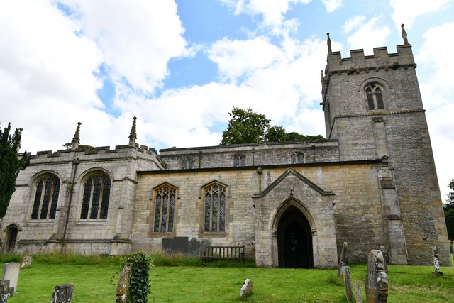
St Andrew and St Mary's Church, Stoke Rochford
St Andrew and St Mary's Church is a Grade I listed Church of England parish church dedicated to Saint Andrew and Saint Mary, in the parish of Easton and...

Great Ponton
Great Ponton is an English village and civil parish in the South Kesteven district of Lincolnshire, 3 miles (5 km) south of Grantham on the A1 trunk road...

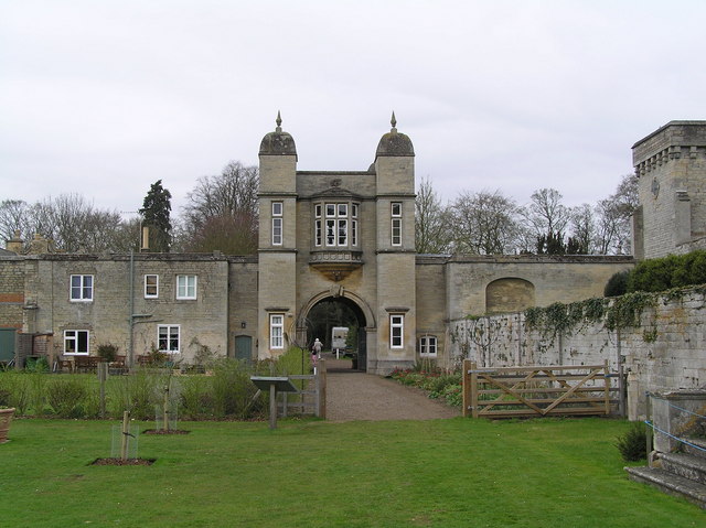
Ellys Manor House
Ellys Manor House (pronounced "Ellis"), or the Old Rectory is a late-fifteenth to early sixteenth century manor house in Great Ponton, Lincolnshire, England...

Great Ponton railway station
Great Ponton railway station was a station on the East Coast Main Line at Great Ponton, Lincolnshire, England. The Great Northern Railway opened it in...

Grantham Rural District
Grantham was a rural district in Lincolnshire, Parts of Kesteven from 1894 to 1931. It was created by the Local Government Act 1894 based on the Grantham...
Easton, Lincolnshire
Easton is a village in the South Kesteven district of Lincolnshire, England, almost 2 miles (3.2 km) north of Colsterworth, and 1 mile (1.6 km) east of...
Related Videos
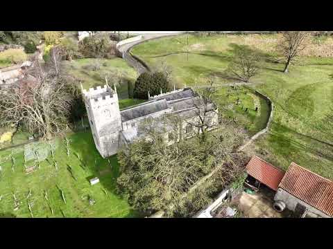
St Andrew and St Mary's church in Stoke Rochford.
Music: Young Me Dreaming Musician: Carl Storm St. Andrew and St. Mary, Stoke Rochford, is one of the most beautiful churches ...

Woolsthorpe Manor - Rural Capers Touring Company
Rural Capers Touring Company Checkout our website http://ruralcapers.com We do high end historic tours for small groups of ...

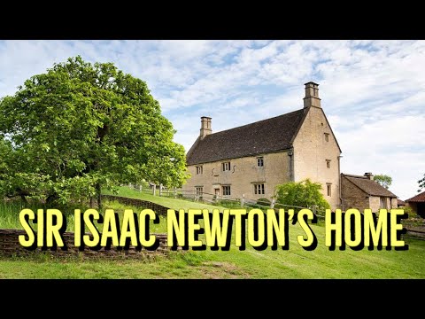
Our visit to Sir Isaac Newton's home, Woolsthorpe Manor
Woolsthorpe Manor tells the story of Newton's time at Woolsthorpe, from his birth and childhood to the discoveries of his Year of ...
Nearby Amenities
Located within 500m of 52.844732,-0.6381849Have you been to Sewage Plantation?
Leave your review of Sewage Plantation below (or comments, questions and feedback).