Chase Wood
Wood, Forest in Sussex Chichester
England
Chase Wood
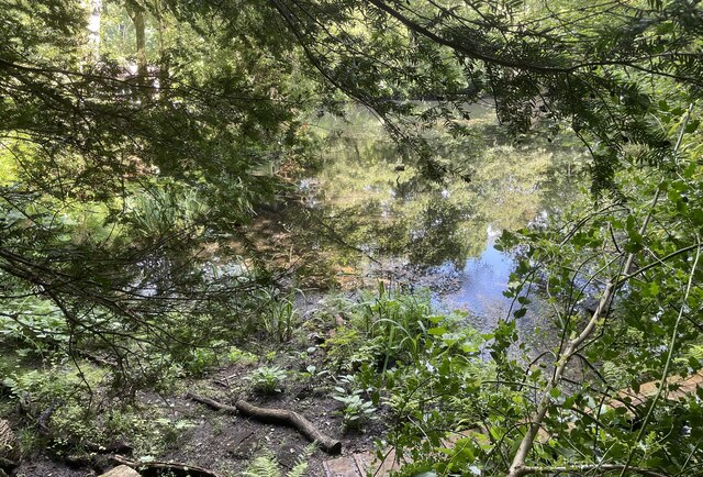
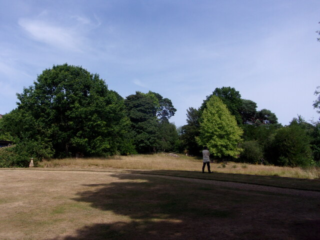
Chase Wood, Sussex is a picturesque forest located in the southern region of England. Covering an expansive area of land, it is a popular destination for nature enthusiasts and outdoor adventurers. The wood is part of the larger Sussex Forest and is known for its diverse range of flora and fauna.
The wood is characterized by its dense canopy of towering trees, predominantly oak and beech. These majestic trees provide a habitat for a variety of wildlife, including deer, foxes, badgers, and a wide array of bird species. It is not uncommon to spot woodpeckers, owls, and even rare species such as the nightjar within the wood.
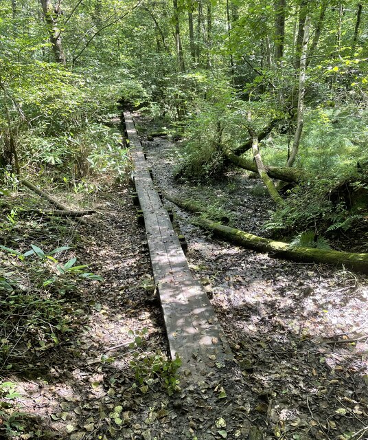
Chase Wood offers a network of well-maintained trails, allowing visitors to explore its beauty at their own pace. These trails cater to different skill levels, offering options for casual strolls as well as more challenging hikes. The wood also features picnic areas, making it an ideal spot for families and groups to enjoy a day outdoors.
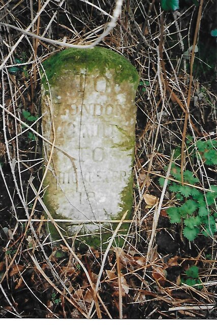
In addition to its natural beauty, Chase Wood holds historical significance. It has been a protected area for centuries, with evidence of human activity dating back to the Iron Age. Ancient earthworks and burial mounds can still be seen within the wood, providing a glimpse into its rich past.
Overall, Chase Wood, Sussex is a captivating forest that offers a tranquil retreat for nature lovers. With its stunning landscapes, diverse wildlife, and historical significance, it continues to attract visitors from near and far, providing a sanctuary for those seeking solace in nature.
If you have any feedback on the listing, please let us know in the comments section below.
Chase Wood Images
Images are sourced within 2km of 51.072887/-0.70166965 or Grid Reference SU9131. Thanks to Geograph Open Source API. All images are credited.


Chase Wood is located at Grid Ref: SU9131 (Lat: 51.072887, Lng: -0.70166965)
Administrative County: West Sussex
District: Chichester
Police Authority: Sussex
What 3 Words
///communal.oxidation.episode. Near Haslemere, Surrey
Nearby Locations
Related Wikis

Haste Hill
Haste Hill is a hill near Haslemere, Surrey in England which was probably the original settlement of the town of Haslemere. It was used as the site of...

Haslemere Town Hall
Haslemere Town Hall is a municipal building in the High Street, Haslemere, Surrey, England. The structure, which serves as the meeting place of Haslemere...

Blackdown, West Sussex
Blackdown, or Black Down, summit elevation 279.7 metres (918 ft) AMSL, is the highest point in both the historic county of Sussex and the South Downs National...
The Curry Club
The Curry Club was founded by Pat Chapman in 1982, to further the understanding and appreciation of the cuisines of the Indian subcontinent. In 2007 it...

Haslemere Educational Museum
Haslemere Educational Museum was founded in 1888 by the eminent surgeon Sir Jonathan Hutchinson to display his growing collection of natural history specimens...
Haslemere
The town of Haslemere () and the villages of Shottermill and Grayswood are in south west Surrey, England, around 38 mi (62 km) south west of London. Together...
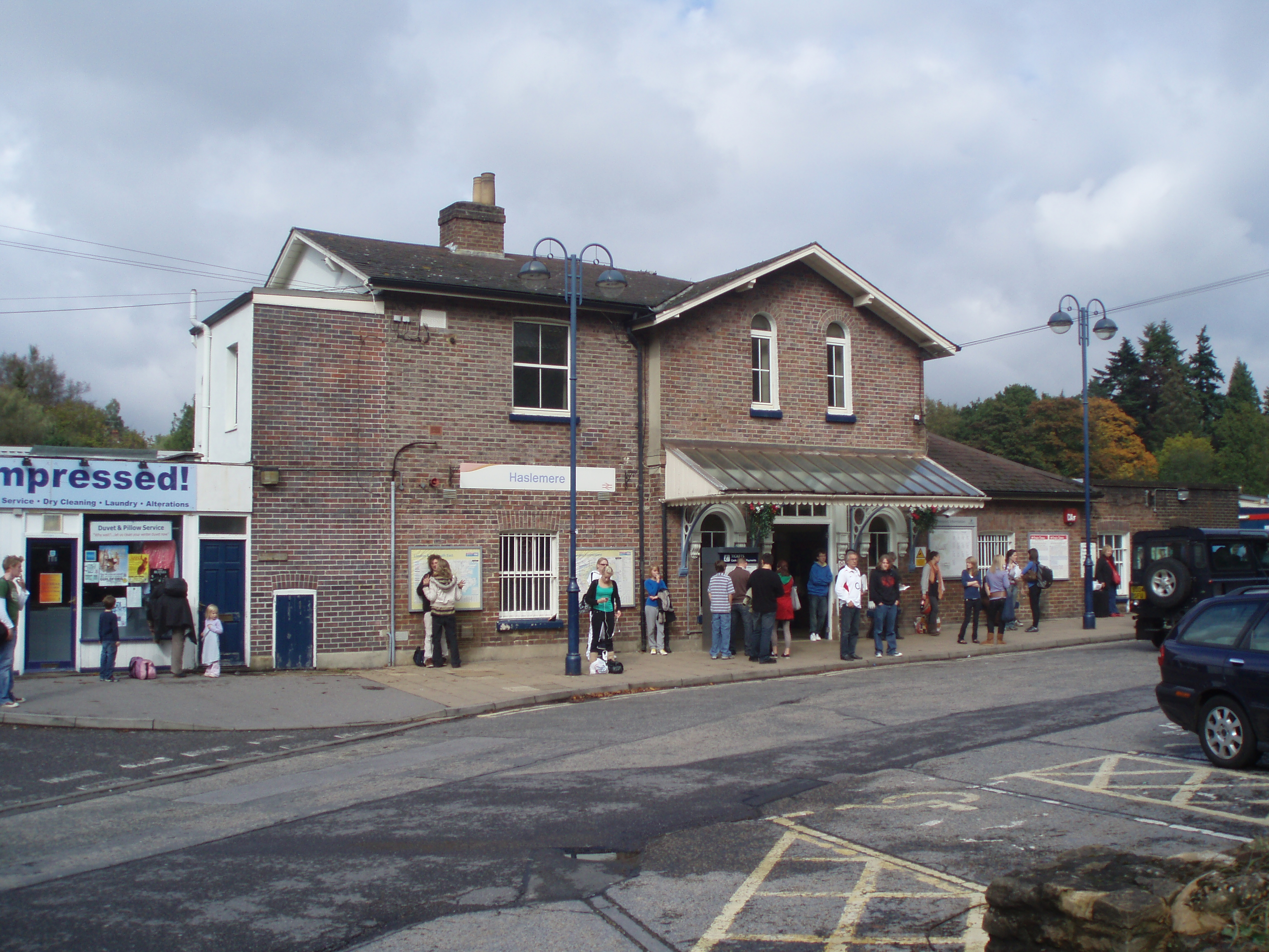
Haslemere railway station
Haslemere railway station is on the Portsmouth Direct Line, serving the town of Haslemere, Surrey, England. It is 42 miles 79 chains (69.2 km) down the...

Serpent Trail
The Serpent Trail is a 64-mile (103 km) long distance footpath. It runs from Haslemere to Petersfield, which are 11 miles apart in a straight line, by...
Nearby Amenities
Located within 500m of 51.072887,-0.70166965Have you been to Chase Wood?
Leave your review of Chase Wood below (or comments, questions and feedback).