Woodfield Copse

Wood, Forest in Sussex Chichester

England

Woodfield Copse

Inner Wall, Tuxlith Chapel This image shows the inner face of the west wall of the part of the chapel which was an extension to the original building. My grandparents and many other ancestors are interred around the chapel.
Inner Wall, Tuxlith Chapel Credit: Paul Collins

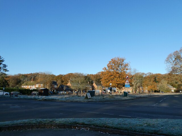
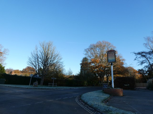
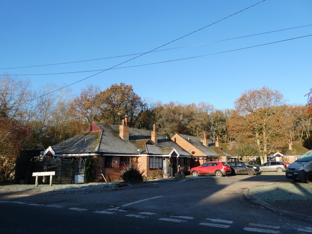
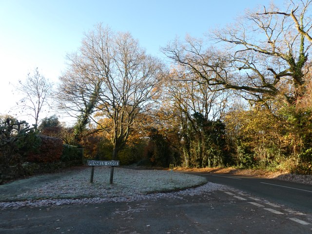
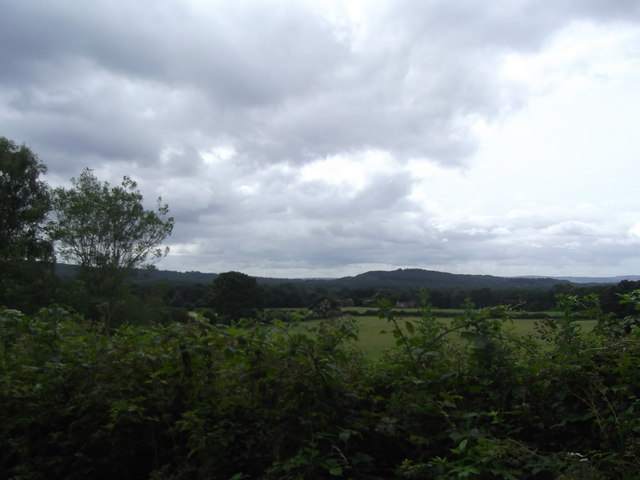
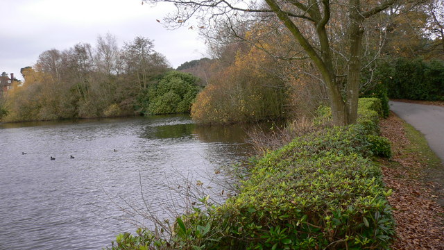
Woodfield Copse is a picturesque woodland area located in the county of Sussex, England. This enchanting forest covers an area of approximately 100 hectares and is renowned for its natural beauty and diverse ecosystem. The copse is situated within close proximity to several small villages, providing locals and visitors with easy access to its tranquil surroundings.

This woodland is home to a wide variety of tree species, including oak, beech, and birch, which create a dense and lush canopy overhead, providing shade and shelter for an array of wildlife. The forest floor is adorned with a vibrant carpet of wildflowers, ferns, and moss, adding to the copse's natural charm.

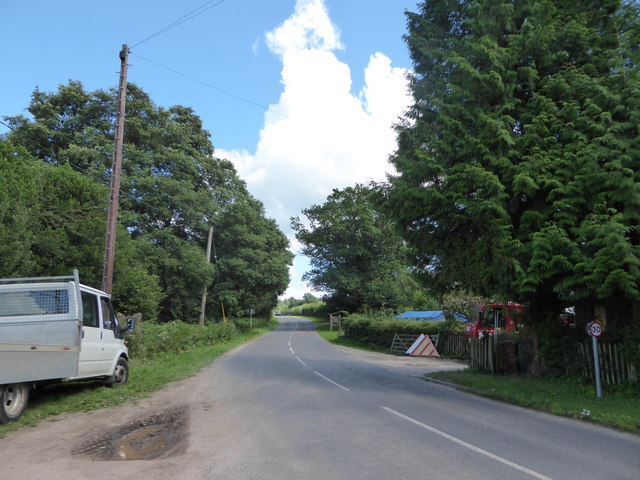
Woodfield Copse offers numerous walking trails and footpaths, allowing visitors to explore its captivating landscape. These paths wind through the forest, passing by babbling brooks and small ponds, creating a serene and calming atmosphere. The copse is a popular destination for nature enthusiasts, birdwatchers, and photographers, who come to appreciate the abundant wildlife that thrives within its boundaries.

The tranquil ambiance of Woodfield Copse also makes it an ideal spot for picnics, outdoor activities, and family outings. It provides a peaceful escape from the bustling city life, offering visitors an opportunity to immerse themselves in the wonders of nature. The copse is well-maintained, with designated picnic areas and benches strategically placed throughout the woodland.

Woodfield Copse is a true gem in the Sussex countryside, offering a serene retreat for those seeking solace in nature. Its breathtaking beauty and diverse ecosystem make it a must-visit destination for both locals and tourists alike.

If you have any feedback on the listing, please let us know in the comments section below.

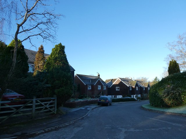
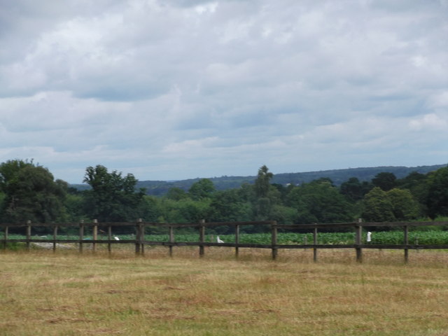
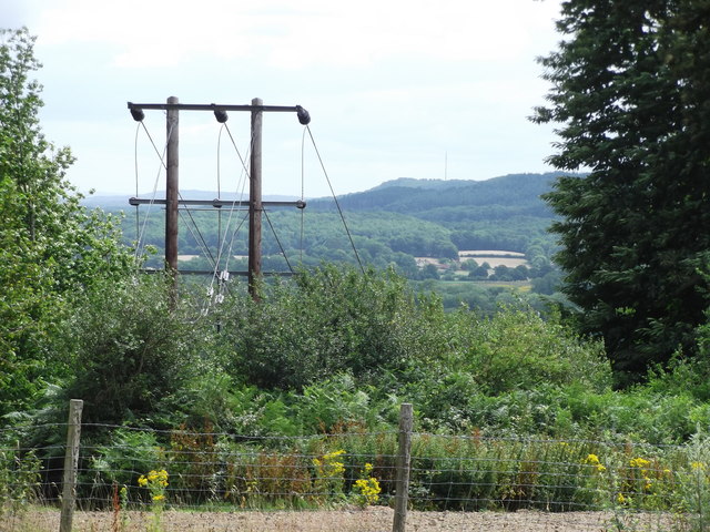
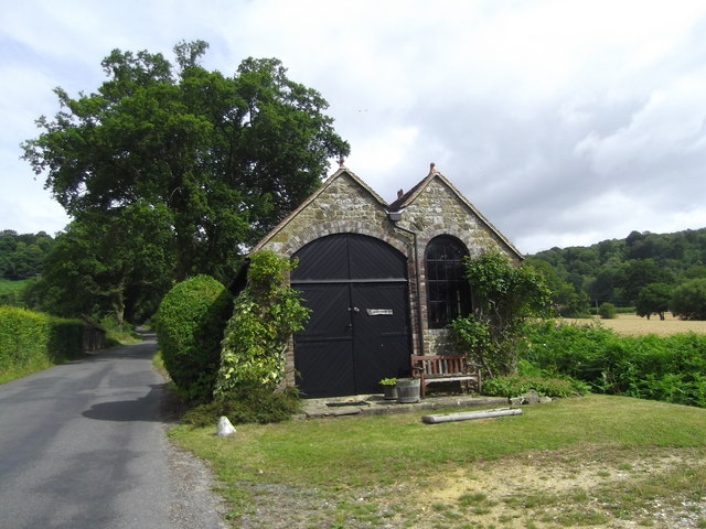
Woodfield Copse Images

Images are sourced within 2km of 51.042465/-0.80185809 or Grid Reference SU8427. Thanks to Geograph Open Source API. All images are credited.

Inner Wall, Tuxlith Chapel This image shows the inner face of the west wall of the part of the chapel which was an extension to the original building. My grandparents and many other ancestors are interred around the chapel.
Inner Wall, Tuxlith Chapel
This image shows the inner face of the west wall of the part of the chapel which was an extension to the original building. My grandparents and many other ancestors are interred around the chapel.
Tuxlith Chapel This ancient and redundant chapel has recently been re-roofed. Two of my grandparents and many other ancestors lie in the churchyard.
Tuxlith Chapel
This ancient and redundant chapel has recently been re-roofed. Two of my grandparents and many other ancestors lie in the churchyard.
Entrance to Milland Place
Road bridge at Milland Place
Milland: the first frost of this winter (a) Looking from the Rising Sun car park
Milland: the first frost of this winter (a)
Looking from the Rising Sun car park
Milland: the first frost of this winter (b) Milland: the first frost of this winter
Milland: the first frost of this winter (b)
Milland: the first frost of this winter
Milland: the first frost of this winter (c) Strettons Copse
Milland: the first frost of this winter (c)
Strettons Copse
Milland: the first frost of this winter (d) Junction of Iping Road and Pennels Close
Milland: the first frost of this winter (d)
Junction of Iping Road and Pennels Close
Milland: the first frost of this winter (e) Pennels Close
Milland: the first frost of this winter (e)
Pennels Close
Looking towards Weavers Downs Well I'm assuming the ridge in the distance is Weavers Downs. Anyway, photo taken from the bridleway that runs from Milland House to Wheatsheaf enclosure.
Looking towards Weavers Downs
Well I'm assuming the ridge in the distance is Weavers Downs. Anyway, photo taken from the bridleway that runs from Milland House to Wheatsheaf enclosure.
Milland to Midhurst Photo taken from the bridleway that runs from Milland House to Wheatsheaf Enclosure.

The mast in the distance is Midhurst Transmitter
Milland to Midhurst
Photo taken from the bridleway that runs from Milland House to Wheatsheaf Enclosure. The mast in the distance is Midhurst Transmitter
Interesting outbuilding Better than my 8 x 6 garden shed, this lovely looking summer house/garage caught my attention near Milland.
Interesting outbuilding
Better than my 8 x 6 garden shed, this lovely looking summer house/garage caught my attention near Milland.
Titty Hill Looking south from Home Farm, Milland.
Titty Hill
Looking south from Home Farm, Milland.
The Church of St Luke serving Milland and Rake Viewed from the south.
Tuxlith Chapel can be seen to the right of the picture. See <span class="nowrap"><a title="http://stlukesbenefice.co.uk/tuxlith-chapel-and-friends-of-tuxlith/" rel="nofollow ugc noopener" href="http://stlukesbenefice.co.uk/tuxlith-chapel-and-friends-of-tuxlith/">Link</a><img style="margin-left:2px;" alt="External link" title="External link - shift click to open in new window" src="https://s1.geograph.org.uk/img/external.png" width="10" height="10"/></span> for more detail.
The Church of St Luke serving Milland and Rake
Viewed from the south. Tuxlith Chapel can be seen to the right of the picture. See LinkExternal link for more detail.
Main road style pub in the middle of nowhere There's a story here. This ultra quiet road in Milland was going to be part of the proposed Petersfield by-pass; and the brewers put it up in anticipation of a roaring passing trade. However, the by-pass was re-routed to go the other side of Peef: doh!
Main road style pub in the middle of nowhere
There's a story here. This ultra quiet road in Milland was going to be part of the proposed Petersfield by-pass; and the brewers put it up in anticipation of a roaring passing trade. However, the by-pass was re-routed to go the other side of Peef: doh!
Looking north-east in Fernhurst Road
St Luke, Milland: kneelers
St Luke Milland: reredos (a)
Show me another place!

Woodfield Copse is located at Grid Ref: SU8427 (Lat: 51.042465, Lng: -0.80185809)

Administrative County: West Sussex

District: Chichester

Police Authority: Sussex

What 3 Words

///buddy.urge.picturing. Near Liphook, Hampshire

Related Wikis

Milland

Milland is a village and civil parish in the Chichester district of West Sussex, England. It is situated north of the A272 road on the border with Hampshire...
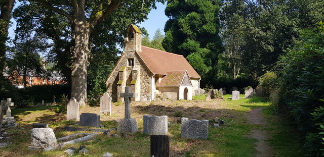
Tuxlith Chapel

Tuxlith Chapel, also known as Milland Old Church, is a redundant Anglican church in the village of Milland, West Sussex, England (grid reference SU 825...

Linch

Linch is an Anglican parish, and a loose collection of hamlets that make up the civil parish of the same name in the Chichester District of West Sussex...

Hollycombe Steam Collection

The Hollycombe Steam Collection is a collection of steam-powered vehicles, amusement rides, and attractions in South East England. It is based in West...

Chapel Common

Chapel Common is a 101-hectare (250-acre) biological Site of Special Scientific Interest west of Fernhurst in West Sussex. A Roman road through the common...

Titty Hill

Titty Hill is a hamlet in the civil parish of Milland in the Chichester district of West Sussex, England. It is close to a Roman way station or mansio...

Forest Mere

Forest Mere is a 14.6-hectare (36-acre) biological Site of Special Scientific Interest north of Midhurst in West Sussex.The site consists of Folly Pond...

Liphook railway station

Liphook railway station serves the large village of Liphook, in Hampshire, England. It is on the Portsmouth Direct Line, 46 miles 67 chains (75.4 km) down...

Nearby Amenities

Located within 500m of 51.042465,-0.80185809
Bus Stop
Old Post Office
Bus: yes
Naptan AtcoCode: 4400MO0109
Naptan Bearing: E
Naptan BusStopType: CUS
Naptan CommonName: Old Post Office
Naptan Indicator: adj Wardley turn
Naptan Landmark: road to Wardley
Naptan NaptanCode: wsxdgwgm
Naptan Street: Fernhurst Road
Naptan Verified: no
Public Transport: platform
Source: naptan_import
Lat/Long: 51.0406855/-0.7955022
Bus Stop
Rake Road
Bus: yes
Naptan AtcoCode: 4400MO0333
Naptan Bearing: NE
Naptan BusStopType: CUS
Naptan CommonName: Rake Road
Naptan Indicator: opp Fernhurst Road
Naptan Landmark: Fernhurst Road
Naptan NaptanCode: wsxdjmtw
Naptan Street: Rake Road
Naptan Verified: no
Public Transport: platform
Source: naptan_import
Lat/Long: 51.0391952/-0.8009896
Bus Stop
Rake Road
Bus: yes
Naptan AtcoCode: 4400MO0334
Naptan Bearing: SW
Naptan BusStopType: CUS
Naptan CommonName: Rake Road
Naptan Indicator: adj Fernhurst Road
Naptan Landmark: Fernhurst Road
Naptan NaptanCode: wsxdjmwa
Naptan Street: Rake Road
Naptan Verified: no
Public Transport: platform
Source: naptan_import
Lat/Long: 51.0391466/-0.8006343
Woodfield Copse
Place: locality
Lat/Long: 51.0421947/-0.8052303
Post Box
Collection Times: Mo-Fr 16:00; Sa 08:30
Post Box Type: lamp
Ref: GU30 143
Royal Cypher: EIIR
Royal Cypher Wikidata: Q33102113
Lat/Long: 51.0406457/-0.7956173
Location Transition: yes
Power: pole
Lat/Long: 51.045899/-0.8014199
Turning Circle
Lat/Long: 51.039119/-0.7982329
The data included in this document is from www.openstreetmap.org. The data is made available under ODbL.

Have you been to Woodfield Copse?

Leave your review of Woodfield Copse below (or comments, questions and feedback).