Wardley Marsh

Coastal Marsh, Saltings in Sussex Chichester

England

Wardley Marsh

New Lipchis Way I've just realised where the "New Lipchis Way" gets its name. It's a 39-mile walk from Liphook (Lip) to Chichester Harbour (chis). There's an excellent view to the east from the bank on the left of the path.
New Lipchis Way Credit: Ian Cunliffe

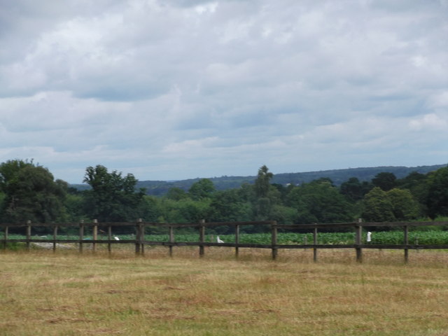
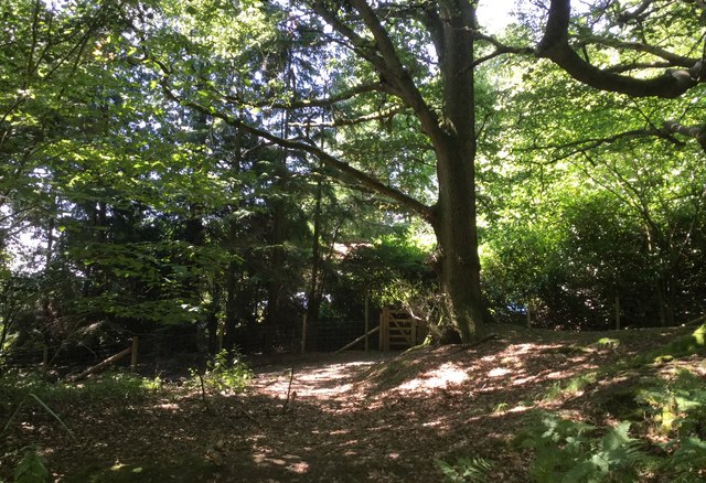
Wardley Marsh, located in Sussex, England, is a stunning coastal marshland renowned for its unique ecosystem and picturesque beauty. Covering an area of approximately 500 acres, this marsh is characterized by its saline environment and abundance of salt-tolerant vegetation, making it a prime example of a coastal salt marsh.

The marsh is situated along the shoreline, providing a vital buffer zone between the land and sea. It is influenced by the tides, with the water levels fluctuating throughout the day. During high tide, the marsh is partially submerged, while during low tide, vast expanses of mudflats are exposed.

The vegetation of Wardley Marsh is adapted to the saline conditions and includes species such as sea lavender, sea aster, and cordgrass. These plants not only add vibrant colors to the landscape but also play a crucial role in stabilizing the marshland and providing habitat for numerous bird species.

Speaking of birds, Wardley Marsh is a haven for birdwatchers and ornithologists alike. The marsh serves as an important feeding and resting ground for migratory birds, offering them abundant food sources and shelter. Visitors can spot a variety of bird species throughout the year, including waders like curlews and redshanks, as well as ducks, geese, and seabirds.

In addition to its ecological significance, Wardley Marsh also offers recreational opportunities for nature enthusiasts. Visitors can explore the marsh via designated trails, observing the diverse wildlife and enjoying the serene atmosphere. It is a popular spot for walking, photography, and simply immersing oneself in the tranquility of nature.

Overall, Wardley Marsh in Sussex is a captivating coastal marshland that showcases the beauty and resilience of nature. Its unique ecosystem, diverse birdlife, and stunning landscapes make it a must-visit destination for both nature lovers and those seeking a peaceful retreat.

If you have any feedback on the listing, please let us know in the comments section below.

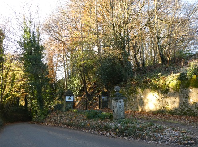
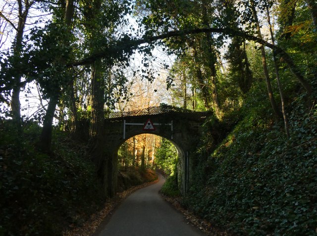
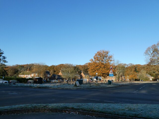
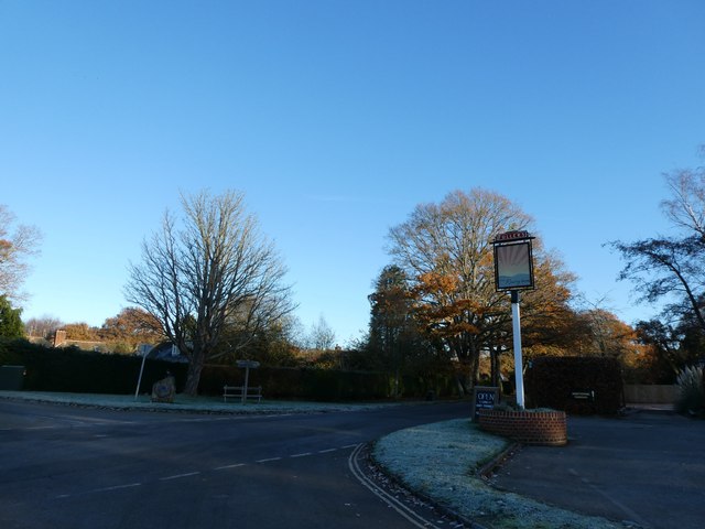
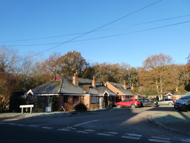
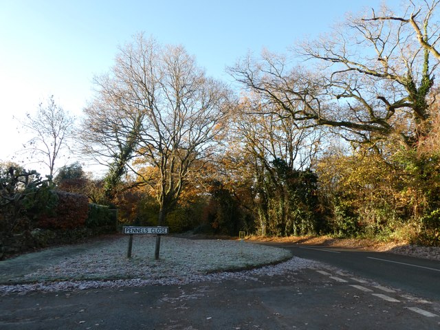
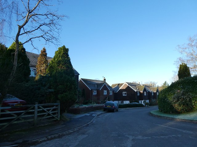
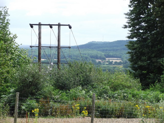
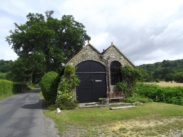
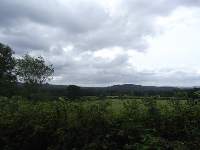
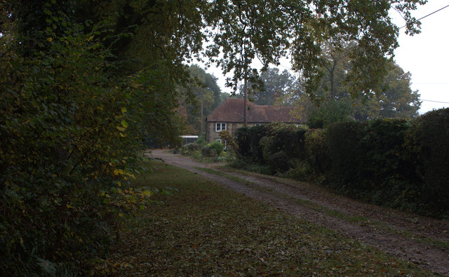
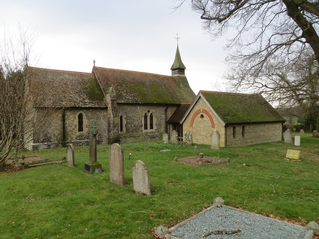
Wardley Marsh Images

Images are sourced within 2km of 51.043146/-0.79282528 or Grid Reference SU8427. Thanks to Geograph Open Source API. All images are credited.

New Lipchis Way I've just realised where the "New Lipchis Way" gets its name. It's a 39-mile walk from Liphook (Lip) to Chichester Harbour (chis). There's an excellent view to the east from the bank on the left of the path.
New Lipchis Way
I've just realised where the "New Lipchis Way" gets its name. It's a 39-mile walk from Liphook (Lip) to Chichester Harbour (chis). There's an excellent view to the east from the bank on the left of the path.
Entrance to Milland Place
Road bridge at Milland Place
Milland: the first frost of this winter (a) Looking from the Rising Sun car park
Milland: the first frost of this winter (a)
Looking from the Rising Sun car park
Milland: the first frost of this winter (b) Milland: the first frost of this winter
Milland: the first frost of this winter (b)
Milland: the first frost of this winter
Milland: the first frost of this winter (c) Strettons Copse
Milland: the first frost of this winter (c)
Strettons Copse
Milland: the first frost of this winter (d) Junction of Iping Road and Pennels Close
Milland: the first frost of this winter (d)
Junction of Iping Road and Pennels Close
Milland: the first frost of this winter (e) Pennels Close
Milland: the first frost of this winter (e)
Pennels Close
Looking towards Weavers Downs Well I'm assuming the ridge in the distance is Weavers Downs. Anyway, photo taken from the bridleway that runs from Milland House to Wheatsheaf enclosure.
Looking towards Weavers Downs
Well I'm assuming the ridge in the distance is Weavers Downs. Anyway, photo taken from the bridleway that runs from Milland House to Wheatsheaf enclosure.
Milland to Midhurst Photo taken from the bridleway that runs from Milland House to Wheatsheaf Enclosure.

The mast in the distance is Midhurst Transmitter
Milland to Midhurst
Photo taken from the bridleway that runs from Milland House to Wheatsheaf Enclosure. The mast in the distance is Midhurst Transmitter
Interesting outbuilding Better than my 8 x 6 garden shed, this lovely looking summer house/garage caught my attention near Milland.
Interesting outbuilding
Better than my 8 x 6 garden shed, this lovely looking summer house/garage caught my attention near Milland.
Titty Hill Looking south from Home Farm, Milland.
Titty Hill
Looking south from Home Farm, Milland.
Elmer's Marsh New Lipchis Way footpath joins the road here at Elmer's Marsh
Elmer's Marsh
New Lipchis Way footpath joins the road here at Elmer's Marsh
The Church of St Luke serving Linch with Iping Marsh Viewed from the north-east.
The Church of St Luke serving Linch with Iping Marsh
Viewed from the north-east.
Ordnance Survey Cut Mark This mark can be found on the wall of St Luke's Church at Woodmansgreen.
For more detail see : <span class="nowrap"><a title="http://www.bench-marks.org.uk/bm83714" rel="nofollow ugc noopener" href="http://www.bench-marks.org.uk/bm83714">Link</a><img style="margin-left:2px;" alt="External link" title="External link - shift click to open in new window" src="https://s1.geograph.org.uk/img/external.png" width="10" height="10"/></span>
Ordnance Survey Cut Mark
This mark can be found on the wall of St Luke's Church at Woodmansgreen. For more detail see : LinkExternal link
Main road style pub in the middle of nowhere There's a story here. This ultra quiet road in Milland was going to be part of the proposed Petersfield by-pass; and the brewers put it up in anticipation of a roaring passing trade. However, the by-pass was re-routed to go the other side of Peef: doh!
Main road style pub in the middle of nowhere
There's a story here. This ultra quiet road in Milland was going to be part of the proposed Petersfield by-pass; and the brewers put it up in anticipation of a roaring passing trade. However, the by-pass was re-routed to go the other side of Peef: doh!
Looking north-east in Fernhurst Road
Approaching the New Lipchis Way Beside an Oak and Beech tree the footpath through Parkgate Rough joins the New Lipchis Way.
Approaching the New Lipchis Way
Beside an Oak and Beech tree the footpath through Parkgate Rough joins the New Lipchis Way.
Show me another place!

Wardley Marsh is located at Grid Ref: SU8427 (Lat: 51.043146, Lng: -0.79282528)

Administrative County: West Sussex

District: Chichester

Police Authority: Sussex

What 3 Words

///brand.dirt.roughness. Near Liphook, Hampshire

Related Wikis

Milland

Milland is a village and civil parish in the Chichester district of West Sussex, England. It is situated north of the A272 road on the border with Hampshire...

Linch

Linch is an Anglican parish, and a loose collection of hamlets that make up the civil parish of the same name in the Chichester District of West Sussex...

Hollycombe Steam Collection

The Hollycombe Steam Collection is a collection of steam-powered vehicles, amusement rides, and attractions in South East England. It is based in West...

Titty Hill

Titty Hill is a hamlet in the civil parish of Milland in the Chichester district of West Sussex, England. It is close to a Roman way station or mansio...

Tuxlith Chapel

Tuxlith Chapel, also known as Milland Old Church, is a redundant Anglican church in the village of Milland, West Sussex, England (grid reference SU 825...

Chapel Common

Chapel Common is a 101-hectare (250-acre) biological Site of Special Scientific Interest west of Fernhurst in West Sussex. A Roman road through the common...

Western Weald

The western Weald is an area of undulating countryside in Hampshire and West Sussex containing a mixture of woodland and heathland areas. It lies to the...

Liphook railway station

Liphook railway station serves the large village of Liphook, in Hampshire, England. It is on the Portsmouth Direct Line, 46 miles 67 chains (75.4 km) down...

Related Videos

Marvellous model Gallopers

Amazing Model gallopers at our Fairground weekend.

Hollycombe Steam In The Country! - A Great Day Out

Join us as we visit Hollycombe Steam In The Country located in Liphook, Hampshire, England which is mainly run and maintained ...

Fairground Model Attractions at Hollycombe - Part 2

There were a number of working and illuminated fairground model attractions on display at Hollycombe Steam in the Country ...

swcwalks, book 1, walk 6, Liphook to Haslemere. 6/10/22

This was a splendid 10 mile woodland walk on the very northern extremity of the South Downs National Park, last 'filmed' in ...

Nearby Amenities

Located within 500m of 51.043146,-0.79282528
Bus Stop
Old Post Office
Bus: yes
Naptan AtcoCode: 4400MO0109
Naptan Bearing: E
Naptan BusStopType: CUS
Naptan CommonName: Old Post Office
Naptan Indicator: adj Wardley turn
Naptan Landmark: road to Wardley
Naptan NaptanCode: wsxdgwgm
Naptan Street: Fernhurst Road
Naptan Verified: no
Public Transport: platform
Source: naptan_import
Lat/Long: 51.0406855/-0.7955022
Bus Stop
Northend Farm
Bus: yes
Naptan AtcoCode: 4400MO0445
Naptan Bearing: W
Naptan BusStopType: CUS
Naptan CommonName: Northend Farm
Naptan Indicator: opp
Naptan Landmark: Hail & Ride
Naptan NaptanCode: wsxgadmj
Naptan Street: Rake Road
Naptan Verified: no
Public Transport: platform
Source: naptan_import
Lat/Long: 51.0406494/-0.789398
Bus Stop
Northend Farm
Bus: yes
Naptan AtcoCode: 4400MO0446
Naptan Bearing: E
Naptan BusStopType: CUS
Naptan CommonName: Northend Farm
Naptan Indicator: adj
Naptan Landmark: Hail & Ride
Naptan NaptanCode: wsxgadmp
Naptan Street: Rake Road
Naptan Verified: no
Public Transport: platform
Source: naptan_import
Lat/Long: 51.0407486/-0.789424
Post Box
Collection Times: Mo-Fr 16:00; Sa 08:30
Post Box Type: lamp
Ref: GU30 143
Royal Cypher: EIIR
Royal Cypher Wikidata: Q33102113
Lat/Long: 51.0406457/-0.7956173
Power: pole
Lat/Long: 51.0469758/-0.7896155
Power: pole
Lat/Long: 51.0462928/-0.7895914
Power: pole
Lat/Long: 51.0455913/-0.7895592
Power: pole
Lat/Long: 51.0446891/-0.7895136
The data included in this document is from www.openstreetmap.org. The data is made available under ODbL.

Have you been to Wardley Marsh?

Leave your review of Wardley Marsh below (or comments, questions and feedback).