Longhill Wood

Wood, Forest in Yorkshire

England

Longhill Wood

Kilnwick Percy Wood Looking across farmland towards woodland from Featherbed Lane.
Kilnwick Percy Wood Credit: DS Pugh

Longhill Wood is a picturesque woodland located in the county of Yorkshire, England. Situated in the heart of the countryside, this stunning forest covers an expansive area of approximately 500 acres. The wood is renowned for its natural beauty, offering visitors a tranquil escape from the hustle and bustle of everyday life.

The wood is predominantly made up of broadleaf trees, including oak, beech, and ash, which create a dense canopy overhead. These majestic trees provide a habitat for various wildlife species, such as birds, squirrels, and deer, making it a popular spot for nature enthusiasts and birdwatchers.

Longhill Wood is crisscrossed by numerous walking trails, allowing visitors to explore its serene surroundings at their own pace. These well-maintained paths wind their way through the forest, leading to hidden clearings, bubbling streams, and peaceful glades. The wood also boasts a small lake, perfect for a picnic or a moment of reflection.

Throughout the seasons, Longhill Wood transforms into a kaleidoscope of colors. In spring, the forest floor is carpeted with bluebells and daffodils, while in autumn, the trees are ablaze with vibrant shades of red, orange, and gold. This natural spectacle attracts photographers and artists seeking inspiration from the ever-changing landscape.

Longhill Wood is not only a haven for wildlife and nature enthusiasts but also a valuable resource for the local community. It provides a sustainable source of timber and supports the local economy through activities such as forest management and eco-tourism.

In conclusion, Longhill Wood is a captivating woodland paradise in Yorkshire, offering visitors a chance to connect with nature and experience the beauty of the English countryside.

If you have any feedback on the listing, please let us know in the comments section below.

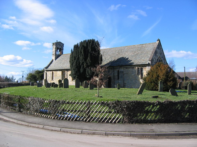
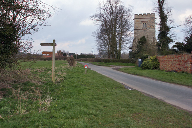
Longhill Wood Images

Images are sourced within 2km of 53.91523/-0.72121433 or Grid Reference SE8447. Thanks to Geograph Open Source API. All images are credited.

Kilnwick Percy Wood Looking across farmland towards woodland from Featherbed Lane.
Kilnwick Percy Wood
Looking across farmland towards woodland from Featherbed Lane.
Towards Cottage Farm Looking along Lowfield Lane towards Cottage Farm.
Towards Cottage Farm
Looking along Lowfield Lane towards Cottage Farm.
Along Lowfield Lane Looking along Lowfield Lane towards Nunburnholme.
Along Lowfield Lane
Looking along Lowfield Lane towards Nunburnholme.
Field off Lowfield Lane Looking across farmland near Stock Bridge.
Field off Lowfield Lane
Looking across farmland near Stock Bridge.
Farmland near Stock Bridge Looking across farmland near Nunburnholme from Lowfield Lane.
Farmland near Stock Bridge
Looking across farmland near Nunburnholme from Lowfield Lane.
Town Street Looking along Town Street from the junction with Butt Lane and Church Lane.
Town Street
Looking along Town Street from the junction with Butt Lane and Church Lane.
Along Town Street The edge of Nunburnholme.
Along Town Street
The edge of Nunburnholme.
Chalky fields of Totterdown Hill Looking across towards Totterdownhill Farm.
Chalky fields of Totterdown Hill
Looking across towards Totterdownhill Farm.
Nunburnholme Hill Looking up Nunburnholme Hill on the Nunburnholme side. Hot work cycling up this on a very sunny august day.
Nunburnholme Hill
Looking up Nunburnholme Hill on the Nunburnholme side. Hot work cycling up this on a very sunny august day.
Down Nunburnholme Hill Looking towards Nunburnholme down the hill.
Down Nunburnholme Hill
Looking towards Nunburnholme down the hill.
Footpath off Nunburnholme Hill A sign pointing through the hedge and along the angled footpath.
Footpath off Nunburnholme Hill
A sign pointing through the hedge and along the angled footpath.
Down the hill Looking down Nunburnholme Hill from close to the summit.
Down the hill
Looking down Nunburnholme Hill from close to the summit.
View over the Vale of York Looking across farmland on Nunburnholme Hill and over the Vale of York.
View over the Vale of York
Looking across farmland on Nunburnholme Hill and over the Vale of York.
Rainbow near Partridge Hall Farm
St James Church, Nunburnholme
Yorkshire Wolds Way towards Wold Farm
Path junction north of Bratt Wood
Show me another place!

Longhill Wood is located at Grid Ref: SE8447 (Lat: 53.91523, Lng: -0.72121433)

Division: East Riding

Unitary Authority: East Riding of Yorkshire

Police Authority: Humberside

What 3 Words

///beakers.backhand.browser. Near Hayton, East Yorkshire

Nearby Locations

Longhill Wood

Related Wikis

Burnby

Burnby is a village and former civil parish, now in the parish of Hayton, in the East Riding of Yorkshire, England. It is situated approximately 2.5 miles...

Pocklington Rural District

Pocklington was a rural district in the East Riding of Yorkshire, England from 1894 to 1974.The district surrounded but did not originally include Pocklington...

Nunburnholme

Nunburnholme is a village and civil parish in the East Riding of Yorkshire, England. It is approximately 3 miles (5 km) east of the market town of Pocklington...

Nunburnholme railway station

Nunburnholme railway station was a railway station on the York to Beverley Line in the East Riding of Yorkshire, England. It opened in 1848 as Burnby,...

Nearby Amenities

Located within 500m of 53.91523,-0.72121433
Power: pole
Lat/Long: 53.9166808/-0.7162625
Power: pole
Lat/Long: 53.9149321/-0.7269216
Power: pole
Lat/Long: 53.9158947/-0.7210475
Power: pole
Lat/Long: 53.9152591/-0.724977
Power: pole
Lat/Long: 53.9163143/-0.7185182
Power: pole
Lat/Long: 53.9155624/-0.7230511
Material: wood
Power: pole
Lat/Long: 53.9178716/-0.7155801
Material: wood
Power: pole
Lat/Long: 53.9173775/-0.7163879
Material: wood
Power: pole
Lat/Long: 53.916834/-0.7172499
Material: wood
Power: pole
Lat/Long: 53.9161774/-0.7183029
Material: wood
Power: pole
Lat/Long: 53.9155446/-0.7193191
Material: wood
Power: pole
Lat/Long: 53.9149039/-0.7203428
Material: wood
Power: pole
Lat/Long: 53.9142448/-0.7214291
Fixme: Not sure what is on this pole? Remote disconnector or AVR?
Material: wood
Power: pole
Lat/Long: 53.9135278/-0.7225528
Material: wood
Power: pole
Lat/Long: 53.9126937/-0.7234814
Material: wood
Power: pole
Switch: mechanical
Lat/Long: 53.911946/-0.7243163
The data included in this document is from www.openstreetmap.org. The data is made available under ODbL.

Have you been to Longhill Wood?

Leave your review of Longhill Wood below (or comments, questions and feedback).