Brickyard Copse
Wood, Forest in Sussex Chichester
England
Brickyard Copse

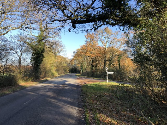
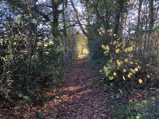
Brickyard Copse is a picturesque woodland located in Sussex, England. Covering an area of approximately 50 acres, it is a prominent feature of the local landscape and a cherished natural habitat. The copse is predominantly composed of broadleaf trees, including oak, ash, and beech, which create a dense canopy overhead, providing a sheltered and tranquil environment.
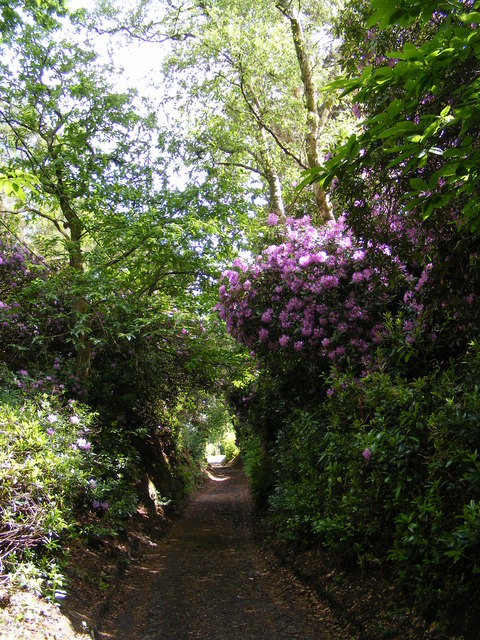
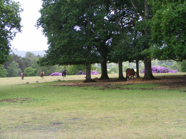
This woodland boasts a rich biodiversity, supporting a wide array of flora and fauna. Delicate wildflowers, such as bluebells and primroses, carpet the forest floor during springtime, while ferns and mosses thrive in the damp and shaded areas. The copse is also home to various bird species, including woodpeckers, owls, and tits, which can be heard and seen throughout the year.
Visitors to Brickyard Copse can enjoy a network of well-maintained footpaths that wind their way through the woods, allowing for peaceful walks and nature exploration. The dappled sunlight filtering through the trees casts a magical ambiance, making it a popular spot for nature enthusiasts, photographers, and families seeking an escape from the bustling city life.
In addition to its natural beauty, Brickyard Copse holds historical significance as well. The name itself suggests a former brick-making industry, indicating that the area was once utilized for this purpose. While remnants of this industry are no longer evident, the copse remains an enchanting testament to the power and resilience of nature.
Overall, Brickyard Copse provides a haven for wildlife, a recreational space for locals and visitors, and a reminder of the region's history. It is a cherished woodland that continues to captivate and inspire all who venture within its boundaries.
If you have any feedback on the listing, please let us know in the comments section below.
Brickyard Copse Images
Images are sourced within 2km of 50.973005/-0.80356057 or Grid Reference SU8419. Thanks to Geograph Open Source API. All images are credited.


Brickyard Copse is located at Grid Ref: SU8419 (Lat: 50.973005, Lng: -0.80356057)
Administrative County: West Sussex
District: Chichester
Police Authority: Sussex
What 3 Words
///straddled.goggle.crunched. Near Midhurst, West Sussex
Nearby Locations
Related Wikis

Elsted railway station
Elsted railway station served the village of Elsted in the county of West Sussex in England. The village itself was a mile away to the south-west. The...
Didling
Didling is a small village in West Sussex, England. On 1 April 1933 the parish was abolished and merged with Treyford. The 824 acre village consists of...

Iping and Stedham Commons
Iping and Stedham Commons is a nature reserve owned and managed by the Sussex Wildlife Trust. It is a 125.4-hectare (310-acre) biological Site of Special...
Treyford
Treyford is a hamlet, Anglican parish and former civil parish, now in the civil parish of Elsted and Treyford, in the Chichester district of West Sussex...
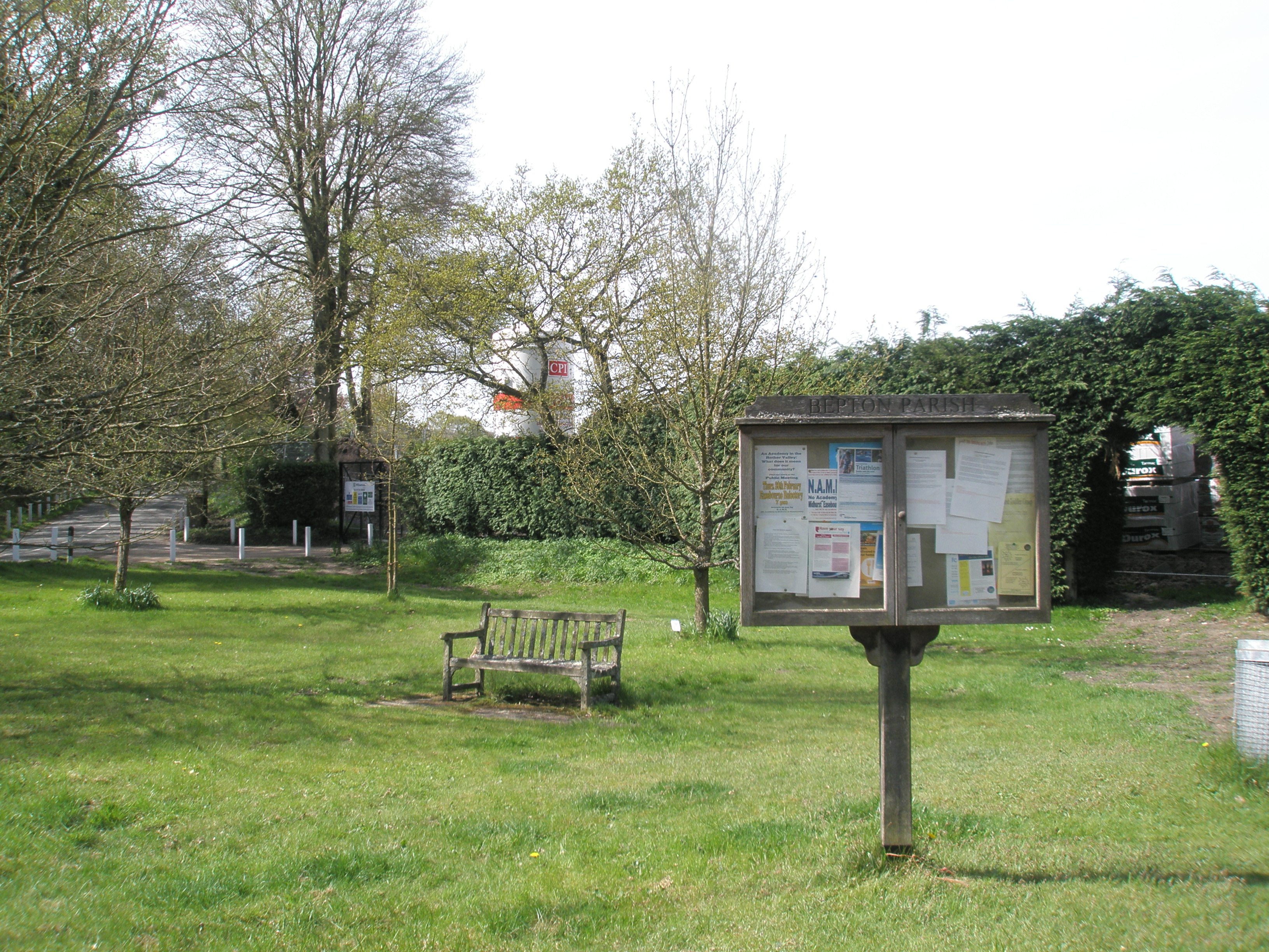
Bepton
Bepton is a village, Anglican parish and civil parish in the Chichester district of West Sussex, England. According to the 2001 census it had 104 households...
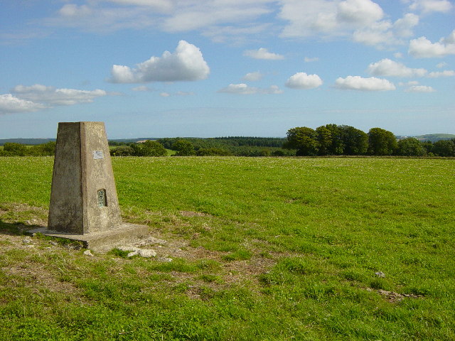
Treyford to Bepton Down
Treyford to Bepton Down is a 121.5-hectare (300-acre) biological Site of Special Scientific Interest south-west of Midhurst in West Sussex.This site consists...

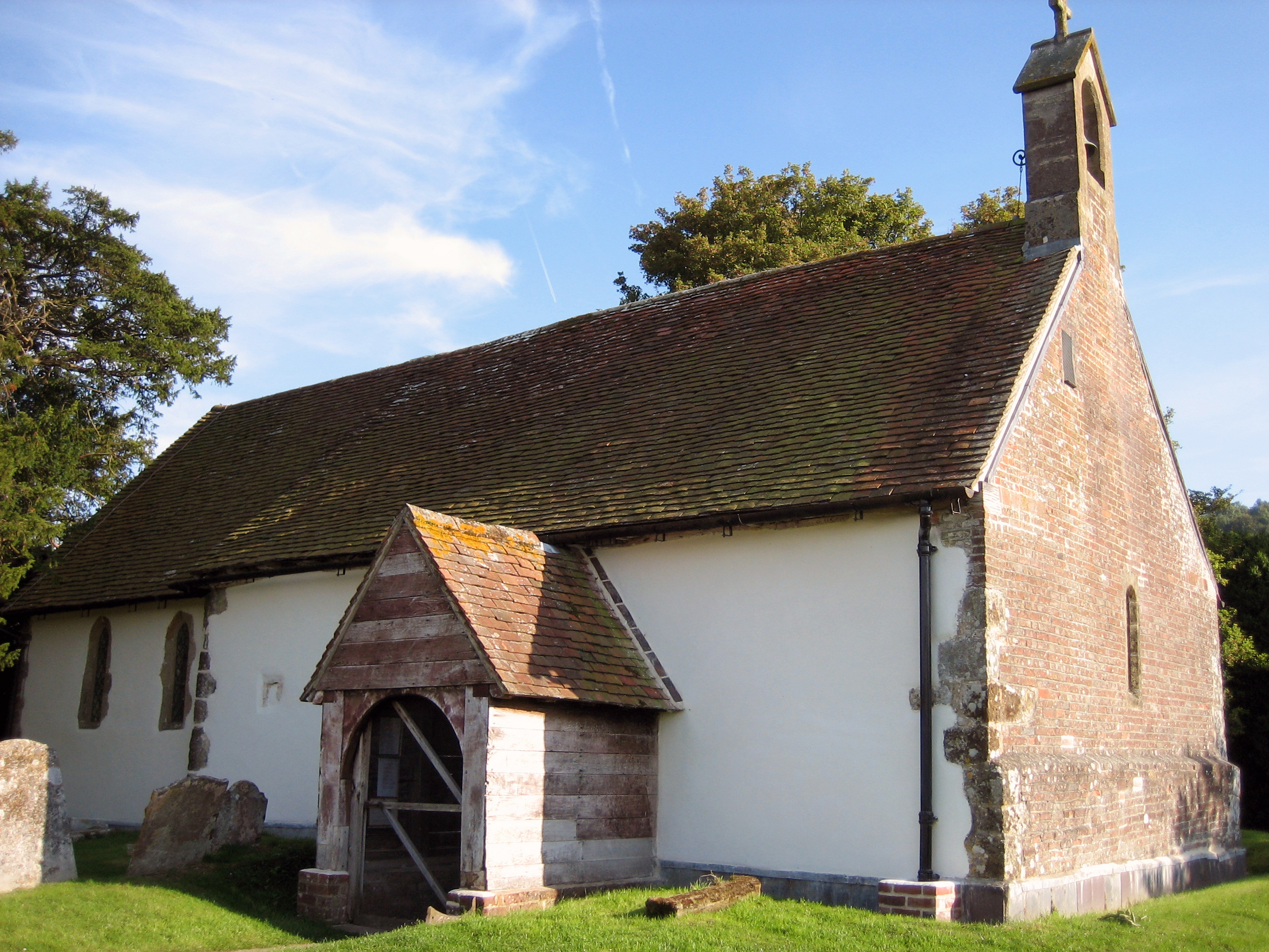
Elsted
Elsted is a village, Anglican parish and former civil parish, now in the civil parish of Elsted and Treyford, in the Chichester district of West Sussex...
Elsted and Treyford
Elsted and Treyford is a civil parish in the Chichester district of West Sussex, west of Midhurst. It contains the settlements of Elsted, Elsted Marsh...
Nearby Amenities
Located within 500m of 50.973005,-0.80356057Have you been to Brickyard Copse?
Leave your review of Brickyard Copse below (or comments, questions and feedback).