Ashkirk

Settlement in Roxburghshire

Scotland

Ashkirk

A symbolic gravestone in Ashkirk Parish Churchyard This 18th century stone, which is leaning forwards, displays the classic symbols of mortality with crossed femur bones, a horizontal hourglass and a death’s head skull. A winged soul at the top of the stone is a symbol of immortality representing the human spirit.
A symbolic gravestone in Ashkirk Parish Churchyard Credit: Walter Baxter

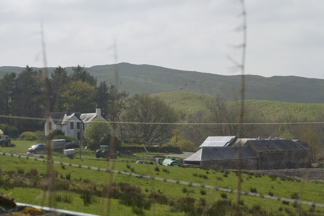
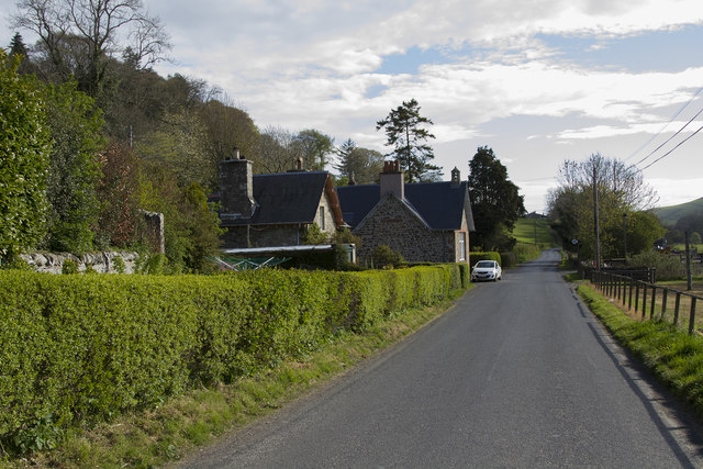
Ashkirk is a small village located in the historic county of Roxburghshire in the Scottish Borders region of Scotland. Situated in the picturesque Ale Water valley, it lies approximately 7 miles southwest of Hawick and 5 miles northeast of Selkirk.

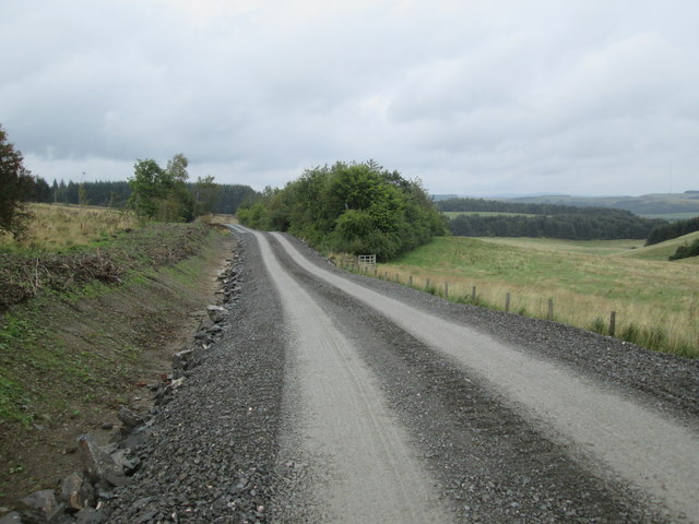
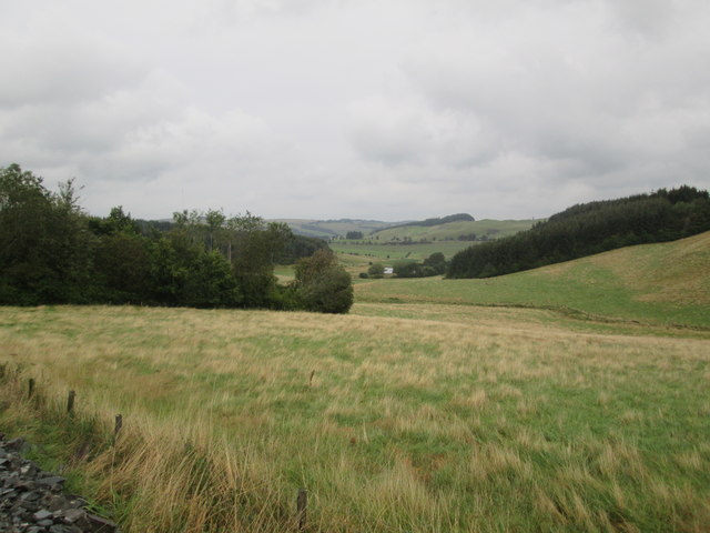
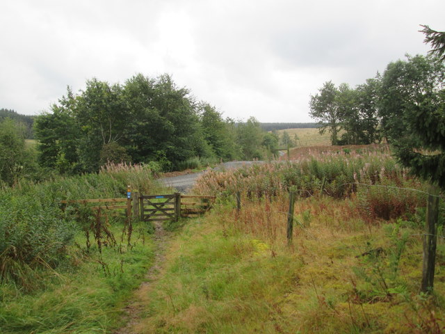
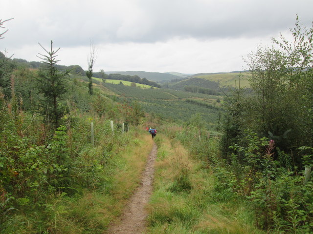
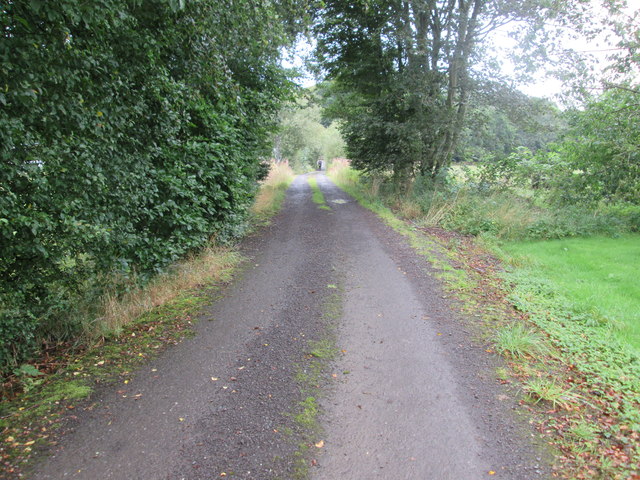
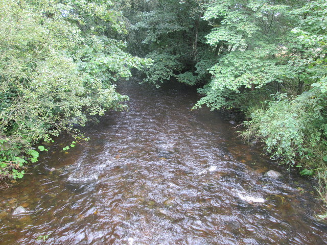
The village is known for its charming rural setting, surrounded by rolling hills and lush green fields. It is a popular destination for outdoor enthusiasts, offering a range of activities such as hiking, cycling, and fishing. The nearby River Ale is renowned for its trout fishing, attracting anglers from across the country.

Ashkirk is home to a tight-knit community, and its village hall serves as a hub for local events and gatherings. The village also has a primary school, providing education for the younger residents.

Historically, Ashkirk has strong ties to the textile industry, which was once a thriving part of the region's economy. Many locals were employed in the local mills that produced wool and tweed fabrics.

In terms of amenities, Ashkirk offers limited services, with a pub, a post office, and a small shop catering to the basic needs of residents and visitors. However, for a wider range of amenities, the nearby towns of Hawick and Selkirk are easily accessible.

Overall, Ashkirk is a tranquil village that offers a peaceful escape from the bustling city life, with its natural beauty and friendly community making it an attractive place to live or visit.

If you have any feedback on the listing, please let us know in the comments section below.
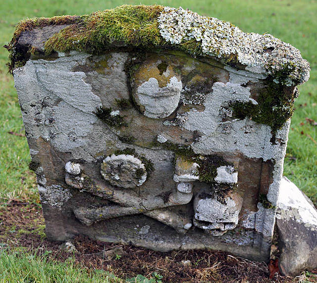
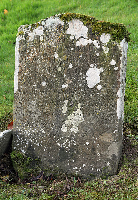
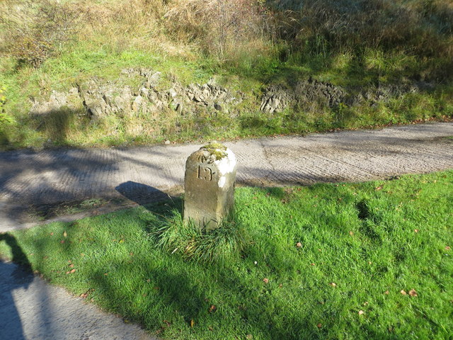
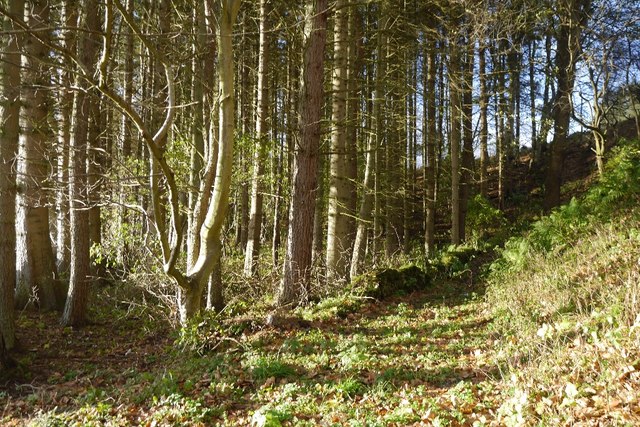
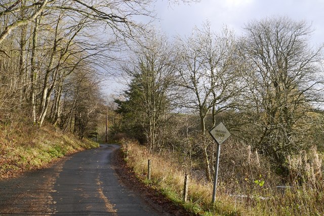
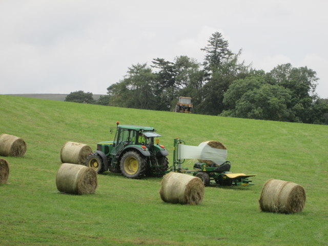
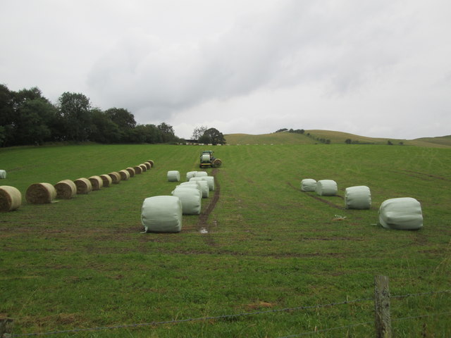
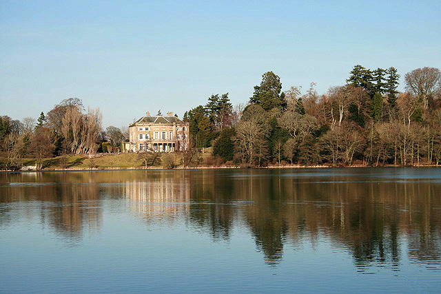
Ashkirk Images

Images are sourced within 2km of 55.488097/-2.8463469 or Grid Reference NT4621. Thanks to Geograph Open Source API. All images are credited.

A symbolic gravestone in Ashkirk Parish Churchyard This 18th century stone, which is leaning forwards, displays the classic symbols of mortality with crossed femur bones, a horizontal hourglass and a death’s head skull. A winged soul at the top of the stone is a symbol of immortality representing the human spirit.
A symbolic gravestone in Ashkirk Parish Churchyard
This 18th century stone, which is leaning forwards, displays the classic symbols of mortality with crossed femur bones, a horizontal hourglass and a death’s head skull. A winged soul at the top of the stone is a symbol of immortality representing the human spirit.
He was only 363 when he died The inscription on this Crawford gravestone in Ashkirk Parish Churchyard is interesting and amusing because the 18th century mason has carved the age of Robert Crawford as 363 when he died. The inscription reads:

HERE LYES
JOHN CRAWFORD
LATE TENNENT IN
DRAYDIAN WHO
DIED MAY 26 1744
AGID 78

Also Robert Crawford Son
late tenant in Branksholme
Town who died Sept 7 1767
Aged 363 years

For a view of the other side of the stone, see <a href="https://www.geograph.org.uk/photo/4739479">NT4622 : A symbolic gravestone in Ashkirk Parish Churchyard</a>.
He was only 363 when he died
The inscription on this Crawford gravestone in Ashkirk Parish Churchyard is interesting and amusing because the 18th century mason has carved the age of Robert Crawford as 363 when he died. The inscription reads: HERE LYES JOHN CRAWFORD LATE TENNENT IN DRAYDIAN WHO DIED MAY 26 1744 AGID 78 Also Robert Crawford Son late tenant in Branksholme Town who died Sept 7 1767 Aged 363 years For a view of the other side of the stone, see NT4622 : A symbolic gravestone in Ashkirk Parish Churchyard.
Ordnance Survey Flush Bracket G4410 This can be found on the wall of the foundations of a demolished farm building at Ashkirktown.
For more detail see : <span class="nowrap"><a title="http://www.bench-marks.org.uk/bm17575" rel="nofollow ugc noopener" href="http://www.bench-marks.org.uk/bm17575">Link</a><img style="margin-left:2px;" alt="External link" title="External link - shift click to open in new window" src="https://s1.geograph.org.uk/img/external.png" width="10" height="10"/></span>
Ordnance Survey Flush Bracket G4410
This can be found on the wall of the foundations of a demolished farm building at Ashkirktown. For more detail see : LinkExternal link
Ordnance Survey Cut Mark with Rivet This can be found in the driveway to Dryden Stables.
For more information see : <span class="nowrap"><a title="http://www.bench-marks.org.uk/bm72387" rel="nofollow ugc noopener" href="http://www.bench-marks.org.uk/bm72387">Link</a><img style="margin-left:2px;" alt="External link" title="External link - shift click to open in new window" src="https://s1.geograph.org.uk/img/external.png" width="10" height="10"/></span>
Ordnance Survey Cut Mark with Rivet
This can be found in the driveway to Dryden Stables. For more information see : LinkExternal link
Milestone Edinburgh 43 miles (re-positioned) This milestone once stood beside the A7 at NT 475 230  but during re-alignment of the road was discarded. The owner of Dryden Stables found it in a ditch and re-positioned it on his driveway. A bit of history preserved.
Milestone Edinburgh 43 miles (re-positioned)
This milestone once stood beside the A7 at NT 475 230 but during re-alignment of the road was discarded. The owner of Dryden Stables found it in a ditch and re-positioned it on his driveway. A bit of history preserved.
Woodland path, Easter Essenside A short stretch of woodland before the hill pasture to the north.
Woodland path, Easter Essenside
A short stretch of woodland before the hill pasture to the north.
Yellow road, Easter Essenside
A farm house and other buildings A quick shot from the car - I had not noticed the wire across the image of the farm buildings.
A farm house and other buildings
A quick shot from the car - I had not noticed the wire across the image of the farm buildings.
The edge of Ashkirk The village of Ashkirk is very spread out but does have a small concentrated group of houses near the junction with the A7. This picture was taken just on the edge of the village close to the Ale Water which is the stream / burn that runs through the village.
The edge of Ashkirk
The village of Ashkirk is very spread out but does have a small concentrated group of houses near the junction with the A7. This picture was taken just on the edge of the village close to the Ale Water which is the stream / burn that runs through the village.
Swans on Synton Loch The whooper swans on the left and mute swans on the right were viewed in early December. For a view of the loch and boathouse, see <a href="https://www.geograph.org.uk/photo/5998403">NT4820 : Synton Loch</a>.
Swans on Synton Loch
The whooper swans on the left and mute swans on the right were viewed in early December. For a view of the loch and boathouse, see NT4820 : Synton Loch.
Newly  resurfaced  forest  road.  Ashkirk  Hill
Newly resurfaced forest road. Ashkirk Hill
Woodland  and  rough  grazing, large  pond  in  the  bottom From B A Way on forestry road
Woodland and rough grazing, large pond in the bottom
From B A Way on forestry road
Gate  onto  forest  road  Ashkirk  Hill  forest
Gate onto forest road Ashkirk Hill forest
Borders Abbeys  Way  through  Salenside  Plantation
Borders Abbeys Way through Salenside Plantation
Access  road  from  Salenside  Shiel It bridges the Ale Water then out onto a minor road
Access road from Salenside Shiel
It bridges the Ale Water then out onto a minor road
The  Ale  Water  toward  Ashkirk
The Ale Water toward Ashkirk
Wrapping  bales  of  hay  in  field  with  tractor A one man operation. From B A Way
Wrapping bales of hay in field with tractor
A one man operation. From B A Way
Wrapping  bales  of  hay  in  field  with  tractor  (2) Picks a second bale up while first is being wrapped, when wrapped dropped off the back and the second bale brought up to start wrapping, a one man operation
Wrapping bales of hay in field with tractor (2)
Picks a second bale up while first is being wrapped, when wrapped dropped off the back and the second bale brought up to start wrapping, a one man operation
Show me another place!

Ashkirk is located at Grid Ref: NT4621 (Lat: 55.488097, Lng: -2.8463469)

Unitary Authority: The Scottish Borders

Police Authority: The Lothians and Scottish Borders

What 3 Words

///violinist.routs.date. Near Selkirk, Scottish Borders

Related Wikis

Nearby Amenities

Located within 500m of 55.488097,-2.8463469
Ashkirk
Place: village
Population: 107
Source: survey
Wikidata: Q4805202
Wikipedia: en:Ashkirk
Lat/Long: 55.4907396/-2.8425395
Halkyn
Place: locality
Lat/Long: 55.4876605/-2.8475428
Power: pole
Lat/Long: 55.4837522/-2.8445604
Power: pole
Lat/Long: 55.4843845/-2.8438899
Power: pole
Lat/Long: 55.4849088/-2.843324
Power: pole
Lat/Long: 55.4858693/-2.8425407
Power: pole
Lat/Long: 55.4866626/-2.8418984
Power: pole
Lat/Long: 55.487004/-2.8409103
Power: pole
Lat/Long: 55.4873647/-2.8398961
Power: pole
Lat/Long: 55.4876868/-2.8389275
Generator Method: photovoltaic
Generator Output Electricity: yes
Generator Source: solar
Generator Type: solar_photovoltaic_panel
Power: generator
Lat/Long: 55.4887188/-2.8454
Generator Method: photovoltaic
Generator Output Electricity: yes
Generator Source: solar
Generator Type: solar_photovoltaic_panel
Power: generator
Lat/Long: 55.4887712/-2.8452739
Generator Method: photovoltaic
Generator Output Electricity: yes
Generator Source: solar
Generator Type: solar_photovoltaic_panel
Power: generator
Lat/Long: 55.4901685/-2.8469248
Generator Method: photovoltaic
Generator Output Electricity: yes
Generator Source: solar
Generator Type: solar_photovoltaic_panel
Power: generator
Lat/Long: 55.4906548/-2.8452417
The Woll
Place: locality
Lat/Long: 55.4895677/-2.8489091
Power: pole
Lat/Long: 55.4872681/-2.8388014
Power: pole
Lat/Long: 55.4882091/-2.8390846
Power: pole
Lat/Long: 55.4891486/-2.8393962
Power: pole
Lat/Long: 55.489932/-2.8396331
Power: pole
Lat/Long: 55.4906031/-2.8400888
Power: pole
Lat/Long: 55.491191/-2.8411291
Power: pole
Lat/Long: 55.4917074/-2.8416312
Power: pole
Lat/Long: 55.4921465/-2.8437839
Power: pole
Lat/Long: 55.4918664/-2.8450302
The data included in this document is from www.openstreetmap.org. The data is made available under ODbL.

Have you been to Ashkirk?

Leave your review of Ashkirk below (or comments, questions and feedback).