Coldwell Plantation

Wood, Forest in Roxburghshire

Scotland

Coldwell Plantation

Borders  Abbeys  Way  in  Ashkirk  Forest
Borders Abbeys Way in Ashkirk Forest Credit: Martin Dawes

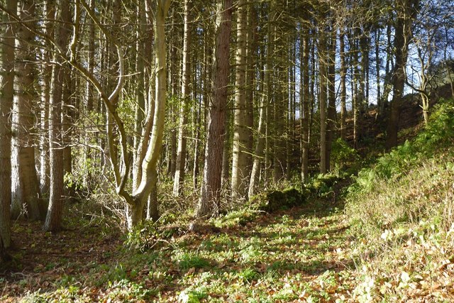
Coldwell Plantation is a picturesque woodland area located in Roxburghshire, a historic county in the Scottish Borders region of Scotland. Covering an expansive area, the plantation is known for its abundant natural beauty and diverse range of flora and fauna.

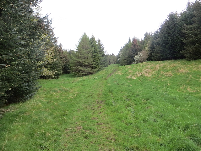
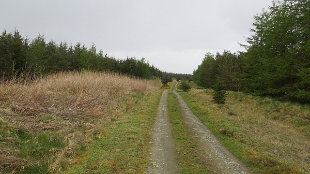
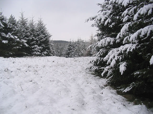
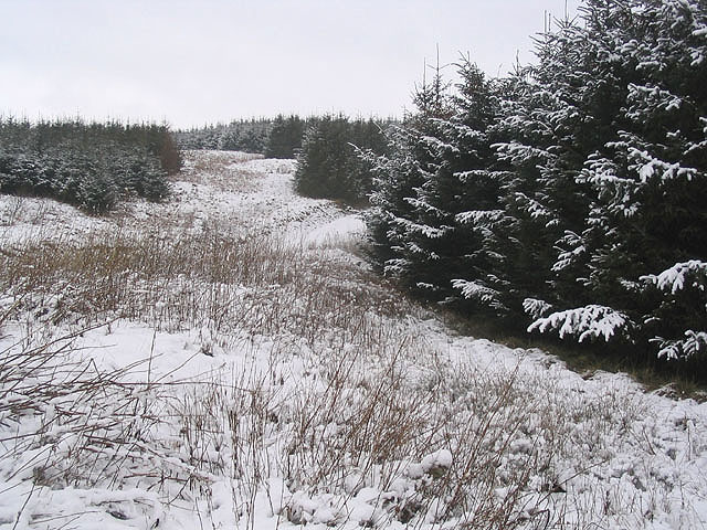
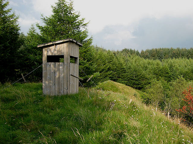
Nestled amidst the rolling hills and valleys of Roxburghshire, Coldwell Plantation is a haven for nature enthusiasts and outdoor enthusiasts alike. The plantation boasts a dense forest composed primarily of native tree species, including oak, beech, birch, and pine. The towering trees create a stunning canopy, filtering sunlight and providing a tranquil atmosphere.

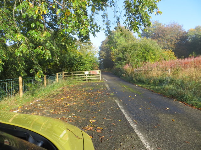
Visitors to Coldwell Plantation can explore its extensive network of walking trails, which wind through the dense woodland and offer breathtaking views of the surrounding countryside. The trails cater to all levels of fitness, with options ranging from gentle strolls to more challenging hikes. Along the way, hikers may encounter a variety of wildlife, such as red squirrels, deer, and various bird species.

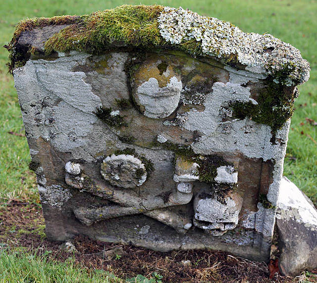
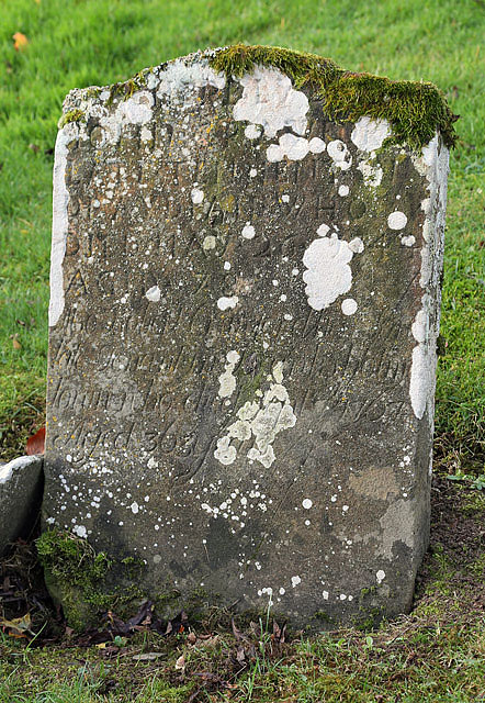
Additionally, Coldwell Plantation is home to several historical features, including the remains of an old stone cottage and a small ruined chapel. These remnants add a touch of intrigue and provide insight into the area's rich past.

Coldwell Plantation is a true gem in Roxburghshire, offering a peaceful retreat for nature lovers and a chance to immerse oneself in the stunning Scottish landscape. Whether one seeks a leisurely walk, an opportunity to observe wildlife, or simply a moment of tranquility, this woodland sanctuary won't disappoint.

If you have any feedback on the listing, please let us know in the comments section below.

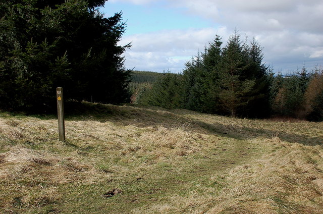
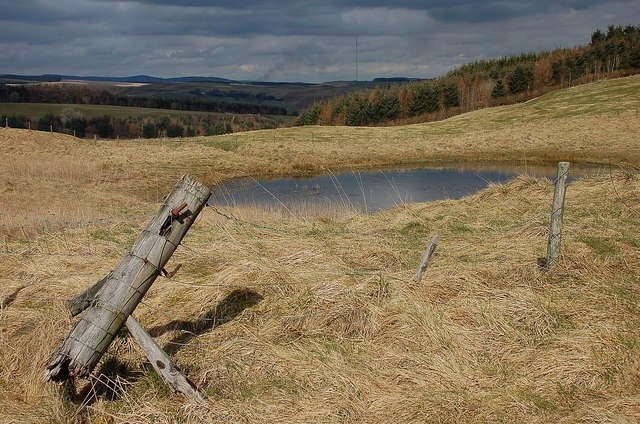
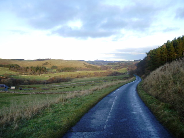
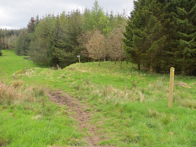
Coldwell Plantation Images

Images are sourced within 2km of 55.481941/-2.842544 or Grid Reference NT4621. Thanks to Geograph Open Source API. All images are credited.

Borders  Abbeys  Way  in  Ashkirk  Forest
Borders Abbeys Way in Ashkirk Forest
Pond  and  newly  resurfaced  forest  track Constant traffic, large stone carrying lorries
Pond and newly resurfaced forest track
Constant traffic, large stone carrying lorries
Borders Abbeys Way, Ashkirk Forest Easy walking through this mature plantation.
Borders Abbeys Way, Ashkirk Forest
Easy walking through this mature plantation.
Pond by the forest track, Ashkirk Hill On the Borders Abbeys Way before the descent to the Ale Water. The TV transmitter mast near the A7 is in view ahead.
Pond by the forest track, Ashkirk Hill
On the Borders Abbeys Way before the descent to the Ale Water. The TV transmitter mast near the A7 is in view ahead.
Road to Ashkirk Passing Shielswood with Eildon Hills in the distance
Road to Ashkirk
Passing Shielswood with Eildon Hills in the distance
A small pond on Ashkirk Hill
Border Abbeys Way on Ashkirk Hill This path forms part of the Border Abbeys Way, a circular long-distance walking route in the Scottish Borders.  A little snow still lingers in shady corners of the plantation.
Border Abbeys Way on Ashkirk Hill
This path forms part of the Border Abbeys Way, a circular long-distance walking route in the Scottish Borders. A little snow still lingers in shady corners of the plantation.
Ride, Ashkirk Hill A well used path which is waymarked as part of the Border Abbeys Way. It is also popular with horse riders and with the common riding season upon us, there was plenty of evidence of recent use.
Ride, Ashkirk Hill
A well used path which is waymarked as part of the Border Abbeys Way. It is also popular with horse riders and with the common riding season upon us, there was plenty of evidence of recent use.
Ride, Ashkirk Hill A well used path which is waymarked as part of the Border Abbeys Way. It is also popular with horse riders and with the common riding season upon us, there was plenty of evidence of recent use.c
Ride, Ashkirk Hill
A well used path which is waymarked as part of the Border Abbeys Way. It is also popular with horse riders and with the common riding season upon us, there was plenty of evidence of recent use.c
Road, Ashkirk Hill Well surfaced road in a young conifer plantation.
Road, Ashkirk Hill
Well surfaced road in a young conifer plantation.
Forest Ride In Cross Plantation south of Roughside Hill.
Forest Ride
In Cross Plantation south of Roughside Hill.
Sitka plantation Break in a forestry plantation west of Ashkirk Loch, taken on an overcast February Day. Most of the square is similar to this.
Sitka plantation
Break in a forestry plantation west of Ashkirk Loch, taken on an overcast February Day. Most of the square is similar to this.
An observation hide overlooking Ashkirk Loch This small wooden hide is at the northwest end of the loch. There was nothing inside apart from an empty bottle of San Benedetto well water that happened to be here when I visited in February 2007. I saw several noisy jays at the woodland edge.
An observation hide overlooking Ashkirk Loch
This small wooden hide is at the northwest end of the loch. There was nothing inside apart from an empty bottle of San Benedetto well water that happened to be here when I visited in February 2007. I saw several noisy jays at the woodland edge.
A symbolic gravestone in Ashkirk Parish Churchyard This 18th century stone, which is leaning forwards, displays the classic symbols of mortality with crossed femur bones, a horizontal hourglass and a death’s head skull. A winged soul at the top of the stone is a symbol of immortality representing the human spirit.
A symbolic gravestone in Ashkirk Parish Churchyard
This 18th century stone, which is leaning forwards, displays the classic symbols of mortality with crossed femur bones, a horizontal hourglass and a death’s head skull. A winged soul at the top of the stone is a symbol of immortality representing the human spirit.
He was only 363 when he died The inscription on this Crawford gravestone in Ashkirk Parish Churchyard is interesting and amusing because the 18th century mason has carved the age of Robert Crawford as 363 when he died. The inscription reads:

HERE LYES
JOHN CRAWFORD
LATE TENNENT IN
DRAYDIAN WHO
DIED MAY 26 1744
AGID 78

Also Robert Crawford Son
late tenant in Branksholme
Town who died Sept 7 1767
Aged 363 years

For a view of the other side of the stone, see <a href="https://www.geograph.org.uk/photo/4739479">NT4622 : A symbolic gravestone in Ashkirk Parish Churchyard</a>.
He was only 363 when he died
The inscription on this Crawford gravestone in Ashkirk Parish Churchyard is interesting and amusing because the 18th century mason has carved the age of Robert Crawford as 363 when he died. The inscription reads: HERE LYES JOHN CRAWFORD LATE TENNENT IN DRAYDIAN WHO DIED MAY 26 1744 AGID 78 Also Robert Crawford Son late tenant in Branksholme Town who died Sept 7 1767 Aged 363 years For a view of the other side of the stone, see NT4622 : A symbolic gravestone in Ashkirk Parish Churchyard.
By-passed section of road (A7) at Synton Mossend Looking north-westward.
By-passed section of road (A7) at Synton Mossend
Looking north-westward.
Ordnance Survey Flush Bracket G4410 This can be found on the wall of the foundations of a demolished farm building at Ashkirktown.
For more detail see : <span class="nowrap"><a title="http://www.bench-marks.org.uk/bm17575" rel="nofollow ugc noopener" href="http://www.bench-marks.org.uk/bm17575">Link</a><img style="margin-left:2px;" alt="External link" title="External link - shift click to open in new window" src="https://s1.geograph.org.uk/img/external.png" width="10" height="10"/></span>
Ordnance Survey Flush Bracket G4410
This can be found on the wall of the foundations of a demolished farm building at Ashkirktown. For more detail see : LinkExternal link
Woodland path, Easter Essenside A short stretch of woodland before the hill pasture to the north.
Woodland path, Easter Essenside
A short stretch of woodland before the hill pasture to the north.
Show me another place!

Coldwell Plantation is located at Grid Ref: NT4621 (Lat: 55.481941, Lng: -2.842544)

Unitary Authority: The Scottish Borders

Police Authority: The Lothians and Scottish Borders

What 3 Words

///flopping.professes.defaults. Near Selkirk, Scottish Borders

Related Wikis

Nearby Amenities

Located within 500m of 55.481941,-2.842544
Noexit: yes
Lat/Long: 55.4849565/-2.8397581
Power: pole
Lat/Long: 55.4797366/-2.8486307
Power: pole
Lat/Long: 55.4799144/-2.8478408
Power: pole
Lat/Long: 55.4818089/-2.8467377
Power: pole
Lat/Long: 55.4810499/-2.8474224
Power: pole
Lat/Long: 55.4824831/-2.8461295
Power: pole
Lat/Long: 55.4832583/-2.8451049
Power: pole
Lat/Long: 55.4837522/-2.8445604
Power: pole
Lat/Long: 55.4843845/-2.8438899
Power: pole
Lat/Long: 55.4849088/-2.843324
Power: pole
Lat/Long: 55.4858693/-2.8425407
Power: pole
Lat/Long: 55.483622/-2.8434234
Power: pole
Lat/Long: 55.4834557/-2.8421308
Power: pole
Lat/Long: 55.4832908/-2.8408974
Power: pole
Lat/Long: 55.4831857/-2.8393756
Power: pole
Lat/Long: 55.4830763/-2.8379259
Power: pole
Lat/Long: 55.48298/-2.8364375
Power: pole
Lat/Long: 55.4826167/-2.8349543
The data included in this document is from www.openstreetmap.org. The data is made available under ODbL.

Have you been to Coldwell Plantation?

Leave your review of Coldwell Plantation below (or comments, questions and feedback).