Round Clump
Wood, Forest in Northamptonshire
England
Round Clump
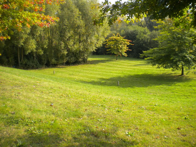
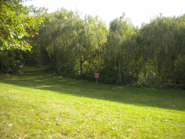
Round Clump is a small woodland located in the county of Northamptonshire, England. Situated near the town of Woodford, this forested area covers approximately 50 acres of land. The woodland is named after a prominent round-shaped hill that stands at the heart of the clump, giving it its distinctive appearance.
The Round Clump is predominantly composed of deciduous trees, such as oak, ash, and beech, which provide a lush and vibrant canopy during the spring and summer months. The forest floor is covered with a diverse range of flora, including bluebells, primroses, and ferns, creating a picturesque and tranquil environment for visitors to enjoy.
The woodland is home to a variety of wildlife species, including deer, foxes, rabbits, and a wide array of bird species. Nature enthusiasts and birdwatchers frequent the area to observe and appreciate the rich biodiversity that Round Clump offers.
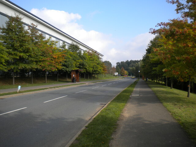
There are several trails and pathways that crisscross through the woodland, providing opportunities for walkers, hikers, and cyclists to explore the area. These paths are well-maintained and offer stunning views of the surrounding countryside. Additionally, there are picnic areas and benches scattered throughout the clump, allowing visitors to relax and soak in the natural beauty of their surroundings.
Round Clump is a popular destination for both locals and tourists seeking a peaceful retreat from the hustle and bustle of modern life. Its serene atmosphere and stunning natural scenery make it an ideal location for outdoor activities, nature walks, and simply enjoying the tranquility of the forest.
If you have any feedback on the listing, please let us know in the comments section below.
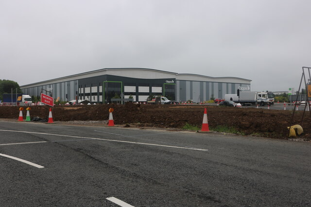
Round Clump Images
Images are sourced within 2km of 52.173519/-0.89008908 or Grid Reference SP7553. Thanks to Geograph Open Source API. All images are credited.


Round Clump is located at Grid Ref: SP7553 (Lat: 52.173519, Lng: -0.89008908)
Unitary Authority: West Northamptonshire
Police Authority: Northamptonshire
What 3 Words
///calm.agenda.visit. Near Roade, Northamptonshire
Nearby Locations
Related Wikis

Courteenhall
Courteenhall is a village 5 miles (8 km) south of the county town of Northampton, in the shire county of Northamptonshire, England, and about 66 miles...

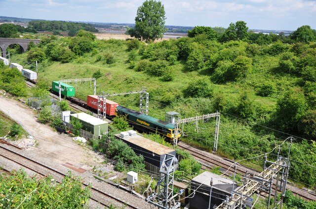
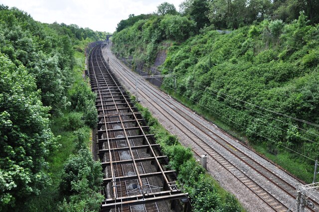
Roade Cutting
Roade Cutting is a 15.2-hectare (38-acre) geological Site of Special Scientific Interest along the West Coast Main Line north from Roade in Northamptonshire...

Quinton, Northamptonshire
Quinton is a village and civil parish in West Northamptonshire, England. It is about 5 miles (8.0 km) south of Northampton town centre along the road from...

Roade railway station
Roade was a railway station serving the Northamptonshire village of the same name on the West Coast Main Line. Roade Station opened in 1838 as the principal...
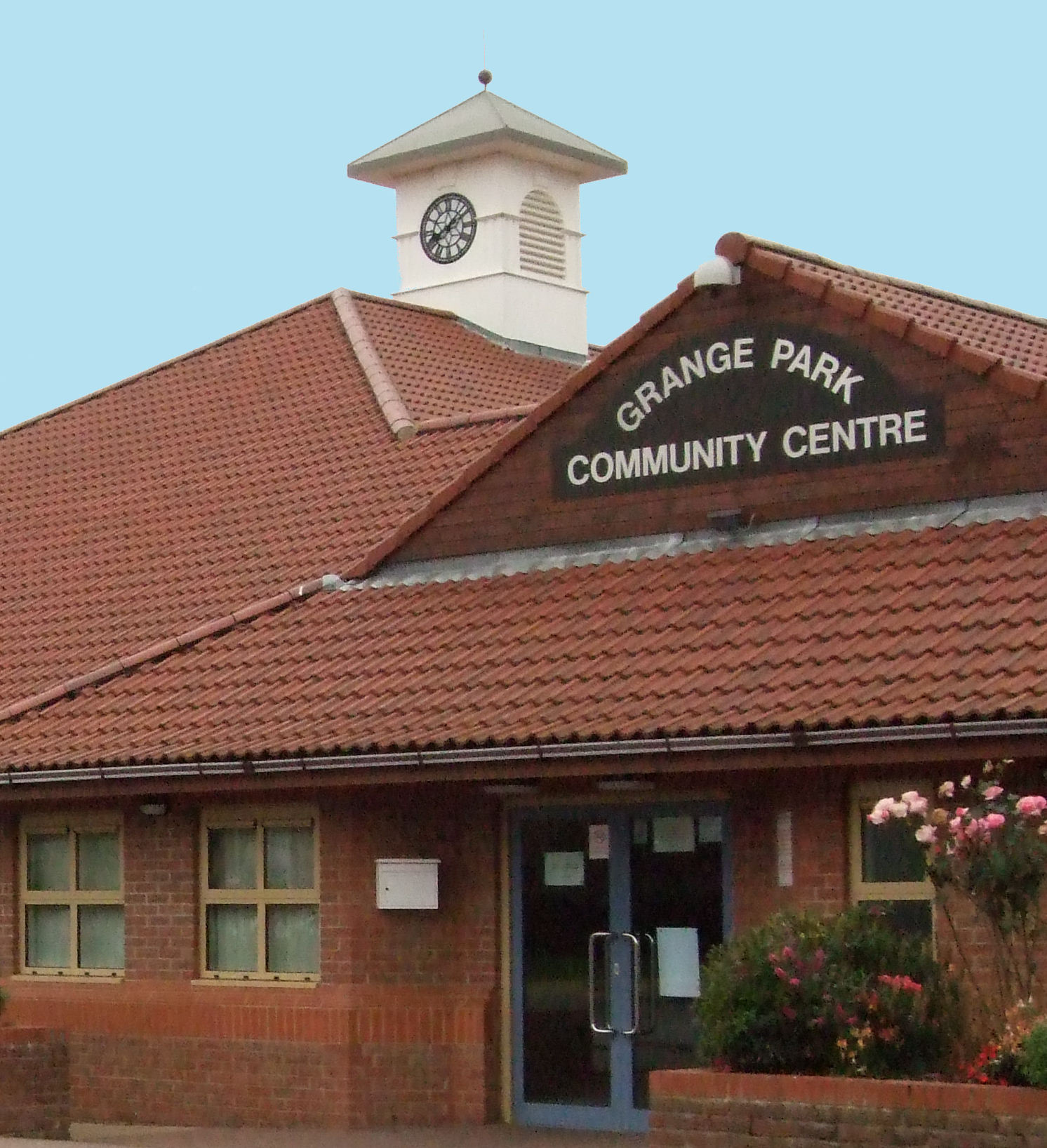
Grange Park, Northamptonshire
Grange Park is an estate on the outskirts of Northampton in West Northamptonshire. == History == The Northampton estate was created from agricultural land...

Roade
Roade is a village in Northamptonshire, England. Currently in West Northamptonshire, before local government changes in 2021 it was represented by South...
Caroline Chisholm School
Caroline Chisholm School is a mixed all-through school with academy status, in Wootton, south Northampton, England. It is named after Caroline Chisholm...
Wootton, Northamptonshire
Wootton is a former village about 3 miles (4.8 km) south of Northampton town centre that is now part of Northampton. Wootton is separated from Hardingstone...
Nearby Amenities
Located within 500m of 52.173519,-0.89008908Have you been to Round Clump?
Leave your review of Round Clump below (or comments, questions and feedback).