Windmill Spinney
Wood, Forest in Northamptonshire
England
Windmill Spinney
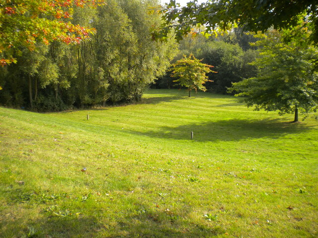
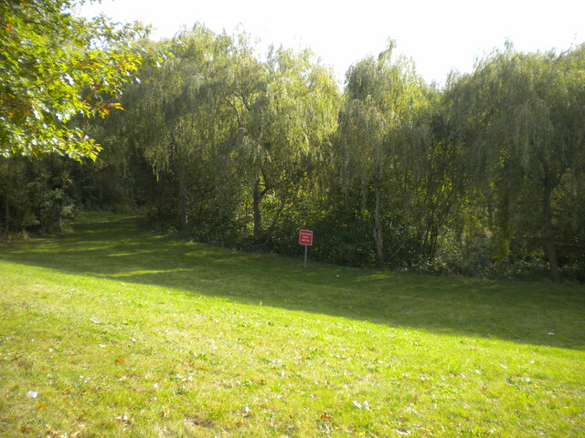
Windmill Spinney is a picturesque woodland located in Northamptonshire, England. Covering an area of approximately 20 acres, it is known for its stunning natural beauty and diverse wildlife. The woodland is home to a variety of tree species, including oak, ash, birch, and beech, creating a rich and vibrant canopy that changes with the seasons.
The woodland is named after a historic windmill that once stood in the area, although only remnants of its foundation can be seen today. Despite this, the name Windmill Spinney has endured and become synonymous with the area.
Walking through Windmill Spinney is a peaceful and tranquil experience. The forest floor is covered in a lush carpet of bluebells in spring, creating a breathtaking scene. The woodland is crisscrossed by a network of well-maintained footpaths, allowing visitors to explore its hidden corners and discover its natural treasures.
Wildlife enthusiasts will be delighted by the variety of animals that call Windmill Spinney their home. The woodland provides a habitat for numerous bird species, including woodpeckers, owls, and warblers. Squirrels can be seen darting amongst the trees, while deer occasionally roam the forest, adding to the sense of enchantment.
Windmill Spinney is a popular destination for nature lovers, hikers, and families seeking a peaceful retreat. With its stunning scenery, diverse wildlife, and well-maintained paths, it offers a perfect escape from the hustle and bustle of everyday life.
If you have any feedback on the listing, please let us know in the comments section below.
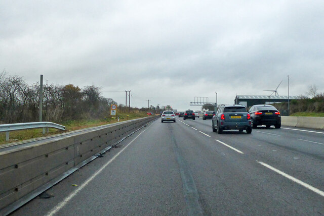
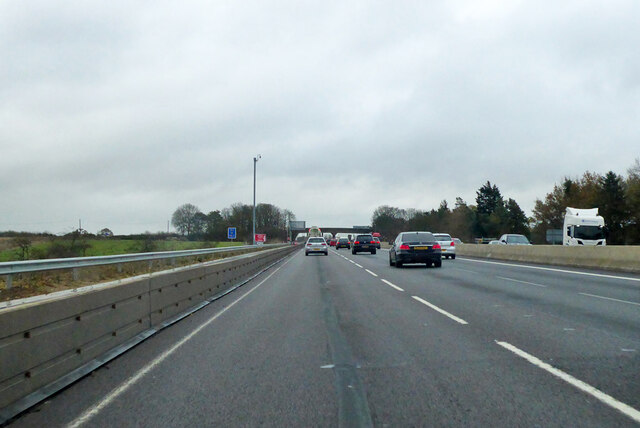
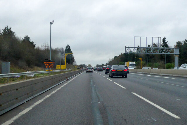
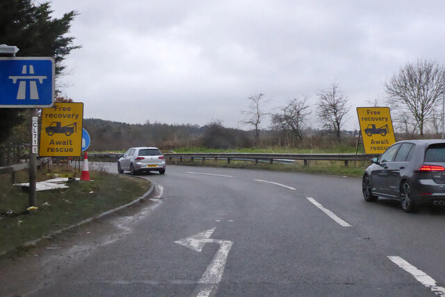
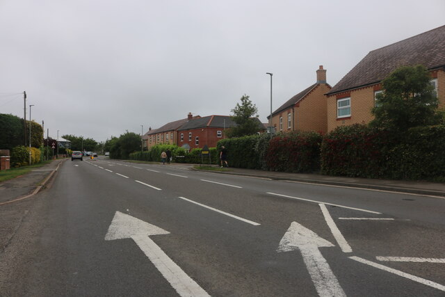
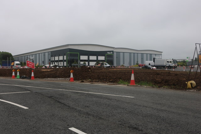
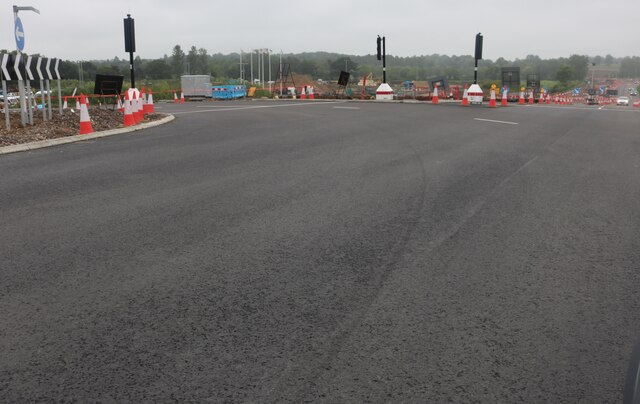
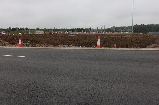
Windmill Spinney Images
Images are sourced within 2km of 52.171673/-0.8946242 or Grid Reference SP7553. Thanks to Geograph Open Source API. All images are credited.


Windmill Spinney is located at Grid Ref: SP7553 (Lat: 52.171673, Lng: -0.8946242)
Unitary Authority: West Northamptonshire
Police Authority: Northamptonshire
What 3 Words
///shout.drift.scrap. Near Roade, Northamptonshire
Nearby Locations
Related Wikis

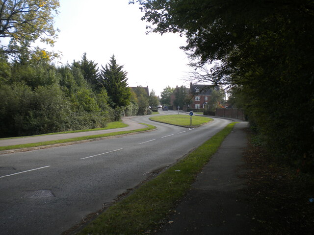
Courteenhall
Courteenhall is a village 5 miles (8 km) south of the county town of Northampton, in the shire county of Northamptonshire, England, and about 66 miles...

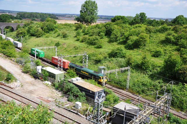
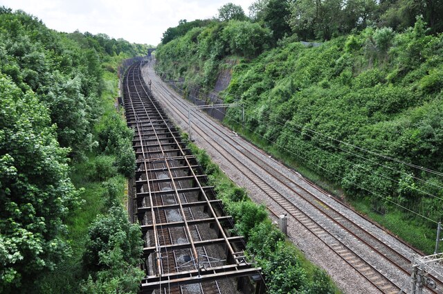
Roade Cutting
Roade Cutting is a 15.2-hectare (38-acre) geological Site of Special Scientific Interest along the West Coast Main Line north from Roade in Northamptonshire...

Roade railway station
Roade was a railway station serving the Northamptonshire village of the same name on the West Coast Main Line. Roade Station opened in 1838 as the principal...

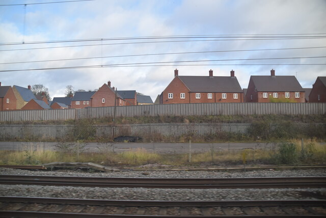
Roade
Roade is a village in Northamptonshire, England. Currently in West Northamptonshire, before local government changes in 2021 it was represented by South...
Grange Park, Northamptonshire
Grange Park is an estate on the outskirts of Northampton in West Northamptonshire. == History == The Northampton estate was created from agricultural land...

Quinton, Northamptonshire
Quinton is a village and civil parish in West Northamptonshire, England. It is about 5 miles (8.0 km) south of Northampton town centre along the road from...

Blisworth Tunnel
Blisworth Tunnel is a canal tunnel on the Grand Union Canal in Northamptonshire, England, between the villages of Stoke Bruerne at the southern end and...

Blisworth
Blisworth is a village and civil parish in the West Northamptonshire, England. The West Coast Main Line, from London Euston to Manchester and Scotland...
Nearby Amenities
Located within 500m of 52.171673,-0.8946242Have you been to Windmill Spinney?
Leave your review of Windmill Spinney below (or comments, questions and feedback).