The Moors

Wood, Forest in Northamptonshire

England

The Moors

Southbound M1 between junctions 15 and 14 A road works 60 limit monitored by average speed cameras.
Southbound M1 between junctions 15 and 14 Credit: Robin Webster

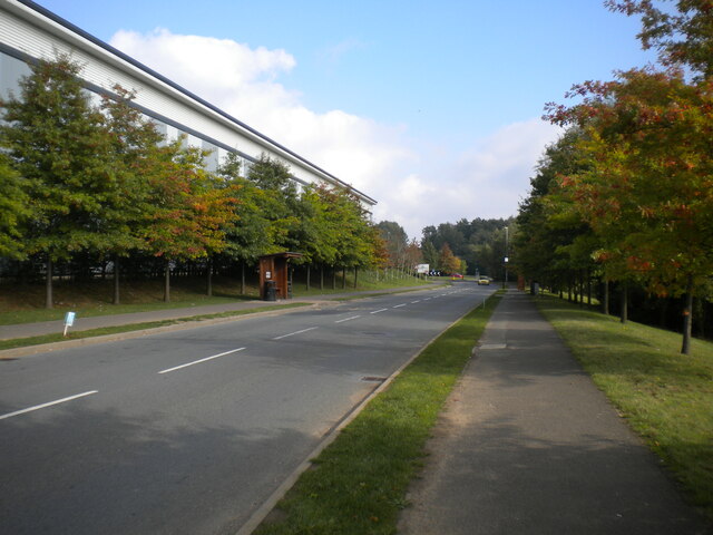
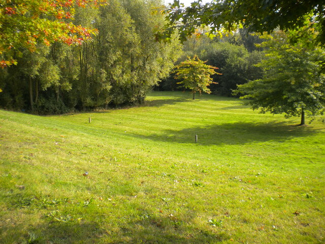
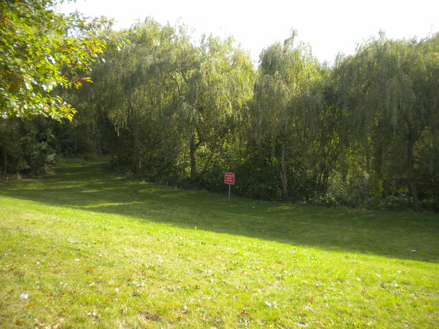
The Moors in Northamptonshire is a picturesque woodland area located in the heart of the county. Spanning over a vast expanse of land, it is known for its natural beauty and serene ambiance. The Moors is characterized by dense forests, making it a haven for nature enthusiasts and wildlife lovers alike.

The woodland is predominantly composed of oak, ash, and birch trees, creating a diverse ecosystem that supports a wide range of flora and fauna. The forest floor is adorned with an array of wildflowers, including bluebells and primroses, which add a vibrant touch to the landscape during the spring months.

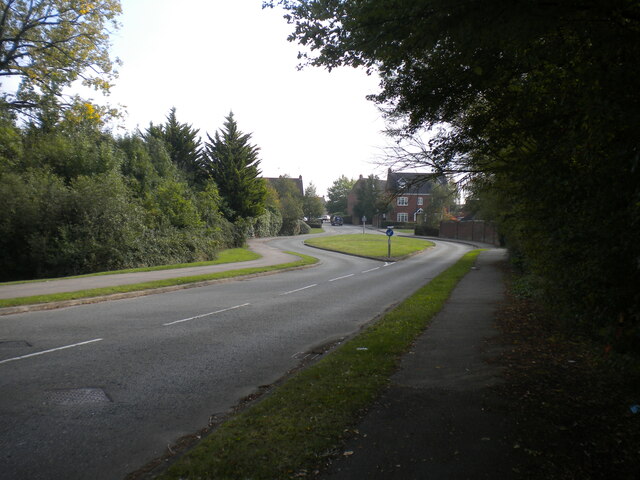
The Moors is home to several walking trails and footpaths, providing visitors with the opportunity to explore the area at their own pace. These well-maintained paths allow for easy access to the heart of the forest, where one can experience the tranquility and serenity that nature has to offer. Additionally, there are designated picnic areas scattered throughout the woodland, making it an ideal spot for family outings and gatherings.

One of the notable features of The Moors is its abundant wildlife. Deer, foxes, and rabbits can often be spotted, adding to the allure of the woodland. Birdwatchers can also enjoy the presence of various species, including woodpeckers, owls, and jays.

Overall, The Moors in Northamptonshire is a captivating destination for nature enthusiasts seeking solace and tranquility. Its lush forests, diverse wildlife, and well-maintained trails make it an ideal location for outdoor activities and exploration.

If you have any feedback on the listing, please let us know in the comments section below.
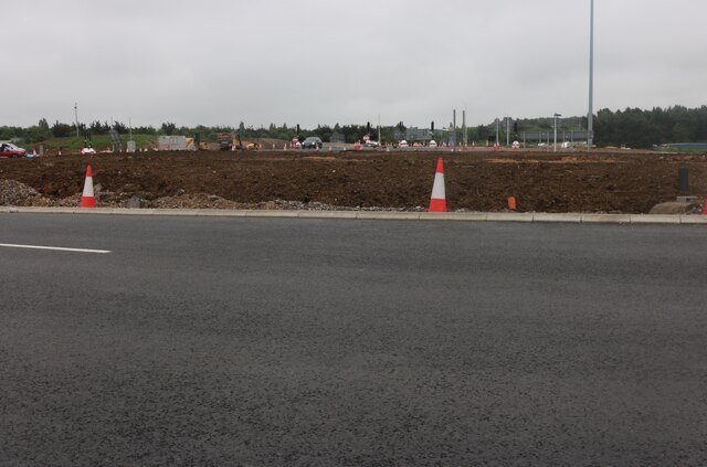
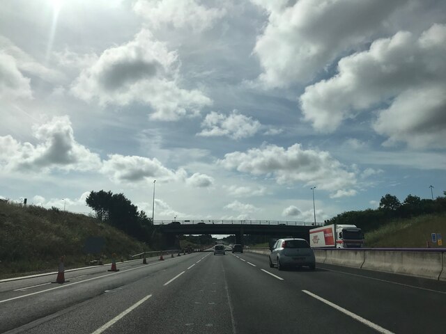
The Moors Images

Images are sourced within 2km of 52.175143/-0.90423384 or Grid Reference SP7553. Thanks to Geograph Open Source API. All images are credited.

Southbound M1 between junctions 15 and 14 A road works 60 limit monitored by average speed cameras.
Southbound M1 between junctions 15 and 14
A road works 60 limit monitored by average speed cameras.
Southbound M1 between junctions 15 and 14 A road works 60 limit monitored by average speed cameras. The sign says 9 miles in 11 minutes, i.e. 59 miles/hour.
Southbound M1 between junctions 15 and 14
A road works 60 limit monitored by average speed cameras. The sign says 9 miles in 11 minutes, i.e. 59 miles/hour.
Slip road to southbound M1 at junction 15 There were nine miles of 60 limit road works ahead.
Slip road to southbound M1 at junction 15
There were nine miles of 60 limit road works ahead.
Finney Drive, Grange Park Off Saxon Avenue.
Finney Drive, Grange Park
Off Saxon Avenue.
Public footpath alongside business park, Grange Park There are two distribution depots on the other side of the fence.
Public footpath alongside business park, Grange Park
There are two distribution depots on the other side of the fence.
Public footpath to Saxon Avenue, Grange Park Winding past some woodland to peter out at the top of a fairly low but steep and rather slippery embankment, requiring a careful descent to avoid careering into the road at the bottom.
Public footpath to Saxon Avenue, Grange Park
Winding past some woodland to peter out at the top of a fairly low but steep and rather slippery embankment, requiring a careful descent to avoid careering into the road at the bottom.
Road into business park, Grange Park Serving the two distribution depots to the north of Saxon Avenue; most of the business park is behind the photographer, off the south east side of Saxon Avenue.
Road into business park, Grange Park
Serving the two distribution depots to the north of Saxon Avenue; most of the business park is behind the photographer, off the south east side of Saxon Avenue.
Saxon Avenue, Grange Park (2) Leading from the business park (one of whose distribution depots can be seen on the left) to the residential part of Grange Park.
Saxon Avenue, Grange Park (2)
Leading from the business park (one of whose distribution depots can be seen on the left) to the residential part of Grange Park.
Open space off Saxon Avenue, Grange Park (1) Apparently to provide drainage so the business park and housing estate are not flooded, but pleasantly verdant nonetheless.
Open space off Saxon Avenue, Grange Park (1)
Apparently to provide drainage so the business park and housing estate are not flooded, but pleasantly verdant nonetheless.
Open space off Saxon Avenue, Grange Park (2) Containing a pond that appears to be part of the drainage of the site on which Grange Park was built: it is hidden by the vegetation in the centre of the picture, hence the "DANGER DEEP WATER" sign.
Open space off Saxon Avenue, Grange Park (2)
Containing a pond that appears to be part of the drainage of the site on which Grange Park was built: it is hidden by the vegetation in the centre of the picture, hence the "DANGER DEEP WATER" sign.
Wake Way, Grange Park Complete with chicanes that are typical of housing developments of this era, making for an uncomfortable bus journey.
Wake Way, Grange Park
Complete with chicanes that are typical of housing developments of this era, making for an uncomfortable bus journey.
Freightliner train in Roade cutting Freightliner Class 66 diesel locomotive No. 66538 brings a container train off the Northampton loop and into Roade cutting alongside the Rugby main line, about to pass under Courteenhall Road bridge.
Freightliner train in Roade cutting
Freightliner Class 66 diesel locomotive No. 66538 brings a container train off the Northampton loop and into Roade cutting alongside the Rugby main line, about to pass under Courteenhall Road bridge.
Roade Cutting Roade cutting, looking south from Courteenhall Road bridge.  The left hand tracks under the supporting girders are the Northampton loop line, while those on the right are the main West Coast line from Rugby.  From here the four tracks run parallel all the way to Euston Station in London.  The supporting girders are necessary to stabilise the Northampton loop tracks which are at a lower level all through the cutting.
Roade Cutting
Roade cutting, looking south from Courteenhall Road bridge. The left hand tracks under the supporting girders are the Northampton loop line, while those on the right are the main West Coast line from Rugby. From here the four tracks run parallel all the way to Euston Station in London. The supporting girders are necessary to stabilise the Northampton loop tracks which are at a lower level all through the cutting.
Clipper warehouses on London Road, Northampton Clipper are a parcel delivery service. <span class="nowrap"><a title="https://www.clippergroup.co.uk/locations/northampton-adc/" rel="nofollow ugc noopener" href="https://www.clippergroup.co.uk/locations/northampton-adc/">Link</a><img style="margin-left:2px;" alt="External link" title="External link - shift click to open in new window" src="https://s1.geograph.org.uk/img/external.png" width="10" height="10"/></span>
Clipper warehouses on London Road, Northampton
Clipper are a parcel delivery service. LinkExternal link
Road works on London Road, Northampton These are pretty comprehensive but the website doesn't explain any details.
Road works on London Road, Northampton
These are pretty comprehensive but the website doesn't explain any details.
Road works on London Road, Northampton The entire complex junction is being made twice as complex.
Road works on London Road, Northampton
The entire complex junction is being made twice as complex.
A45 road bridge
A45 road bridge
Matrix board - M1 southbound
Show me another place!

The Moors is located at Grid Ref: SP7553 (Lat: 52.175143, Lng: -0.90423384)

Unitary Authority: West Northamptonshire

Police Authority: Northamptonshire

What 3 Words

///glitz.angle.youth. Near Roade, Northamptonshire

Related Wikis

Courteenhall

Courteenhall is a village 5 miles (8 km) south of the county town of Northampton, in the shire county of Northamptonshire, England, and about 66 miles...
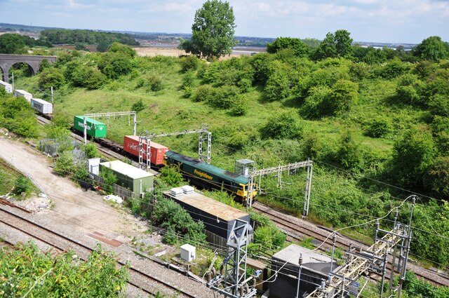
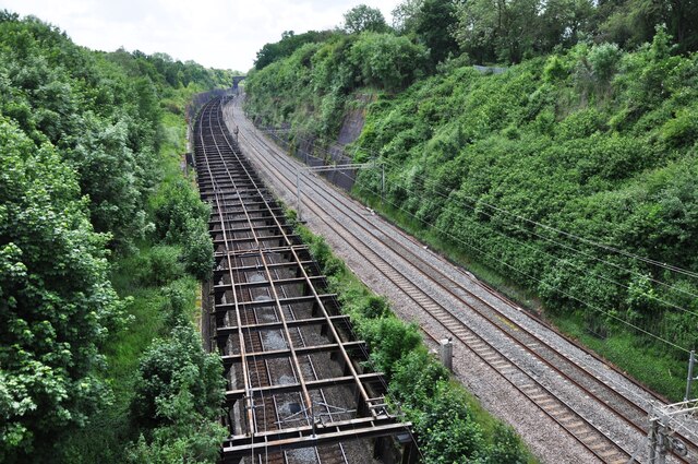
Roade Cutting

Roade Cutting is a 15.2-hectare (38-acre) geological Site of Special Scientific Interest along the West Coast Main Line north from Roade in Northamptonshire...

Roade railway station

Roade was a railway station serving the Northamptonshire village of the same name on the West Coast Main Line. Roade Station opened in 1838 as the principal...

Roade

Roade is a village in Northamptonshire, England. Currently in West Northamptonshire, before local government changes in 2021 it was represented by South...

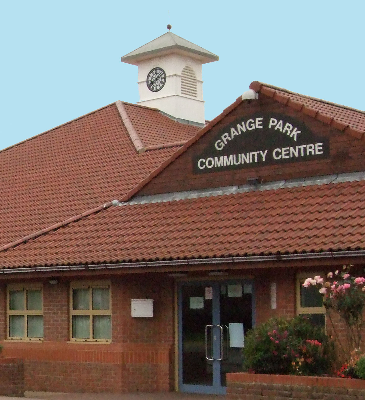
Grange Park, Northamptonshire

Grange Park is an estate on the outskirts of Northampton in West Northamptonshire. == History == The Northampton estate was created from agricultural land...

Blisworth

Blisworth is a village and civil parish in the West Northamptonshire, England. The West Coast Main Line, from London Euston to Manchester and Scotland...

Blisworth Arch

The Blisworth Arch or is a railway bridge in Blisworth, Northamptonshire, in eastern England. It was designed by Robert Stephenson for the London and Birmingham...
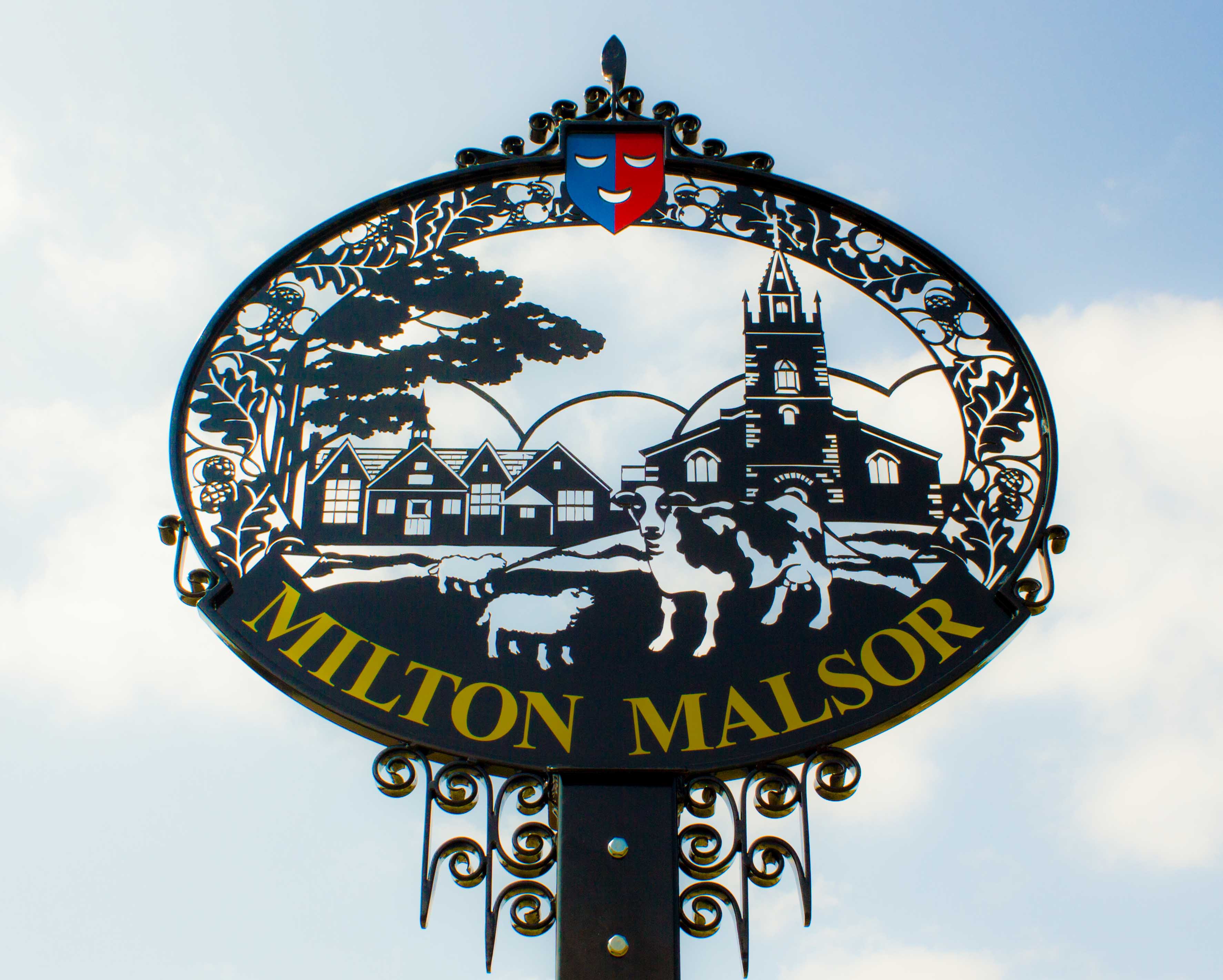
Milton Malsor

Milton Malsor is a village and civil parish in West Northamptonshire, England. The population of the civil parish at the 2011 census was 761. It is 4...

Nearby Amenities

Located within 500m of 52.175143,-0.90423384
Speed Camera
Maxspeed: 50 mph
Lat/Long: 52.1736671/-0.9003781
Barrier: lift_gate
Lat/Long: 52.1711088/-0.9067202
Place: farm
Lat/Long: 52.1726066/-0.9067408
Place: farm
Lat/Long: 52.1712511/-0.9057538
The data included in this document is from www.openstreetmap.org. The data is made available under ODbL.

Have you been to The Moors?

Leave your review of The Moors below (or comments, questions and feedback).