Courteenhall

Settlement in Northamptonshire

England

Courteenhall

Southbound M1 between junctions 15 and 14 A road works 60 limit monitored by average speed cameras.
Southbound M1 between junctions 15 and 14 Credit: Robin Webster

Courteenhall is a small village located in the county of Northamptonshire, England. Situated approximately 7 miles north of the town of Northampton, it is nestled in a picturesque rural setting. The village is known for its historical significance and charming countryside scenery.

One of the prominent landmarks in Courteenhall is the St. Peter and St. Paul Church, which dates back to the 13th century. This medieval church features stunning architectural details, including a beautiful tower and stained glass windows. It serves as a place of worship for the local community and attracts visitors interested in historical and architectural heritage.

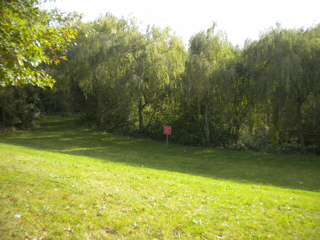
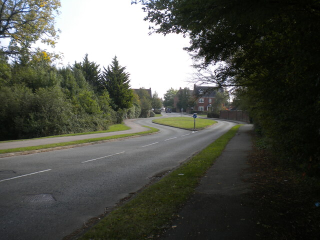
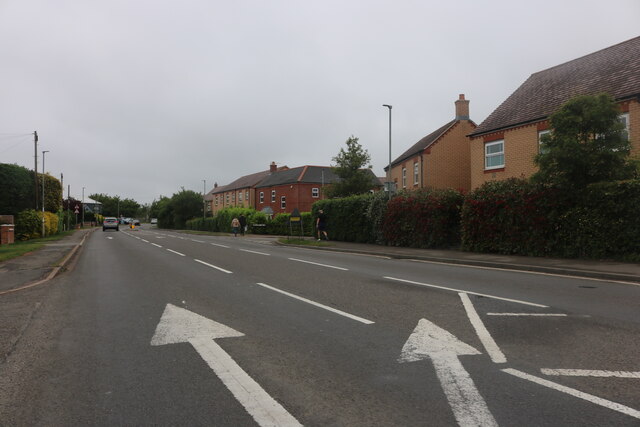
The village itself is characterized by a collection of traditional stone cottages and houses, creating a quintessential English countryside atmosphere. The surrounding landscape consists of rolling hills, green fields, and meandering country lanes, making it an ideal location for peaceful walks and scenic drives.

Courteenhall is also home to Courteenhall Estate, a privately-owned estate spanning over 2,500 acres of land. The estate features a magnificent Grade I listed Georgian mansion, which is occasionally open to the public for special events and guided tours. The well-maintained gardens and parkland offer a tranquil retreat and provide a habitat for various wildlife species.

Although Courteenhall is a small village, it benefits from its proximity to Northampton, where residents can access a range of amenities, including shops, schools, and healthcare facilities. The village itself, however, remains a peaceful and idyllic retreat away from the hustle and bustle of city life.

If you have any feedback on the listing, please let us know in the comments section below.
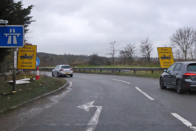
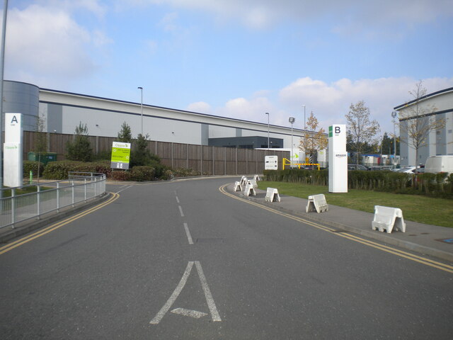
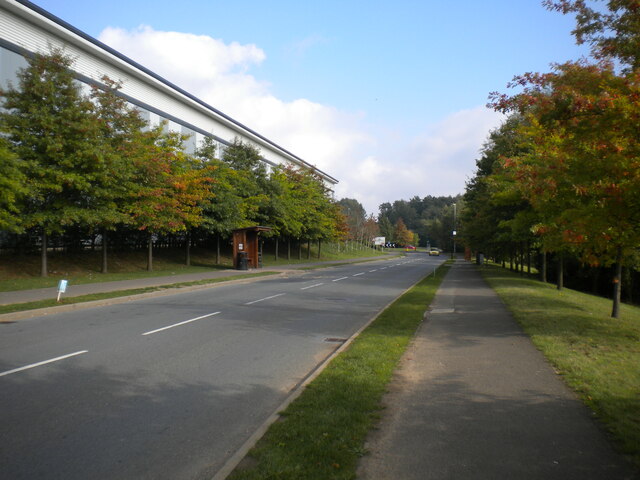
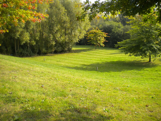
Courteenhall Images

Images are sourced within 2km of 52.170324/-0.890992 or Grid Reference SP7553. Thanks to Geograph Open Source API. All images are credited.

Southbound M1 between junctions 15 and 14 A road works 60 limit monitored by average speed cameras.
Southbound M1 between junctions 15 and 14
A road works 60 limit monitored by average speed cameras.
Southbound M1 between junctions 15 and 14 A road works 60 limit monitored by average speed cameras.
Southbound M1 between junctions 15 and 14
A road works 60 limit monitored by average speed cameras.
Southbound M1 between junctions 15 and 14 A road works 60 limit monitored by average speed cameras.
Southbound M1 between junctions 15 and 14
A road works 60 limit monitored by average speed cameras.
Southbound M1 between junctions 15 and 14 A road works 60 limit monitored by average speed cameras. The sign says 9 miles in 11 minutes, i.e. 59 miles/hour.
Southbound M1 between junctions 15 and 14
A road works 60 limit monitored by average speed cameras. The sign says 9 miles in 11 minutes, i.e. 59 miles/hour.
Slip road to southbound M1 at junction 15 There were nine miles of 60 limit road works ahead.
Slip road to southbound M1 at junction 15
There were nine miles of 60 limit road works ahead.
Road into business park, Grange Park Serving the two distribution depots to the north of Saxon Avenue; most of the business park is behind the photographer, off the south east side of Saxon Avenue.
Road into business park, Grange Park
Serving the two distribution depots to the north of Saxon Avenue; most of the business park is behind the photographer, off the south east side of Saxon Avenue.
Saxon Avenue, Grange Park (2) Leading from the business park (one of whose distribution depots can be seen on the left) to the residential part of Grange Park.
Saxon Avenue, Grange Park (2)
Leading from the business park (one of whose distribution depots can be seen on the left) to the residential part of Grange Park.
Open space off Saxon Avenue, Grange Park (1) Apparently to provide drainage so the business park and housing estate are not flooded, but pleasantly verdant nonetheless.
Open space off Saxon Avenue, Grange Park (1)
Apparently to provide drainage so the business park and housing estate are not flooded, but pleasantly verdant nonetheless.
Open space off Saxon Avenue, Grange Park (2) Containing a pond that appears to be part of the drainage of the site on which Grange Park was built: it is hidden by the vegetation in the centre of the picture, hence the "DANGER DEEP WATER" sign.
Open space off Saxon Avenue, Grange Park (2)
Containing a pond that appears to be part of the drainage of the site on which Grange Park was built: it is hidden by the vegetation in the centre of the picture, hence the "DANGER DEEP WATER" sign.
Wake Way, Grange Park Complete with chicanes that are typical of housing developments of this era, making for an uncomfortable bus journey.
Wake Way, Grange Park
Complete with chicanes that are typical of housing developments of this era, making for an uncomfortable bus journey.
Freightliner train in Roade cutting Freightliner Class 66 diesel locomotive No. 66538 brings a container train off the Northampton loop and into Roade cutting alongside the Rugby main line, about to pass under Courteenhall Road bridge.
Freightliner train in Roade cutting
Freightliner Class 66 diesel locomotive No. 66538 brings a container train off the Northampton loop and into Roade cutting alongside the Rugby main line, about to pass under Courteenhall Road bridge.
Roade Cutting Roade cutting, looking south from Courteenhall Road bridge.  The left hand tracks under the supporting girders are the Northampton loop line, while those on the right are the main West Coast line from Rugby.  From here the four tracks run parallel all the way to Euston Station in London.  The supporting girders are necessary to stabilise the Northampton loop tracks which are at a lower level all through the cutting.
Roade Cutting
Roade cutting, looking south from Courteenhall Road bridge. The left hand tracks under the supporting girders are the Northampton loop line, while those on the right are the main West Coast line from Rugby. From here the four tracks run parallel all the way to Euston Station in London. The supporting girders are necessary to stabilise the Northampton loop tracks which are at a lower level all through the cutting.
Stratford Road, Roade
Clipper warehouses on London Road, Northampton Clipper are a parcel delivery service. <span class="nowrap"><a title="https://www.clippergroup.co.uk/locations/northampton-adc/" rel="nofollow ugc noopener" href="https://www.clippergroup.co.uk/locations/northampton-adc/">Link</a><img style="margin-left:2px;" alt="External link" title="External link - shift click to open in new window" src="https://s1.geograph.org.uk/img/external.png" width="10" height="10"/></span>
Clipper warehouses on London Road, Northampton
Clipper are a parcel delivery service. LinkExternal link
Road works on London Road, Northampton These are pretty comprehensive but the website doesn't explain any details.
Road works on London Road, Northampton
These are pretty comprehensive but the website doesn't explain any details.
Road works on London Road, Northampton The entire complex junction is being made twice as complex.
Road works on London Road, Northampton
The entire complex junction is being made twice as complex.
A45 road bridge
A45 road bridge
Show me another place!

Courteenhall is located at Grid Ref: SP7553 (Lat: 52.170324, Lng: -0.890992)

Unitary Authority: West Northamptonshire

Police Authority: Northamptonshire

What 3 Words

///valid.cups.richer. Near Roade, Northamptonshire

Related Wikis

Courteenhall

Courteenhall is a village 5 miles (8 km) south of the county town of Northampton, in the shire county of Northamptonshire, England, and about 66 miles...
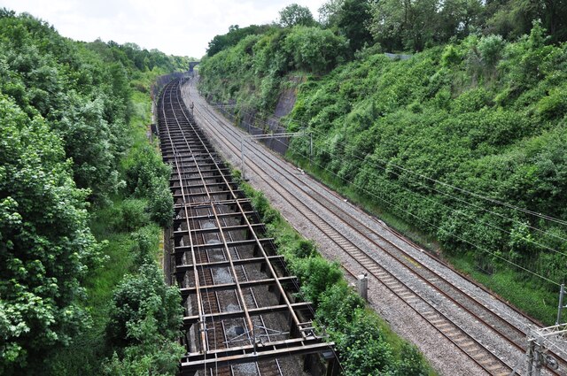
Roade Cutting

Roade Cutting is a 15.2-hectare (38-acre) geological Site of Special Scientific Interest along the West Coast Main Line north from Roade in Northamptonshire...

Roade railway station

Roade was a railway station serving the Northamptonshire village of the same name on the West Coast Main Line. Roade Station opened in 1838 as the principal...

Roade

Roade is a village in Northamptonshire, England. Currently in West Northamptonshire, before local government changes in 2021 it was represented by South...

Quinton, Northamptonshire

Quinton is a village and civil parish in West Northamptonshire, England. It is about 5 miles (8.0 km) south of Northampton town centre along the road from...

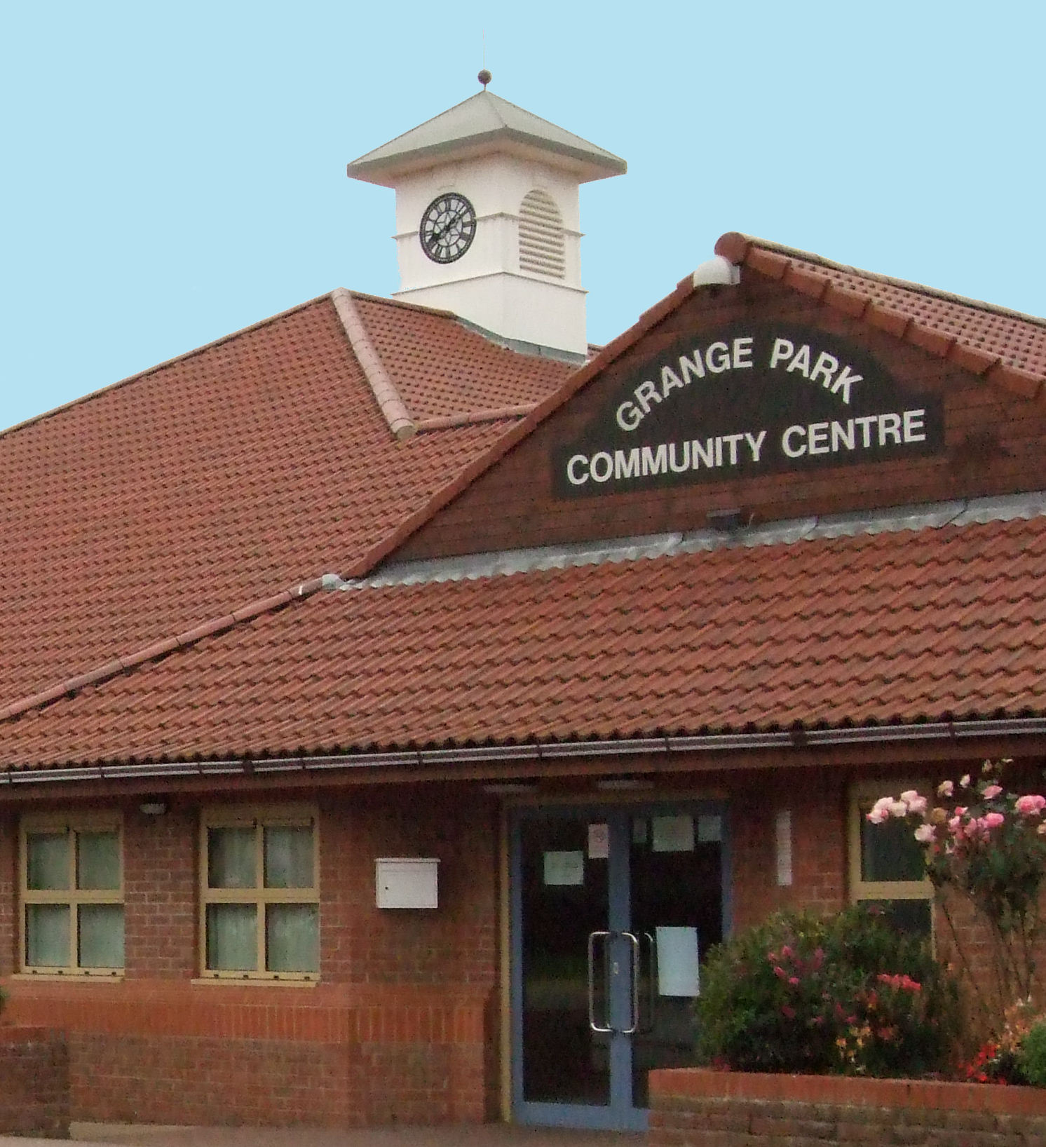
Grange Park, Northamptonshire

Grange Park is an estate on the outskirts of Northampton in West Northamptonshire. == History == The Northampton estate was created from agricultural land...

Blisworth Tunnel

Blisworth Tunnel is a canal tunnel on the Grand Union Canal in Northamptonshire, England, between the villages of Stoke Bruerne at the southern end and...

Blisworth

Blisworth is a village and civil parish in the West Northamptonshire, England. The West Coast Main Line, from London Euston to Manchester and Scotland...

Nearby Amenities

Located within 500m of 52.170324,-0.890992
Building: yes
Lat/Long: 52.1704813/-0.8946816
Building: yes
Lat/Long: 52.169889/-0.8887808
Building: yes
Lat/Long: 52.1708103/-0.8904545
Building: yes
Lat/Long: 52.1711393/-0.8915273
Direction: 185
Generator Method: photovoltaic
Generator Output Electricity: yes
Generator Solar Modules: 21
Generator Source: solar
Generator Type: solar_photovoltaic_panel
Location: roof
Power: generator
Lat/Long: 52.1701289/-0.8890808
The data included in this document is from www.openstreetmap.org. The data is made available under ODbL.

Have you been to Courteenhall?

Leave your review of Courteenhall below (or comments, questions and feedback).