Ash Copse
Wood, Forest in Oxfordshire South Oxfordshire
England
Ash Copse
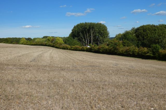
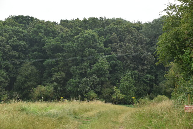
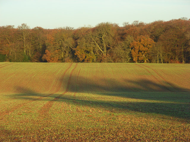
Ash Copse is a picturesque woodland located in Oxfordshire, England. It covers an area of approximately 50 acres, making it an ideal destination for nature enthusiasts and those seeking a peaceful retreat. The copse is primarily composed of ash trees, which lend their name to the woodland.
Ash Copse offers a diverse range of plant and animal life, making it a haven for biodiversity. The woodland floor is carpeted with a variety of wildflowers, including bluebells, wood anemones, and primroses, creating a vibrant and colorful display during the spring months. The trees themselves provide a habitat for numerous bird species, such as woodpeckers, owls, and various songbirds.
Visitors to Ash Copse can enjoy a network of well-maintained trails that wind their way through the woodland, allowing for leisurely walks and exploration. The paths are suitable for all ages and abilities, making it an accessible destination for families. Along the trails, benches and picnic areas are strategically placed, providing opportunities for rest and relaxation amidst the tranquil surroundings.
The copse is managed by local conservation organizations, who work to preserve its natural beauty and protect its unique ecosystem. They conduct regular maintenance, including tree thinning and invasive species removal, to ensure the long-term health and sustainability of Ash Copse.
Overall, Ash Copse offers a serene and enchanting experience for visitors, with its lush vegetation, diverse wildlife, and well-maintained trails. It is a place where one can escape the hustle and bustle of everyday life and immerse themselves in the beauty of nature.
If you have any feedback on the listing, please let us know in the comments section below.
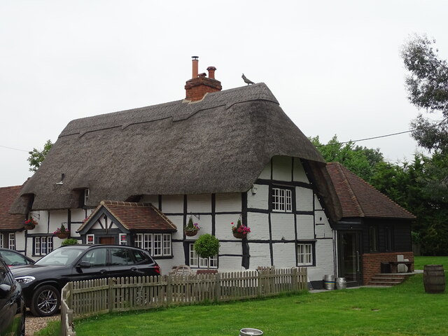
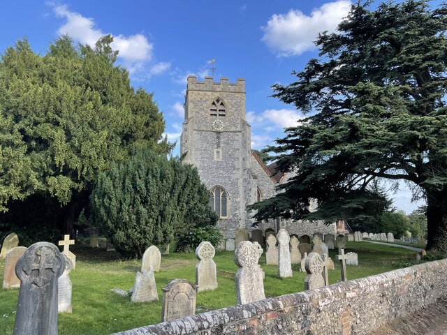
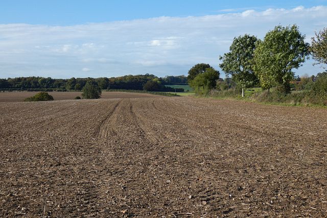
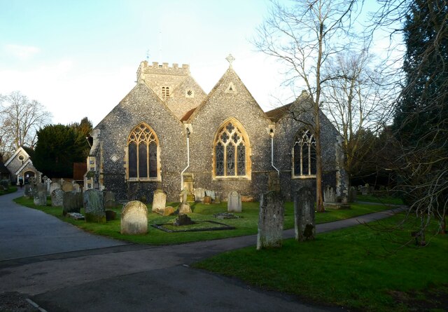
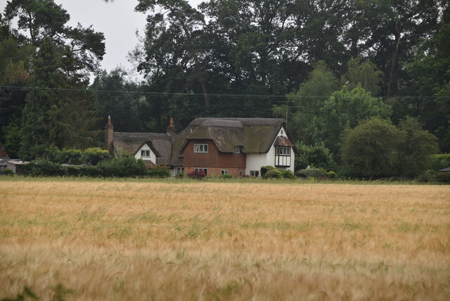
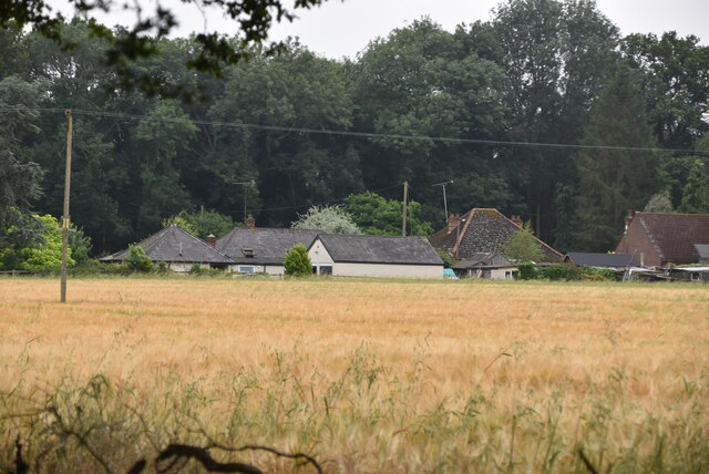
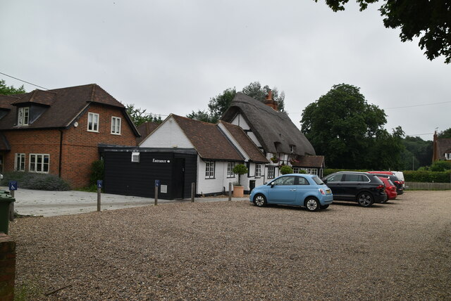
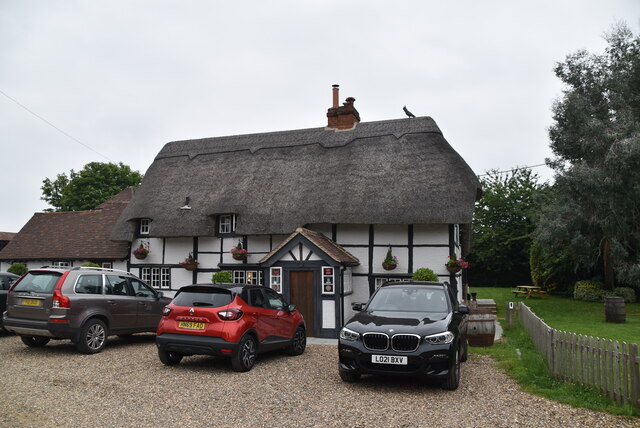
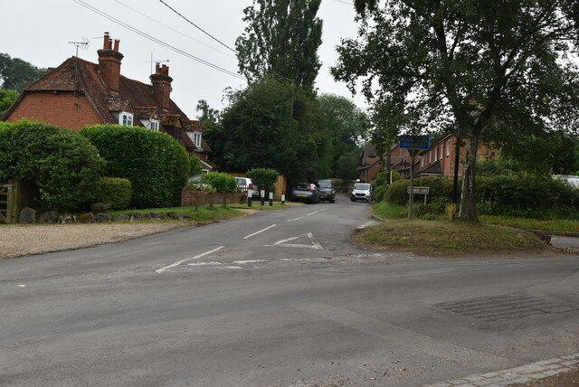
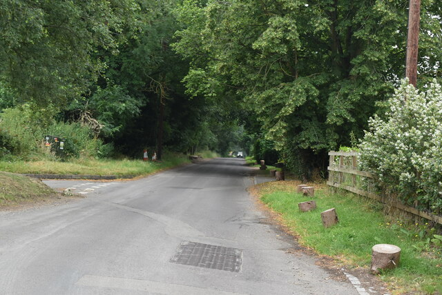
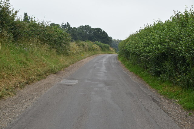
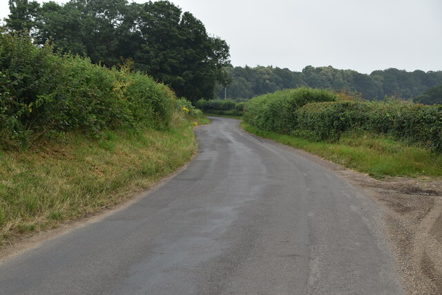
Ash Copse Images
Images are sourced within 2km of 51.491294/-0.92122256 or Grid Reference SU7477. Thanks to Geograph Open Source API. All images are credited.

Ash Copse is located at Grid Ref: SU7477 (Lat: 51.491294, Lng: -0.92122256)
Administrative County: Oxfordshire
District: South Oxfordshire
Police Authority: Thames Valley
What 3 Words
///joke.dent.rescue. Near Sonning, Berkshire
Nearby Locations
Related Wikis

Berry Brook
The Berry Brook is a stream close to Sonning Eye in the flood plain of the River Thames, in southern Oxfordshire, England.The stream flows northeast from...
Eye and Dunsden
Eye and Dunsden is a largely rural civil parish in the most southern part of the English county of Oxfordshire. It includes the villages of Sonning Eye...

Holmwood, Binfield Heath
Holmwood is a country house in the village of Binfield Heath in Oxfordshire, England. It is situated on Shiplake Row in the village of Binfield Heath near...
Dunsden Green
Dunsden Green or Dunsden is a village in the civil parish of Eye & Dunsden in the South Oxfordshire ward of Sonning Common, about 3 miles (5 km) northeast...

Playhatch
Playhatch (or Play Hatch) is a hamlet in the civil parish of Eye & Dunsden in South Oxfordshire, England, about 2 miles (3.2 km) northeast of Reading,...
Sonning Works
The Sonning Works are a gravel works owned by Lafarge, located near Sonning Eye, Oxfordshire, England. == Overview == The gravel works is positioned on...

French Horn, Sonning Eye
The French Horn at Sonning is a hotel and restaurant on the banks of the River Thames next to the Sonning Backwater Bridges, at Sonning Eye, Oxfordshire...

Sonning Backwater Bridges
Sonning Backwater Bridges are the road bridges across the first two of three branches of the Thames at Sonning Eye, Oxfordshire, England. Built in 1986...
Nearby Amenities
Located within 500m of 51.491294,-0.92122256Have you been to Ash Copse?
Leave your review of Ash Copse below (or comments, questions and feedback).