Round Wood
Wood, Forest in Oxfordshire South Oxfordshire
England
Round Wood
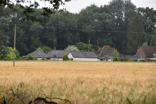
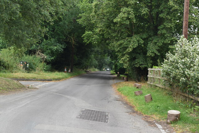
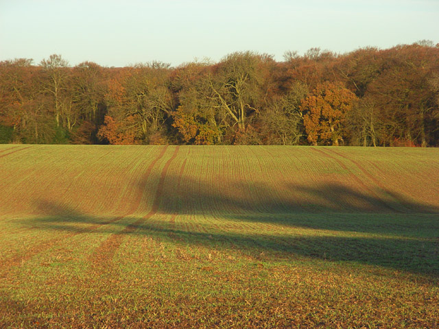
Round Wood is a picturesque woodland area located in Oxfordshire, England. Situated near the village of Wood, it covers an extensive area of lush greenery, providing a serene and tranquil environment for visitors. The wood is part of a larger forest, known for its diverse range of tree species and abundant wildlife.
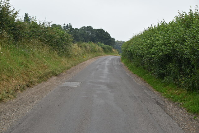
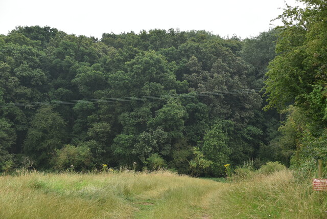
The dense woodland consists primarily of broadleaf trees such as oak, beech, and ash, creating a rich and vibrant ecosystem. The canopy of the trees provides shelter for various species of birds, including woodpeckers and owls, making it a haven for birdwatchers and nature enthusiasts. Additionally, the forest floor is adorned with a carpet of ferns, wildflowers, and mosses, adding to its natural beauty.
Round Wood offers numerous walking trails and paths, allowing visitors to explore its enchanting surroundings. These trails are well-maintained and suitable for all ages and fitness levels. Along the way, visitors may come across babbling brooks, small ponds, and hidden clearings, providing ample opportunities for relaxation and reflection in nature.
The wood is also home to a diverse range of wildlife, including deer, foxes, squirrels, and rabbits. This makes it an ideal location for wildlife spotting and photography. With designated viewing areas and hides, visitors can observe and appreciate the animals in their natural habitat without disturbing them.
Overall, Round Wood in Oxfordshire is a captivating destination for those seeking solace in nature. Its stunning woodland scenery, abundant wildlife, and tranquil atmosphere make it a must-visit location for outdoor enthusiasts and nature lovers alike.
If you have any feedback on the listing, please let us know in the comments section below.
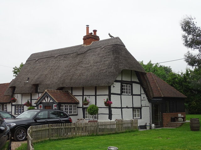
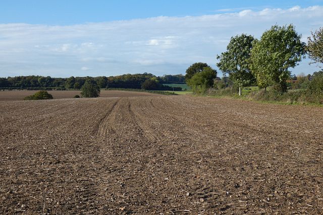
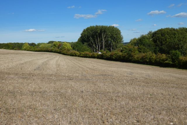
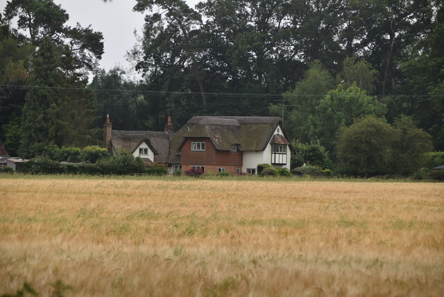
Round Wood Images
Images are sourced within 2km of 51.490384/-0.9308513 or Grid Reference SU7477. Thanks to Geograph Open Source API. All images are credited.


Round Wood is located at Grid Ref: SU7477 (Lat: 51.490384, Lng: -0.9308513)
Administrative County: Oxfordshire
District: South Oxfordshire
Police Authority: Thames Valley
What 3 Words
///voices.snows.trail. Near Sonning, Berkshire
Nearby Locations
Related Wikis
Dunsden Green
Dunsden Green or Dunsden is a village in the civil parish of Eye & Dunsden in the South Oxfordshire ward of Sonning Common, about 3 miles (5 km) northeast...
Eye and Dunsden
Eye and Dunsden is a largely rural civil parish in the most southern part of the English county of Oxfordshire. It includes the villages of Sonning Eye...

Berry Brook
The Berry Brook is a stream close to Sonning Eye in the flood plain of the River Thames, in southern Oxfordshire, England.The stream flows northeast from...

Playhatch
Playhatch (or Play Hatch) is a hamlet in the civil parish of Eye & Dunsden in South Oxfordshire, England, about 2 miles (3.2 km) northeast of Reading,...

Holmwood, Binfield Heath
Holmwood is a country house in the village of Binfield Heath in Oxfordshire, England. It is situated on Shiplake Row in the village of Binfield Heath near...
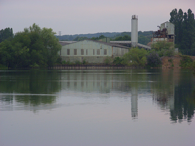
Sonning Works
The Sonning Works are a gravel works owned by Lafarge, located near Sonning Eye, Oxfordshire, England. == Overview == The gravel works is positioned on...
Caversham Park Village
Caversham Park Village is a suburb of Reading, England. It is entirely residential and associated with Emmer Green, which has the closest amenities — much...

French Horn, Sonning Eye
The French Horn at Sonning is a hotel and restaurant on the banks of the River Thames next to the Sonning Backwater Bridges, at Sonning Eye, Oxfordshire...
Nearby Amenities
Located within 500m of 51.490384,-0.9308513Have you been to Round Wood?
Leave your review of Round Wood below (or comments, questions and feedback).