Combe Hanger
Wood, Forest in Hampshire East Hampshire
England
Combe Hanger

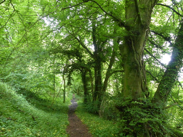
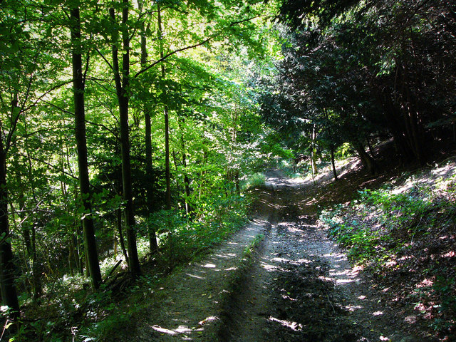
Combe Hanger is a picturesque woodland area located in Hampshire, England. It is situated on the edge of the South Downs National Park, offering visitors a unique and tranquil experience. The hanger is known for its dense foliage, tall trees, and diverse range of plant and animal species.
Covering an area of approximately 200 acres, Combe Hanger is home to a variety of native trees, including beech, oak, and ash. These trees create a dense canopy that provides shade and shelter for a rich undergrowth of ferns, mosses, and wildflowers. The hanger's woodland floor is a haven for wildlife, with numerous species of birds, insects, and small mammals inhabiting the area.
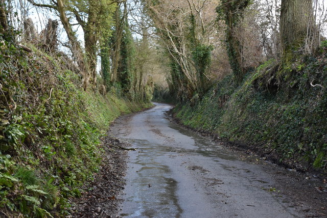
The hanger is crisscrossed by a network of footpaths and trails, making it an ideal destination for nature enthusiasts and hikers. The well-maintained paths offer visitors the opportunity to explore the woodland and admire its natural beauty. As visitors wander through the hanger, they may encounter babbling brooks, hidden ponds, and breathtaking viewpoints that overlook the surrounding countryside.
Combe Hanger has a rich history, with evidence of human habitation dating back centuries. Archaeological finds suggest that the area was once inhabited by ancient civilizations, and remnants of old settlements and boundary markers can still be found within the woodland.
Overall, Combe Hanger is a hidden gem in Hampshire, offering a peaceful escape from the hustle and bustle of daily life. Its lush vegetation, diverse wildlife, and scenic views make it a must-visit destination for nature lovers and those seeking a connection with the natural world.
If you have any feedback on the listing, please let us know in the comments section below.
Combe Hanger Images
Images are sourced within 2km of 51.052264/-0.93142423 or Grid Reference SU7428. Thanks to Geograph Open Source API. All images are credited.


Combe Hanger is located at Grid Ref: SU7428 (Lat: 51.052264, Lng: -0.93142423)
Administrative County: Hampshire
District: East Hampshire
Police Authority: Hampshire
What 3 Words
///dearest.pothole.speeded. Near Liss, Hampshire
Nearby Locations
Related Wikis

Hawkley
Hawkley is a village, ecclesiastical parish and civil parish in the East Hampshire district of Hampshire, England. It is 3.5 miles (5.7 km) north of Petersfield...
Oakshott
Oakshott is a hamlet in the East Hampshire district of Hampshire, England. It lies one mile (1. 6 km) south of the village of Hawkley and 2.5 miles (4...
Wealden Edge Hangers
Wealden Edge Hangers is a 222.4-hectare (550-acre) biological Site of Special Scientific Interest north of Petersfield in Hampshire. An area of 48 hectares...

Upper Greensand Hangers: Empshott to Hawkley
Upper Greensand Hangers: Empshott to Hawkley is a 37.7-hectare (93-acre) biological Site of Special Scientific Interest north of Petersfield in Hampshire...
Hawkley Warren
Hawkley Warren (grid reference SU730284) is a woodland on the northeast-facing Wealden Edge, near the village of Hawkley, three miles north of Petersfield...
Plestor House, Liss
Plestor House is a Grade II listed building in the village of Liss, Hampshire, only a few miles from Selborne. The house has served a variety of purposes...
Flexcombe
Flexcombe is a two housed place in the civil parish of Liss, in the East Hampshire district of Hampshire, England. The hamlet is situated in the South...

Wheatham Hill
At 249 metres (817 ft), Wheatham Hill is one of the highest hills in the county of Hampshire, England. It is part of the North Hampshire Downs. Much of...
Nearby Amenities
Located within 500m of 51.052264,-0.93142423Have you been to Combe Hanger?
Leave your review of Combe Hanger below (or comments, questions and feedback).