Barnett Copse

Wood, Forest in Hampshire East Hampshire

England

Barnett Copse

Lane towards Compton or South Harting
Lane towards Compton or South Harting Credit: Robin Webster

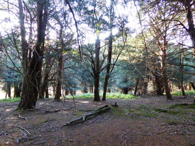
Barnett Copse is a picturesque wood located in Hampshire, England. Situated within the New Forest National Park, it covers an area of approximately 50 hectares and is known for its diverse range of trees and wildlife.

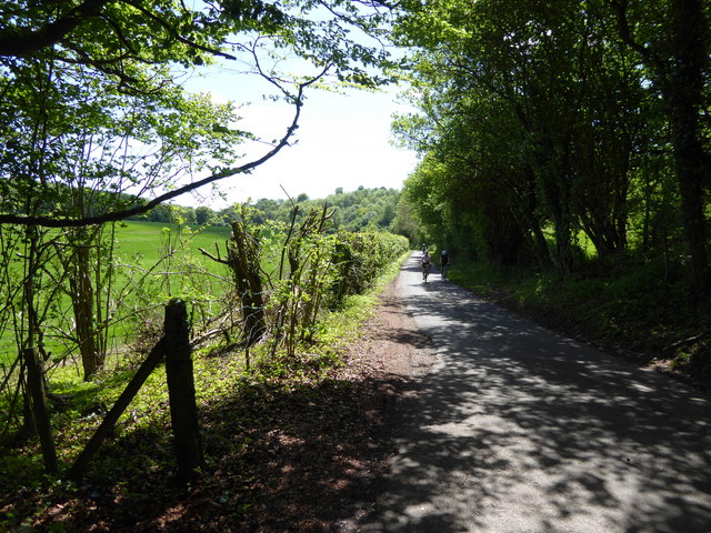
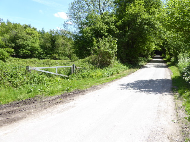
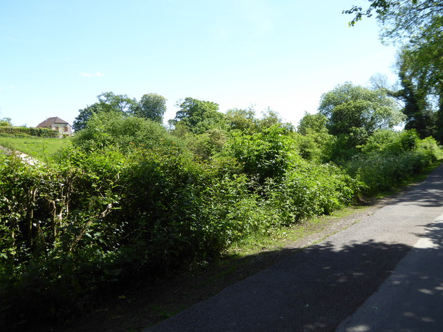
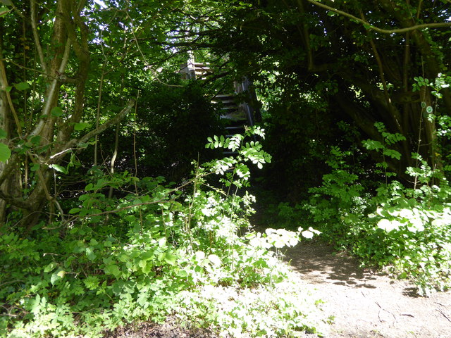
The copse is predominantly composed of deciduous trees, including oak, beech, and birch. These trees create a dense canopy, providing shade and shelter for the many species that call Barnett Copse home. The forest floor is carpeted with a variety of wildflowers and ferns, adding to its natural beauty.

The wood is crisscrossed by a network of walking trails, making it a popular destination for nature enthusiasts and hikers. The trails meander through the copse, offering visitors the opportunity to explore its tranquil surroundings. Along the way, there are several viewpoints that provide breathtaking vistas of the surrounding countryside.

Barnett Copse is also home to a rich variety of wildlife. Deer, foxes, and badgers can often be spotted roaming through the undergrowth, while a plethora of bird species, including woodpeckers, owls, and various songbirds, can be heard chirping and singing from the treetops.

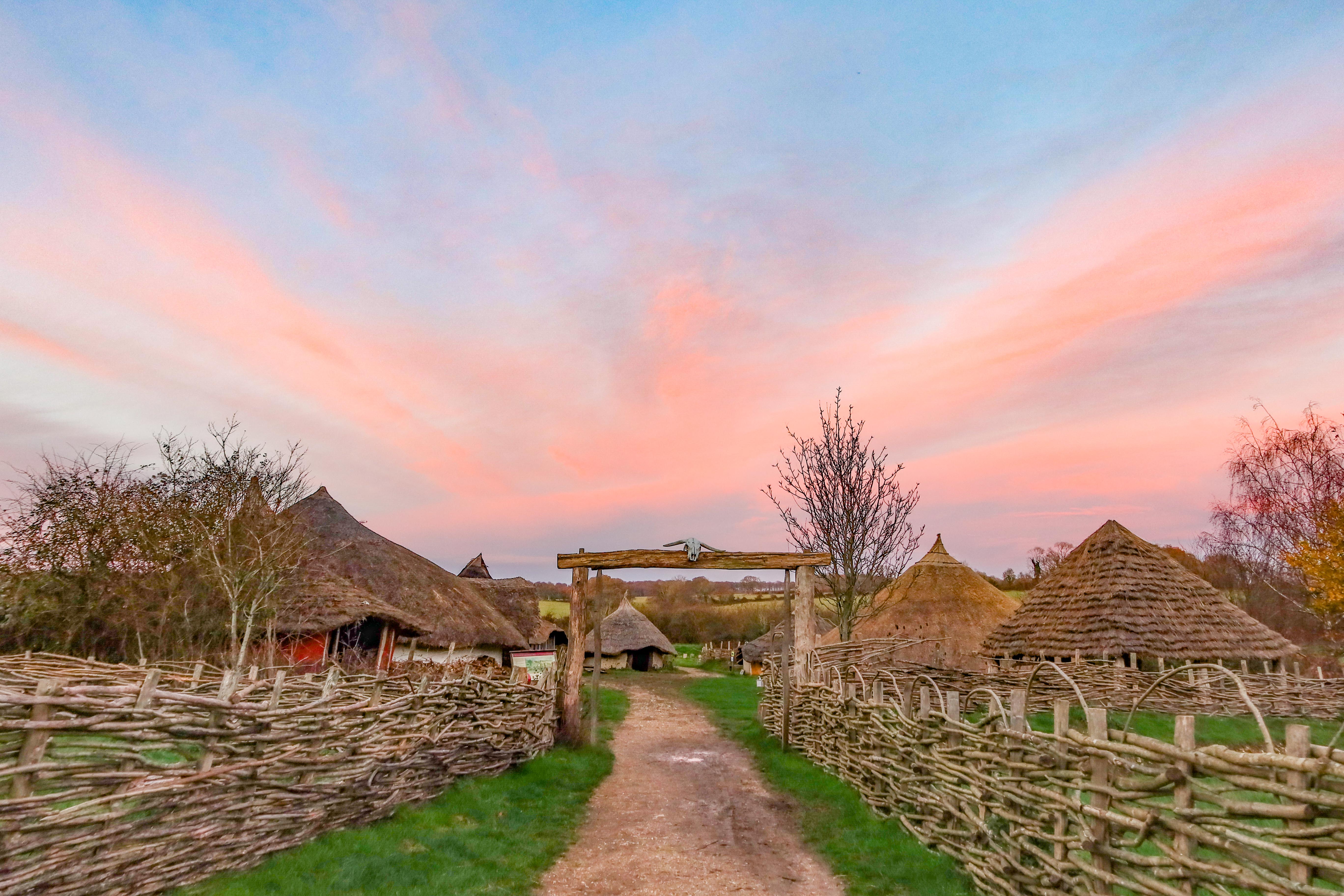
The wood has a long history, with evidence of human habitation dating back thousands of years. Archaeological remains, such as ancient burial mounds and iron age settlements, have been discovered within the copse, adding an additional layer of intrigue to its already captivating allure.

Overall, Barnett Copse is a captivating woodland that offers visitors a chance to immerse themselves in nature and experience the beauty of Hampshire's countryside.

If you have any feedback on the listing, please let us know in the comments section below.

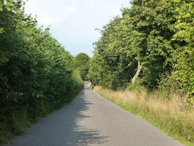
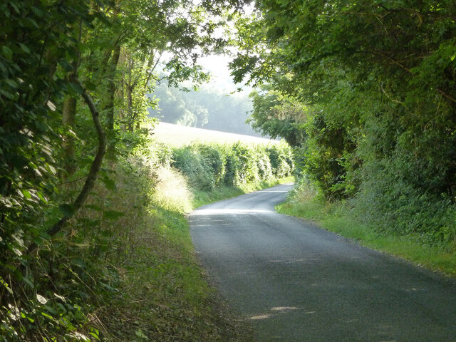
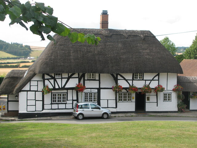
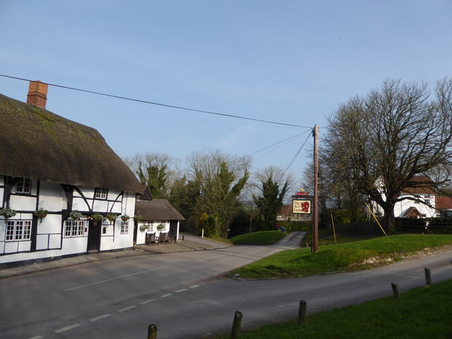
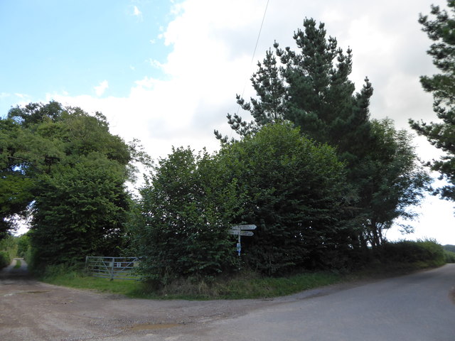
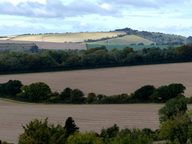
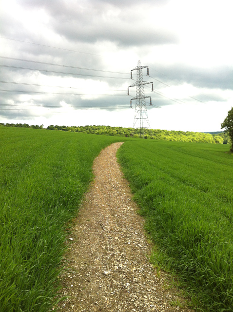
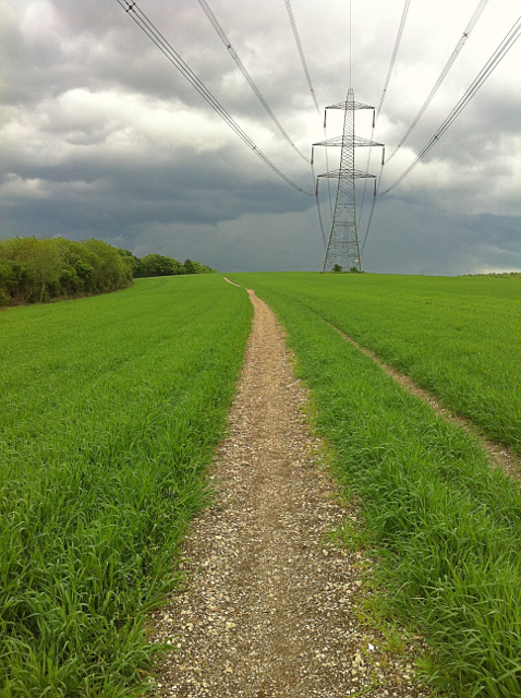
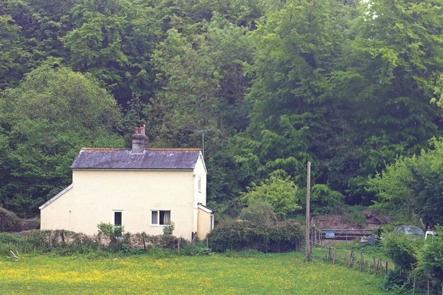
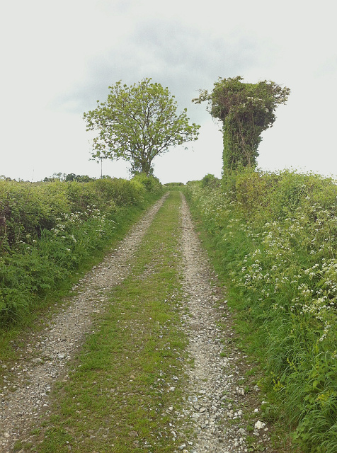
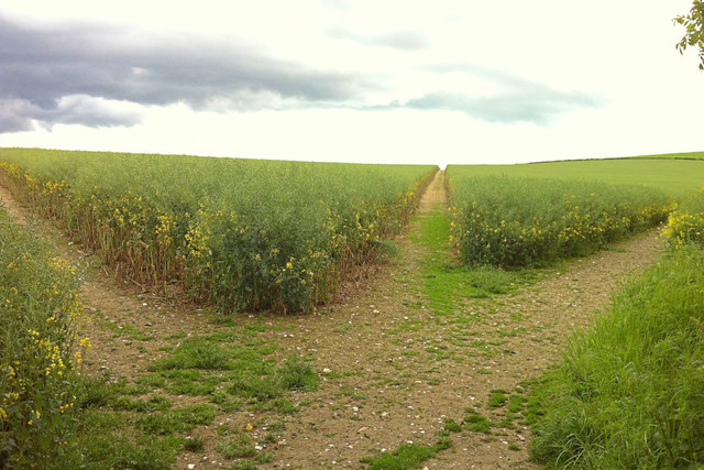
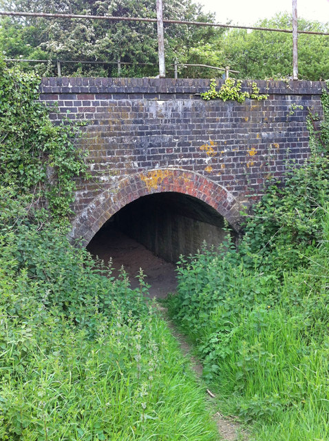
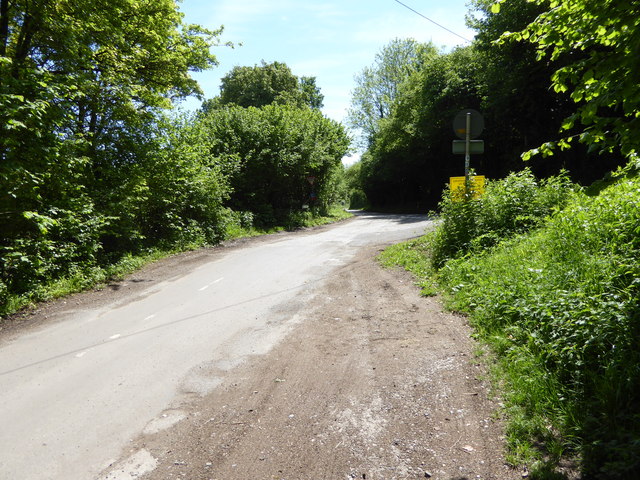
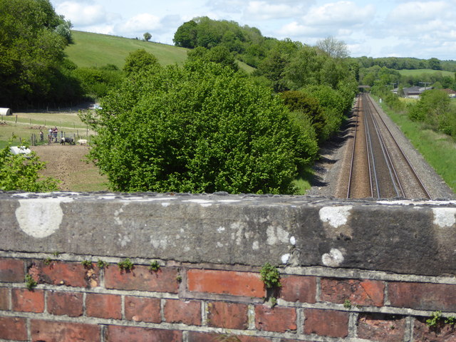
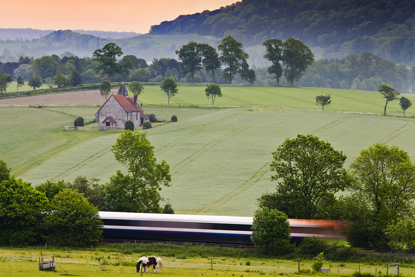
Barnett Copse Images

Images are sourced within 2km of 50.940859/-0.93975811 or Grid Reference SU7416. Thanks to Geograph Open Source API. All images are credited.

Lane towards Compton or South Harting
Compton Down Road Heading west.
Compton Down Road
Heading west.
The Red Lion at Chalton An attractive pub in this small village on the Staunton Way.
The Red Lion at Chalton
An attractive pub in this small village on the Staunton Way.
2016: a year on Geography (Day 58) Looking north-northeast in South Lane
2016: a year on Geography (Day 58)
Looking north-northeast in South Lane
2016: a year on Geograph (Day 252) Crossroads between Chalton, Ditcham Park, Rose Wood and Idsworth
2016: a year on Geograph (Day 252)
Crossroads between Chalton, Ditcham Park, Rose Wood and Idsworth
View of Cowdown Farm
Footpath from Buriton to Chalton Public footpath 041/5/1 Buriton follows a well-defined alignment across a cultivated cereal field south of Head Down Plantation.
Footpath from Buriton to Chalton
Public footpath 041/5/1 Buriton follows a well-defined alignment across a cultivated cereal field south of Head Down Plantation.
Footpath from Chalton to Buriton Public footpath 041/5/1 Buriton follows a long cross-field alignment to reach Head Down Plantation, which on this occasion, was reinstated to a very high standard, 1m wide.
Footpath from Chalton to Buriton
Public footpath 041/5/1 Buriton follows a long cross-field alignment to reach Head Down Plantation, which on this occasion, was reinstated to a very high standard, 1m wide.
Woodcroft Crossing Woodcroft Crossing and Keeper's Cottage on the Portsmouth line.  The crossing, which was always a private occupation crossing, appears to have been extinguished.
Woodcroft Crossing
Woodcroft Crossing and Keeper's Cottage on the Portsmouth line. The crossing, which was always a private occupation crossing, appears to have been extinguished.
Byway to Chalton Byway open to all traffic Clanfield 052/23/1 between New Barn Lane and Chalton: a delightful, well surfaced but unsealed country lane. The feature on the right appears to be entirely natural, despite the odd hammerhead shape.
Byway to Chalton
Byway open to all traffic Clanfield 052/23/1 between New Barn Lane and Chalton: a delightful, well surfaced but unsealed country lane. The feature on the right appears to be entirely natural, despite the odd hammerhead shape.
Paths on Chalton Downs Three public footpaths beckon over Chalton Downs: the right (Clanfield 052/14/2) being the Staunton Way and Sussex Border Path onto Idsworth Down, the middle (Clanfield 052/15/1) dropping down through the grassy lower slopes of the downs towards Heberdens, and the left (Clanfield 052/16/1) towards Huckswood Lane and Compton. The junction of the paths is immediately opposite the crossing of the farm road from Manor Farm, whereas the definitive map shows the junction about 100m into the field.
Paths on Chalton Downs
Three public footpaths beckon over Chalton Downs: the right (Clanfield 052/14/2) being the Staunton Way and Sussex Border Path onto Idsworth Down, the middle (Clanfield 052/15/1) dropping down through the grassy lower slopes of the downs towards Heberdens, and the left (Clanfield 052/16/1) towards Huckswood Lane and Compton. The junction of the paths is immediately opposite the crossing of the farm road from Manor Farm, whereas the definitive map shows the junction about 100m into the field.
Foot creep under railway line A foot tunnel or creep under the railway line near the beginning of footpath Rowlands Castle 201/4/1, which climbs Chalton Downs to Chalton village.  There is more headroom than appears: it's about 2m.  The footpath has always crossed the line by means of the creep, and it's fortunate that the railway engineers provided for it, because other crossings on the level on this line are steadily being closed.
Foot creep under railway line
A foot tunnel or creep under the railway line near the beginning of footpath Rowlands Castle 201/4/1, which climbs Chalton Downs to Chalton village. There is more headroom than appears: it's about 2m. The footpath has always crossed the line by means of the creep, and it's fortunate that the railway engineers provided for it, because other crossings on the level on this line are steadily being closed.
Shipwrights' Way 150 The woodland is left behind on New Barn Lane.
Shipwrights' Way 150
The woodland is left behind on New Barn Lane.
Shipwrights' Way 151 New Barn Lane carries on southwards.
Shipwrights' Way 151
New Barn Lane carries on southwards.
Shipwrights' Way 152 Continuing on there is a view of a house to the left.  The house may be at Woodcroft Farm.
Shipwrights' Way 152
Continuing on there is a view of a house to the left. The house may be at Woodcroft Farm.
Shipwrights' Way 153 Steps are seen on the path on the left.  They are on a bridge over the railway.
Shipwrights' Way 153
Steps are seen on the path on the left. They are on a bridge over the railway.
Shipwrights' Way 154 A junction with a less minor road is reached.  See also <a title="https://www.geograph.org.uk/photo/2923753" href="https://www.geograph.org.uk/photo/2923753">Link</a>.
Shipwrights' Way 154
A junction with a less minor road is reached. See also Link.
Shipwrights' Way 155 The Way crosses the Portsmouth line yet again.  This is the fifth crossing.
Shipwrights' Way 155
The Way crosses the Portsmouth line yet again. This is the fifth crossing.
Show me another place!

Barnett Copse is located at Grid Ref: SU7416 (Lat: 50.940859, Lng: -0.93975811)

Administrative County: Hampshire

District: East Hampshire

Police Authority: Hampshire

What 3 Words

///equal.occupations.added. Near South Harting, West Sussex

Related Wikis

Have you been to Barnett Copse?

Leave your review of Barnett Copse below (or comments, questions and feedback).