Kiln Copse

Wood, Forest in Berkshire

England

Kiln Copse

Roundabout on Reading Road, Arborfield Cross
Roundabout on Reading Road, Arborfield Cross Credit: David Howard

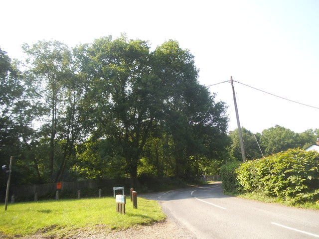
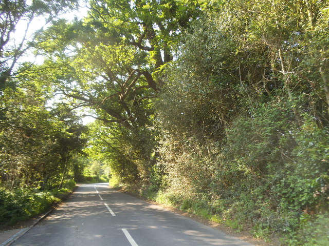
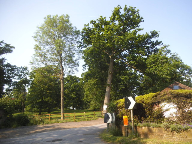
Kiln Copse, located in Berkshire, is a picturesque woodland area known for its natural beauty and diverse flora and fauna. Situated in the southeastern region of England, this forest covers an area of approximately 50 hectares.

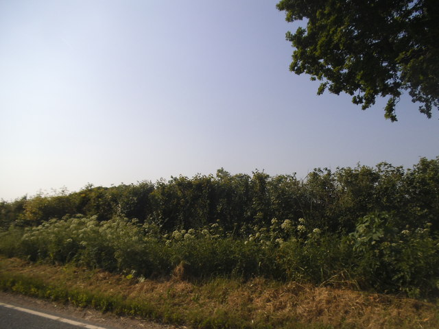
The copse is primarily composed of broadleaf trees, including oak, beech, and birch, which provide a lush canopy and create a serene and peaceful atmosphere for visitors. The dense undergrowth features a variety of wildflowers, ferns, and mosses, adding to the enchanting ambiance of the woodland.

Kiln Copse is a haven for wildlife enthusiasts and nature lovers, offering a habitat for numerous species. The forest is home to a variety of bird species, including woodpeckers, nightingales, and tawny owls. Mammals such as deer, foxes, and badgers also inhabit the area, further enhancing its ecological value.

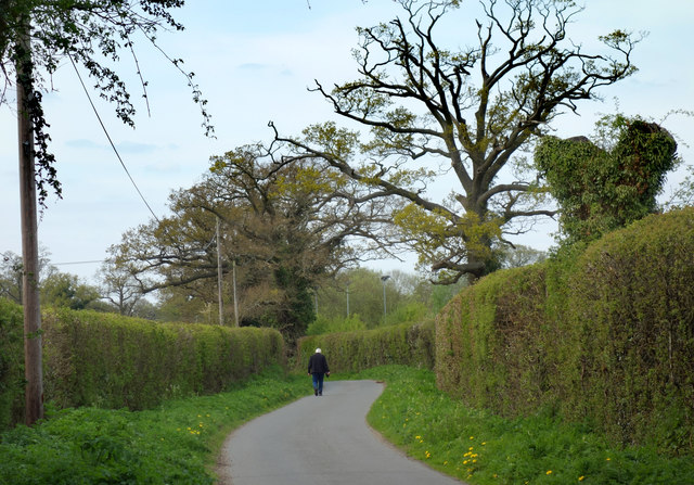
The copse is crisscrossed by a network of walking trails, allowing visitors to explore its natural wonders at their own pace. These paths meander through the forest, providing opportunities to observe and appreciate the diverse plant and animal life that thrives within the woodland.

Kiln Copse also holds historical significance, with remnants of an old kiln used for pottery production dating back to the 18th century. This archaeological feature adds an extra layer of intrigue and interest to the forest.

Overall, Kiln Copse in Berkshire is a captivating woodland retreat that offers a unique blend of natural beauty, biodiversity, and historical charm, making it a must-visit destination for nature enthusiasts and those seeking tranquility amidst the lush greenery of southern England.

If you have any feedback on the listing, please let us know in the comments section below.

Kiln Copse Images

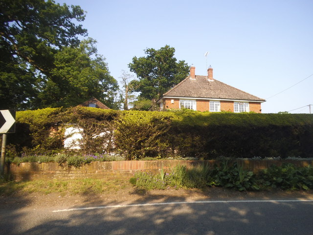
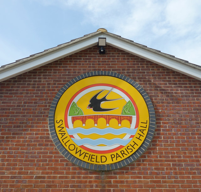
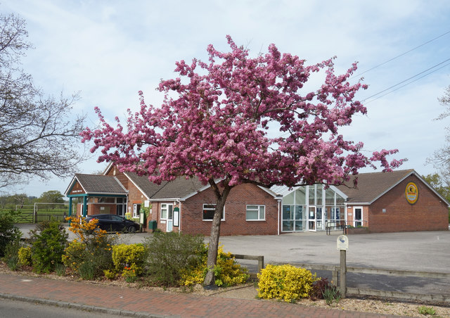
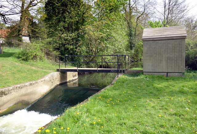
Images are sourced within 2km of 51.384032/-0.92940778 or Grid Reference SU7465. Thanks to Geograph Open Source API. All images are credited.

Roundabout on Reading Road, Arborfield Cross
Poperinghe Way, Arborfield
Verge on Poperinghe Way, Arborfield
Poperinghe Way, Arborfield
Whitehall Drive at the junction of Baird Road
Green by Whitehall Road, Arborfield Garrison
Castle Road, Farley Hill
Houses on Church Road, Farley Hill
Church Road, Farley Hill
Bungler's Hill, Farley Hill
Hedgerow along Bungler's Hill
Church Road, Swallowfield There was a full forest on the left in 2011 which has now been reduced to the few trees standing here.
Church Road, Swallowfield
There was a full forest on the left in 2011 which has now been reduced to the few trees standing here.
House on Church Road, Swallowfield
Swallowfield Badge on the Parish Hall On the side of the hall.
Swallowfield Badge on the Parish Hall
On the side of the hall.
Swallowfield Parish Hall
Swallowfield Gauging Station An Environment Agency flow measurement weir on the River Blackwater.
Swallowfield Gauging Station
An Environment Agency flow measurement weir on the River Blackwater.
The George and Dragon, Swallowfield A country pub a short way out of Swallowfield village.
The George and Dragon, Swallowfield
A country pub a short way out of Swallowfield village.
Nutbean Lane, Swallowfield
Show me another place!

Kiln Copse is located at Grid Ref: SU7465 (Lat: 51.384032, Lng: -0.92940778)

Unitary Authority: Wokingham

Police Authority: Thames Valley

What 3 Words

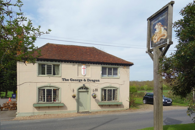
///land.necks.trace. Near Swallowfield, Berkshire

Related Wikis

Farley Castle

Farley Castle is an early 19th-century modern house situated at Farley Hill, Swallowfield, Berkshire.The Gothic-styled, two-storey house in red brick with...

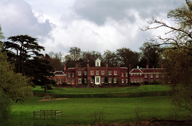
Farley Hall, Swallowfield

Farley Hall is a large 18th-century Grade I listed country house in the English village of Farley Hill, in the civil parish of Swallowfield, Berkshire...

Farley Hill, Berkshire

Farley Hill is a village in the county of Berkshire, England. For local government purposes, the village is within the civil parish of Swallowfield, which...
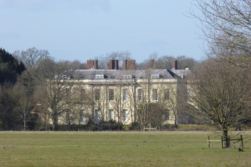
Swallowfield Park

Swallowfield Park is a Grade II* listed stately home and estate in the English county of Berkshire. The house is near the village of Swallowfield, some...

Nearby Amenities

Located within 500m of 51.384032,-0.92940778
Barrier: bollard
Lat/Long: 51.3846693/-0.9225635
Power: pole
Lat/Long: 51.3867506/-0.9258715
Power: pole
Lat/Long: 51.3871291/-0.9246425
Power: pole
Lat/Long: 51.3871187/-0.9273954
Power: pole
Lat/Long: 51.3872461/-0.9272985
Power: pole
Lat/Long: 51.3868732/-0.9256394
Power: pole
Lat/Long: 51.3870653/-0.9246163
Power: tower
Lat/Long: 51.3847022/-0.9340624
Power: pole
Lat/Long: 51.3879826/-0.9310589
Power: tower
Lat/Long: 51.3808175/-0.9341449
Power: tower
Lat/Long: 51.3858367/-0.935506
Power: pole
Lat/Long: 51.3880622/-0.9310243
Tanner's Farm
Landuse: farm
Note Retag: CS #48756035
Source: OS OpenData StreetView
Lat/Long: 51.3857162/-0.9301048
Farley Hill
Place: hamlet
Source: OS OpenData StreetView
Lat/Long: 51.3810561/-0.9244625
Barrier: bollard
Lat/Long: 51.3861517/-0.9270433
Power: pole
Lat/Long: 51.3875654/-0.9292897
Power: pole
Lat/Long: 51.3876785/-0.9292772
Power: tower
Lat/Long: 51.3822746/-0.9341173
Colour: white
Marker: stile
Material: concrete
Utility: oil
Lat/Long: 51.386205/-0.927267
Colour: white
Marker: post
Material: concrete
Utility: oil
Lat/Long: 51.3862077/-0.9272709
Colour: white
Description: tall white post, yellow hat with black stripe
Marker: aerial
Utility: oil
Lat/Long: 51.3862039/-0.9272736
Colour: white
Marker: post
Material: concrete
Utility: oil
Lat/Long: 51.3846114/-0.9223453
Colour: white
Marker: post
Material: concrete
Utility: oil
Lat/Long: 51.3861711/-0.9271131
Colour: white
Marker: stile
Material: concrete
Utility: oil
Lat/Long: 51.3861661/-0.927102
The data included in this document is from www.openstreetmap.org. The data is made available under ODbL.

Have you been to Kiln Copse?

Leave your review of Kiln Copse below (or comments, questions and feedback).