Stubb's Copse

Wood, Forest in Sussex Chichester

England

Stubb's Copse

The Red Lion at Chalton An attractive pub in this small village on the Staunton Way.
The Red Lion at Chalton Credit: David M Clark

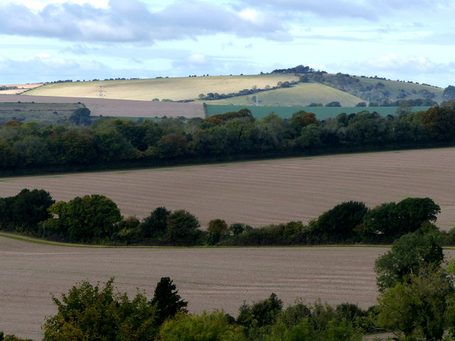
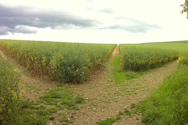
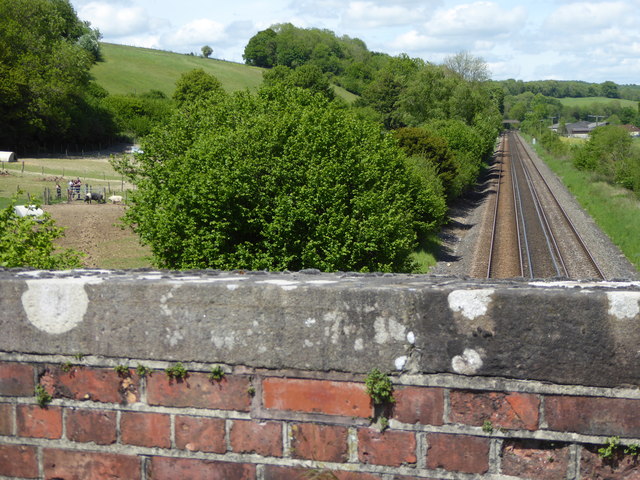
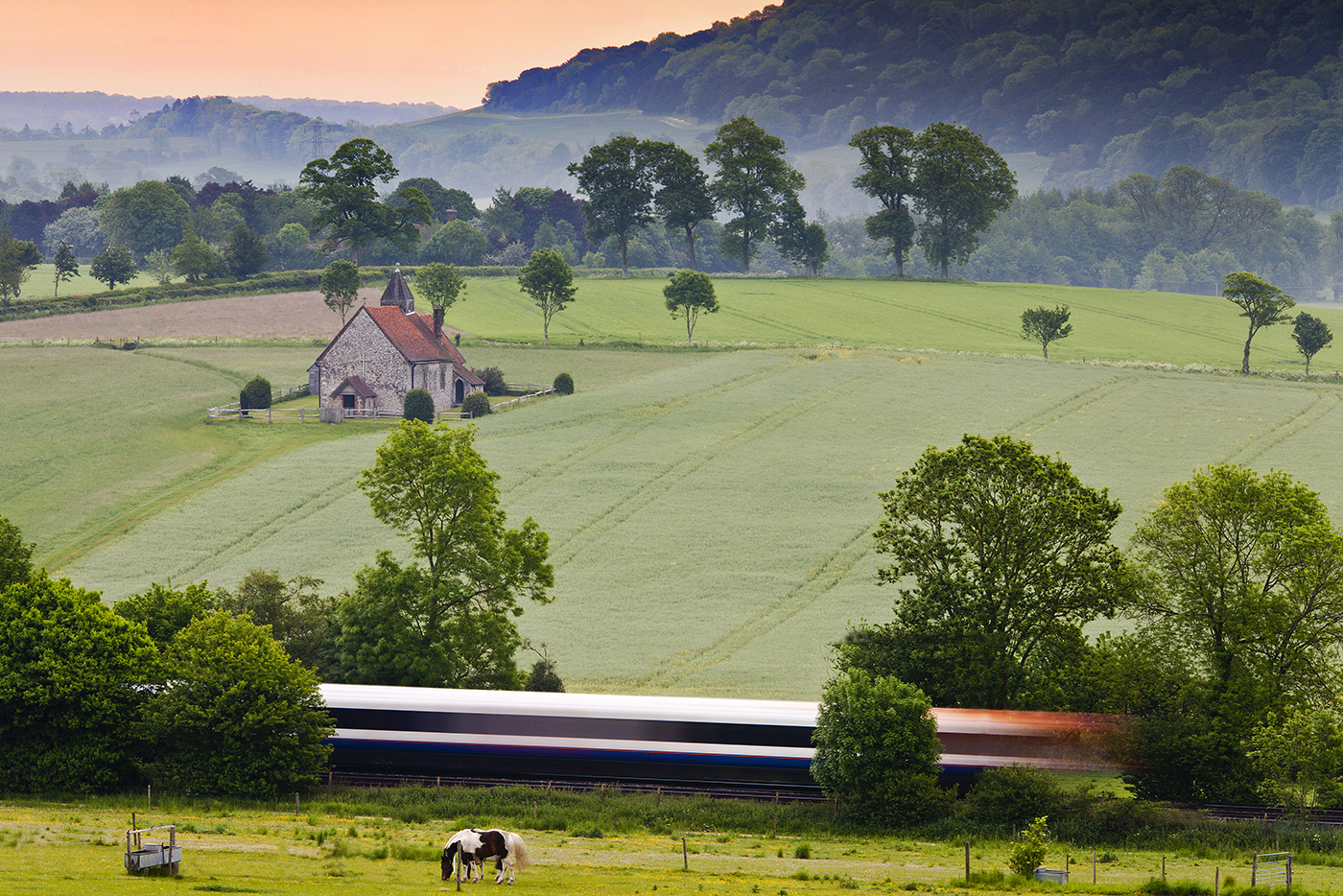
Stubb's Copse is a charming woodland located in Sussex, England. Covering an area of approximately 50 acres, this ancient woodland is a haven for nature lovers and outdoor enthusiasts alike. It is situated near the village of Stubb's Cross and surrounded by picturesque countryside.

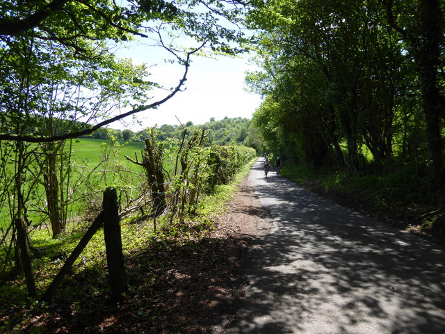
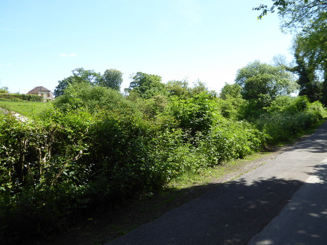
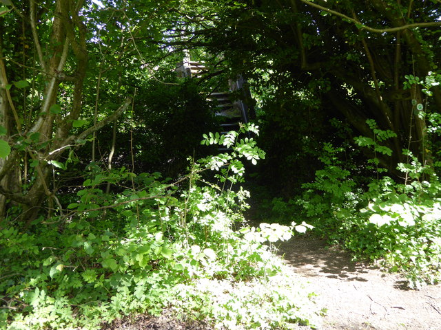
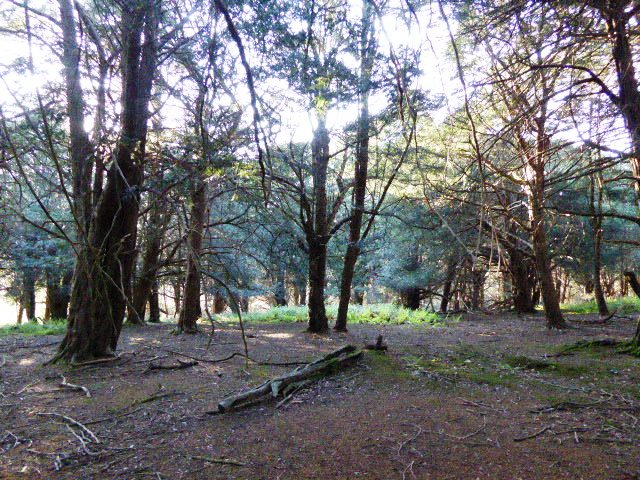
The copse is predominantly made up of broadleaf trees, including oak, beech, and ash. These majestic trees create a dense canopy that filters sunlight, creating a cool and tranquil atmosphere beneath. The forest floor is carpeted with a diverse range of wildflowers, such as bluebells, primroses, and violets, which add vibrant pops of color to the woodland.

Stubb's Copse is known for its rich biodiversity, providing a habitat for a variety of wildlife species. Visitors may spot deer, badgers, foxes, and rabbits roaming freely. Birdwatchers can delight in the sight of woodpeckers, nuthatches, and tawny owls, among other feathered residents.

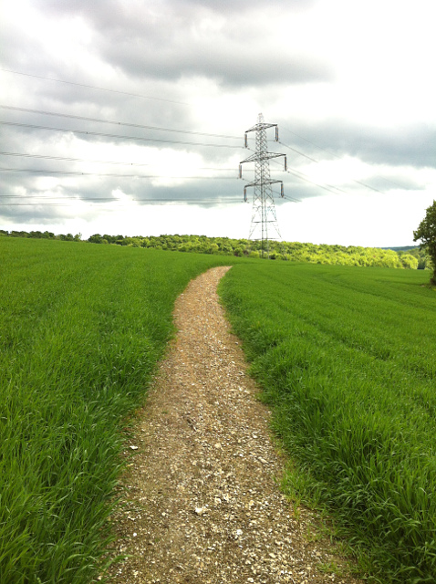
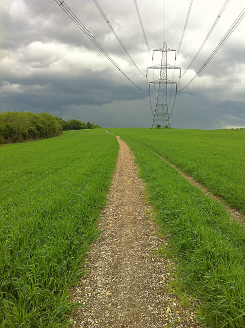
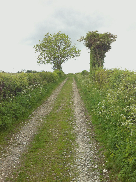
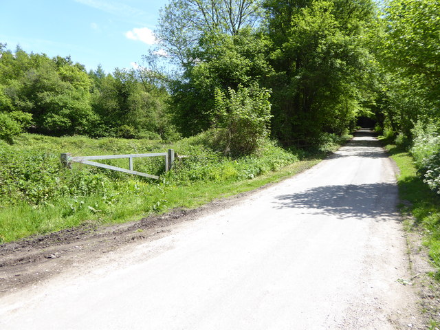
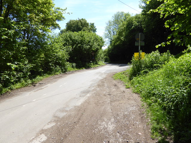
The copse is crisscrossed by a network of walking trails, allowing visitors to explore and immerse themselves in the natural beauty of the woodland. These paths meander through ancient trees, over babbling brooks, and past tranquil ponds, providing a peaceful escape from the bustle of everyday life.

Stubb's Copse has also been designated as a Site of Special Scientific Interest (SSSI) due to its ecological importance. The management of the woodland focuses on preserving its biodiversity and protecting rare plant species.

Overall, Stubb's Copse is a magical woodland retreat, offering visitors a chance to connect with nature and enjoy the peaceful ambiance of the Sussex countryside.

If you have any feedback on the listing, please let us know in the comments section below.

Stubb's Copse Images

Images are sourced within 2km of 50.944126/-0.93707896 or Grid Reference SU7416. Thanks to Geograph Open Source API. All images are credited.

The Red Lion at Chalton An attractive pub in this small village on the Staunton Way.
The Red Lion at Chalton
An attractive pub in this small village on the Staunton Way.
2016: a year on Geography (Day 58) Looking north-northeast in South Lane
2016: a year on Geography (Day 58)
Looking north-northeast in South Lane
2016: a year on Geograph (Day 252) Crossroads between Chalton, Ditcham Park, Rose Wood and Idsworth
2016: a year on Geograph (Day 252)
Crossroads between Chalton, Ditcham Park, Rose Wood and Idsworth
View of Cowdown Farm
Footpath from Buriton to Chalton Public footpath 041/5/1 Buriton follows a well-defined alignment across a cultivated cereal field south of Head Down Plantation.
Footpath from Buriton to Chalton
Public footpath 041/5/1 Buriton follows a well-defined alignment across a cultivated cereal field south of Head Down Plantation.
Footpath from Chalton to Buriton Public footpath 041/5/1 Buriton follows a long cross-field alignment to reach Head Down Plantation, which on this occasion, was reinstated to a very high standard, 1m wide.
Footpath from Chalton to Buriton
Public footpath 041/5/1 Buriton follows a long cross-field alignment to reach Head Down Plantation, which on this occasion, was reinstated to a very high standard, 1m wide.
Woodcroft Crossing Woodcroft Crossing and Keeper's Cottage on the Portsmouth line.  The crossing, which was always a private occupation crossing, appears to have been extinguished.
Woodcroft Crossing
Woodcroft Crossing and Keeper's Cottage on the Portsmouth line. The crossing, which was always a private occupation crossing, appears to have been extinguished.
Byway to Chalton Byway open to all traffic Clanfield 052/23/1 between New Barn Lane and Chalton: a delightful, well surfaced but unsealed country lane. The feature on the right appears to be entirely natural, despite the odd hammerhead shape.
Byway to Chalton
Byway open to all traffic Clanfield 052/23/1 between New Barn Lane and Chalton: a delightful, well surfaced but unsealed country lane. The feature on the right appears to be entirely natural, despite the odd hammerhead shape.
Paths on Chalton Downs Three public footpaths beckon over Chalton Downs: the right (Clanfield 052/14/2) being the Staunton Way and Sussex Border Path onto Idsworth Down, the middle (Clanfield 052/15/1) dropping down through the grassy lower slopes of the downs towards Heberdens, and the left (Clanfield 052/16/1) towards Huckswood Lane and Compton. The junction of the paths is immediately opposite the crossing of the farm road from Manor Farm, whereas the definitive map shows the junction about 100m into the field.
Paths on Chalton Downs
Three public footpaths beckon over Chalton Downs: the right (Clanfield 052/14/2) being the Staunton Way and Sussex Border Path onto Idsworth Down, the middle (Clanfield 052/15/1) dropping down through the grassy lower slopes of the downs towards Heberdens, and the left (Clanfield 052/16/1) towards Huckswood Lane and Compton. The junction of the paths is immediately opposite the crossing of the farm road from Manor Farm, whereas the definitive map shows the junction about 100m into the field.
Shipwrights' Way 150 The woodland is left behind on New Barn Lane.
Shipwrights' Way 150
The woodland is left behind on New Barn Lane.
Shipwrights' Way 151 New Barn Lane carries on southwards.
Shipwrights' Way 151
New Barn Lane carries on southwards.
Shipwrights' Way 152 Continuing on there is a view of a house to the left.  The house may be at Woodcroft Farm.
Shipwrights' Way 152
Continuing on there is a view of a house to the left. The house may be at Woodcroft Farm.
Shipwrights' Way 153 Steps are seen on the path on the left.  They are on a bridge over the railway.
Shipwrights' Way 153
Steps are seen on the path on the left. They are on a bridge over the railway.
Shipwrights' Way 154 A junction with a less minor road is reached.  See also <a title="https://www.geograph.org.uk/photo/2923753" href="https://www.geograph.org.uk/photo/2923753">Link</a>.
Shipwrights' Way 154
A junction with a less minor road is reached. See also Link.
Shipwrights' Way 155 The Way crosses the Portsmouth line yet again.  This is the fifth crossing.
Shipwrights' Way 155
The Way crosses the Portsmouth line yet again. This is the fifth crossing.
Shipwrights' Way 156 This long country road passes a footpath on the left.
Shipwrights' Way 156
This long country road passes a footpath on the left.
Chalton, Hampshire, St Michael & All Angels
Old Direction Sign - Signpost by Chalton Lane, Chalton Annulus finial - 4 arms; Hampshire halo by the UC road, in parish of Clanfield (East Hampshire District), junction of Chalton Lane and South Lane, Red Lion PH, T-junction.

Surveyed

Milestone Society National ID: HA_SU7316
Old Direction Sign - Signpost by Chalton Lane, Chalton
Annulus finial - 4 arms; Hampshire halo by the UC road, in parish of Clanfield (East Hampshire District), junction of Chalton Lane and South Lane, Red Lion PH, T-junction. Surveyed Milestone Society National ID: HA_SU7316
Show me another place!

Stubb's Copse is located at Grid Ref: SU7416 (Lat: 50.944126, Lng: -0.93707896)

Administrative County: West Sussex

District: Chichester

Police Authority: Sussex

What 3 Words

///capers.dote.mint. Near South Harting, West Sussex

Related Wikis

Ditcham Park School

Ditcham Park School is a co-educational, independent school in the civil parish of Buriton, near Petersfield, in the English county of Hampshire. ��2...

Woodcroft Halt railway station

Woodcroft Halt railway station was a former railway halt located in the parish of Buriton between Rowlands Castle and Petersfield on the Portsmouth Direct...

Chalton, Hampshire

Chalton is a small village and former civil parish, now in the parish of Clanfield, in the East Hampshire district of Hampshire, England. It is 2.3 miles...

West Harting Down SSSI

West Harting Down SSSI is a 13.9-hectare (34-acre) biological Site of Special Scientific Interest west of South Harting in West Sussex. It is part of...

Oakham Hill

Oakham Hill is one of the highest points in the county of Hampshire, England, and in the South Downs, rising to 202 metres (663 ft) above sea level. Oakham...

Coulters Dean

Coulters Dean is a 2.2-hectare (5.4-acre) biological Site of Special Scientific Interest south-east of Buriton in Hampshire. It is part of the 4-hectare...

Compton Down, Compton

Compton Down is an extent of high ground near Compton, West Sussex where there was an Admiralty semaphore station. The semaphore station was built at...

Idsworth

Idsworth is an isolated hamlet, with mediaeval Saxon origins, in the East Hampshire district and South Downs National Park in Hampshire, England. Formerly...

Nearby Amenities

Located within 500m of 50.944126,-0.93707896
Harris's Well
Description: Daniel Chater of Fordingbridge, Hampshire was murdered here in 1749 by a gang of smugglers.
Disused Man Made: water_well
Information: board
Source: survey
Tourism: information
Wikidata: Q3633899
Wikipedia: en:Hawkhurst Gang
Lat/Long: 50.9454693/-0.9320456
The data included in this document is from www.openstreetmap.org. The data is made available under ODbL.

Have you been to Stubb's Copse?

Leave your review of Stubb's Copse below (or comments, questions and feedback).