Alder Wood
Wood, Forest in Hampshire Hart
England
Alder Wood
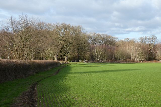
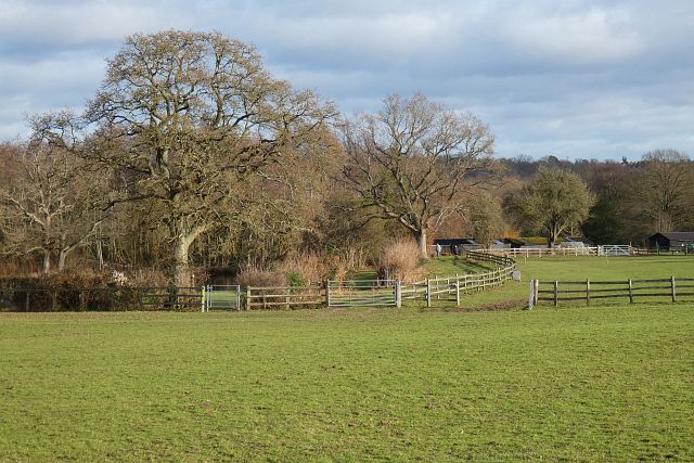
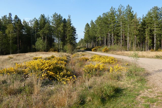
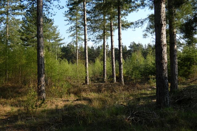
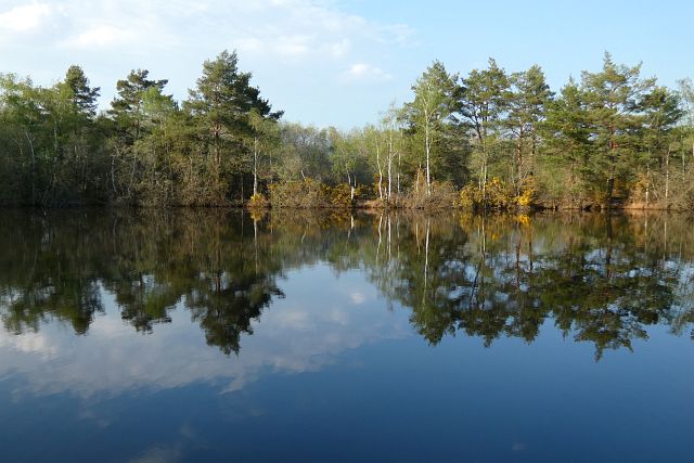
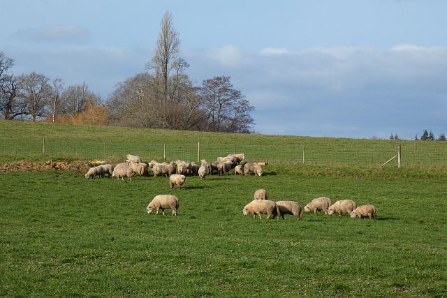
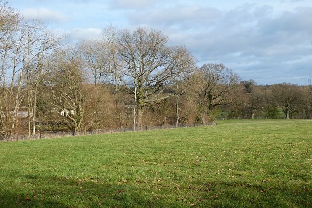
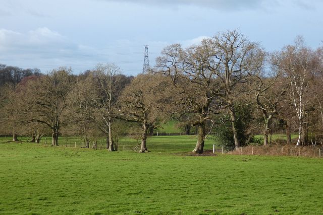
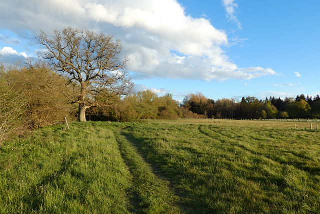
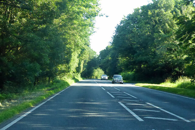
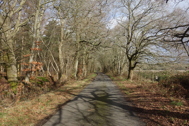
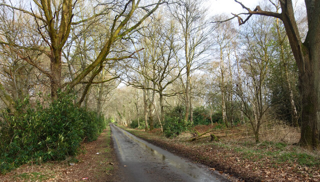
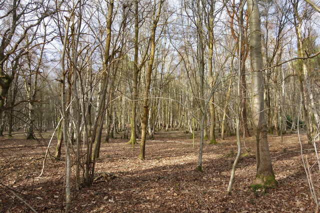
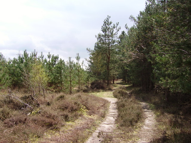
Alder Wood, located in Hampshire, England, is a picturesque forest that covers an area of approximately 500 acres. It is known for its diverse range of flora and fauna, offering visitors a unique and immersive experience in nature. The wood is predominantly made up of alder trees, from which it derives its name, but also boasts a variety of other tree species such as oak, birch, and beech.
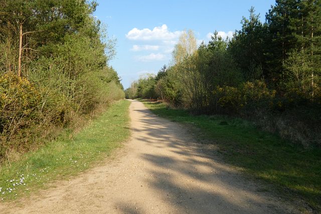
The wood is renowned for its tranquil atmosphere, making it a popular destination for nature enthusiasts and those seeking a peaceful retreat. Walking trails wind their way through the forest, providing opportunities for visitors to explore and appreciate the beauty of their surroundings. The dense canopy of trees provides shade on sunny days, and the forest floor is adorned with a rich carpet of moss and ferns.
Birdwatchers flock to Alder Wood to catch a glimpse of its diverse avian population, which includes species such as woodpeckers, owls, and various songbirds. The wood is also home to a wide range of mammals, including deer, foxes, and squirrels, adding to its overall charm.
As a designated Site of Special Scientific Interest (SSSI), Alder Wood is of great ecological importance. The wood supports a variety of rare and endangered plant species, some of which are specific to this particular habitat. Conservation efforts are in place to protect and preserve the wood, allowing future generations to enjoy its natural beauty.
In conclusion, Alder Wood in Hampshire is a captivating forest, offering a tranquil escape and a chance to immerse oneself in nature. With its diverse flora and fauna, it is an ideal destination for outdoor enthusiasts and nature lovers alike.
If you have any feedback on the listing, please let us know in the comments section below.
Alder Wood Images
Images are sourced within 2km of 51.342288/-0.93295041 or Grid Reference SU7460. Thanks to Geograph Open Source API. All images are credited.
Alder Wood is located at Grid Ref: SU7460 (Lat: 51.342288, Lng: -0.93295041)
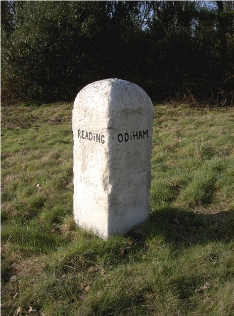
Administrative County: Hampshire
District: Hart
Police Authority: Hampshire
What 3 Words
///airbrush.tracks.sprayed. Near Eversley, Hampshire
Nearby Locations
Related Wikis
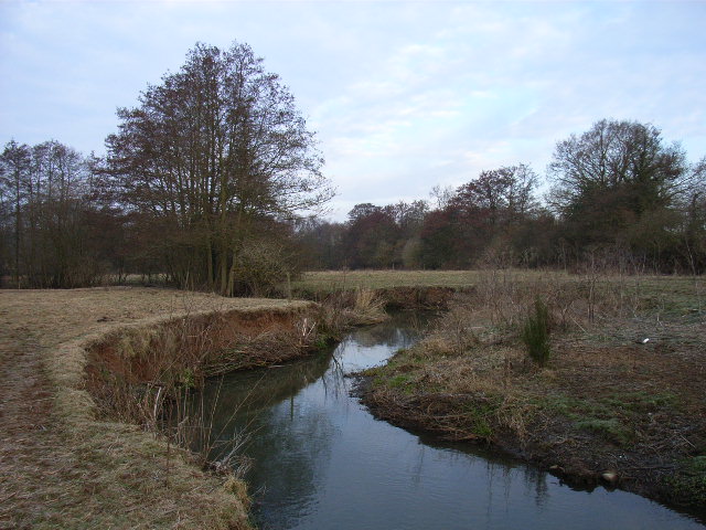
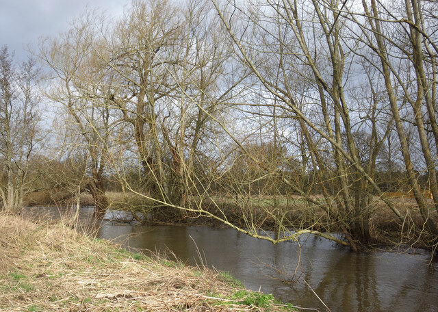
River Hart
The River Hart is a tributary of the River Whitewater in north Hampshire, England. It rises at Ashley Head spring in Crondall and flows north to meet the...

Bramshill
Bramshill is a civil parish in the English county of Hampshire. Its name has become synonymous with the Police Staff College, Bramshill located in Bramshill...

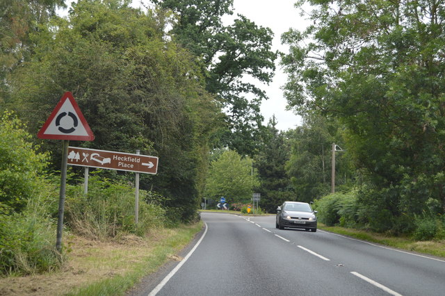
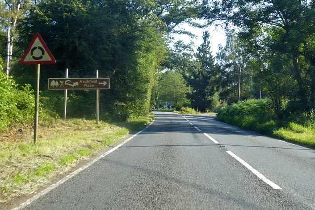
Heckfield Place
A country estate of 438 acres, the heart of Heckfield Place is a Georgian Grade II listed manor house, located in Hampshire, United Kingdom. It was built...
Hazeley
Hazeley is a village in the Hart District in Hampshire, England. It is 2.5 miles (3 km) away from Hartley Wintney and comes under the parish of Mattingley...

Police Staff College, Bramshill
The Police Staff College, Bramshill, Bramshill House, Bramshill, (near Hook) Hampshire, England, was until 2015 the principal police staff training establishment...
Heckfield Heath
Heckfield Heath is a hamlet in the civil parish of Heckfield in the Hart district of Hampshire, England. Its nearest town is Hook, which lies approximately...
Bramshill House
Bramshill House, in Bramshill, northeast Hampshire, England, is one of the largest and most important Jacobean prodigy house mansions in England. It was...
Bramshill SSSI
Bramshill is a 673.3-hectare (1,664-acre) biological Site of Special Scientific Interest near Bramshill, northeast of Basingstoke in Hampshire. It is part...
Nearby Amenities
Located within 500m of 51.342288,-0.93295041Have you been to Alder Wood?
Leave your review of Alder Wood below (or comments, questions and feedback).